Brakey Hill

Hill, Mountain in Surrey Tandridge

England

Brakey Hill

Posterngate Farm, South Godstone, Surrey Part of the extensive grounds of Posterngate Farm, where the many activities include the maintenance of a herd of pedigree Charollais, and a lake for trout fishing.  There is even a small business park.  
And this photograph 'wraps up' the TQ34 hectad, of which I have claimed 48 first geographs.
Posterngate Farm, South Godstone, Surrey Credit: Dr Neil Clifton

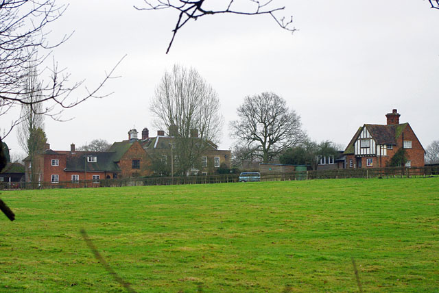
Brakey Hill is a prominent geographical feature located in the county of Surrey, England. Standing at an elevation of approximately 220 meters (720 feet), it is categorized as a hill rather than a mountain due to its relatively modest height. The hill is situated within the Surrey Hills Area of Outstanding Natural Beauty, which encompasses a vast expanse of picturesque and undulating landscapes.

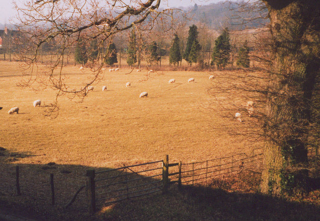
Brakey Hill is renowned for its breathtaking panoramic views that stretch across the surrounding countryside. From its summit, one can observe the lush greenery of the Surrey Hills, with its patchwork of fields, woodlands, and quaint villages. On clear days, the visibility extends to the distant horizons, allowing glimpses of the South Downs to the south and the North Downs to the north.

The hill itself is adorned with a mixture of deciduous and coniferous trees, contributing to its natural beauty throughout the year. It is a popular destination for outdoor enthusiasts, offering numerous walking trails that meander through the surrounding countryside. The diverse flora and fauna found on Brakey Hill attract nature lovers and birdwatchers alike, with various bird species nesting within the hill's wooded areas.

Brakey Hill holds historical significance as well. It is believed to have been a site of human activity dating back to the Iron Age, with remnants of ancient settlements and burial mounds found in the vicinity. The hill's historical and natural importance has led to its preservation and designation as a protected area, ensuring its beauty and charm can be appreciated by generations to come.

If you have any feedback on the listing, please let us know in the comments section below.
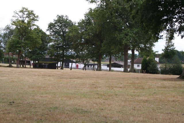
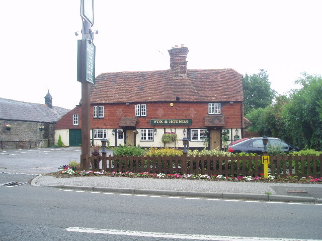
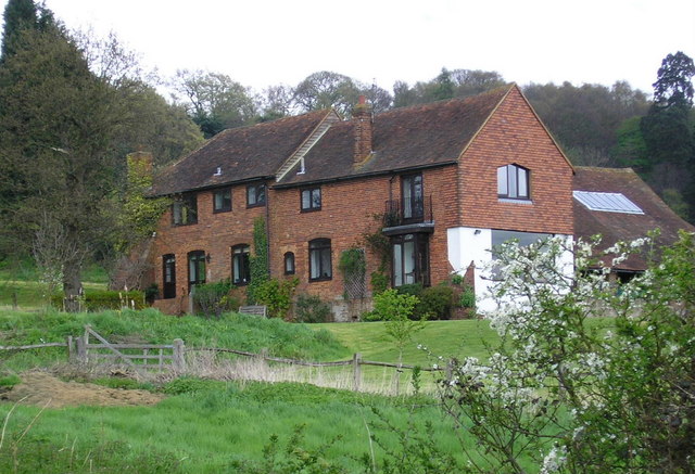
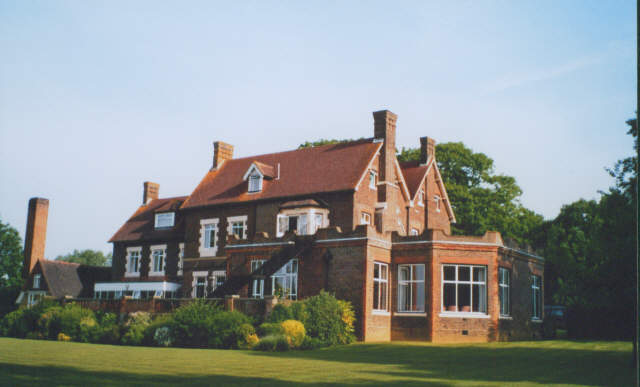
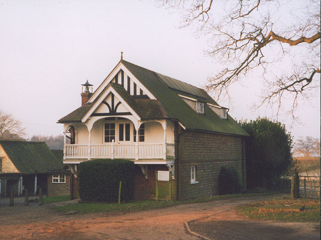
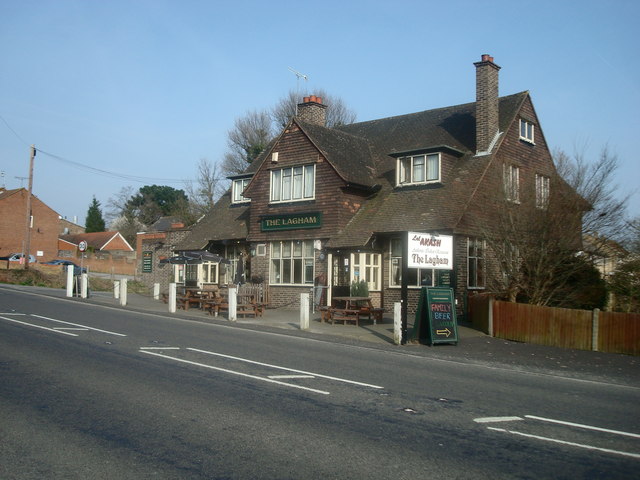
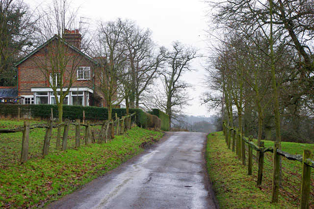
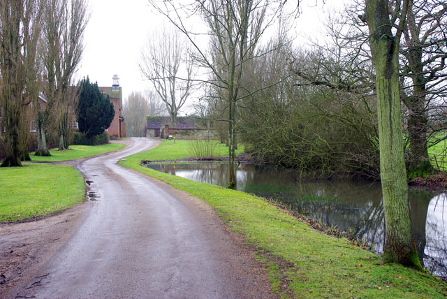
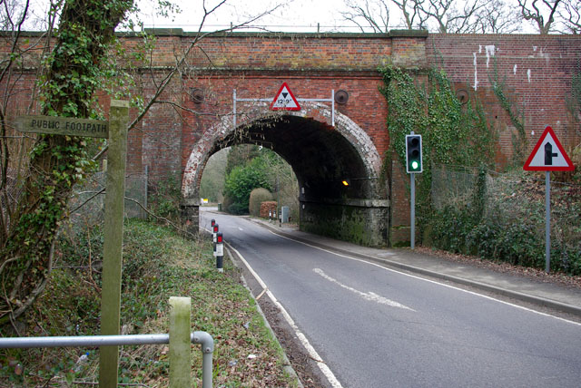
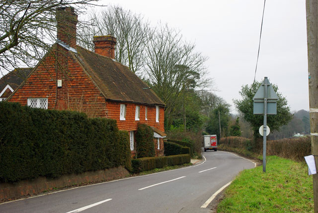
Brakey Hill Images

Images are sourced within 2km of 51.234253/-0.060907306 or Grid Reference TQ3550. Thanks to Geograph Open Source API. All images are credited.

Posterngate Farm, South Godstone, Surrey Part of the extensive grounds of Posterngate Farm, where the many activities include the maintenance of a herd of pedigree Charollais, and a lake for trout fishing.  There is even a small business park.  
And this photograph 'wraps up' the TQ34 hectad, of which I have claimed 48 first geographs.
Posterngate Farm, South Godstone, Surrey
Part of the extensive grounds of Posterngate Farm, where the many activities include the maintenance of a herd of pedigree Charollais, and a lake for trout fishing. There is even a small business park. And this photograph 'wraps up' the TQ34 hectad, of which I have claimed 48 first geographs.
South Godstone South Godstone is 3 miles south of Godstone village and developed when the Tonbridge railway line was built in the 19th century.
South Godstone
South Godstone is 3 miles south of Godstone village and developed when the Tonbridge railway line was built in the 19th century.
Fox and Hounds at South Godstone This building has served ale since the 17th century. On the Tilburstow Hill Road and well worth the diversion !
Fox and Hounds at South Godstone
This building has served ale since the 17th century. On the Tilburstow Hill Road and well worth the diversion !
Coldharbour Farm now a private house
Coldharbour Farm
now a private house
St Mark's Foundation A private chapel at South Park Farm, listed grade II and occasionally used for public services.
St Mark's Foundation
A private chapel at South Park Farm, listed grade II and occasionally used for public services.
Wychcroft Retreat House Anglican Diocese of Southwark Retreat House used for residential training and quiet days
Wychcroft Retreat House
Anglican Diocese of Southwark Retreat House used for residential training and quiet days
Houses in Terra Cotta Road, Surrey Terra Cotta Road leads westwards off Tilburstow Hill Road.  It continues past these houses to end in a small business park.  These houses are probably the nearest you will get to 'affordable' houses in the Godstone area - but you will get a shock if you enquire the price.
Houses in Terra Cotta Road, Surrey
Terra Cotta Road leads westwards off Tilburstow Hill Road. It continues past these houses to end in a small business park. These houses are probably the nearest you will get to 'affordable' houses in the Godstone area - but you will get a shock if you enquire the price.
The chapel at Wychcroft An unusual private chapel, dedicated to the People of God, part of the Southwark diocesan retreat house and training centre.
The chapel at Wychcroft
An unusual private chapel, dedicated to the People of God, part of the Southwark diocesan retreat house and training centre.
Sheep grazing at Wychcroft A pastoral scene near Bletchingley.
Sheep grazing at Wychcroft
A pastoral scene near Bletchingley.
Godstone Station, Surrey
The Lagham Public House, Eastbourne Road, South Godstone, Surrey
Eastbourne Road, South Godstone
At the junction New Road meets Miles Lane. Paygate Wood is ahead.
At the junction
New Road meets Miles Lane. Paygate Wood is ahead.
South Park Farm Something more than a farm, there is a chapel in the complex.
South Park Farm
Something more than a farm, there is a chapel in the complex.
Cottages on drive to South Park Farm Just over the crest is the drive entrance where the public bridleway along the drive finishes and the public road, South Park Lane, starts.
Cottages on drive to South Park Farm
Just over the crest is the drive entrance where the public bridleway along the drive finishes and the public road, South Park Lane, starts.
Approach to South Park The chapel is prominent ahead.
Approach to South Park
The chapel is prominent ahead.
Railway Bridge over Roman road The Redhill - Tonbridge line crosses Tilburstow Hill Road, mapped as a Roman road, and certainly an older southern approach to Godstone than the course used by the A22.
Railway Bridge over Roman road
The Redhill - Tonbridge line crosses Tilburstow Hill Road, mapped as a Roman road, and certainly an older southern approach to Godstone than the course used by the A22.
Cottages on Hart's Lane Handily placed for the pub - just round the corner to the Fox and Hounds on Tilburstow Hill Road.
Cottages on Hart's Lane
Handily placed for the pub - just round the corner to the Fox and Hounds on Tilburstow Hill Road.
Show me another place!

Brakey Hill is located at Grid Ref: TQ3550 (Lat: 51.234253, Lng: -0.060907306)

Administrative County: Surrey

District: Tandridge

Police Authority: Surrey

What 3 Words

///super.robe.wished. Near Godstone, Surrey

Related Wikis

Tilburstow Hill

Tilburstow Hill is a 9-hectare (22-acre) nature reserve south-east of Godstone in Surrey. It is managed by the Surrey Wildlife Trust.This is a semi-natural...

Godstone Ponds

Godstone Ponds is a 13.6-hectare (34-acre) biological Site of Special Scientific Interest in Godstone in Surrey. Bay Pond is an educational nature reserve...

Graeme Hendrey Wood

Graeme Hendrey Wood is a 10-hectare (25-acre) nature reserve east of Bletchingley in Surrey. It is managed by the Surrey Wildlife Trust.This former sand...

Bay Pond

Bay Pond is a 7-hectare (17-acre) nature reserve in Godstone in Surrey. It is managed by the Surrey Wildlife Trust. It is part of Godstone Ponds Site...

Godstone

Godstone is a village and civil parish in the Tandridge District of Surrey, England. It is 6 miles (9.7 km) east of Reigate, 3 miles (4.8 km) west of Oxted...

1929 Luft Hansa Junkers G 24 crash

The 1929 Luft Hansa Junkers G.24 crash occurred on 6 November 1929 when a Junkers G 24 of Luft Hansa crashed at Godstone, Surrey, United Kingdom while...

A25 road

The A25 road is an east–west main road in the South-East of England. Its carries traffic east from Guildford, Surrey, eastward through Surrey and into...

Tandridge

Tandridge is a village and civil parish in the Tandridge District, in the county of Surrey, England. Its nucleus is on a rise of the Greensand Ridge between...

Nearby Amenities

Located within 500m of 51.234253,-0.060907306
Cherishland Farm
Place: farm
Lat/Long: 51.2328944/-0.0631578
The data included in this document is from www.openstreetmap.org. The data is made available under ODbL.

Have you been to Brakey Hill?

Leave your review of Brakey Hill below (or comments, questions and feedback).