Breakneck Hill
Hill, Mountain in Surrey
England
Breakneck Hill

Breakneck Hill is a prominent geographical feature located in the county of Surrey, England. It is classified as a hill, although some may consider it more of a small mountain due to its relatively steep slopes and imposing presence. The hill is situated within the North Downs, a range of chalk hills that stretches across southeastern England.
Rising to an elevation of approximately 210 meters (690 feet), Breakneck Hill offers breathtaking views of the surrounding countryside. Its distinct shape and commanding height make it a popular destination for hikers, nature enthusiasts, and photographers alike. The summit provides a panoramic vista, allowing visitors to appreciate the rolling hills, lush green valleys, and charming villages that dot the region.
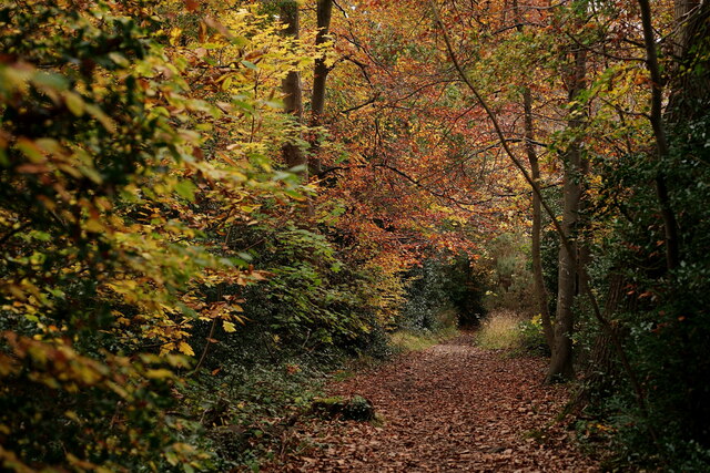
Breakneck Hill is known for its challenging terrain, with several footpaths offering various routes to the top. As the name suggests, the hill's steep incline can be demanding, and hikers should exercise caution when traversing the slopes. However, the rewarding views and the sense of accomplishment upon reaching the summit make the effort worthwhile.
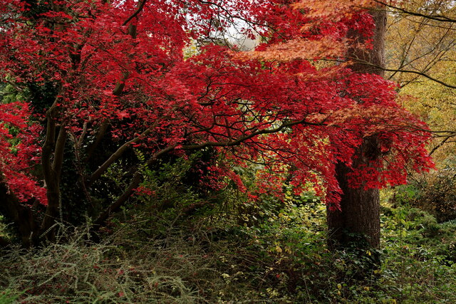
The hill is also home to a diverse array of flora and fauna. Native wildflowers, such as bluebells and primroses, adorn its slopes during the spring months, creating a colorful spectacle. The hillside provides a habitat for an assortment of bird species, including buzzards and kestrels, and occasional sightings of deer and other wildlife are not uncommon.
Breakneck Hill is a cherished natural landmark in Surrey, offering visitors a chance to immerse themselves in the beauty of the English countryside while enjoying a challenging outdoor adventure.
If you have any feedback on the listing, please let us know in the comments section below.
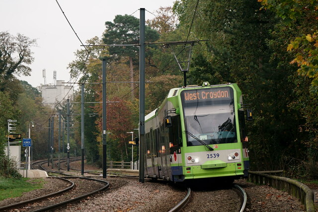
Breakneck Hill Images
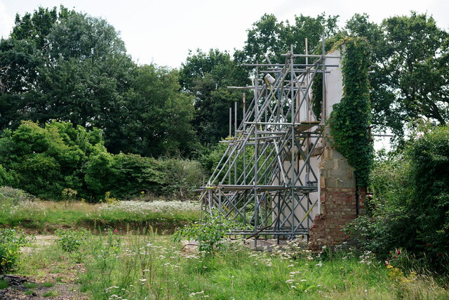
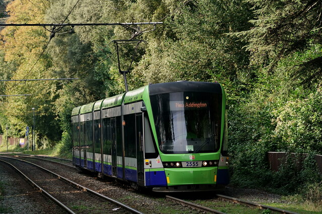
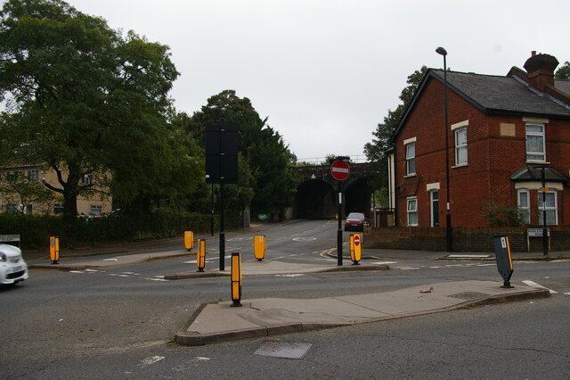
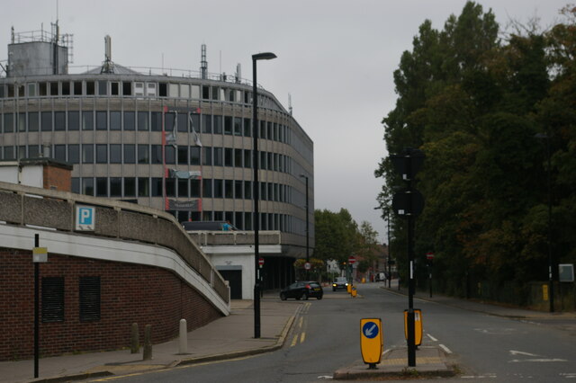
Images are sourced within 2km of 51.351798/-0.079917767 or Grid Reference TQ3363. Thanks to Geograph Open Source API. All images are credited.


Breakneck Hill is located at Grid Ref: TQ3363 (Lat: 51.351798, Lng: -0.079917767)
Unitary Authority: Croydon
Police Authority: Metropolitan
What 3 Words
///ships.feast.wished. Near South Croydon, London
Nearby Locations
Related Wikis

Croham Hurst
Croham Hurst is a 33.6 hectare (83.02 acre) biological Site of Special Scientific Interest (SSSI) and a Site of Metropolitan Importance for Nature Conservation...

South Croydon (ward)
South Croydon is a ward in the London Borough of Croydon, London in the United Kingdom, covering part of the Croham Hurst and South Croydon. The ward returns...
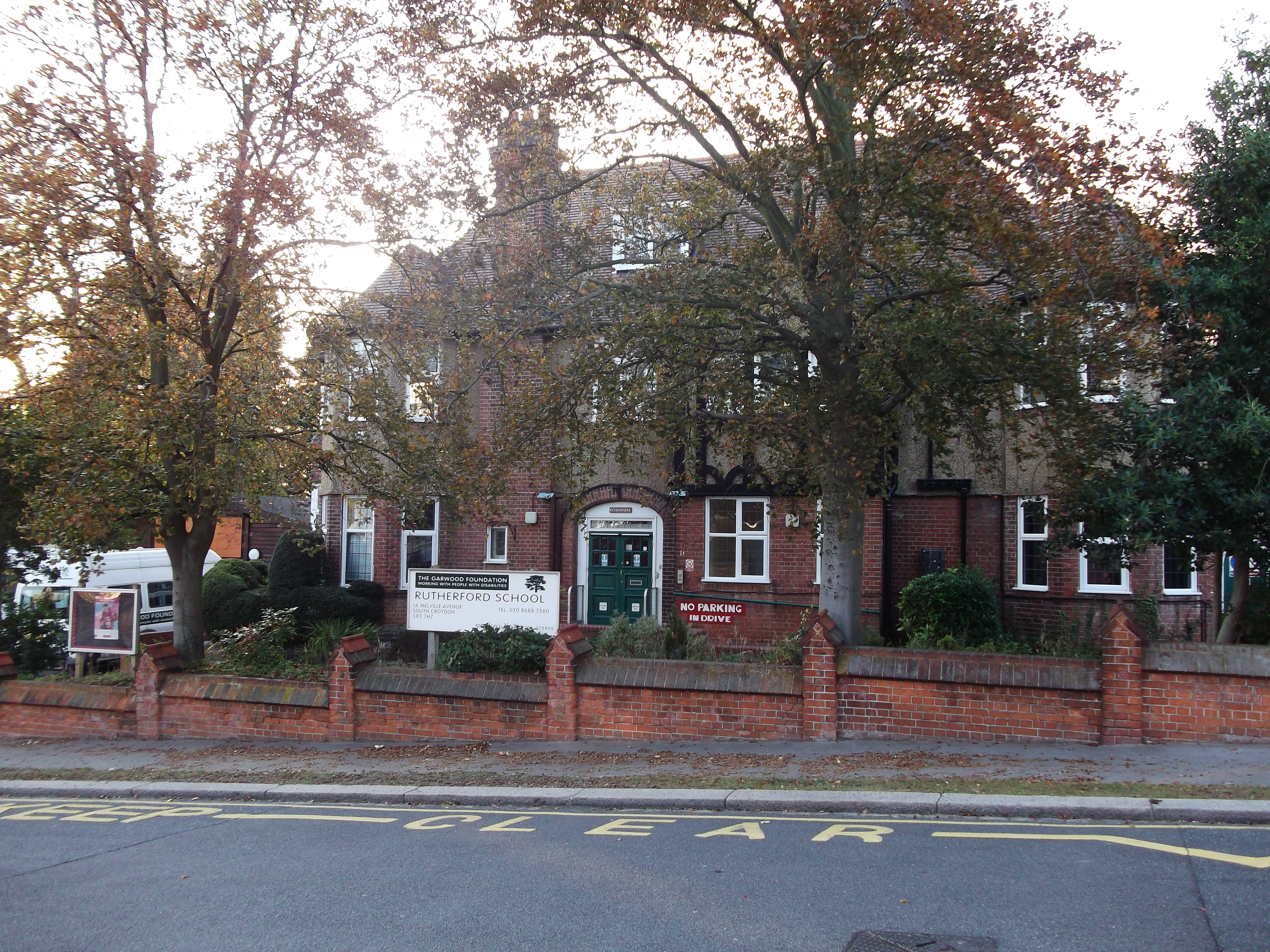
Rutherford School
Rutherford School is an independent special school for pupils with profound and multiple learning difficulties (PMLD) aged 3–19 that aims to provide inclusive...

South Croydon rail crash
The South Croydon rail crash on the British railway system occurred on 24 October 1947.The crash took place south of South Croydon railway station. Two...
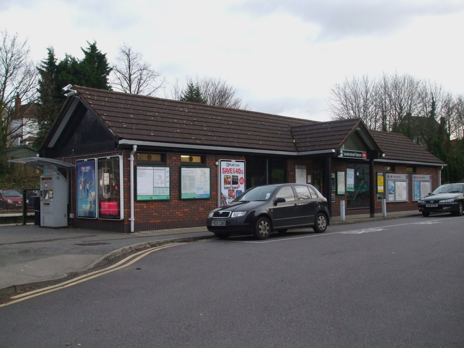
Sanderstead railway station
Sanderstead railway station is on the Oxted Line in the London Borough of Croydon, 1 mile (1.6 km) from Sanderstead village. It is in Travelcard Zone 6...
Selsdon railway station
Selsdon railway station was at the junction of the Croydon, Oxted and East Grinstead Railway and the now-closed Woodside and South Croydon Joint Railway...
South Croydon
South Croydon in south London is the area surrounding the valley south of central Croydon and running as far south as the former Red Deer public house...
Royal Russell School
Royal Russell School (before 1962, the Royal Warehousemen Clerks and Drapers' Schools; before 1953, the Warehousemen Clerks and Drapers' Schools; before...
Nearby Amenities
Located within 500m of 51.351798,-0.079917767Have you been to Breakneck Hill?
Leave your review of Breakneck Hill below (or comments, questions and feedback).