Limlow Hill
Hill, Mountain in Cambridgeshire South Cambridgeshire
England
Limlow Hill

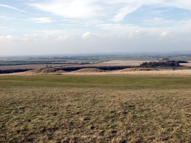
Limlow Hill is a prominent geographical feature located in Cambridgeshire, England. Despite being referred to as a hill, it is more accurately described as a gentle rise in the landscape rather than a true mountainous formation. Situated in the southeastern region of the county, Limlow Hill is part of the wider undulating terrain that characterizes this area.
With an elevation of approximately 40 meters (131 feet), Limlow Hill offers picturesque views of the surrounding Cambridgeshire countryside. The hill is covered in lush green vegetation, primarily consisting of grasses and small shrubs. The slopes are gentle and easily accessible, making it a popular spot for leisurely walks and picnics.
Limlow Hill forms part of a network of rolling hills and ridges that stretch across the region, creating a diverse landscape of agricultural fields, meadows, and woodlands. The area surrounding the hill is predominantly rural, with scattered farms and small villages dotting the countryside.
The hill's location also provides an ideal vantage point for birdwatching enthusiasts, as it offers an unobstructed view of the sky and the chance to spot a variety of bird species. Additionally, the hill is home to a range of wildlife, including rabbits, foxes, and various species of birds and insects.
Overall, Limlow Hill is a beautiful and tranquil location, offering visitors a chance to immerse themselves in the natural beauty of the Cambridgeshire countryside and enjoy the peacefulness of the surrounding landscape.
If you have any feedback on the listing, please let us know in the comments section below.
Limlow Hill Images
Images are sourced within 2km of 52.058487/-0.072268043 or Grid Reference TL3241. Thanks to Geograph Open Source API. All images are credited.


Limlow Hill is located at Grid Ref: TL3241 (Lat: 52.058487, Lng: -0.072268043)
Administrative County: Cambridgeshire
District: South Cambridgeshire
Police Authority: Cambridgeshire
What 3 Words
///hydration.strike.unhappily. Near Bassingbourn, Cambridgeshire
Nearby Locations
Related Wikis

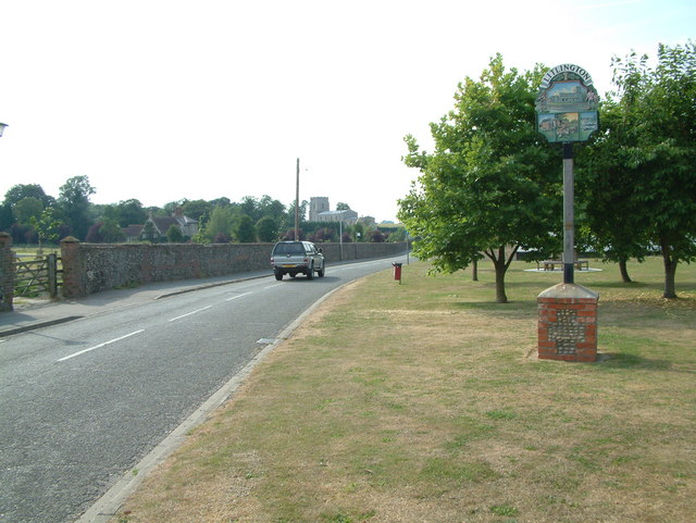
Litlington, Cambridgeshire
Litlington is a village and civil parish in the East of England region and the county of Cambridgeshire in the United Kingdom. The village lies approximately...

Ford Wood
Ford Wood is a woodland in Cambridgeshire, England, near Bassingbourn. It covers a total area of 2.34 hectares (5.78 acres). It is owned and managed by...
Bassingbourn Village College
Bassingbourn Village College is an academy school in Bassingbourn, just across the Cambridgeshire border from Royston, Hertfordshire. It currently has...
Therfield Heath
Therfield Heath is a biological Site of Special Scientific Interest and Local Nature Reserve on the chalk escarpment just north of Therfield, Hertfordshire...
Bassingbourn cum Kneesworth
Bassingbourn cum Kneesworth is a civil parish in the South Cambridgeshire district of Cambridgeshire, England, 14 miles south-west of Cambridge and just...

Fox Covert
Fox Covert is a 2.9-hectare (7.2-acre) nature reserve near Royston in North Hertfordshire. It is owned and managed by the Herts and Middlesex Wildlife...
Cambridge line
The Cambridge line runs from Cambridge junction north of Hitchin on the East Coast Main Line to Shepreth Branch Junction south of Cambridge on the West...
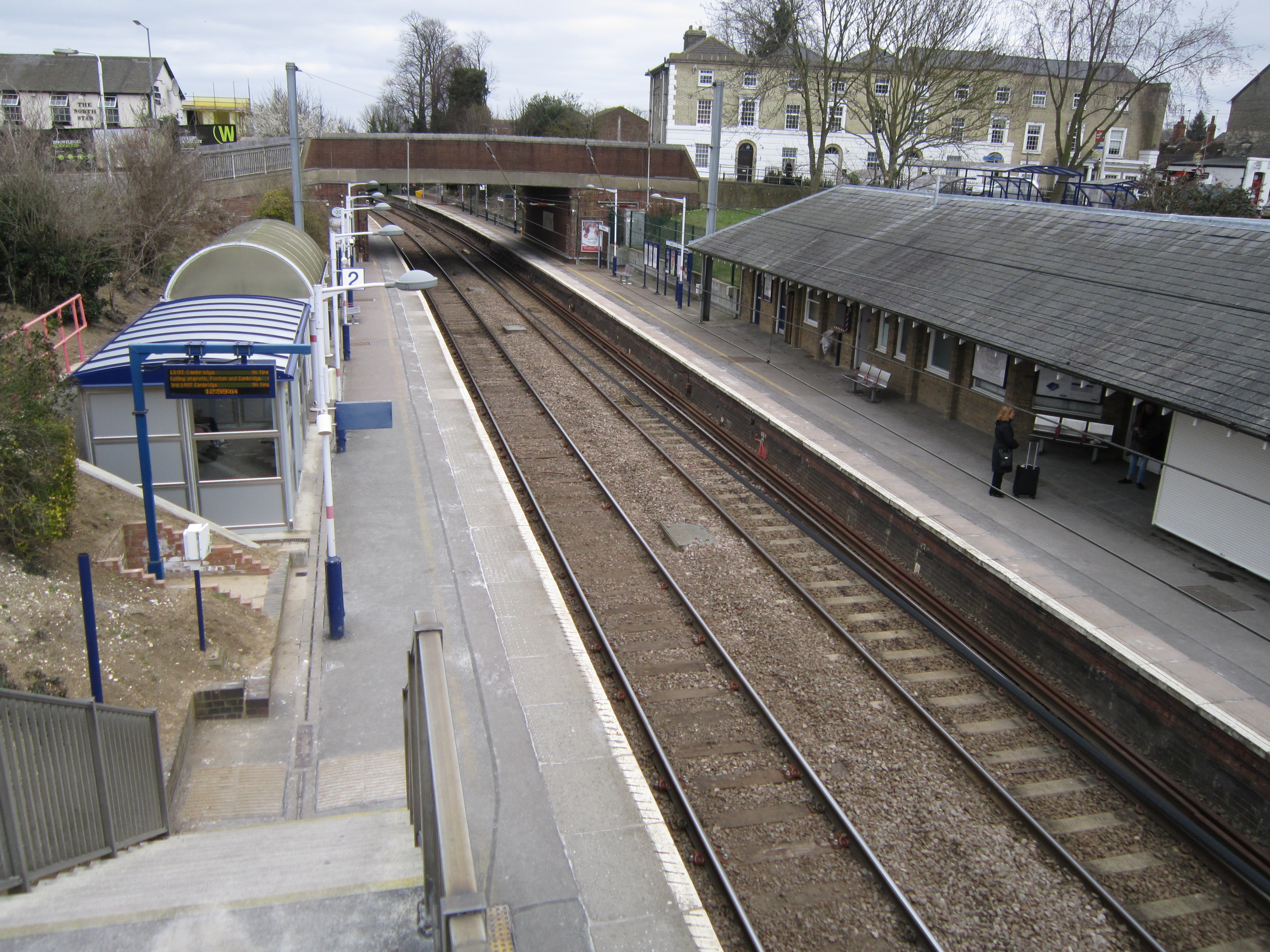
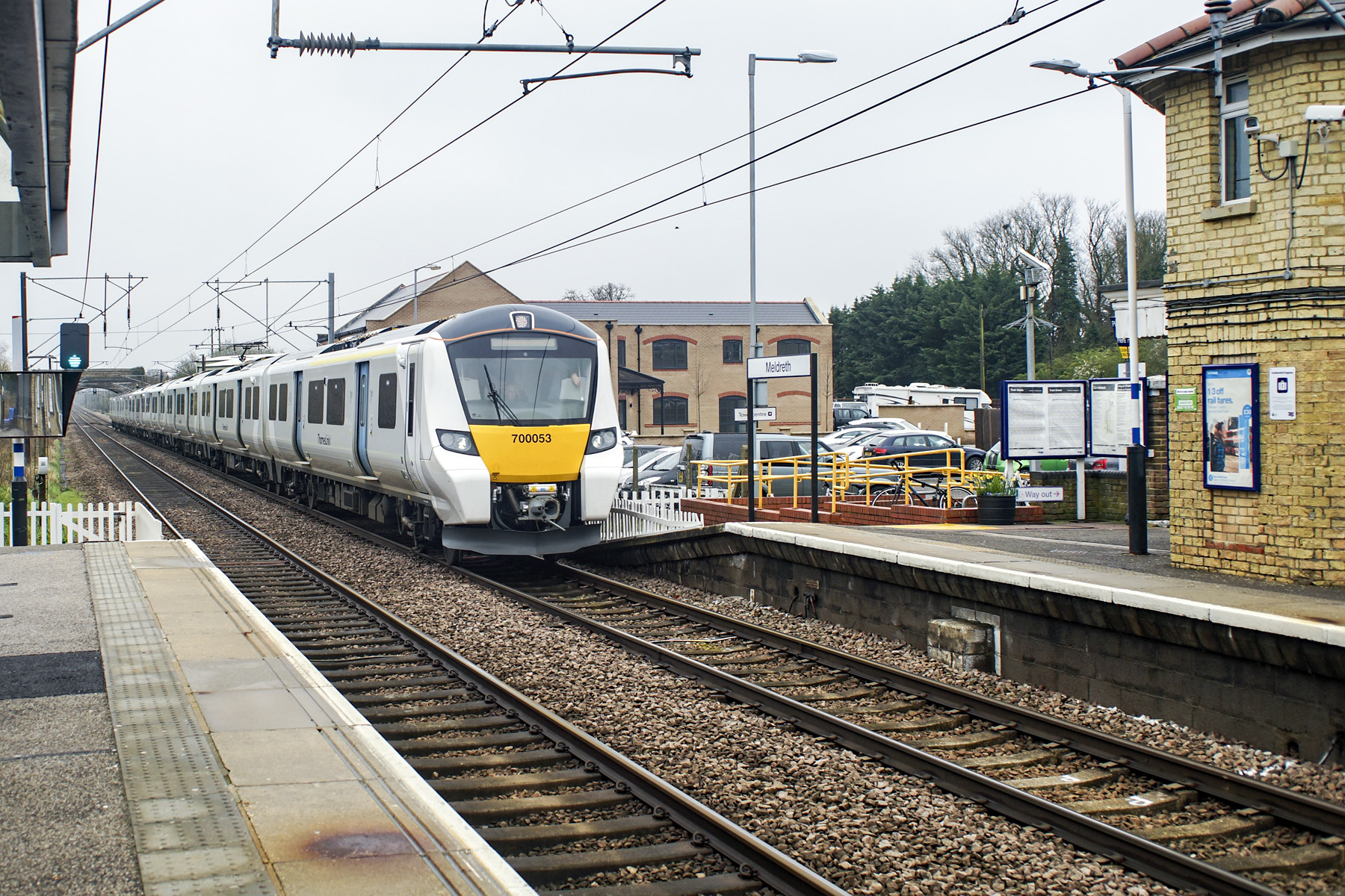
Royston railway station
Royston railway station serves the town of Royston in Hertfordshire, England. The station is 44 miles 72 chains (72.3 km) from London Kings Cross on the...
Nearby Amenities
Located within 500m of 52.058487,-0.072268043Have you been to Limlow Hill?
Leave your review of Limlow Hill below (or comments, questions and feedback).