Bower Hill
Hill, Mountain in Surrey Tandridge
England
Bower Hill

Bower Hill is a prominent hill located in the countryside of Surrey, England. It is a part of the North Downs, which is a range of chalk hills spanning across Surrey and Kent. Rising to an elevation of approximately 230 meters (750 feet) above sea level, Bower Hill offers breathtaking panoramic views of the surrounding landscape.
Situated near the village of Box Hill, Bower Hill is a popular destination for outdoor enthusiasts and nature lovers. It is known for its diverse flora and fauna, with a variety of wildflowers, birds, and butterflies populating the area. The hill is also home to ancient woodlands, adding to its natural beauty.
The hill is easily accessible, with several walking trails and footpaths leading to its summit. These paths provide opportunities for visitors to explore the area and enjoy the tranquility of the countryside. The summit of Bower Hill offers magnificent vistas of the rolling hills, meadows, and woodlands that characterize the Surrey countryside.
In addition to its natural attractions, Bower Hill also holds historical significance. It is believed to have been an important location during Roman times, as evidenced by the presence of archaeological remains. The hill has also been mentioned in various historical documents and maps dating back centuries.
Overall, Bower Hill in Surrey is a picturesque and historically significant landmark that attracts visitors with its natural beauty, scenic views, and tranquil atmosphere.
If you have any feedback on the listing, please let us know in the comments section below.
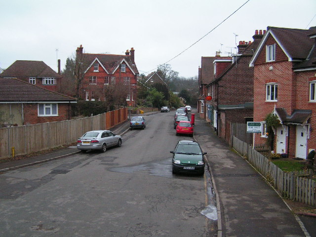
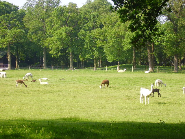
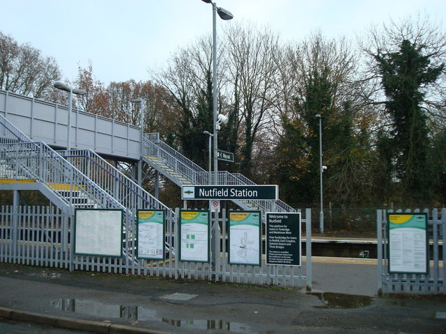
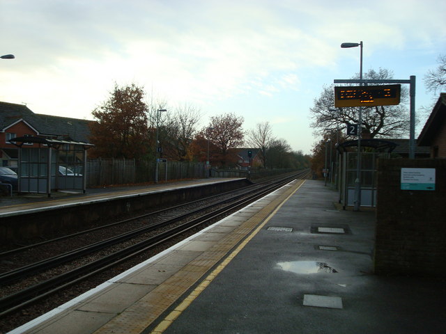
Bower Hill Images
Images are sourced within 2km of 51.232118/-0.13705775 or Grid Reference TQ3049. Thanks to Geograph Open Source API. All images are credited.


Bower Hill is located at Grid Ref: TQ3049 (Lat: 51.232118, Lng: -0.13705775)
Administrative County: Surrey
District: Tandridge
Police Authority: Surrey
What 3 Words
///public.lied.wiring. Near Bletchingley, Surrey
Nearby Locations
Related Wikis

Nutfield Priory
Nutfield Priory is a Grade II listed country house in Nutfield, Surrey. It was constructed between 1872 and 1874 by John Gibson. It is now a hotel and...
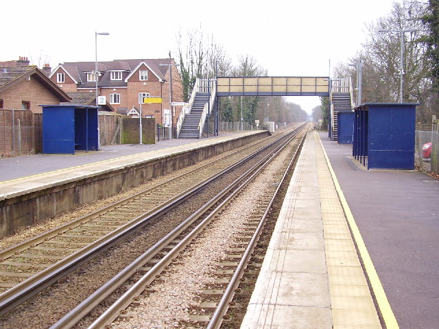
Nutfield railway station
Nutfield railway station is on the Redhill to Tonbridge Line and serves Nutfield, Surrey, England. It is about a mile south of Nutfield itself, located...

Nutfield, Surrey
Nutfield is a village and civil parish in the Tandridge District of Surrey, England. It lies in the Weald immediately south of the Greensand Ridge and...

Brewing Industry Research Foundation
The Brewing Industry Research Foundation is now part of Campden BRI, a research association serving all sectors of the food and drink industry. The Brewing...
Nutfield Marshes
Nutfield Marshes is a 62-hectare (150-acre) nature reserve near Nutfield in Surrey. It is managed by the Surrey Wildlife Trust.These former sand quarries...
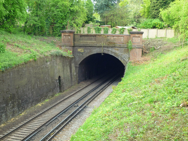
Redhill Tunnel
Redhill Tunnel is a railway tunnel passing under the eastern area of Redhill in Surrey, Great Britain. It is on the 'Quarry Line' section of the Brighton...
Carrington School
Carrington School is a coeducational secondary school located in Redhill, Surrey, England.Initially known as The Warwick School, it was founded in September...

Redhill Aerodrome
Redhill Aerodrome (ICAO: EGKR) is an operational general aviation aerodrome located 1.5 NM (2.8 km; 1.7 mi) south-east of Redhill, Surrey, England, in...
Nearby Amenities
Located within 500m of 51.232118,-0.13705775Have you been to Bower Hill?
Leave your review of Bower Hill below (or comments, questions and feedback).