Kirklees
Settlement in Lancashire
England
Kirklees

Kirklees is a metropolitan borough located in the county of West Yorkshire, England. It is situated in the picturesque Pennines, a range of hills and mountains that stretch across Northern England. The borough covers an area of approximately 157 square miles and is home to a population of around 439,000 people.
Kirklees is known for its rich history and diverse landscapes. The area is dotted with charming towns and villages, such as Huddersfield, Dewsbury, and Batley, each with its own unique character and attractions. Huddersfield, the largest town in the borough, is a vibrant cultural hub with a thriving music and arts scene.
The countryside surrounding Kirklees is a haven for nature enthusiasts, boasting picturesque valleys, woodlands, and moorlands. The Peak District National Park is within easy reach, offering stunning landscapes and ample opportunities for outdoor activities such as hiking, cycling, and birdwatching.
Kirklees is also steeped in history, with numerous historical sites and landmarks. One of the most notable is the famous Huddersfield Railway Station, a Grade I listed building renowned for its stunning Victorian architecture. Other attractions include Kirklees Hall, a beautiful 16th-century manor house, and the National Coal Mining Museum for England, which provides insight into the region's industrial heritage.
Overall, Kirklees offers a perfect blend of natural beauty, cultural heritage, and modern amenities, making it an appealing destination for both residents and visitors alike.
If you have any feedback on the listing, please let us know in the comments section below.
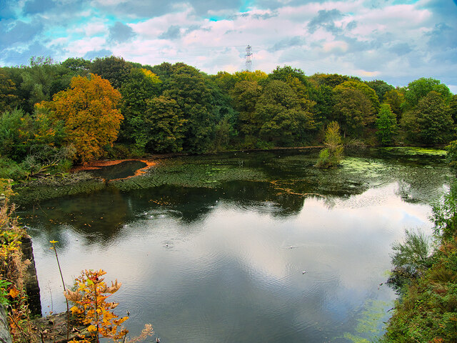
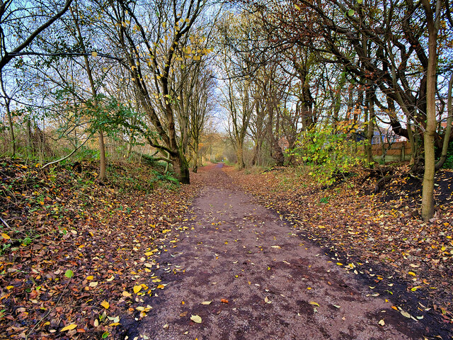
Kirklees Images
Images are sourced within 2km of 53.604095/-2.3339413 or Grid Reference SD7812. Thanks to Geograph Open Source API. All images are credited.


Kirklees is located at Grid Ref: SD7812 (Lat: 53.604095, Lng: -2.3339413)
Unitary Authority: Bury
Police Authority: Greater Manchester
What 3 Words
///ready.units.burn. Near Tottington, Manchester
Nearby Locations
Related Wikis

Walshaw
Walshaw is a village forming part of the Metropolitan Borough of Bury, in Greater Manchester, England. It’s to the south of Tottington and 2 miles northwest...
Christ Church, Walshaw
Christ Church (grid reference SD775116) is an active church in Walshaw, Greater Manchester, England, and is a Grade II* listed building. Designed in the...

Elton High School
The Elton High School is a mixed secondary school located on Walshaw Road to the north-west of Bury town centre in Greater Manchester. The Elton High School...

Bolholt
Bolholt is an area of Bury in Greater Manchester, England.
Sunny Wood Halt railway station
Sunny Wood Halt was a stopping point on the Bury to Holcombe Brook railway line from 1905 until the line closed in 1952. == History == The line from Bury...
Woolfold railway station
Woolfold railway station served the district of Woolfold in Bury from 1882 to 1952. == History == The Bury and Tottington District Railway opened from...
Tottington High School
Tottington High School is a coeducational secondary school located in Tottington, Bury, England. The school opened in 1955. Previously a community school...

Tottington, Greater Manchester
Tottington is a town in the Metropolitan Borough of Bury in Greater Manchester, England, on the edge of the West Pennine Moors.Historically in Lancashire...
Related Videos
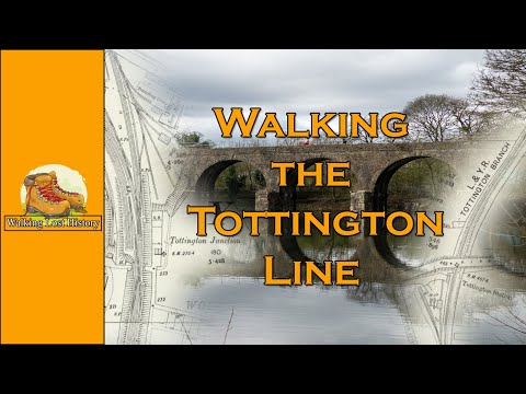
Walking the Tottington Line
In todays video we walk the now disused Tottington Branch and start our walk at Tottington Junction and head towards ...

Walking and running in Burrs Country Park
Walking to Burrs Country Park with jack Russell shih tzu cross for a summer afternoon I hope you enjoy my videos 1.like this video ...
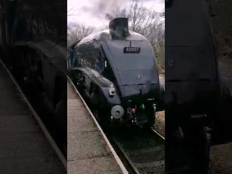
Sir Nigel Gresley Steam Train
Sir Nigel Gresley Steam Train on East Lancashire Railway #steamtrain #steam #railway #steamengine #heritagerailway #train ...
Nearby Amenities
Located within 500m of 53.604095,-2.3339413Have you been to Kirklees?
Leave your review of Kirklees below (or comments, questions and feedback).