Deadman's Hill
Hill, Mountain in Hertfordshire North Hertfordshire
England
Deadman's Hill

Deadman's Hill is a prominent feature located in Hertfordshire, England. Situated in the southeastern region of the county, this hill is part of the wider Chiltern Hills range. Rising to an elevation of approximately 267 meters (876 feet), Deadman's Hill offers breathtaking panoramic views of the surrounding countryside.
The hill derives its intriguing name from a dark legend that dates back centuries. It is said that during medieval times, criminals and wrongdoers were hanged on the hill's slopes as a form of punishment. This macabre history has contributed to the hill's notoriety and adds a sense of mystery to its otherwise picturesque setting.
Deadman's Hill is renowned for its outstanding natural beauty, attracting both locals and tourists alike. Covered in lush greenery and dotted with ancient trees, the hill offers a tranquil retreat for nature enthusiasts and hikers. The area is home to a diverse range of flora and fauna, including oak and beech trees, as well as various species of birds and small mammals.
The hill is also popular among outdoor enthusiasts who enjoy activities such as walking, jogging, and cycling. Several well-maintained trails crisscross the hill, allowing visitors to explore its scenic landscape at their own pace. Additionally, the hill's elevated position makes it a favorite spot for paragliders and hang gliders, who take advantage of the updrafts and thermals created by the surrounding valleys.
Overall, Deadman's Hill in Hertfordshire offers a unique blend of natural beauty, historical significance, and recreational opportunities, making it a must-visit destination for those seeking adventure and tranquility in equal measure.
If you have any feedback on the listing, please let us know in the comments section below.
Deadman's Hill Images
Images are sourced within 2km of 52.01679/-0.11663031 or Grid Reference TL2937. Thanks to Geograph Open Source API. All images are credited.


Deadman's Hill is located at Grid Ref: TL2937 (Lat: 52.01679, Lng: -0.11663031)
Administrative County: Hertfordshire
District: North Hertfordshire
Police Authority: Hertfordshire
What 3 Words
///movements.good.variation. Near Ashwell, Hertfordshire
Nearby Locations
Related Wikis
Odsey
Odsey is a hamlet in the civil parish of Steeple Morden, Cambridgeshire, England, close to the border with Hertfordshire. It lies just off the A505 road...

Ashwell & Morden railway station
Ashwell & Morden railway station is a wayside railway station in Cambridgeshire, England. Close to the border with the county of Hertfordshire, it is in...
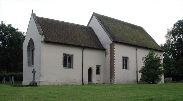
Church of St Margaret of Antioch, Bygrave
The Church of St Margaret of Antioch is the Anglican parish church for the village of Bygrave in Hertfordshire. Dedicated to St Margaret of Antioch, the...
Bygrave
Bygrave is a village and civil parish in the North Hertfordshire district of Hertfordshire, England, about 2 miles north-east of Baldock. In the 10th...

Wallington, Hertfordshire
Wallington is a small village and civil parish in the North Hertfordshire district, in the county of Hertfordshire, England, near the town of Baldock....
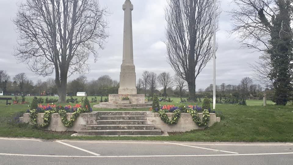
Ashwell War Memorial
Ashwell War Memorial is a war memorial cross in the village of Ashwell in North Hertfordshire, England. The memorial was designed by Sir Edwin Lutyens...
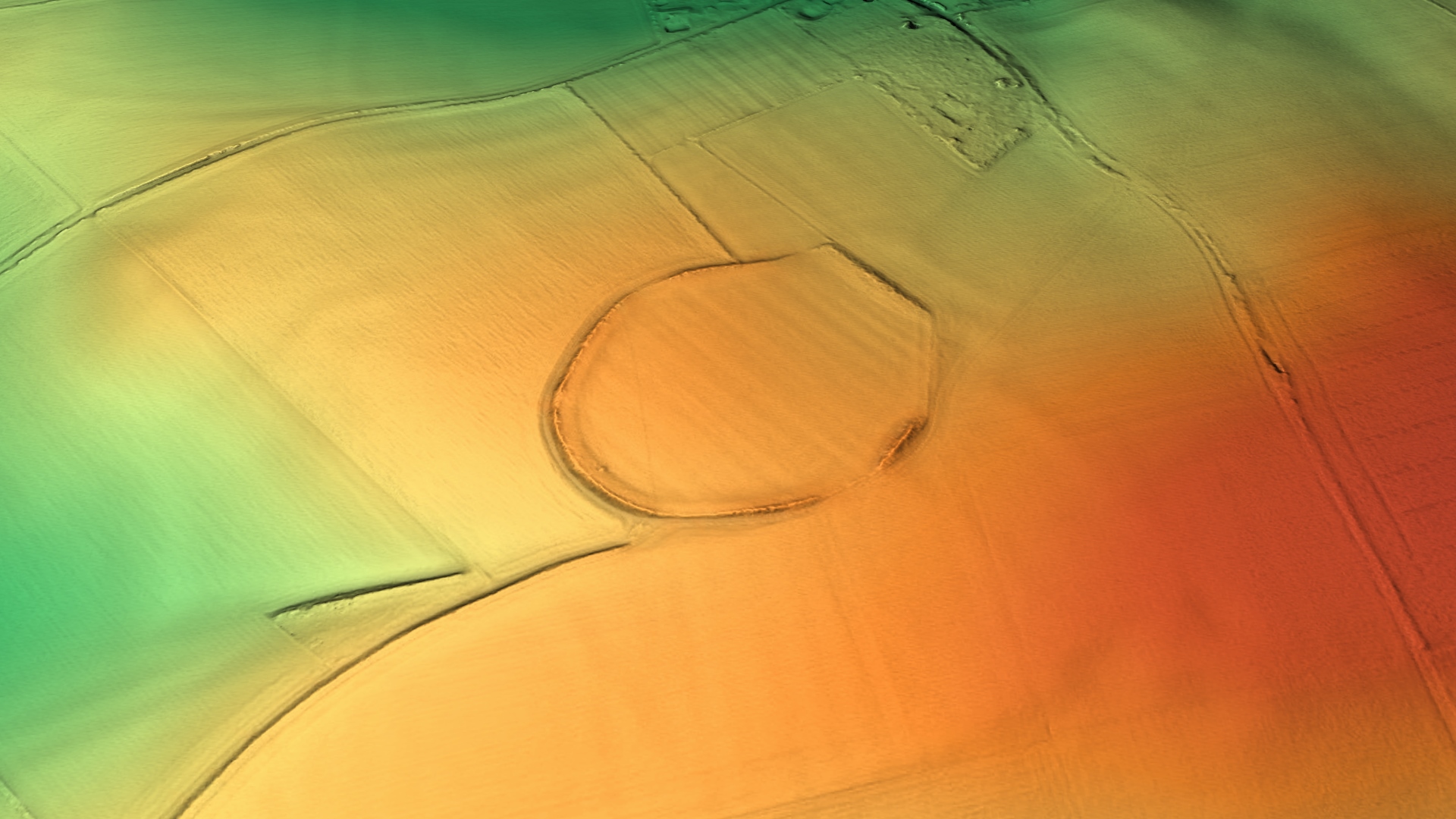
Arbury Banks, Hertfordshire
Arbury Banks is a hill fort southwest of Ashwell, Hertfordshire, England. It was probably first constructed during the late Bronze Age, 1000-700 BC. Standing...

Ashwell Springs
Ashwell Springs is a 0.3-hectare (0.74-acre) biological Site of Special Scientific Interest in Ashwell in Hertfordshire, England. The local planning authority...
Nearby Amenities
Located within 500m of 52.01679,-0.11663031Have you been to Deadman's Hill?
Leave your review of Deadman's Hill below (or comments, questions and feedback).