Barvin Hill

Hill, Mountain in Middlesex Welwyn Hatfield

England

Barvin Hill

Church of St Thomas A Becket, Northaw It's there if you look closely
Church of St Thomas A Becket, Northaw Credit: David Howard

Barvin Hill is a prominent hill located in Middlesex County, England. Situated in the southern part of the county, Barvin Hill stands at an impressive elevation of 487 feet (148 meters) above sea level, making it one of the notable landmarks in the region. The hill is part of the Chiltern Hills, a range of chalk hills stretching across several counties in southern England.

Covered in lush greenery, Barvin Hill offers breathtaking panoramic views of the surrounding countryside. Its slopes are adorned with a variety of trees, including beech, oak, and birch, which create a vibrant and picturesque landscape throughout the year. The hill is also home to diverse flora and fauna, making it a popular spot for nature enthusiasts and hikers.

At the summit of Barvin Hill, visitors are rewarded with stunning vistas spanning across Middlesex and the neighboring counties. On clear days, it is even possible to see the distant skyline of London. This scenic viewpoint has made Barvin Hill a sought-after destination for photographers and those seeking a tranquil escape from the bustling city life.

Adding to its allure, Barvin Hill is surrounded by charming villages and towns, offering visitors the opportunity to explore the local culture and history. The hill is easily accessible by foot or by car, with well-maintained paths and trails leading to its summit.

Overall, Barvin Hill is a natural gem in Middlesex, offering a peaceful retreat and an opportunity to immerse oneself in the beauty of the English countryside.

If you have any feedback on the listing, please let us know in the comments section below.
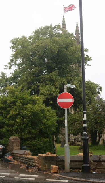
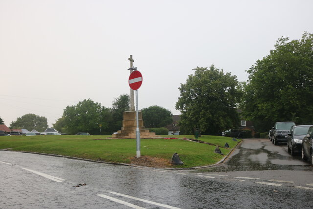
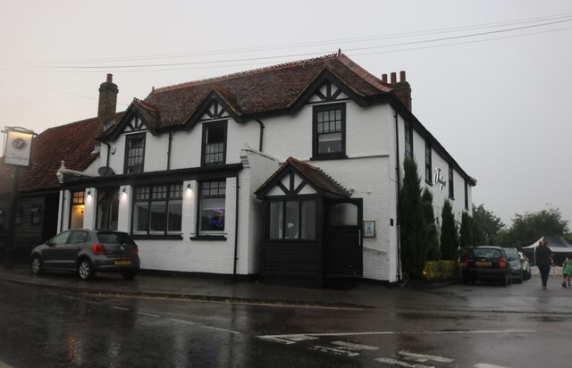
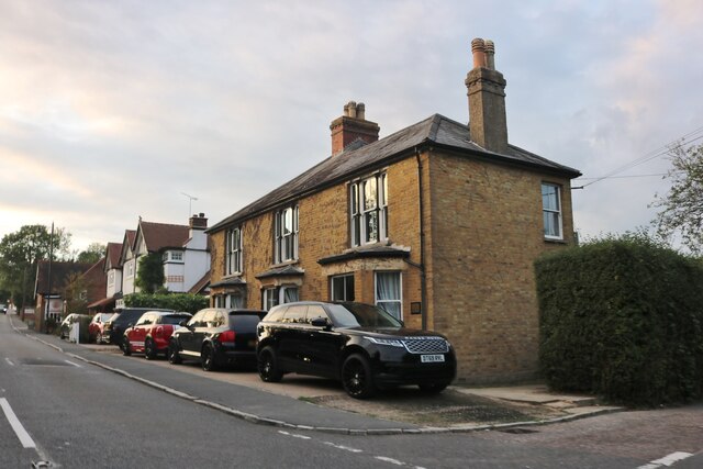
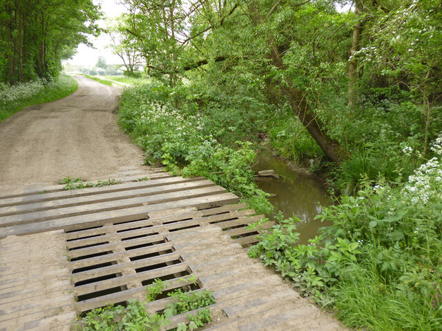
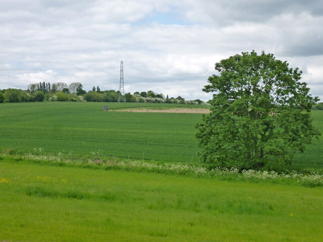
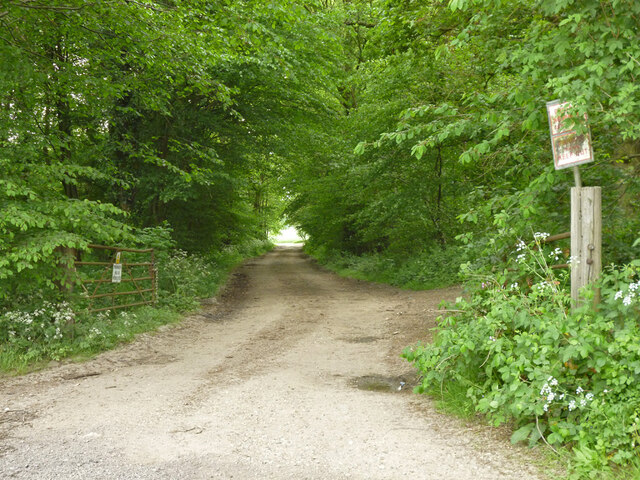
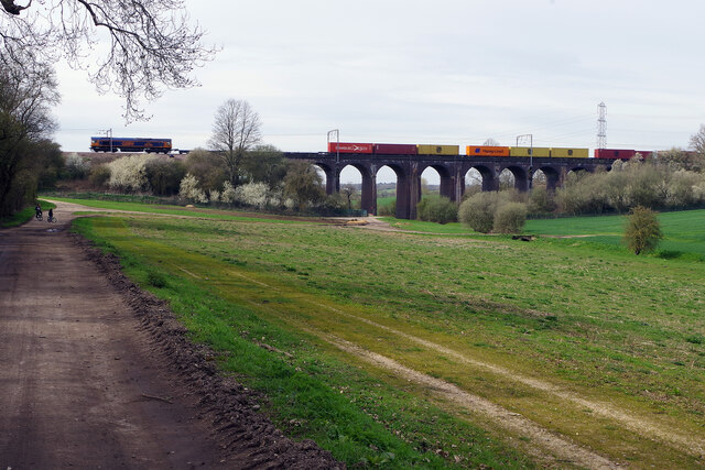
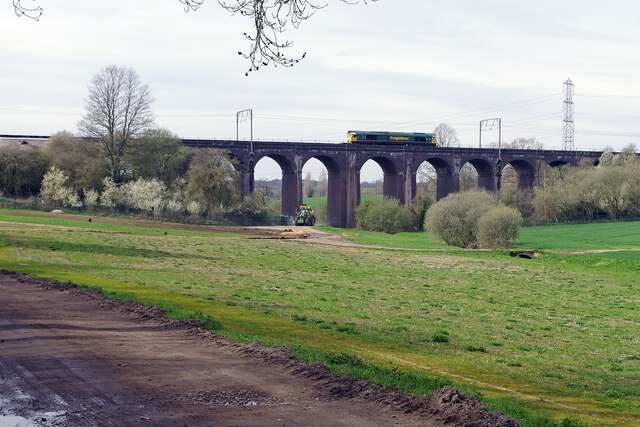
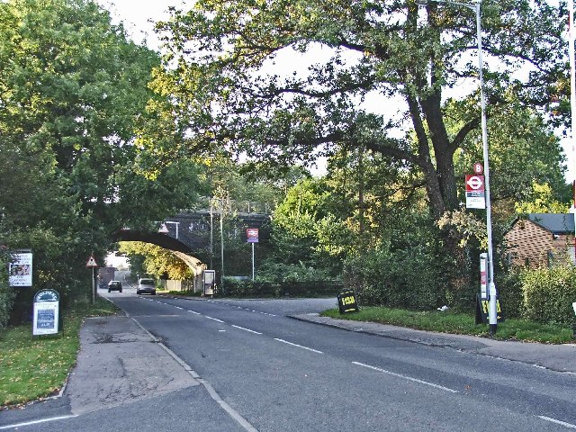
Barvin Hill Images

Images are sourced within 2km of 51.692221/-0.13294107 or Grid Reference TL2900. Thanks to Geograph Open Source API. All images are credited.

Church of St Thomas A Becket, Northaw It's there if you look closely
Church of St Thomas A Becket, Northaw
It's there if you look closely
Northaw Green and memorial
Judge's pub, Northaw Finally fully open after the lockdowns
Judge's pub, Northaw
Finally fully open after the lockdowns
Northaw Road West
Northaw Road West
Clockwise M25, Enfield Officially named the London Orbital and frequently derided as nothing more than a very big car park, the M25 is a 117-mile orbital motorway that encircles London; one of the world's biggest ring roads (Europe's second longest orbital road after the Berliner Ring, which is 122 miles). It is not, however, a continuous loop of motorway as the Dartford Crossing section (comprising the Dartford Tunnels and the Queen Elizabeth II Bridge) over the Thames and its approach roads are designated as the A282. 

Constructed between 1975 and 1986, the M25 is reputedly the most expensive motorway Britain ever built, costing a total of £909m or roughly £7.5m per mile, but at the time of its planning, the demand for the road was considerably underestimated so that when it was finally completed in 1986, it was already out of date. Demand outstripped capacity within a few years and ever since then it's been very heavily congested. 

The M25 is one of the UK’s busiest motorways, carrying up to 200,000 vehicles and 10,000 HGVs per day (AADT - Annual Average Daily Traffic flow) on the section near to Heathrow Airport. Since its opening in the 1980s, the southern, western and eastern sections have been widened to largely dual four lane (D4M) standard, but much of the motorway retains its dual three lane road (D3M) cross-section as originally built. 

The M25 was home to England's first Variable Speed Limits on motorways between the A3 and M4 in the early 1990s.

<span class="nowrap"><a title="http://www.cbrd.co.uk/motorway/m25/" rel="nofollow ugc noopener" href="http://www.cbrd.co.uk/motorway/m25/">Link</a><img style="margin-left:2px;" alt="External link" title="External link - shift click to open in new window" src="https://s1.geograph.org.uk/img/external.png" width="10" height="10"/></span>  cbrd
<span class="nowrap"><a title="http://www.sabre-roads.org.uk/wiki/index.php?title=M25" rel="nofollow ugc noopener" href="http://www.sabre-roads.org.uk/wiki/index.php?title=M25">Link</a><img style="margin-left:2px;" alt="External link" title="External link - shift click to open in new window" src="https://s1.geograph.org.uk/img/external.png" width="10" height="10"/></span>  SABRE
Clockwise M25, Enfield
Officially named the London Orbital and frequently derided as nothing more than a very big car park, the M25 is a 117-mile orbital motorway that encircles London; one of the world's biggest ring roads (Europe's second longest orbital road after the Berliner Ring, which is 122 miles). It is not, however, a continuous loop of motorway as the Dartford Crossing section (comprising the Dartford Tunnels and the Queen Elizabeth II Bridge) over the Thames and its approach roads are designated as the A282. Constructed between 1975 and 1986, the M25 is reputedly the most expensive motorway Britain ever built, costing a total of £909m or roughly £7.5m per mile, but at the time of its planning, the demand for the road was considerably underestimated so that when it was finally completed in 1986, it was already out of date. Demand outstripped capacity within a few years and ever since then it's been very heavily congested. The M25 is one of the UK’s busiest motorways, carrying up to 200,000 vehicles and 10,000 HGVs per day (AADT - Annual Average Daily Traffic flow) on the section near to Heathrow Airport. Since its opening in the 1980s, the southern, western and eastern sections have been widened to largely dual four lane (D4M) standard, but much of the motorway retains its dual three lane road (D3M) cross-section as originally built. The M25 was home to England's first Variable Speed Limits on motorways between the A3 and M4 in the early 1990s. LinkExternal link cbrd LinkExternal link SABRE
Bridge over Cuffley Brook A curious structure, looking like a cattle grid was incorporated in the bridge, and then there was a partial change of heart. Public footpath Cheshunt 59 crosses.
Bridge over Cuffley Brook
A curious structure, looking like a cattle grid was incorporated in the bridge, and then there was a partial change of heart. Public footpath Cheshunt 59 crosses.
Farmland north of Northaw Brook
Private track through Nursery Plantation
Track under the railway south of Cuffley The Hertford Loop railway is carried high on an embankment here just north of Soper's Viaduct. The track under the bridge is a public footpath, part of the Hertfordshire Way. The security fencing is a necessary evil unfortunately.
Track under the railway south of Cuffley
The Hertford Loop railway is carried high on an embankment here just north of Soper's Viaduct. The track under the bridge is a public footpath, part of the Hertfordshire Way. The security fencing is a necessary evil unfortunately.
Soper's Viaduct Soper's Viaduct (or Soper's Farm Viaduct) carries the Hertford Loop over the Northaw Brook. The railway was built between 1906 and 1910 when the Great Northern Railway extended its Enfield branch to Cuffley; some years later it was continued to Stevenage but that section did not get passenger trains until 1924. The line crosses the grain of the land and required the construction of two viaducts and a long tunnel.
Soper's Viaduct
Soper's Viaduct (or Soper's Farm Viaduct) carries the Hertford Loop over the Northaw Brook. The railway was built between 1906 and 1910 when the Great Northern Railway extended its Enfield branch to Cuffley; some years later it was continued to Stevenage but that section did not get passenger trains until 1924. The line crosses the grain of the land and required the construction of two viaducts and a long tunnel.
Soper's Viaduct Soper's (or Soper's Farm) Viaduct is crossed by a southbound multimodal freight service from Rotherham to London Gateway. Using this route, called the Hertford Loop, avoids the Digswell Viaduct bottleneck on the East Coast Main Line.
Soper's Viaduct
Soper's (or Soper's Farm) Viaduct is crossed by a southbound multimodal freight service from Rotherham to London Gateway. Using this route, called the Hertford Loop, avoids the Digswell Viaduct bottleneck on the East Coast Main Line.
Soper's Viaduct Soper's (or Soper's Farm) Viaduct is crossed by a northbound multimodal freight service from London Gateway to Leeds - there were containers on the train but not on the first few wagons behind the locomotive that can be seen here. Using this route, called the Hertford Loop, avoids the Digswell Viaduct bottleneck on the East Coast Main Line.
Soper's Viaduct
Soper's (or Soper's Farm) Viaduct is crossed by a northbound multimodal freight service from London Gateway to Leeds - there were containers on the train but not on the first few wagons behind the locomotive that can be seen here. Using this route, called the Hertford Loop, avoids the Digswell Viaduct bottleneck on the East Coast Main Line.
Nursery Plantation The almost illegible notices warn that this track is private: 'no public right of way' and 'please keep out'.
Nursery Plantation
The almost illegible notices warn that this track is private: 'no public right of way' and 'please keep out'.
Crews Hill Golf Club The large clubhouse proudly announces that Crews Hill Golf Club was founded in 1916, although the website gives a date of 1920. In fact, it seems that relatively little is known about the early years of the club although the land was initially leased from Trinity College, Cambridge and Harry Shapland Colt, a renowned golf architect at the time, was appointed to design the course. This must have been a significant undertaking at the time of the First World War when no mechanical equipment was available. The course was completed in 1922 and remains substantially the same today; it claims to be 'ranked one of the top 10 courses in Middlesex'.
Crews Hill Golf Club
The large clubhouse proudly announces that Crews Hill Golf Club was founded in 1916, although the website gives a date of 1920. In fact, it seems that relatively little is known about the early years of the club although the land was initially leased from Trinity College, Cambridge and Harry Shapland Colt, a renowned golf architect at the time, was appointed to design the course. This must have been a significant undertaking at the time of the First World War when no mechanical equipment was available. The course was completed in 1922 and remains substantially the same today; it claims to be 'ranked one of the top 10 courses in Middlesex'.
Crews Hill Golf Course Public footpaths crossing golf courses are not unusual and, however inconvenient the club may find them, the right of walkers to use them has to be respected. There are normally warning signs to watch out for flying golf balls and listen for shouts of 'fore'. This path is actually the beginning of the Hertfordshire Chain Walk which eventually leads to Ashwell & Morden station in the north of the county via a somewhat roundabout route. This stretch is in the London Borough of Enfield, however, part of the old county of Middlesex, and has never been in Hertfordshire.
Crews Hill Golf Course
Public footpaths crossing golf courses are not unusual and, however inconvenient the club may find them, the right of walkers to use them has to be respected. There are normally warning signs to watch out for flying golf balls and listen for shouts of 'fore'. This path is actually the beginning of the Hertfordshire Chain Walk which eventually leads to Ashwell & Morden station in the north of the county via a somewhat roundabout route. This stretch is in the London Borough of Enfield, however, part of the old county of Middlesex, and has never been in Hertfordshire.
M25 crossing Cattlegate Road
Crews Hill, Enfield, looking west towards the railway bridge Crews Hill Railway Bridge with the entrance to the station on the right just past the bus stop.
Crews Hill, Enfield, looking west towards the railway bridge
Crews Hill Railway Bridge with the entrance to the station on the right just past the bus stop.
Woodhurst Farm, Cattlegate Road This shows one of the buildings at Woodhurst Farm, where horses and ponies are bred.
Woodhurst Farm, Cattlegate Road
This shows one of the buildings at Woodhurst Farm, where horses and ponies are bred.
Show me another place!

Barvin Hill is located at Grid Ref: TL2900 (Lat: 51.692221, Lng: -0.13294107)

Administrative County: Hertfordshire

District: Welwyn Hatfield

Police Authority: Hertfordshire

What 3 Words

///gross.drama.such. Near Cuffley, Hertfordshire

Nearby Locations

Barvin Hill South Hill

Related Wikis

St John's Senior School

St. John's Prep and Senior School is an English all-through school, co-educational day school near the M25 motorway in The Ridgeway, Botany Bay, Enfield...

Northaw

Northaw is a village in the Welwyn Hatfield district of Hertfordshire, England. It is part of the civil parish of Northaw and Cuffley (where at the 2011...

Northaw and Cuffley

Northaw and Cuffley is a civil parish in the Welwyn Hatfield borough of Hertfordshire, England. Located approximately 13.5 miles (21.7 km) north of central...

Botany Bay, London

Botany Bay is a hamlet in Enfield, England, on the outskirts of north London, located within the London Borough of Enfield. It has a population close to...

The Paddocks

The Paddocks, in Crews Hill, Enfield, London, is a farmhouse that is grade II* listed with Historic England. It dates from the first half of the seventeenth...

Crews Hill railway station

Crews Hill railway station serves Crews Hill in the London Borough of Enfield, north London. It is 11 miles 40 chains (11.50 miles, 18.51 km) down the...

The Chequers, Potters Bar

The Chequers was a public house which occupied a Grade II listed building in Potters Bar, England. Originally opening in the 1700s, the pub moved site...

The Dower House, Northaw

The Dower House is a Grade II* listed house in Cooper's Lane between Potters Bar and Northaw in Hertfordshire, England. It was built in 1749 and was formerly...

Nearby Amenities

Located within 500m of 51.692221,-0.13294107
Created By: YahooApplet 1.0
Lat/Long: 51.6883831/-0.1354294
Created By: YahooApplet 1.0
Lat/Long: 51.6887317/-0.1296489
Created By: YahooApplet 1.0
Lat/Long: 51.688584/-0.1296662
Created By: YahooApplet 1.0
Lat/Long: 51.6896119/-0.1342007
Created By: YahooApplet 1.0
Lat/Long: 51.6887178/-0.1311934
Created By: YahooApplet 1.0
Lat/Long: 51.6885515/-0.13394
Created By: YahooApplet 1.0
Lat/Long: 51.6883919/-0.1339186
Power: tower
Lat/Long: 51.6905701/-0.1353993
Power: tower
Lat/Long: 51.6890271/-0.1361031
Power: tower
Lat/Long: 51.6899954/-0.1329716
Power: tower
Lat/Long: 51.6925334/-0.1315712
Power: tower
Lat/Long: 51.6905275/-0.1292809
Power: tower
Lat/Long: 51.6910397/-0.1261309
Turning Circle
Lat/Long: 51.6932004/-0.1373635
Barrier: stile
Lat/Long: 51.6898579/-0.1342201
Barrier: motorcycle_barrier
Lat/Long: 51.6920463/-0.1342677
Post Box
Operator: Royal Mail
Post Box Type: lamp
Ref: EN6 68
Royal Cypher: EIIR
Royal Cypher Wikidata: Q33102113
Lat/Long: 51.6920234/-0.1379769
Emergency Bay
Lat/Long: 51.6885341/-0.1320867
Phone
Emergency: phone
Operator: National Highways
Operator Wikidata: Q5760006
Lat/Long: 51.6884186/-0.1321726
Man Made: gantry
Traffic Sign: variable_message
Variable Message Model: MS4
Lat/Long: 51.6884759/-0.1292878
Man Made: gantry
Traffic Sign: variable_message
Variable Message Model: MS4
Lat/Long: 51.6885316/-0.1350372
Barrier: motorcycle_barrier
Lat/Long: 51.6920171/-0.1343545
Barrier: horse_stile
Lat/Long: 51.6920213/-0.134379
Northaw Valley
Place: hamlet
Lat/Long: 51.6930003/-0.1375512
The data included in this document is from www.openstreetmap.org. The data is made available under ODbL.

Have you been to Barvin Hill?

Leave your review of Barvin Hill below (or comments, questions and feedback).