Hartford Hill
Hill, Mountain in Huntingdonshire Huntingdonshire
England
Hartford Hill

Hartford Hill, located in the district of Huntingdonshire in the eastern region of England, is a prominent geographical feature in the area. While it is referred to as a hill, it is important to note that it does not meet the traditional definition of a mountain, as it does not exceed the height threshold typically associated with mountains.
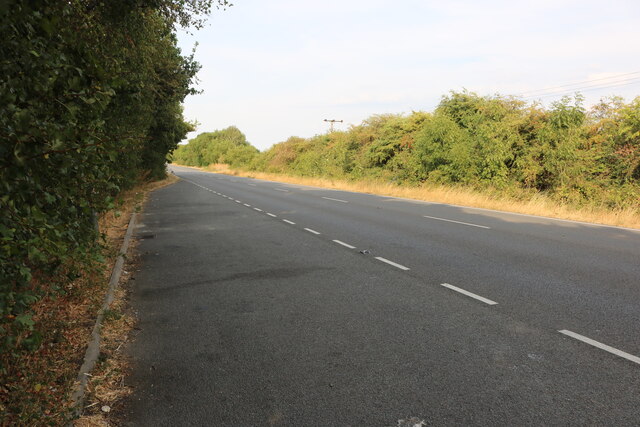
Situated near the village of Hartford, the hill offers picturesque views of the surrounding countryside, making it a popular destination for locals and tourists alike. The landscape is characterized by rolling green hills, scattered woodlands, and charming rural settlements, providing a serene and tranquil atmosphere.
Hartford Hill is accessible via several walking paths and trails that wind their way through the countryside. These routes offer an opportunity for visitors to explore the area's natural beauty while enjoying a leisurely hike. The hill's moderate elevation also makes it a suitable location for hillwalking enthusiasts, providing a slight challenge without requiring advanced mountaineering skills.
Wildlife is abundant in the area, with various bird species, small mammals, and insects inhabiting the hill and its surroundings. Nature enthusiasts can often spot animals such as deer, foxes, and rabbits as they explore the landscape.
In addition to its natural attractions, Hartford Hill is also known for its historical significance. The hill has witnessed human activity for centuries, with archaeological evidence suggesting that it was inhabited during the Iron Age. This historical resonance adds an extra layer of intrigue and fascination to the area for those interested in delving into its past.
Overall, Hartford Hill offers a delightful blend of natural beauty, recreational opportunities, and historical significance, making it a noteworthy destination for visitors and a cherished landmark for the local community.
If you have any feedback on the listing, please let us know in the comments section below.
Hartford Hill Images
Images are sourced within 2km of 52.350928/-0.13824118 or Grid Reference TL2674. Thanks to Geograph Open Source API. All images are credited.

![Roe Deer at Lodge Farm, Huntingdon An aerial view of five deer [Capreolus capreolus] grazing in a snowy stubble field. The young leafy plants could be direct drilled oil-seed rape or similar.](https://s3.geograph.org.uk/geophotos/07/37/51/7375123_77c3cd61.jpg)


Hartford Hill is located at Grid Ref: TL2674 (Lat: 52.350928, Lng: -0.13824118)
Administrative County: Cambridgeshire
District: Huntingdonshire
Police Authority: Cambridgeshire
What 3 Words
///disbanded.monopoly.overhear. Near Houghton, Cambridgeshire
Nearby Locations
Related Wikis

Wyton on the Hill
Wyton on the Hill is a village and civil parish in Cambridgeshire, England. Wyton on the Hill lies approximately 3 miles (5 km) north-east of Huntingdon...

Hartford, Cambridgeshire
Hartford is a suburb of Huntingdon and former civil parish, now in the parish of Huntingdon, in Cambridgeshire, England. Historically part of Huntingdonshire...

Huntingdon Town F.C.
Huntingdon Town Football Club is a football club based in Huntingdon, Cambridgeshire, England. They are currently members of the Spartan South Midlands...
RAF Wyton
Royal Air Force Wyton or more simply RAF Wyton (IATA: QUY, ICAO: EGUY) is a Royal Air Force station near St Ives, Cambridgeshire, England. The airfield...

Houghton, Cambridgeshire
Houghton is a village and former civil parish, now in the parish of Houghton and Wyton, in Cambridgeshire, England, approximately 3 miles (5 km) east...

Kings Ripton
Kings Ripton (traditionally King's Ripton) is a village and civil parish in Cambridgeshire, England. Kings Ripton lies approximately 3 miles (5 km) north...
Wyton, Cambridgeshire
Wyton is a village and former civil parish, now in the parish of Houghton and Wyton, in Cambridgeshire, England. It lies approximately 2 miles (3 km) east...
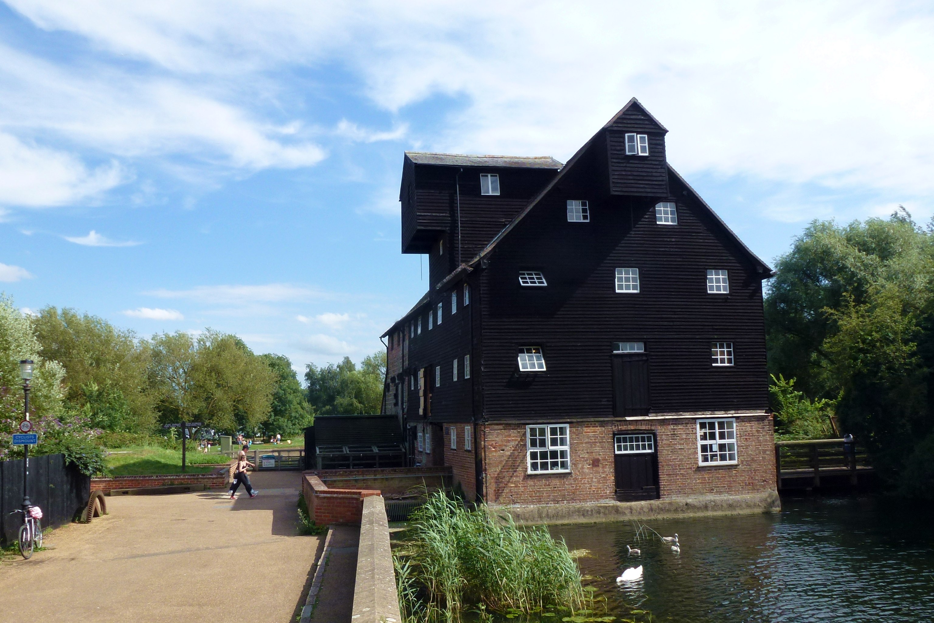
Houghton Mill
Houghton Mill is a water mill located on the Great Ouse in the village of Houghton, Cambridgeshire, England. It is a National Trust property and a Grade...
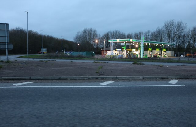
Nearby Amenities
Located within 500m of 52.350928,-0.13824118Have you been to Hartford Hill?
Leave your review of Hartford Hill below (or comments, questions and feedback).