Ash Hill

Hill, Mountain in Hertfordshire North Hertfordshire

England

Ash Hill

Ashwell Bury
Ashwell Bury Credit: Paul Shreeve

Ash Hill is a prominent geographical feature located in Hertfordshire, England. Despite its name, it is not a hill but rather a small mountain, standing at an elevation of approximately 275 meters (902 feet) above sea level. It is situated near the village of Ashwell, within the North Hertfordshire district.

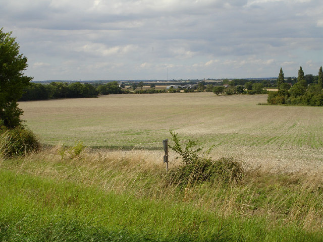
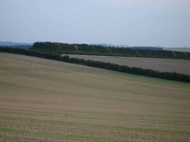
This natural landmark is part of the Chiltern Hills, a range of chalk hills that stretches across several counties in southern England. Ash Hill is characterized by its distinctive shape, with a gently sloping western side and a steeper eastern face. The summit provides breathtaking views of the surrounding countryside, including the picturesque Ashwell Springs, which is a notable source of the River Cam.

The mountain is covered by lush grasslands and dense woodlands, offering a haven for a variety of flora and fauna. It is a designated Site of Special Scientific Interest (SSSI) due to its ecological importance. Wildlife enthusiasts can spot numerous species of birds, mammals, and insects in the area, including butterflies and rare orchids.

Ash Hill has also played a significant historical role in the region. Archaeological evidence suggests that it was inhabited during the Iron Age, and remnants of ancient settlements and burial mounds have been discovered nearby. The mountain's strategic location provided a vantage point for early settlements, making it a site of historical interest.

Today, Ash Hill attracts hikers, nature lovers, and history enthusiasts alike, who come to explore its scenic trails and enjoy the tranquility of the surrounding countryside.

If you have any feedback on the listing, please let us know in the comments section below.
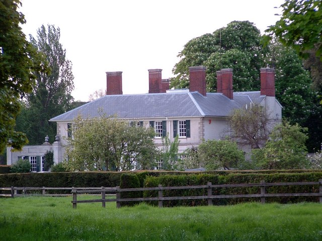
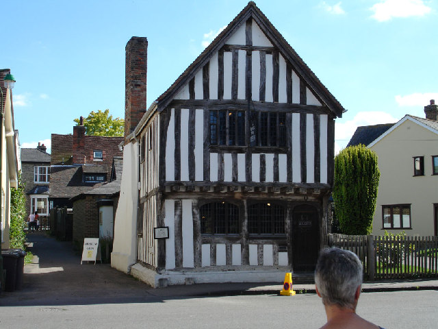
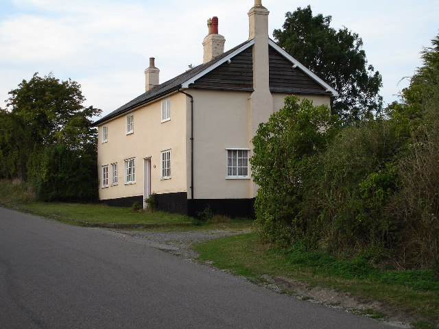
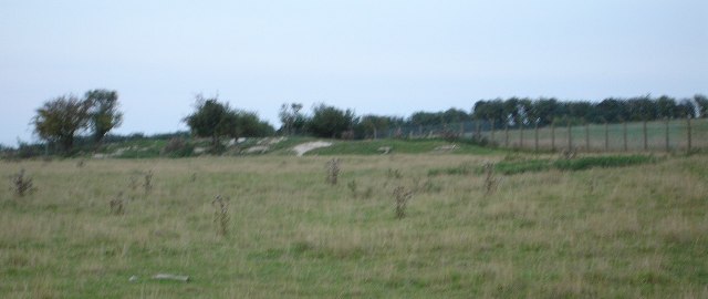
Ash Hill Images

Images are sourced within 2km of 52.029106/-0.16778975 or Grid Reference TL2538. Thanks to Geograph Open Source API. All images are credited.

Ashwell Bury
Ashwell Bury
Ashwell Museum Not so big as the Victoria and Albert I'll admit.....

The day that this photograph was taken, the Ashwell Show was on and street parking was being controlled - hence the cone.
Ashwell Museum
Not so big as the Victoria and Albert I'll admit..... The day that this photograph was taken, the Ashwell Show was on and street parking was being controlled - hence the cone.
View towards Bedfordshire from footpath to Newnham Hill In the far distance is Sandy Heath Transmitter (where The Archers are beamed to my house from).
View towards Bedfordshire from footpath to Newnham Hill
In the far distance is Sandy Heath Transmitter (where The Archers are beamed to my house from).
View from the top of Newnham Hill Newnham Hill is 85 metres above sea level but is particularly notable for its height in relation to the surrounding countryside.  In the distance is Hinxworth Church.
View from the top of Newnham Hill
Newnham Hill is 85 metres above sea level but is particularly notable for its height in relation to the surrounding countryside. In the distance is Hinxworth Church.
St Margaret of Antioch Church, Bygrave South end of the church with unusual tower.  Pretty churchyard.
St Margaret of Antioch Church, Bygrave
South end of the church with unusual tower. Pretty churchyard.
The Knoll, Bygrave to Ashwell Rd Previously known as Chalkman's Knoll.  This is the only building in the square.
The Knoll, Bygrave to Ashwell Rd
Previously known as Chalkman's Knoll. This is the only building in the square.
Arbury Banks This is a megalithic earthworks.  Lots of rabbits but not much else to see.
Arbury Banks
This is a megalithic earthworks. Lots of rabbits but not much else to see.
Ash Hill Plantation Does what it says on the tin!
Ash Hill Plantation
Does what it says on the tin!
Farm cottages Ashwell to Newnham Rd. The only cottages in the square, tucked right away in the south east corner.
Farm cottages Ashwell to Newnham Rd.
The only cottages in the square, tucked right away in the south east corner.
Houses in Newnham Nice village.
Houses in Newnham
Nice village.
View from the Icknield Way Path towards Newnham The small buildings to the right of the centre of this picture are Newnham, the trees to the left are not on the 1940's OS map but are marked as Bygrave Plantation on the modern one.  The view is typical (see TL2536, the other side of the plantation and very similar) of the area.
View from the Icknield Way Path towards Newnham
The small buildings to the right of the centre of this picture are Newnham, the trees to the left are not on the 1940's OS map but are marked as Bygrave Plantation on the modern one. The view is typical (see TL2536, the other side of the plantation and very similar) of the area.
Bygrave Plantation and Gravelpit Hill To the right is Bygrave Plantation and to the left Gravelpit Hill.  Hill?  Go on show me a hill around here!  Actually the land does fall away from this point.  The photograph is taken from just off the Icknield Way Path.
Bygrave Plantation and Gravelpit Hill
To the right is Bygrave Plantation and to the left Gravelpit Hill. Hill? Go on show me a hill around here! Actually the land does fall away from this point. The photograph is taken from just off the Icknield Way Path.
St Vincent's Church Newnham. Lovely old church at Newnham.
St Vincent's Church Newnham.
Lovely old church at Newnham.
Footpath 32 The sign says, "Footpath 32, Claybush Road"
Footpath 32
The sign says, "Footpath 32, Claybush Road"
Field and trees Taken from the Northern edge of the grid square, the expanse of open fields is evident in this area of Hertfordshire
Field and trees
Taken from the Northern edge of the grid square, the expanse of open fields is evident in this area of Hertfordshire
St Vincent, Newnham, Herts
St Vincent, Newnham, Herts - Graffiti
St Vincent, Newnham, Herts - Corbel in porch
Show me another place!

Ash Hill is located at Grid Ref: TL2538 (Lat: 52.029106, Lng: -0.16778975)

Administrative County: Hertfordshire

District: North Hertfordshire

Police Authority: Hertfordshire

What 3 Words

///splinters.keep.pairings. Near Ashwell, Hertfordshire

Nearby Locations

Newnham Hill Ash Hill

Related Wikis

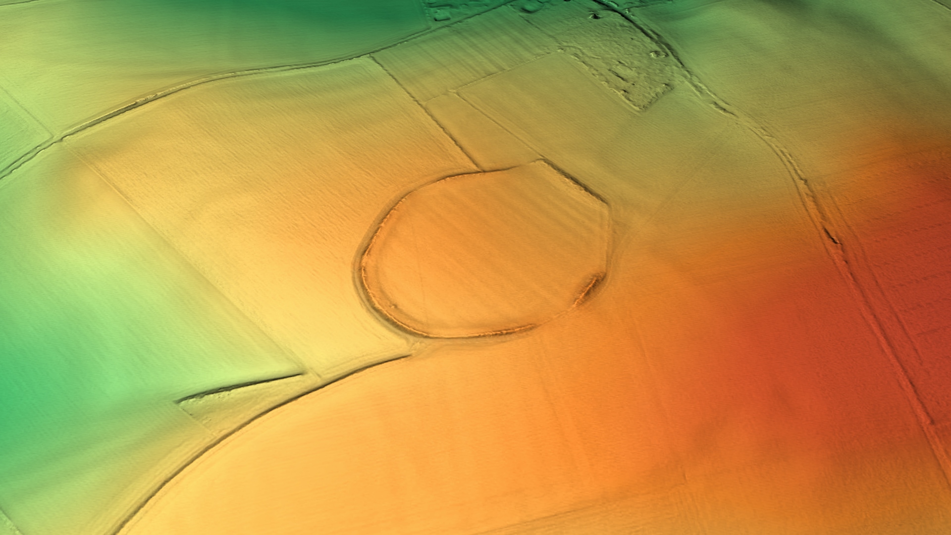
Arbury Banks, Hertfordshire

Arbury Banks is a hill fort southwest of Ashwell, Hertfordshire, England. It was probably first constructed during the late Bronze Age, 1000-700 BC. Standing...

Ashwell Quarry and Quarry Springs

Ashwell Quarry and Quarry Springs is a three hectare nature reserve managed by the Herts and Middlesex Wildlife Trust near Ashwell in Hertfordshire. Ashwell...

Newnham, Hertfordshire

Newnham is a small village and civil parish near Ashwell in the North Hertfordshire district, in the county of Hertfordshire, England. It shares a grouped...

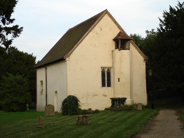
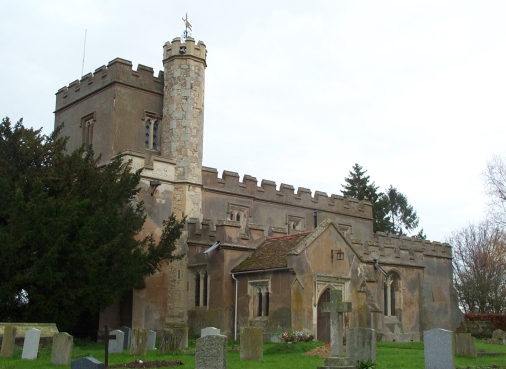
Church of St Vincent, Newnham

The Church of St Vincent in Newnham in Hertfordshire is a 12th-century Anglican parish church and a Grade II* listed building, having gained that status...

Nearby Amenities

Located within 500m of 52.029106,-0.16778975
Ash Hill
Place: locality
Lat/Long: 52.028186/-0.167918
The data included in this document is from www.openstreetmap.org. The data is made available under ODbL.

Have you been to Ash Hill?

Leave your review of Ash Hill below (or comments, questions and feedback).