Cat-Tails Hill
Hill, Mountain in Cambridgeshire South Cambridgeshire
England
Cat-Tails Hill

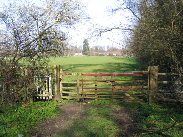
Cat-Tails Hill, located in Cambridgeshire, England, is a prominent natural feature that stands out in the otherwise flat landscape of the region. Despite its name, Cat-Tails Hill is not actually a hill or a mountain but rather a small mound that offers a gentle elevation compared to its surroundings.
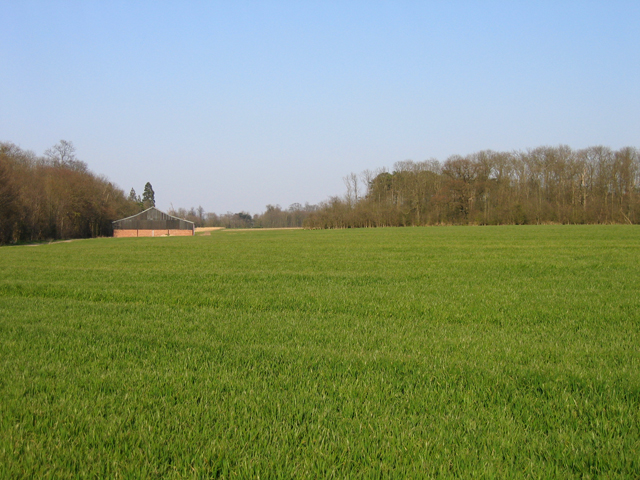
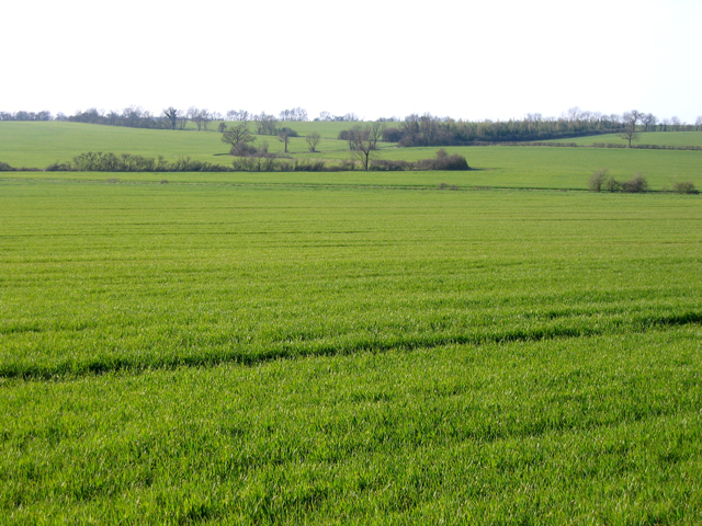
Situated near the village of Cat-Tails, this geological formation has become a popular spot for locals and visitors alike due to its unique characteristics. The hill is covered in lush green grass, making it an ideal location for picnics and leisurely walks. From the top of Cat-Tails Hill, visitors are rewarded with breathtaking panoramic views of the surrounding countryside, including the vast farmland and the meandering river that flows nearby.
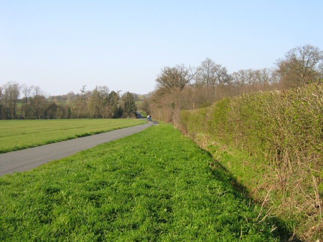
The hill is accessible via a well-maintained footpath, which makes it easily approachable for hikers and nature enthusiasts. The area around Cat-Tails Hill is rich in biodiversity, with various plant and animal species thriving in the nearby fields and hedgerows. It is not uncommon to spot rabbits, hares, or even the occasional deer during a stroll around the hill.
Cat-Tails Hill holds historical significance as well. It is believed that the mound has been a site of human activity for centuries, with archaeological evidence suggesting its use as a burial mound during the Iron Age. This historical connection adds to the intrigue of the area and attracts those interested in the region's past.
In conclusion, Cat-Tails Hill may not be a towering peak, but its gentle elevation, scenic views, and historical significance make it a charming and popular destination for nature lovers and history enthusiasts in Cambridgeshire.
If you have any feedback on the listing, please let us know in the comments section below.
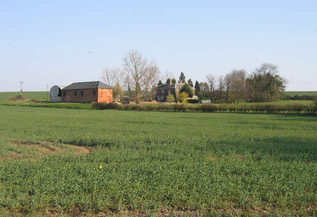
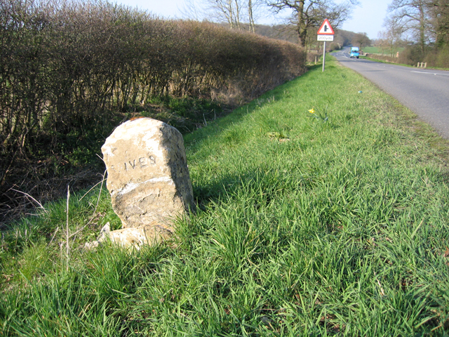
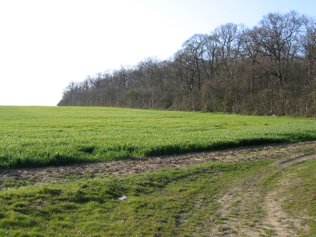
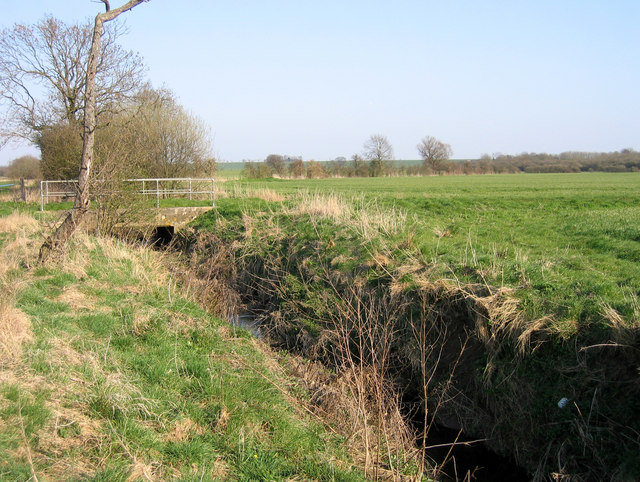
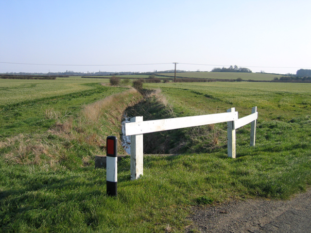
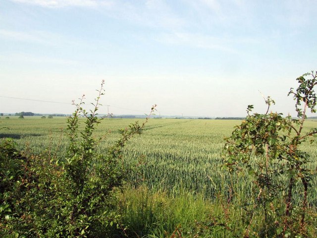
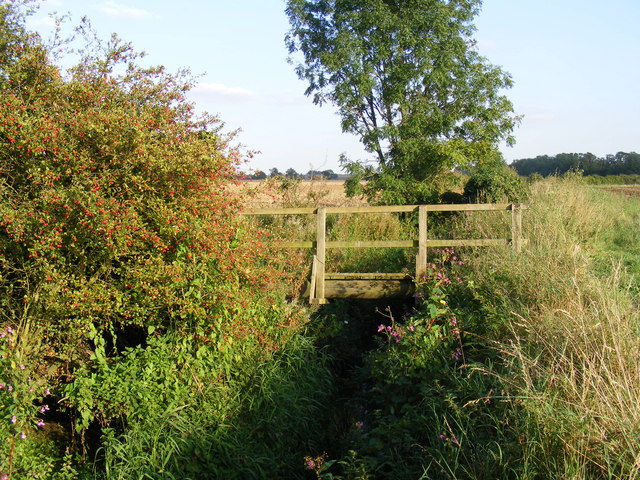
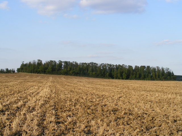
Cat-Tails Hill Images
Images are sourced within 2km of 52.203051/-0.1742823 or Grid Reference TL2457. Thanks to Geograph Open Source API. All images are credited.


Cat-Tails Hill is located at Grid Ref: TL2457 (Lat: 52.203051, Lng: -0.1742823)
Administrative County: Cambridgeshire
District: South Cambridgeshire
Police Authority: Cambridgeshire
What 3 Words
///else.landlady.ruby. Near Great Gransden, Cambridgeshire
Nearby Locations
Related Wikis

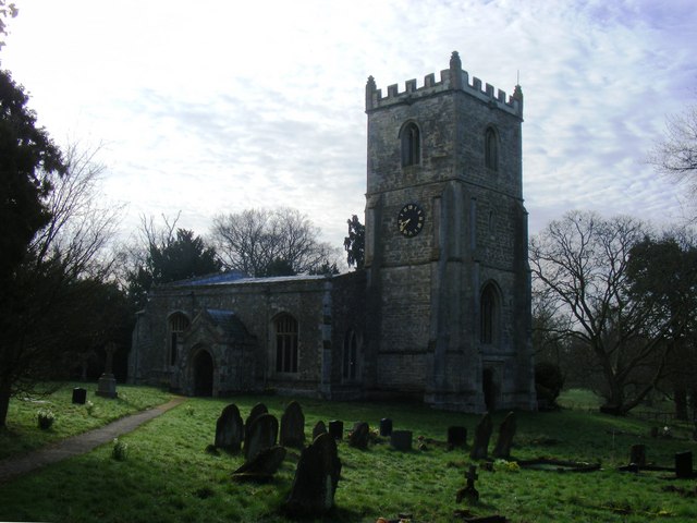
St Margaret's Church, Abbotsley
St Margaret's Church is a historic Anglican church in the village of Abbotsley, Cambridgeshire, England. It is recorded in the National Heritage List...

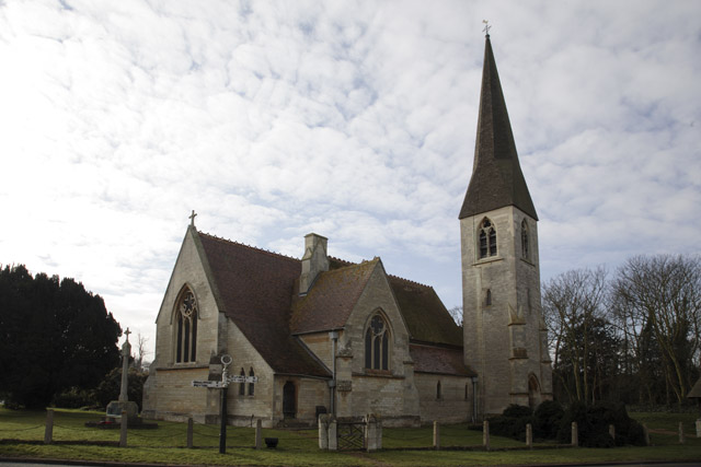
Croxton, Cambridgeshire
Croxton is a village and civil parish about 13 miles (21 km) west of Cambridge in South Cambridgeshire, England. In 2001, the resident population was 163...

Abbotsley
Abbotsley is a village and civil parish within the Huntingdonshire district of Cambridgeshire, England. It is three miles from St Neots and 14 miles from...

Great Gransden
Great Gransden is a civil parish and village in the Huntingdonshire district of Cambridgeshire, England. In 2001, the parish population was 969, which...

Eltisley
Eltisley is a village and civil parish in South Cambridgeshire, England, on the A428 road about 5.5 miles (8.9 km) east of St Neots and about 11 miles...
Waresley
Waresley is a village and former civil parish, now in the parish of Waresley-cum-Tetworth, in Cambridgeshire, England. Waresley lies approximately 11 miles...
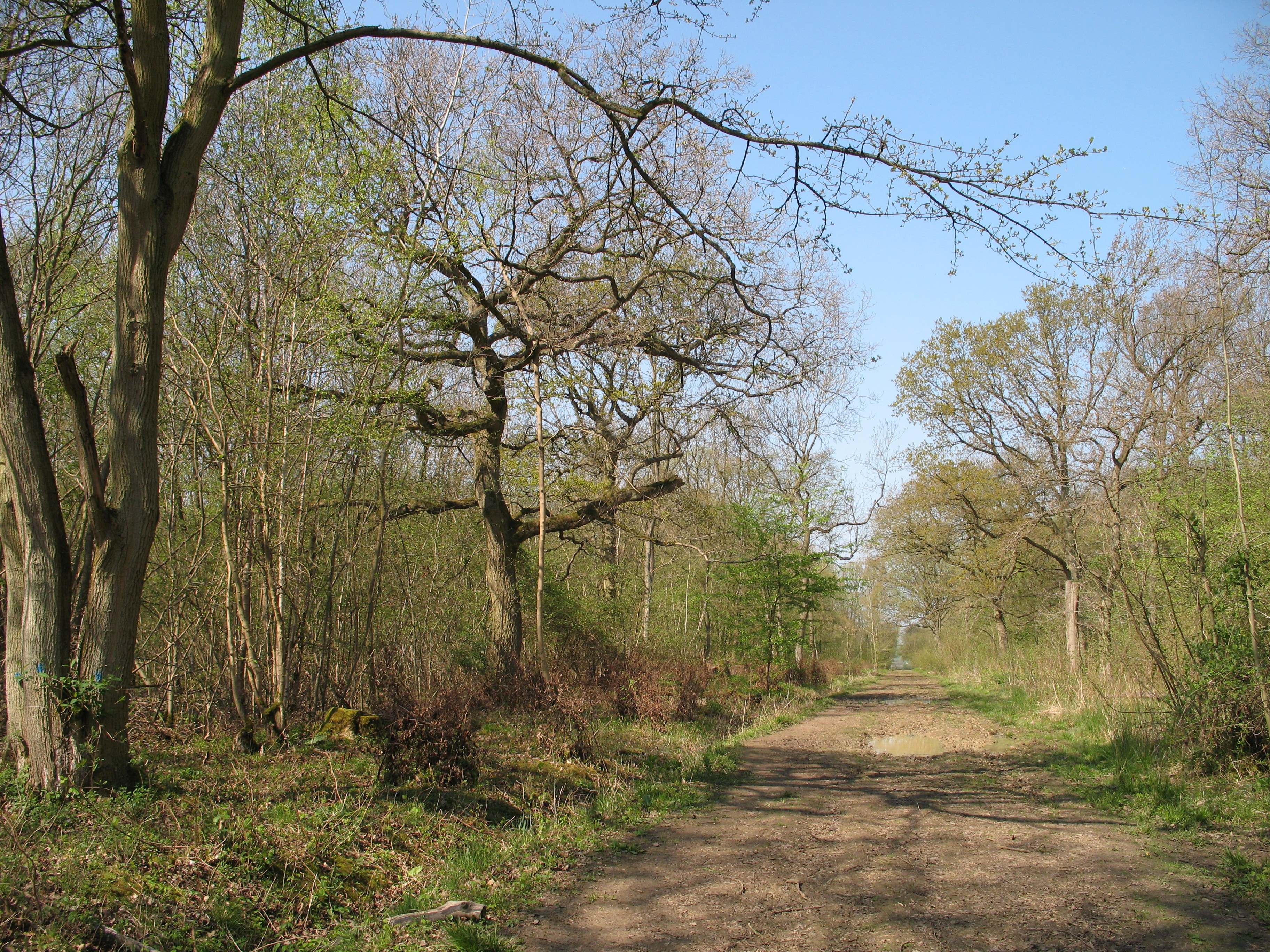
Waresley and Gransden Woods
Waresley and Gransden Woods is a 50-hectare (120-acre) nature reserve between Waresley and Great Gransden in Cambridgeshire, England. It is managed by...
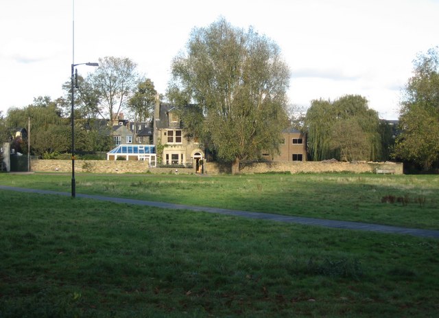
Midsummer House
Midsummer House is a restaurant located in Cambridge, Cambridgeshire, England, on the bank of the river Cam. It is a Victorian style house that was transformed...
Have you been to Cat-Tails Hill?
Leave your review of Cat-Tails Hill below (or comments, questions and feedback).