Hamshire Hill
Hill, Mountain in Sussex Horsham
England
Hamshire Hill
Hamshire Hill, located in Sussex, is a prominent geographical feature that stands tall and proud in the county. This hill, often referred to as Hamshire Mountain due to its considerable height, is a popular destination for hikers, nature enthusiasts, and tourists alike.
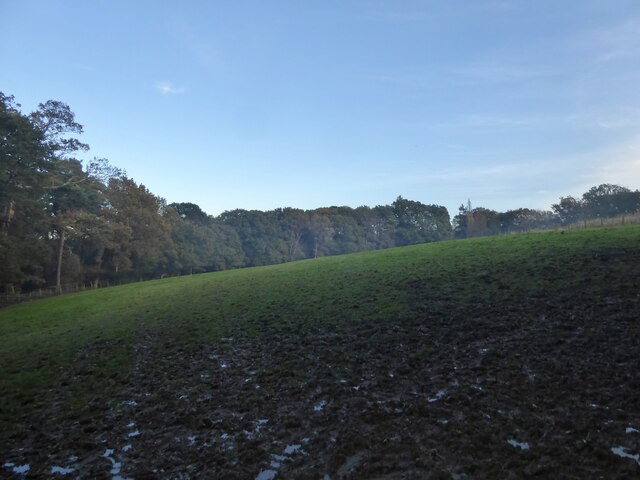
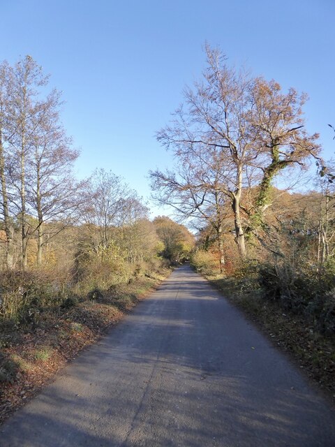
Rising to an elevation of approximately 800 meters above sea level, Hamshire Hill offers breathtaking panoramic views of the surrounding countryside. Its distinctive peak is adorned with lush green vegetation, creating a picturesque landscape that is a treat for the eyes. The hill is particularly famous for its well-maintained hiking trails, allowing visitors to explore its rugged terrain and experience the beauty of nature up close.
The flora and fauna on Hamshire Hill are incredibly diverse. Different types of trees, including oak, beech, and pine, can be found scattered across its slopes. The hill is also home to various species of wildlife, such as deer, foxes, and rabbits. Birdwatchers flock to this area to catch a glimpse of the numerous avian species that inhabit the hill, including buzzards and kestrels.
Apart from its natural beauty, Hamshire Hill holds historic significance as well. The remains of an ancient hillfort, dating back to the Iron Age, can be found on its summit. This archaeological site provides valuable insights into the region's past, attracting history buffs and archaeology enthusiasts.
Overall, Hamshire Hill in Sussex is a captivating destination that offers a blend of stunning natural landscapes, abundant wildlife, and a rich historical heritage. It is a must-visit location for those seeking both adventure and tranquility in the heart of the English countryside.
If you have any feedback on the listing, please let us know in the comments section below.
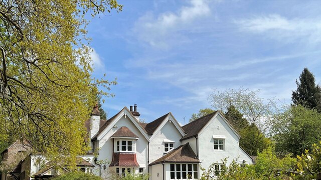
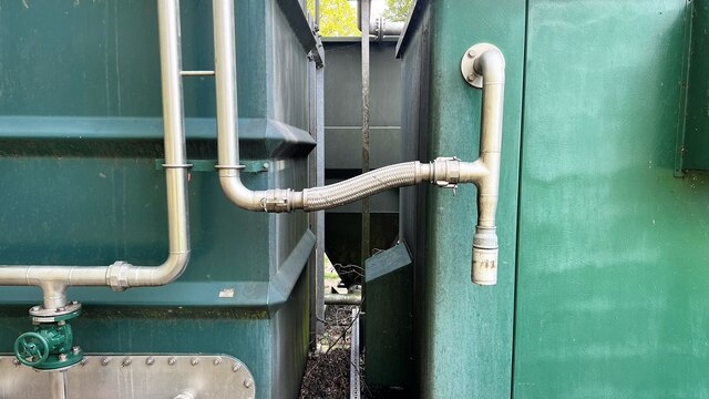
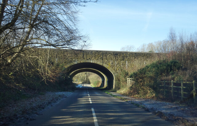
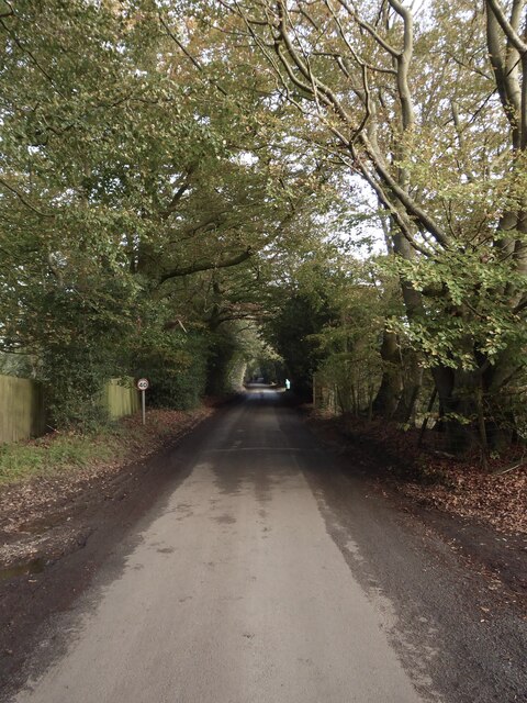
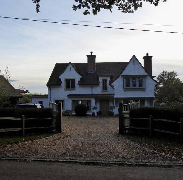
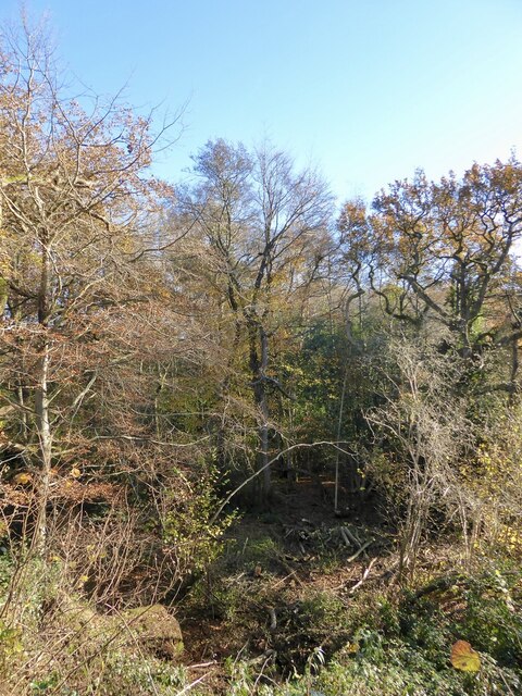
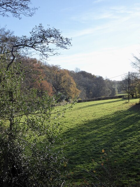
Hamshire Hill Images
Images are sourced within 2km of 51.038999/-0.22470815 or Grid Reference TQ2428. Thanks to Geograph Open Source API. All images are credited.


Hamshire Hill is located at Grid Ref: TQ2428 (Lat: 51.038999, Lng: -0.22470815)
Administrative County: West Sussex
District: Horsham
Police Authority: Sussex
What 3 Words
///arise.brightens.snug. Near Handcross, West Sussex
Related Wikis

Slaugham
Slaugham () is a village and civil parish in the Mid Sussex District of West Sussex, England. It is located 7 miles (11 km) to the south of Crawley, on...

St Mary's Church, Slaugham
St Mary's Church is an Anglican church in the village of Slaugham in Mid Sussex, one of seven local government districts in the English county of West...
Warninglid
Warninglid (historically known as Warninglyth and Warningeld) is a small village in the Mid Sussex District of West Sussex, England. It lies on the B2115...

Nymans
Nymans is an English garden to the east of the village of Handcross, and in the civil parish of Slaugham in West Sussex, England. The garden was developed...

Handcross Hill bus crash
On 12 July 1906, a bus crashed into a tree on Handcross Hill in Sussex, England, killing 10 people and injuring a further 26 in the worst road crash in...

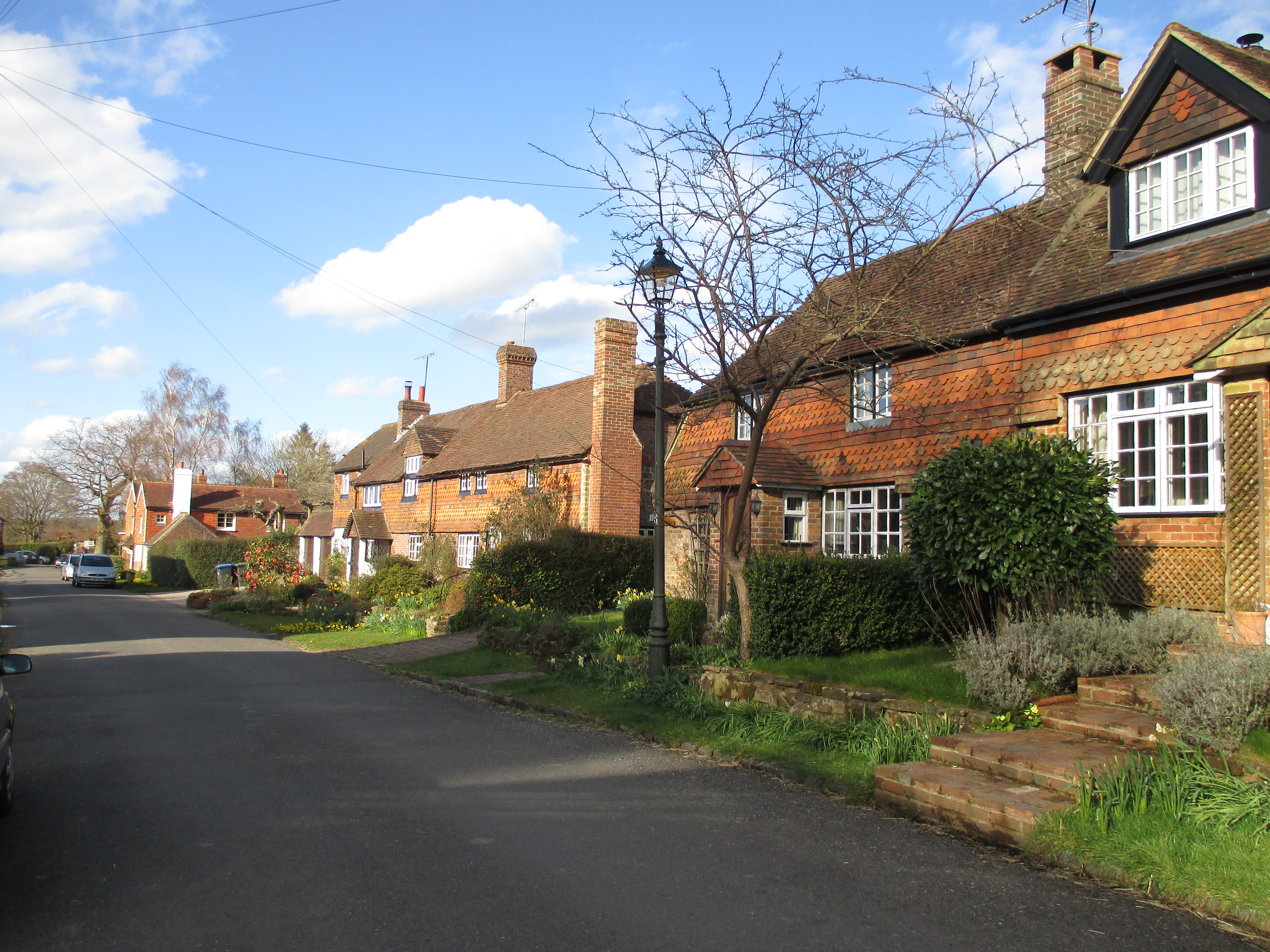
Handcross
Handcross is a village in the Mid Sussex District of West Sussex, England. It lies on the A23 road 4.2 miles (6.8 kilometres) south of Crawley. At the...

Newells Preparatory School
Newells Preparatory School came to Lower Beeding, Sussex, in 1946. It has been at Handcross and known as Handcross Park School since 1968. It merged with...

Lower Beeding
Lower Beeding is a village and civil parish in the Horsham District of West Sussex, England. The village lies on the B2110, B2115 and A281 roads 3.5 miles...
Nearby Amenities
Located within 500m of 51.038999,-0.22470815Have you been to Hamshire Hill?
Leave your review of Hamshire Hill below (or comments, questions and feedback).