Dugdale Hill
Hill, Mountain in Middlesex Hertsmere
England
Dugdale Hill
Dugdale Hill, located in Middlesex, England, is a prominent hill that offers picturesque views and a tranquil escape from the bustling city life. Situated in the northeastern part of the county, it is part of the larger landscape known as the Chiltern Hills.
With an elevation of approximately 235 meters (771 feet), Dugdale Hill stands as a notable landform in the region. It features a gentle slope and is covered in lush greenery, including grass, shrubs, and some scattered trees. The hill's natural beauty attracts locals and tourists alike, who often visit for recreational activities such as hiking, picnicking, or simply enjoying a peaceful walk in nature.
Dugdale Hill is also home to a diverse range of wildlife, including various bird species, small mammals, and insects. Nature enthusiasts can often spot rabbits, squirrels, and even the occasional deer while exploring the area.
The hill is easily accessible, with well-maintained footpaths leading to its summit. On a clear day, visitors are rewarded with breathtaking panoramic views of the surrounding countryside. The vista stretches across rolling hills, meadows, and farmland, creating a serene and picturesque scene.
Moreover, Dugdale Hill holds historical significance in the local community. It is named after the Dugdale family, who were prominent landowners in the area during the medieval era. The hill itself is believed to have been formed millions of years ago through geological processes, further adding to its allure.
Overall, Dugdale Hill in Middlesex offers a serene retreat for nature lovers, history enthusiasts, and those seeking a peaceful respite from the urban chaos. Its scenic beauty, diverse wildlife, and historical significance make it a cherished location within the region.
If you have any feedback on the listing, please let us know in the comments section below.
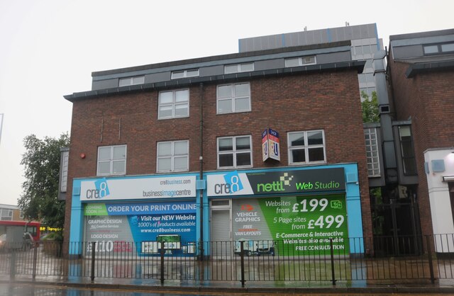
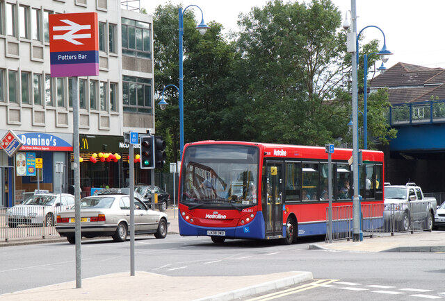
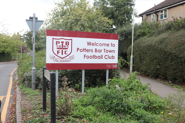
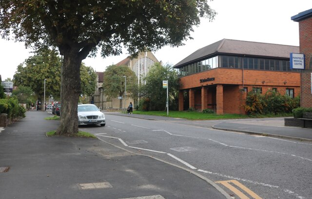
Dugdale Hill Images
Images are sourced within 2km of 51.694962/-0.20730366 or Grid Reference TL2401. Thanks to Geograph Open Source API. All images are credited.


Dugdale Hill is located at Grid Ref: TL2401 (Lat: 51.694962, Lng: -0.20730366)
Administrative County: Hertfordshire
District: Hertsmere
Police Authority: Hertfordshire
What 3 Words
///lions.pump.plays. Near Potters Bar, Hertfordshire
Nearby Locations
Related Wikis
Dame Alice Owen's School
Dame Alice Owen's School (DAOS, or simply Dame Alice Owen's or Owen's) is an 11–18 mixed, partially selective secondary school and sixth form with academy...
Potters Bar rail accidents
There have been four railway accidents at Potters Bar (England). Those in 1898 and 1946 were signals passed at danger. The accident in 2002 led to substantial...

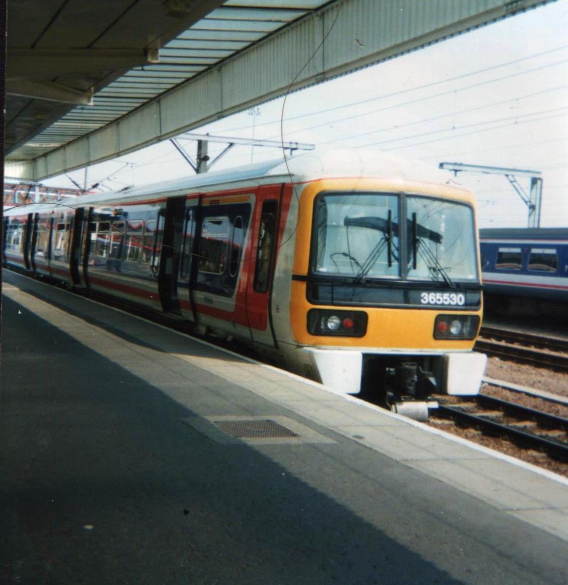
Potters Bar railway station
Potters Bar railway station serves the town of Potters Bar in Hertfordshire, England. It is located on the Great Northern Route 12 miles 57 chains (20...
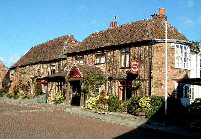
Wyllyotts Manor
Wyllyotts Manor is a public house and restaurant in Potters Bar, England, and a grade II listed building with Historic England. It consists of a late 16th...

M16 motorway
The M16 motorway was the designation planned in the late 1960s and early 1970s for use on Ringway 3, a new motorway planned as part of the London Ringways...

Furzefield Wood and Lower Halfpenny Bottom
Furzefield Wood and Lower Halfpenny is a 7.4 hectare Local Nature Reserve in Potters Bar in Hertfordshire. It is owned and managed by Hertsmere Borough...

Potters Bar Urban District
Potters Bar Urban District was a local government district in England from 1894 to 1974, covering the town of Potters Bar and the village of South Mimms...
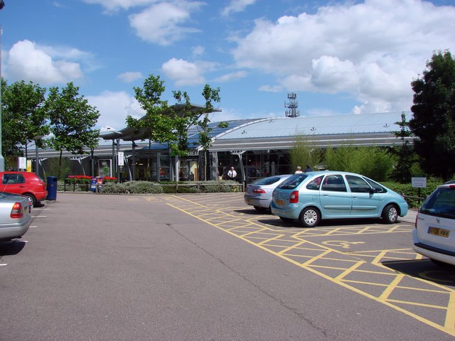
South Mimms services
South Mimms services is a motorway service area accessible from Junction 23 of the M25 motorway which is also Junction 1 of the A1(M), in England near...
Nearby Amenities
Located within 500m of 51.694962,-0.20730366Have you been to Dugdale Hill?
Leave your review of Dugdale Hill below (or comments, questions and feedback).