Cooper's Hill
Hill, Mountain in Sussex Horsham
England
Cooper's Hill
Cooper's Hill is a prominent natural landmark located in West Sussex, England. Situated near the village of Slaugham, the hill is part of the High Weald Area of Outstanding Natural Beauty. Although referred to as a hill, its elevation of 238 meters above sea level classifies it as a mountain according to the British definition.
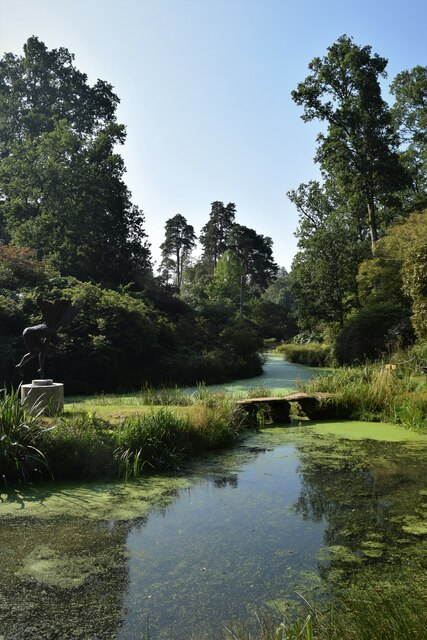
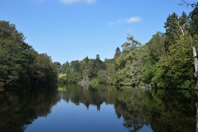
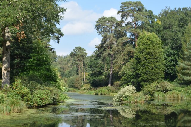
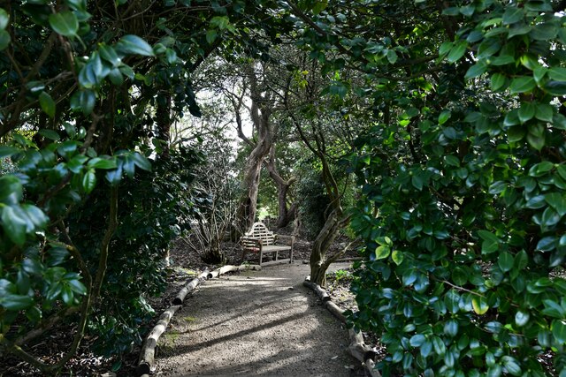
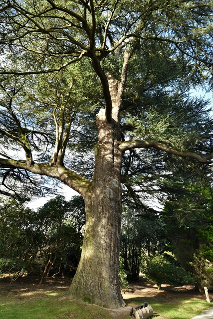
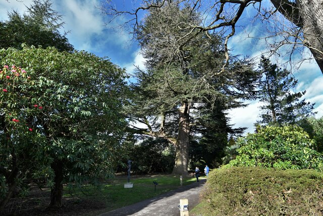
Cooper's Hill is known for its beautiful landscape, featuring extensive woodlands, open meadows, and stunning panoramic views of the surrounding countryside. The hill is predominantly covered in dense forests, consisting of a variety of tree species, including oak, beech, and birch. These woodlands provide a habitat for numerous wildlife species, making it a popular destination for nature enthusiasts and hikers.
The hill's name is believed to originate from the Saxon word "coper," meaning "copper," as copper mining was historically conducted in the area. Its rich history is further evidenced by the presence of Iron Age earthworks and an ancient burial mound on its slopes.
Cooper's Hill gained international recognition for its annual tradition of cheese rolling. Every Spring Bank Holiday, thrill-seekers gather at the hill's steep slopes to participate in the exhilarating event. A round of Double Gloucester cheese is rolled down the hill, and participants chase after it, risking injury as they tumble down the treacherous incline. The event attracts both locals and tourists who come to witness the spectacle and experience the unique adrenaline rush.
In summary, Cooper's Hill is an enchanting natural landmark in Sussex, offering stunning views, rich wildlife, and a thrilling annual event. Whether exploring its woodlands or witnessing the gravity-defying cheese rolling, visitors are bound to be captivated by the hill's charm and beauty.
If you have any feedback on the listing, please let us know in the comments section below.
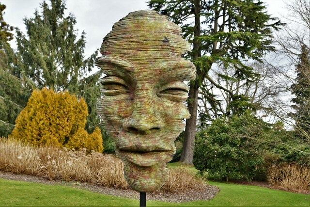
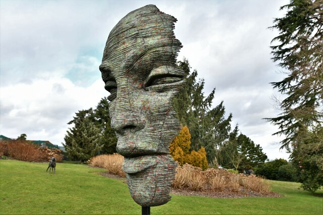
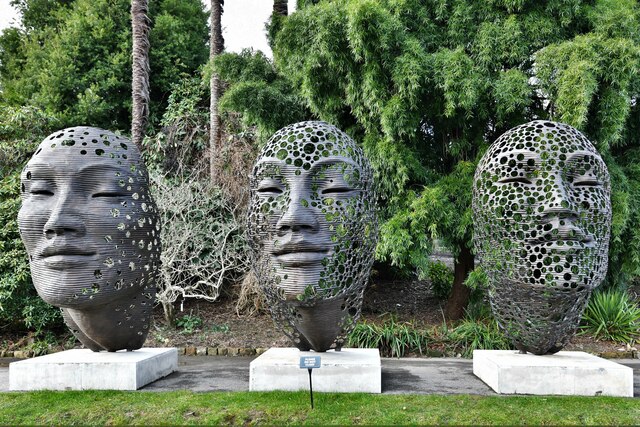
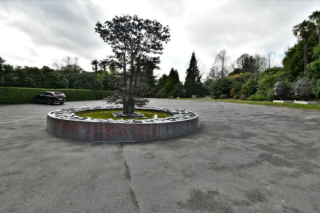
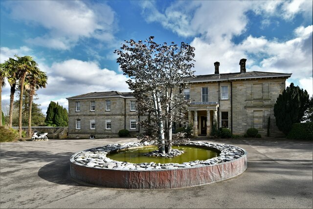
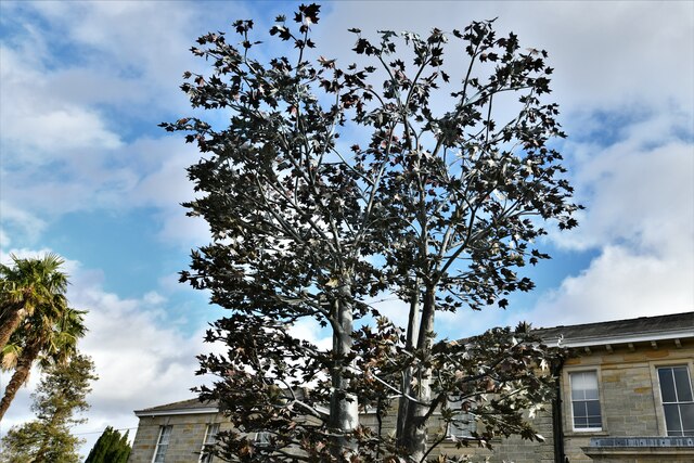
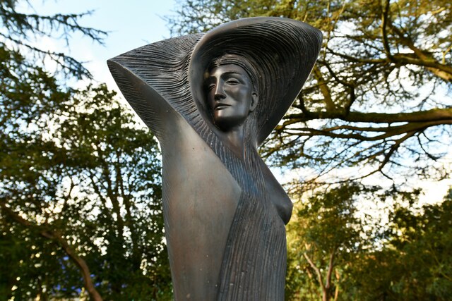
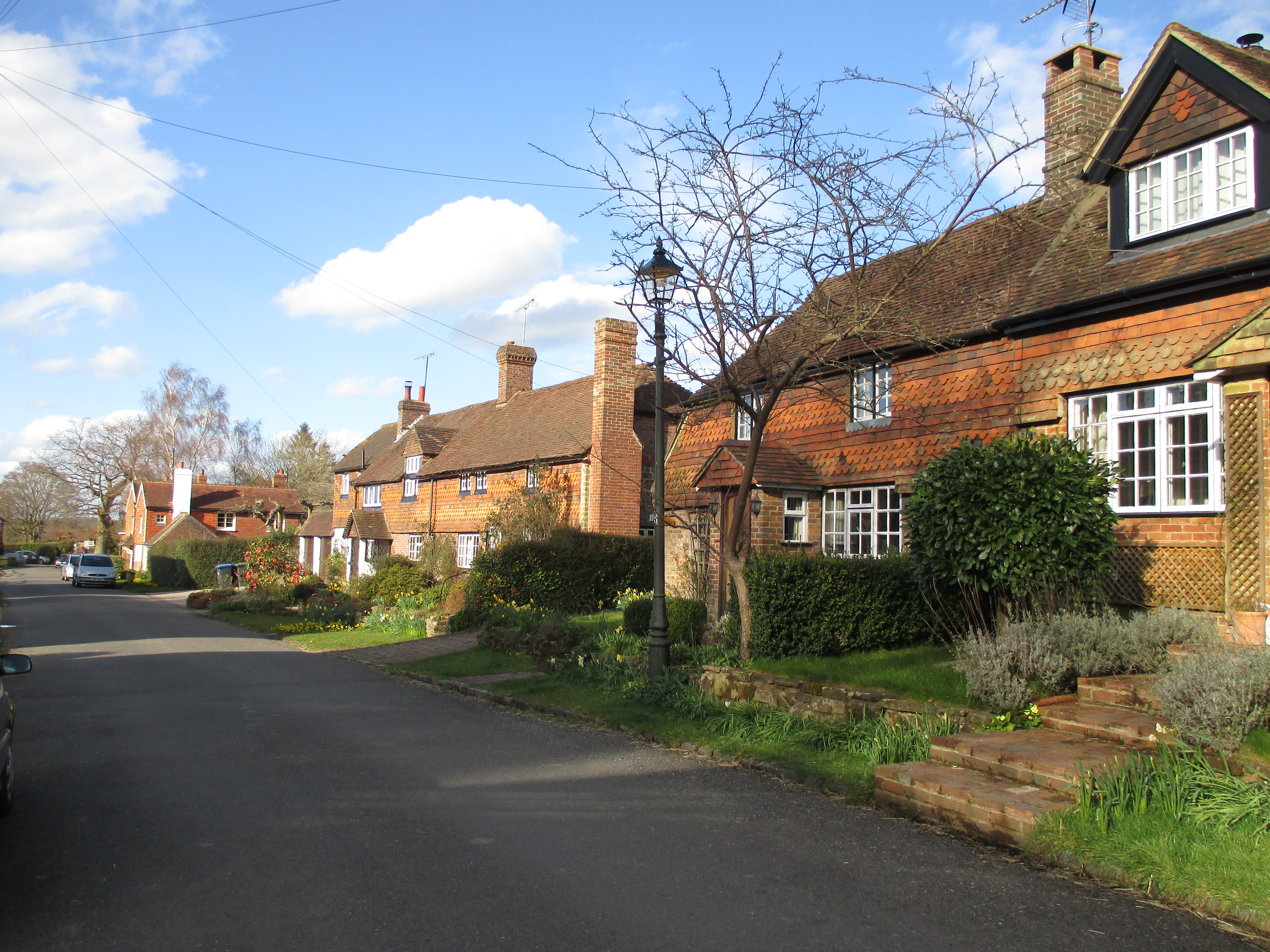
Cooper's Hill Images
Images are sourced within 2km of 51.027793/-0.25267372 or Grid Reference TQ2226. Thanks to Geograph Open Source API. All images are credited.
Cooper's Hill is located at Grid Ref: TQ2226 (Lat: 51.027793, Lng: -0.25267372)
Administrative County: West Sussex
District: Horsham
Police Authority: Sussex
What 3 Words
///deeper.peroxide.gliders. Near Cowfold, West Sussex
Nearby Locations
Related Wikis

Newells Preparatory School
Newells Preparatory School came to Lower Beeding, Sussex, in 1946. It has been at Handcross and known as Handcross Park School since 1968. It merged with...

Lower Beeding
Lower Beeding is a village and civil parish in the Horsham District of West Sussex, England. The village lies on the B2110, B2115 and A281 roads 3.5 miles...

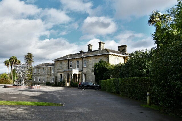
Leonardslee
Leonardslee is an English country house and English landscape garden and woodland garden in Lower Beeding, near Horsham, West Sussex, England. The Grade...

Crabtree, West Sussex
Crabtree is a hamlet in the parish of Lower Beeding and in Horsham District of West Sussex, England. It lies on the A281 road 4.4 miles (7.1 km) southeast...

Monk's Gate
Monk's Gate is a hamlet in the civil parish of Nuthurst, in the Horsham District of West Sussex, England. It lies on the A281 road 3 miles (5 km) southeast...
Warninglid
Warninglid (historically known as Warninglyth and Warningeld) is a small village in the Mid Sussex District of West Sussex, England. It lies on the B2115...

Mannings Heath
Mannings Heath is a village in the civil parish of Nuthurst and the Horsham District of West Sussex, England. The village is on the A281 road, 2 miles...

Mannings Heath Golf & Wine Estate
Mannings Heath Golf & Wine Estate is located in Mannings Heath, Horsham in the south of England. The 500 acre parkland site includes two golf courses and...
Nearby Amenities
Located within 500m of 51.027793,-0.25267372Have you been to Cooper's Hill?
Leave your review of Cooper's Hill below (or comments, questions and feedback).