Beeding Hill

Hill, Mountain in Sussex Horsham

England

Beeding Hill

Monarch's Way - heading ESE
Monarch's Way - heading ESE Credit: Ian Cunliffe

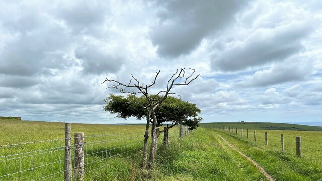
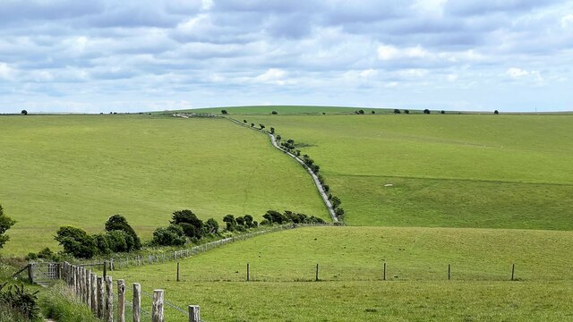
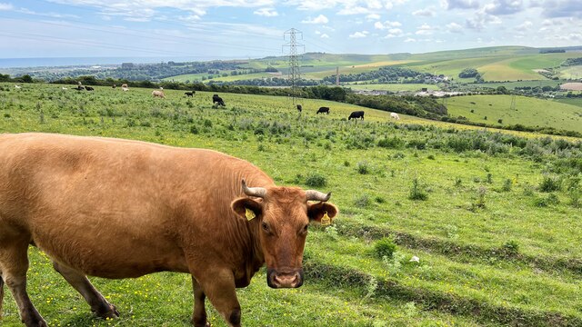
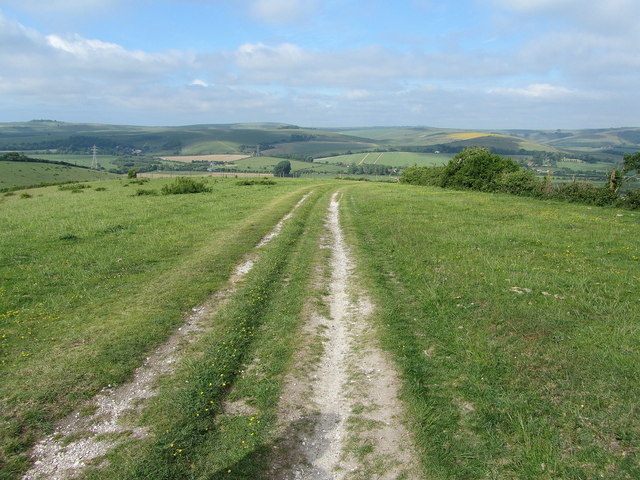
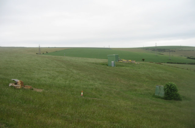
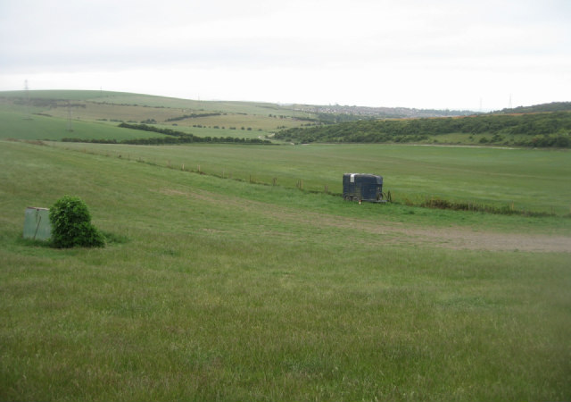
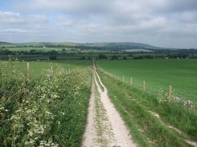
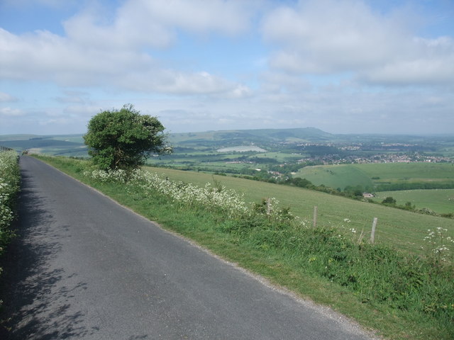
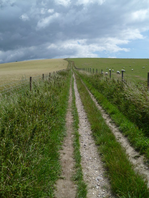
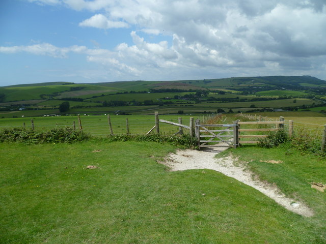
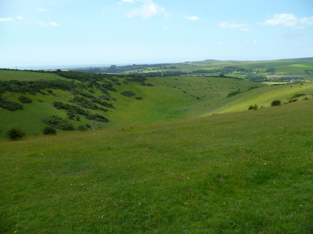
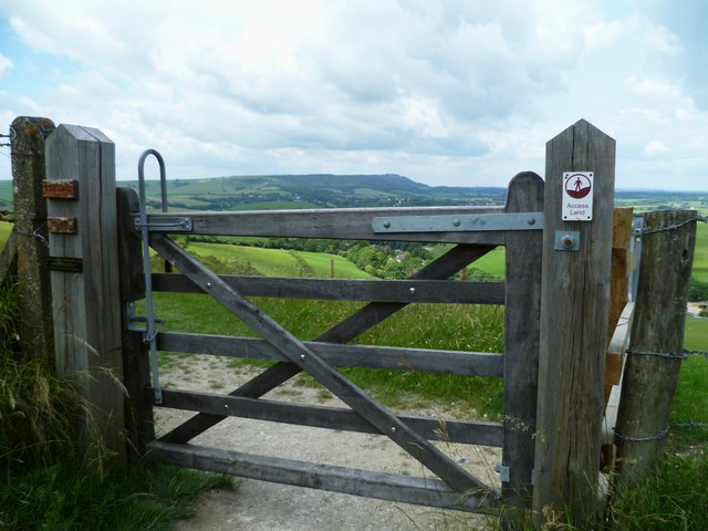
Beeding Hill, located in Sussex, England, is a prominent hill that forms part of the South Downs, a range of chalk hills stretching across the southeastern coast of England. Rising to an elevation of 210 meters (689 feet), Beeding Hill is known for its commanding views of the surrounding countryside and the nearby River Adur.

The hill is characterized by its rolling chalk grassland, which supports a diverse range of flora and fauna. It is home to various species of wildflowers, including orchids, and provides an important habitat for butterflies and other insects. The grassland is carefully managed to maintain its ecological value, and efforts are made to prevent the encroachment of scrub and woodland.

Beeding Hill also holds historical significance, with evidence of human activity dating back to the Iron Age. Archaeological excavations have revealed the presence of ancient settlements and burial mounds, highlighting the hill’s long-standing importance as a strategic location.

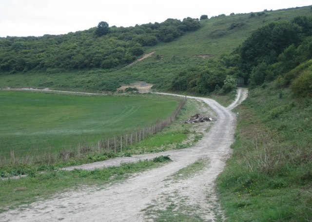
The hill is a popular destination for outdoor enthusiasts, offering opportunities for hiking and nature walks along well-defined trails. Visitors can enjoy breathtaking views of the surrounding countryside and take in the serene beauty of the South Downs. Beeding Hill is easily accessible, with several footpaths leading to its summit from nearby villages and towns.

Overall, Beeding Hill stands as a natural and historical landmark in Sussex, attracting both nature lovers and history enthusiasts alike with its scenic beauty and rich heritage.

If you have any feedback on the listing, please let us know in the comments section below.

Beeding Hill Images

Images are sourced within 2km of 50.874488/-0.27454583 or Grid Reference TQ2109. Thanks to Geograph Open Source API. All images are credited.

Monarch's Way - heading ESE
Cattle - and view SW over the Adur Valley You can see the sea and Lancing College Chapel on the left of the photo.
Cattle - and view SW over the Adur Valley
You can see the sea and Lancing College Chapel on the left of the photo.
Autumn Lady Tresses Autumn Lady Tresses, Spiranthes spiralis in flower at Anchor Bottom next to the A283 in East Sussex.
Autumn Lady Tresses
Autumn Lady Tresses, Spiranthes spiralis in flower at Anchor Bottom next to the A283 in East Sussex.
Smugglers Lane Unmade road that runs round the back of Upper Beeding from Pound Lane to Upper Horton on the Henfield Road.
Smugglers Lane
Unmade road that runs round the back of Upper Beeding from Pound Lane to Upper Horton on the Henfield Road.
Rising Sun, High Street With the sun setting behind it, the flash on the camera having brightened the road sign. An old coaching inn on the old Shoreham-Horsham/London route that dates back to the 18th century, it survived the closing of that route in 1807 by being on the junction of the new turnpike to Shoreham. Viewed from Henfield Road with Shoreham Road going left and High Street heading right.
Rising Sun, High Street
With the sun setting behind it, the flash on the camera having brightened the road sign. An old coaching inn on the old Shoreham-Horsham/London route that dates back to the 18th century, it survived the closing of that route in 1807 by being on the junction of the new turnpike to Shoreham. Viewed from Henfield Road with Shoreham Road going left and High Street heading right.
Farm track - Thundersbarrow Hill
South Downs Way above Anchor Bottom The National Trail east of the Adur Valley
South Downs Way above Anchor Bottom
The National Trail east of the Adur Valley
Clay pigeon sling Apologies if this is the incorrect term for the contraption.
Clay pigeon sling
Apologies if this is the incorrect term for the contraption.
Skeet shooting range In the lee of Thundersbarrow Hill.
Skeet shooting range
In the lee of Thundersbarrow Hill.
Shooting range by Thundersbarrow Hill
Lone horse box - Thundersbarrow Hill Used to ferry customers up to the clay pigeon shooting range.
Lone horse box - Thundersbarrow Hill
Used to ferry customers up to the clay pigeon shooting range.
The South Downs Way leading up from the Adur Valley
The South Downs Way on Beeding Hill
South Downs Way climbs Beeding Hill A similar view is at <a title="https://www.geograph.org.uk/photo/2431572" href="https://www.geograph.org.uk/photo/2431572">Link</a>.
South Downs Way climbs Beeding Hill
A similar view is at Link.
Bridleway gate on the South Downs Way on Beeding Hill
Anchor Bottom by the South Downs Way The chimney of the disused cement works is in the picture and Lancing College is set against the sea.
Anchor Bottom by the South Downs Way
The chimney of the disused cement works is in the picture and Lancing College is set against the sea.
Bridlegate to Access Land on the South Downs On the left gatepost are three plaques.  One says "Mossie", another "Rosies Gate" and the third is a memorial to "Bonnie".
Bridlegate to Access Land on the South Downs
On the left gatepost are three plaques. One says "Mossie", another "Rosies Gate" and the third is a memorial to "Bonnie".
Show me another place!

Beeding Hill is located at Grid Ref: TQ2109 (Lat: 50.874488, Lng: -0.27454583)

Administrative County: West Sussex

District: Horsham

Police Authority: Sussex

What 3 Words

///above.dentures.motor. Near Steyning, West Sussex

Nearby Locations

Beeding Hill

Related Wikis

Erringham chapel

Erringham chapel is a former place of worship in the deserted medieval village of Old Erringham, north of Shoreham-by-Sea in the district of Adur, one...

Towers Convent School

The Towers Convent School was a private Roman Catholic boarding and day school for girls aged 4–16 and boys up to age 11 in Upper Beeding near Steyning...

Thundersbarrow Hill

Thundersbarrow Hill is an archaeological site in West Sussex, England. It is on a chalk ridge, aligned north-west to south-east, on the South Downs north...

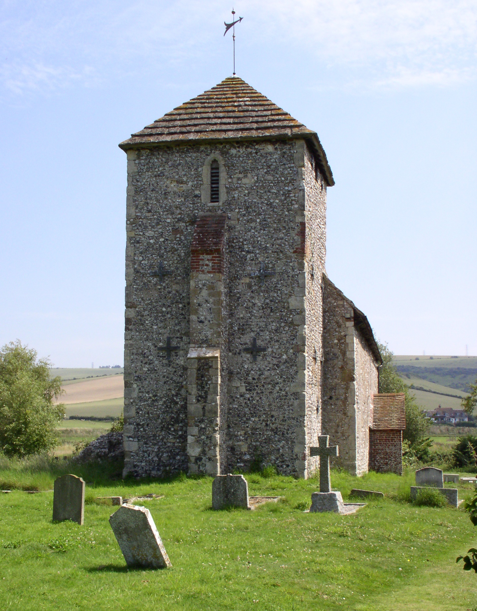
St Botolph's Church, Botolphs

The Grade I listed Saxon church of St Botolph's at Botolphs, West Sussex, England, is situated in the valley of the River Adur and is now part of the Church...

Nearby Amenities

Located within 500m of 50.874488,-0.27454583
Beeding Hill
Created By: Potlatch 0.10f
Natural: peak
Source: NPE
Lat/Long: 50.87437/-0.2759108
Power: tower
Source: Bing
Lat/Long: 50.8715938/-0.2727423
Power: tower
Source: Bing
Lat/Long: 50.87158/-0.2697728
Power: tower
Source: Bing
Lat/Long: 50.8716351/-0.2764324
Barrier: stile
Lat/Long: 50.876911/-0.2751354
The data included in this document is from www.openstreetmap.org. The data is made available under ODbL.

Have you been to Beeding Hill?

Leave your review of Beeding Hill below (or comments, questions and feedback).