Beelsby Top
Hill, Mountain in Lincolnshire
England
Beelsby Top

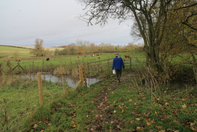
Beelsby Top is a prominent hill located in the county of Lincolnshire, England. Situated near the village of Beelsby, it stands at an elevation of approximately 160 meters above sea level, making it one of the highest points in the region. Despite its relatively modest height, the summit offers stunning panoramic views of the surrounding countryside, including the Lincolnshire Wolds to the west and the Humber Estuary to the east.
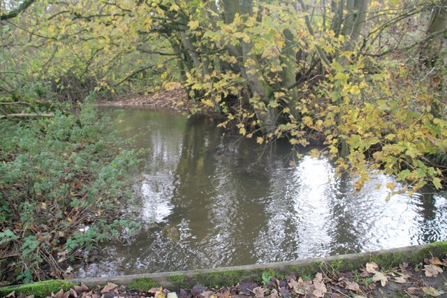
The hill itself is characterized by its gentle slopes and grassy terrain, making it a popular destination for walkers, hikers, and nature enthusiasts. The area is home to a diverse range of flora and fauna, with heather, gorse, and wildflowers adorning the landscape during the summer months. Birdwatchers can also enjoy spotting various species, including kestrels, buzzards, and skylarks that call Beelsby Top their home.
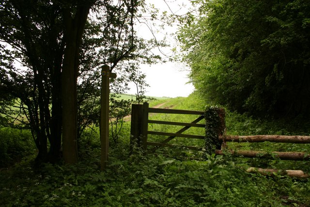
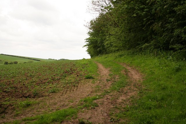
Beelsby Top is easily accessible by foot, with several well-maintained footpaths leading to the summit. It is also a common stop for cyclists exploring the Lincolnshire Wolds, offering a picturesque spot for a rest and enjoying the breathtaking views. Additionally, the hill has become a popular location for paragliding enthusiasts, who take advantage of the windswept slopes to launch their flights.
Overall, Beelsby Top is a beautiful and tranquil hill in Lincolnshire, offering both natural beauty and recreational opportunities for visitors to enjoy. Whether hiking, cycling, or simply taking in the scenery, this hill provides a welcome escape from the hustle and bustle of everyday life.
If you have any feedback on the listing, please let us know in the comments section below.
Beelsby Top Images
Images are sourced within 2km of 53.495593/-0.19526856 or Grid Reference TA1901. Thanks to Geograph Open Source API. All images are credited.


Beelsby Top is located at Grid Ref: TA1901 (Lat: 53.495593, Lng: -0.19526856)
Unitary Authority: North East Lincolnshire
Police Authority: Humberside
What 3 Words
///behalf.expose.bottom. Near Laceby, Lincolnshire
Nearby Locations
Related Wikis

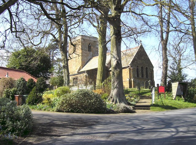
Beelsby
Beelsby is a village in North East Lincolnshire, England. The village is situated approximately 6 miles (10 km) south-west from Grimsby. Beelsby population...

Hatcliffe
Hatcliffe is a small village and civil parish in rural North East Lincolnshire, England. It is situated 6 miles (10 km) south-west from Grimsby and 1.5...

Cuxwold
Cuxwold is a village and former civil parish, now in the parish of Swallow, in the West Lindsey district of Lincolnshire, England. It lies in the Lincolnshire...

Swallow, Lincolnshire
Swallow is a small village and civil parish in the West Lindsey district of Lincolnshire, England, on the A46 road 4 miles (6.4 km) north-east from Caistor...

Croxby
Croxby is a hamlet and former civil parish, now in the parish of Thoresway, in the West Lindsey district of Lincolnshire, England. It is situated approximately...

West Ravendale Priory
West Ravendale Priory was a Premonstratensian priory in North East Lincolnshire, England and one of nine within the historical county. The site of the...

West Ravendale
West Ravendale is a hamlet in the civil parish of East Ravendale , in North East Lincolnshire, England, and approximately 8 miles (13 km) south-west from...
Irby upon Humber
Irby upon Humber or Irby-on-Humber is a small village and (as just Irby) a civil parish in North East Lincolnshire, England. The village is situated on...
Nearby Amenities
Located within 500m of 53.495593,-0.19526856Have you been to Beelsby Top?
Leave your review of Beelsby Top below (or comments, questions and feedback).