Gallow Hill
Hill, Mountain in Bedfordshire
England
Gallow Hill
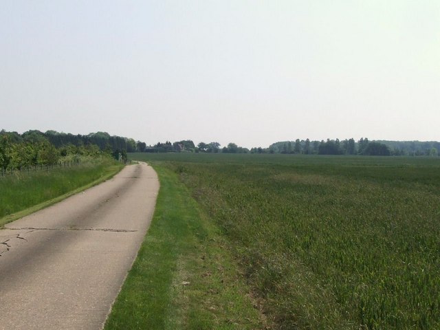
Gallow Hill is a prominent hill located in the county of Bedfordshire, England. Situated near the town of Ampthill, it forms part of the Greensand Ridge, a range of hills that stretches across the county. Gallow Hill stands at an elevation of approximately 170 meters (560 feet) above sea level, making it one of the highest points in the area.
The hill derives its name from its historical association with gallows. In medieval times, it was used as a site for public executions, where criminals were hanged as a form of punishment. This macabre history adds an air of intrigue to Gallow Hill, attracting visitors interested in its dark past.
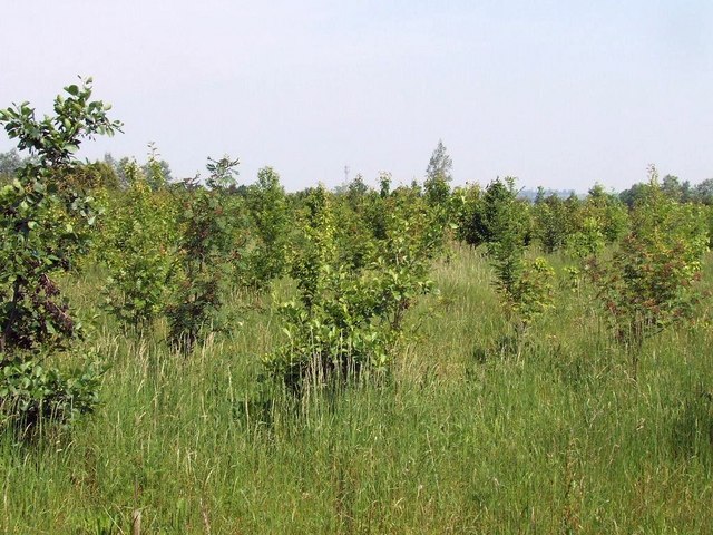
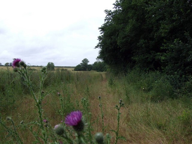
From the summit of Gallow Hill, visitors are rewarded with breathtaking panoramic views of the surrounding countryside. On a clear day, one can see the rolling hills and lush green fields that make up the picturesque Bedfordshire landscape. The hill is also home to diverse flora and fauna, with various wildflowers and plants dotting its slopes.
Gallow Hill is a popular destination for outdoor enthusiasts, offering opportunities for hiking and nature walks. Its well-maintained trails meander through woodlands and open meadows, providing visitors with a peaceful and tranquil environment. Nature lovers can enjoy spotting wildlife such as rabbits, deer, and a variety of bird species.
Overall, Gallow Hill is an important historical landmark and a natural treasure in Bedfordshire, attracting both history buffs and nature enthusiasts alike.
If you have any feedback on the listing, please let us know in the comments section below.
Gallow Hill Images
Images are sourced within 2km of 52.201833/-0.26089086 or Grid Reference TL1857. Thanks to Geograph Open Source API. All images are credited.


Gallow Hill is located at Grid Ref: TL1857 (Lat: 52.201833, Lng: -0.26089086)
Unitary Authority: Bedford
Police Authority: Bedfordshire
What 3 Words
///writings.ironclad.most. Near Little Barford, Bedfordshire
Nearby Locations
Related Wikis
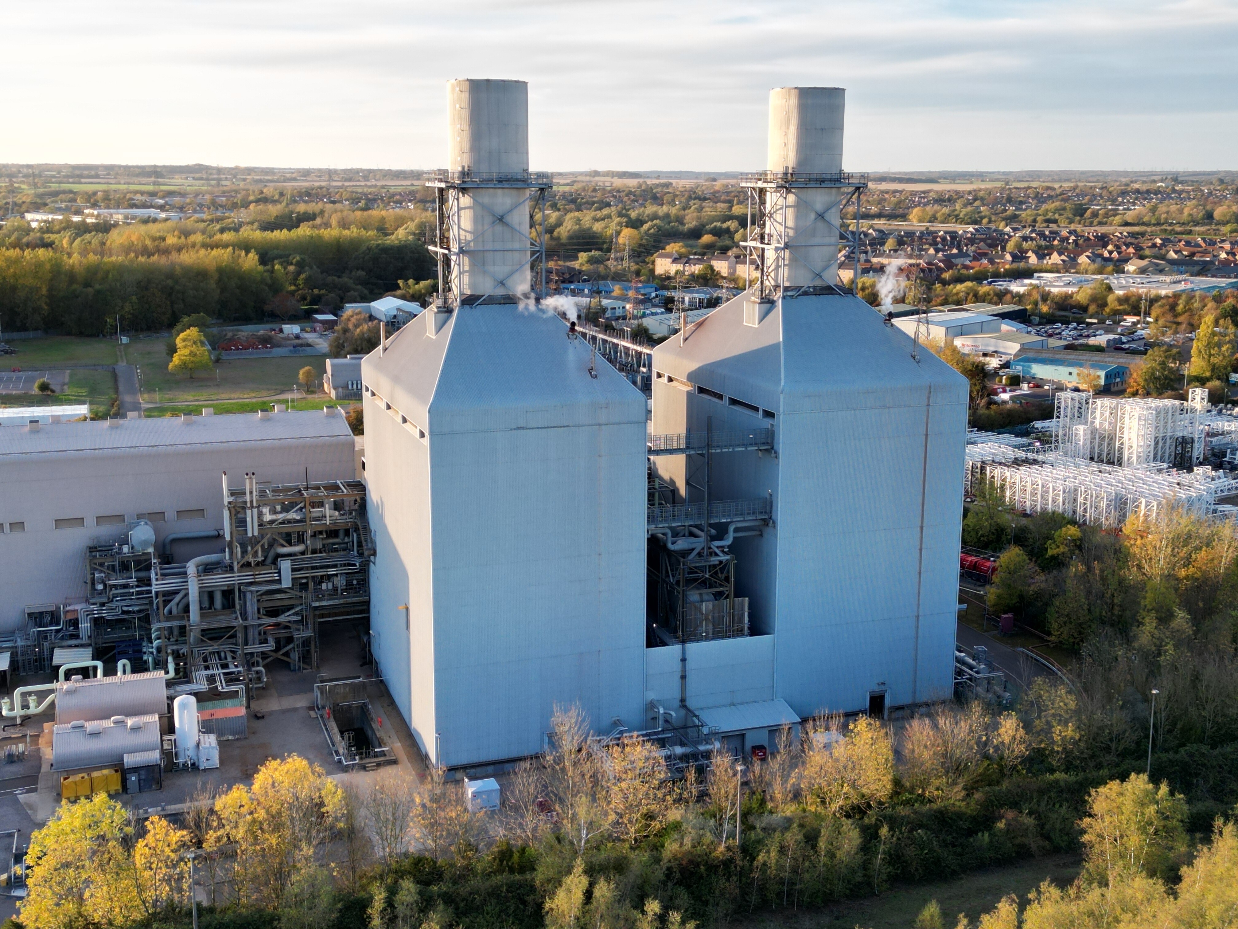
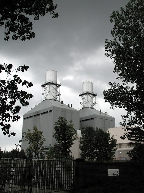
Little Barford Power Station
Little Barford Power Station is a gas-fired power station just north of the village of Little Barford (close to St Neots) in Bedfordshire, England. It...

Little Barford
Little Barford is a hamlet and civil parish in the Borough of Bedford in Bedfordshire, England about 7 miles (11 km) northeast of the county town of Bedford...

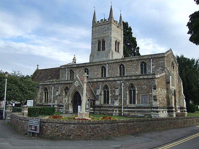
St Denys' Church, Little Barford
St Denys' Church is a redundant Anglican church in the village of Little Barford, Bedfordshire, England. It is recorded in the National Heritage List...

Ernulf Academy
Ernulf Academy is a secondary school with academy status, located in St Neots, Cambridgeshire, England. It is one of two St Neots secondary schools that...

Eynesbury Hardwicke
Eynesbury Hardwicke is a former civil parish, now in the parishes of Abbotsley and St Neots, in the Huntingdonshire part of Cambridgeshire, England. At...
Eynesbury, Cambridgeshire
Eynesbury is an urban area forming part of St Neots, in the civil parish of St Neots, in the Huntingdonshire district, in the county of Cambridgeshire...
Eynesbury Rovers F.C.
Eynesbury Rovers Football Club is a football club based in the Eynesbury area of St Neots in Cambridgeshire, England. The club are currently members of...
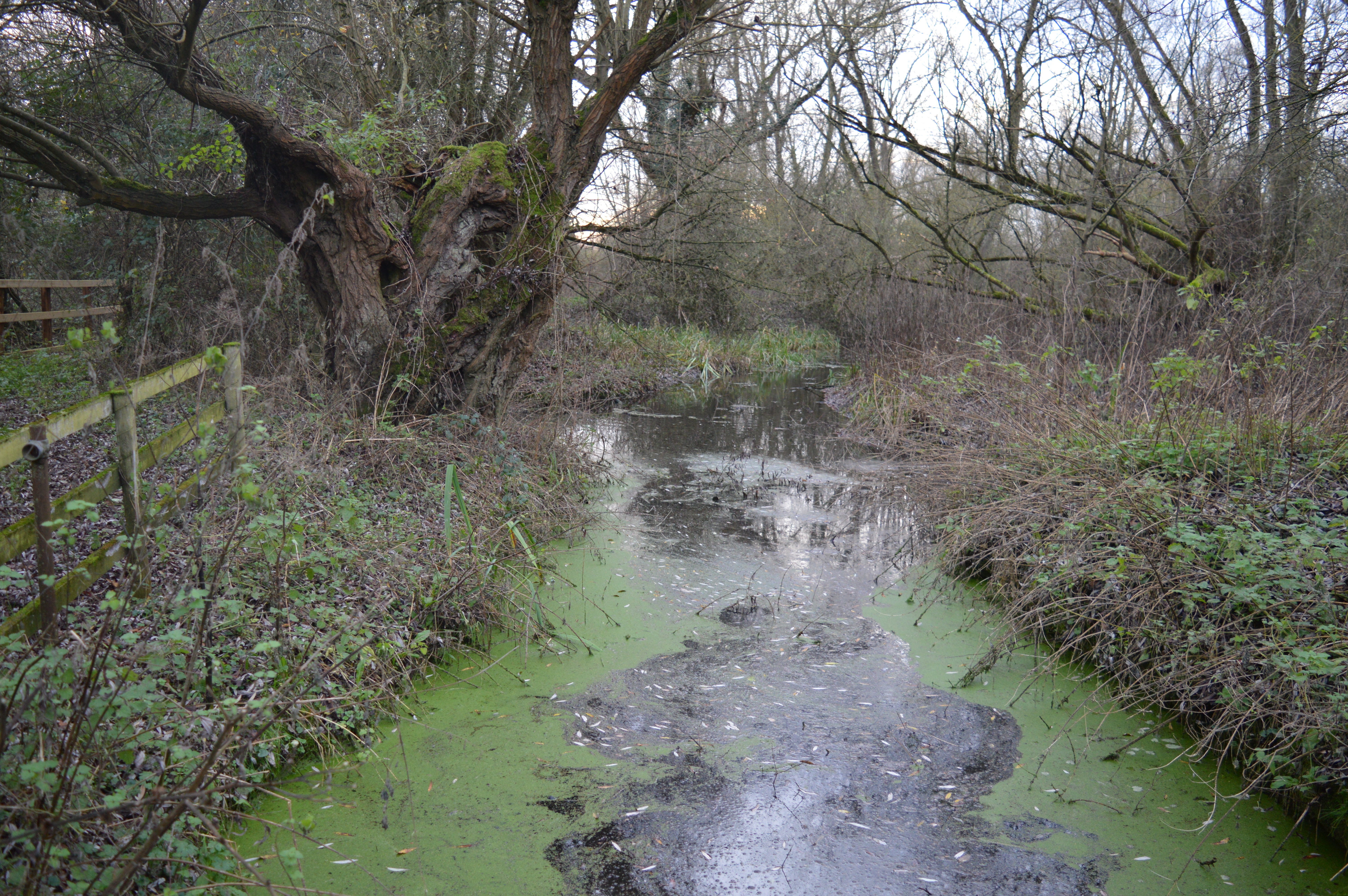
Begwary Brook
Begwary Brook in Bedfordshire is a four mile long tributary of the River Great Ouse. Its source is half a mile north of Duck's Cross, and it then flows...
Nearby Amenities
Located within 500m of 52.201833,-0.26089086Have you been to Gallow Hill?
Leave your review of Gallow Hill below (or comments, questions and feedback).