Back o' Frank's Hill

Hill, Mountain in Lincolnshire East Lindsey

England

Back o' Frank's Hill

Ridge and furrow fields, Back o' Frank's Hill, near Panton : aerial 2022 See: <span class="nowrap"><a title="https://www.heritagegateway.org.uk/Gateway/Results_Single.aspx?uid=MLI88912&resourceID=1006" rel="nofollow ugc noopener" href="https://www.heritagegateway.org.uk/Gateway/Results_Single.aspx?uid=MLI88912&resourceID=1006">Link</a><img style="margin-left:2px;" alt="External link" title="External link - shift click to open in new window" src="https://s1.geograph.org.uk/img/external.png" width="10" height="10"/></span>
Ridge and furrow fields, Back o' Frank's Hill, near Panton : aerial 2022 Credit: Simon Tomson

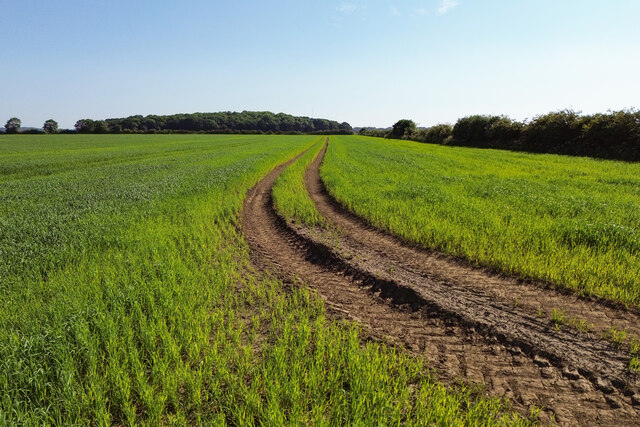
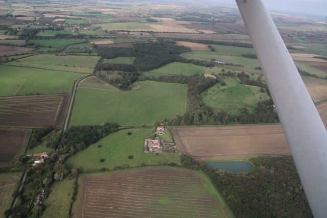
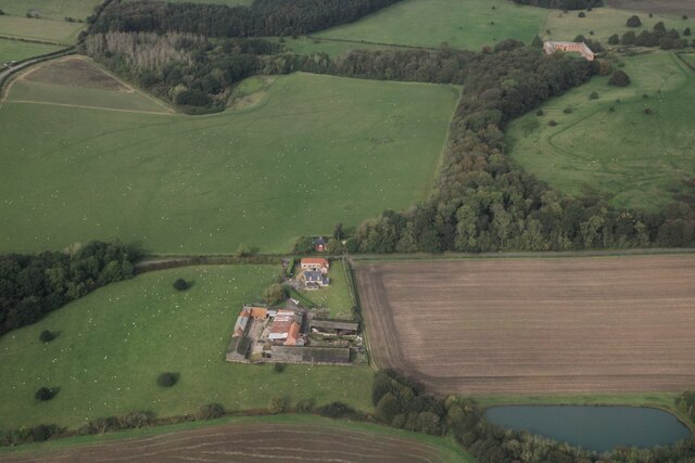
Back o' Frank's Hill is a prominent geographical feature located in Lincolnshire, a county in the eastern part of England. Although referred to as a hill, it is more accurately described as a large mound or gentle rise in the otherwise flat landscape of the region. Rising to an elevation of approximately 100 meters, it offers panoramic views of the surrounding countryside.

Situated near the village of Huttoft, Back o' Frank's Hill is a popular destination for locals and tourists alike. Its location within the Lincolnshire Wolds, an Area of Outstanding Natural Beauty, adds to its allure. The hill is accessible via a well-maintained footpath that winds its way to the summit, making it easily accessible to visitors of all ages and abilities.

The hill itself is covered in a variety of vegetation, with patches of grass, shrubs, and wildflowers dotting the landscape. This creates a picturesque setting, particularly during the summer months when the hillside is ablaze with color. The area is also home to a diverse range of wildlife, including birds, butterflies, and small mammals.

Back o' Frank's Hill is steeped in history, with archaeological evidence suggesting that it has been inhabited since prehistoric times. It is believed that the hill was once used as a defensive site, providing a vantage point to observe potential threats and protect the surrounding settlements.

Today, Back o' Frank's Hill continues to captivate visitors with its natural beauty, historical significance, and breathtaking views, making it a must-visit destination for those exploring the enchanting landscapes of Lincolnshire.

If you have any feedback on the listing, please let us know in the comments section below.

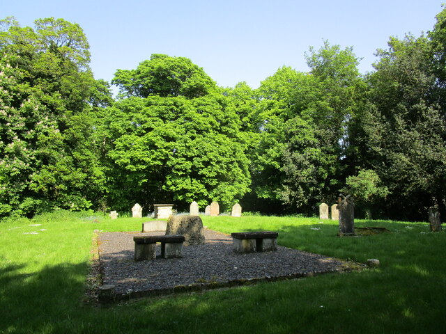
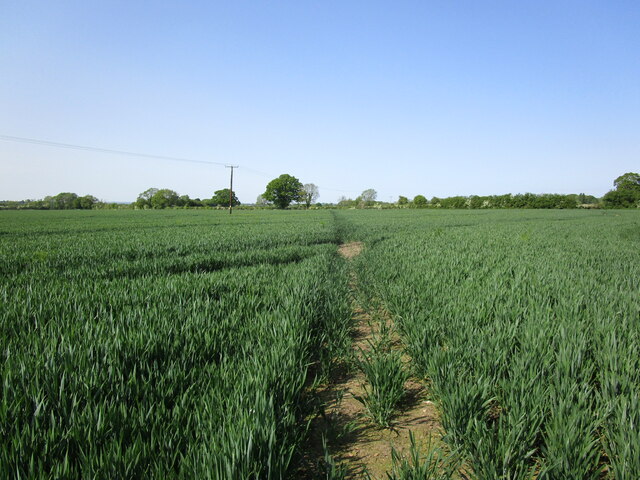
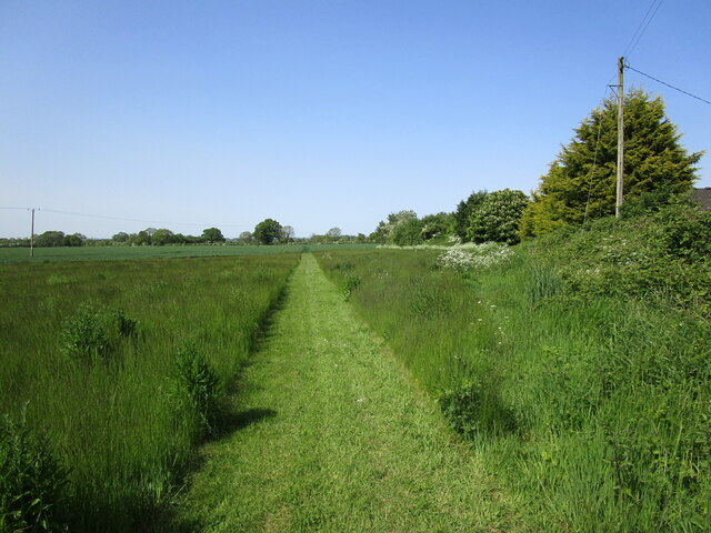
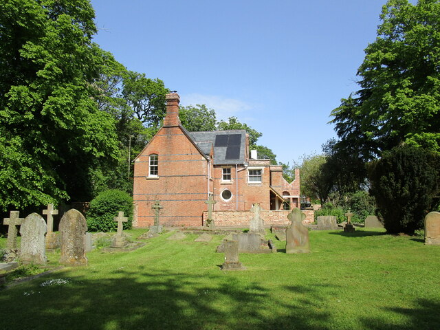
Back o' Frank's Hill Images

Images are sourced within 2km of 53.304082/-0.24098019 or Grid Reference TF1780. Thanks to Geograph Open Source API. All images are credited.

Ridge and furrow fields, Back o' Frank's Hill, near Panton : aerial 2022 See: <span class="nowrap"><a title="https://www.heritagegateway.org.uk/Gateway/Results_Single.aspx?uid=MLI88912&resourceID=1006" rel="nofollow ugc noopener" href="https://www.heritagegateway.org.uk/Gateway/Results_Single.aspx?uid=MLI88912&resourceID=1006">Link</a><img style="margin-left:2px;" alt="External link" title="External link - shift click to open in new window" src="https://s1.geograph.org.uk/img/external.png" width="10" height="10"/></span>
Ridge and furrow fields, Back o' Frank's Hill, near Panton : aerial 2022
See: LinkExternal link
Tracks in a field Looking towards Cocked Hat Plantation.
Tracks in a field
Looking towards Cocked Hat Plantation.
Cropmarks on field near Panton: aerial 2023
Goddard Hill and Warren Hill to Panton Park: aerial 2023 See also <a href="https://www.geograph.org.uk/photo/7629789">TF1879 : Warren Farm to Panton Park: aerial 2023</a> and <a href="https://www.geograph.org.uk/photo/7629829">TF1880 : Panton Park and stable block: aerial 2023</a>.
Goddard Hill and Warren Hill to Panton Park: aerial 2023
Warren Farm to Panton Park: aerial 2023 See also <a href="https://www.geograph.org.uk/photo/7629783">TF1879 : Goddard Hill and Warren Hill to Panton Park: aerial 2023</a>.
Warren Farm to Panton Park: aerial 2023
Stable block at site of Panton Hall: aerial 2022 (1) It dates from 1777 and was probably built by William Legg. It underwent alterations in the 20th century. 

See: <span class="nowrap"><a title="https://www.heritagegateway.org.uk/Gateway/Results_Single.aspx?uid=MLI93551&resourceID=1006" rel="nofollow ugc noopener" href="https://www.heritagegateway.org.uk/Gateway/Results_Single.aspx?uid=MLI93551&resourceID=1006">Link</a><img style="margin-left:2px;" alt="External link" title="External link - shift click to open in new window" src="https://s1.geograph.org.uk/img/external.png" width="10" height="10"/></span>
Stable block at site of Panton Hall: aerial 2022 (1)
It dates from 1777 and was probably built by William Legg. It underwent alterations in the 20th century. See: LinkExternal link
Stable block at site of Panton Hall: aerial 2022 (2) It dates from 1777 and was probably built by William Legg. It underwent alterations in the 20th century. 

See: <span class="nowrap"><a title="https://www.heritagegateway.org.uk/Gateway/Results_Single.aspx?uid=MLI93551&resourceID=1006" rel="nofollow ugc noopener" href="https://www.heritagegateway.org.uk/Gateway/Results_Single.aspx?uid=MLI93551&resourceID=1006">Link</a><img style="margin-left:2px;" alt="External link" title="External link - shift click to open in new window" src="https://s1.geograph.org.uk/img/external.png" width="10" height="10"/></span>
Stable block at site of Panton Hall: aerial 2022 (2)
It dates from 1777 and was probably built by William Legg. It underwent alterations in the 20th century. See: LinkExternal link
Stable block at site of Panton Hall: aerial 2022 (3) It dates from 1777 and was probably built by William Legg. It underwent alterations in the 20th century. 

See: <span class="nowrap"><a title="https://www.heritagegateway.org.uk/Gateway/Results_Single.aspx?uid=MLI93551&resourceID=1006" rel="nofollow ugc noopener" href="https://www.heritagegateway.org.uk/Gateway/Results_Single.aspx?uid=MLI93551&resourceID=1006">Link</a><img style="margin-left:2px;" alt="External link" title="External link - shift click to open in new window" src="https://s1.geograph.org.uk/img/external.png" width="10" height="10"/></span>
Stable block at site of Panton Hall: aerial 2022 (3)
It dates from 1777 and was probably built by William Legg. It underwent alterations in the 20th century. See: LinkExternal link
Panton: aerial 2023 (1)  Park and stable block, which is a listed building dating from 1777. 

Panton Hall itself was demolished in 1964.

See <a href="https://www.geograph.org.uk/photo/3595000">TF1880 : Stable Block at site of Panton Hall: aerial</a>, <span class="nowrap"><a title="http://www.britishlistedbuildings.co.uk/en-195409-stable-block-at-site-of-panton-hall-east#.VZEDdRurQsY" rel="nofollow ugc noopener" href="http://www.britishlistedbuildings.co.uk/en-195409-stable-block-at-site-of-panton-hall-east#.VZEDdRurQsY">Link</a><img style="margin-left:2px;" alt="External link" title="External link - shift click to open in new window" src="https://s1.geograph.org.uk/img/external.png" width="10" height="10"/></span>.
Panton: aerial 2023 (1)
Park and stable block, which is a listed building dating from 1777. Panton Hall itself was demolished in 1964. See TF1880 : Stable Block at site of Panton Hall: aerial, LinkExternal link.
Panton: aerial 2023 (2) Park and stable block, which is a listed building dating from 1777. 

Panton Hall itself was demolished in 1964.

See <a href="https://www.geograph.org.uk/photo/3595000">TF1880 : Stable Block at site of Panton Hall: aerial</a>, <span class="nowrap"><a title="http://www.britishlistedbuildings.co.uk/en-195409-stable-block-at-site-of-panton-hall-east#.VZEDdRurQsY" rel="nofollow ugc noopener" href="http://www.britishlistedbuildings.co.uk/en-195409-stable-block-at-site-of-panton-hall-east#.VZEDdRurQsY">Link</a><img style="margin-left:2px;" alt="External link" title="External link - shift click to open in new window" src="https://s1.geograph.org.uk/img/external.png" width="10" height="10"/></span>.
Panton: aerial 2023 (2)
Park and stable block, which is a listed building dating from 1777. Panton Hall itself was demolished in 1964. See TF1880 : Stable Block at site of Panton Hall: aerial, LinkExternal link.
Panton: aerial 2023 (3) Park, walled garden and stable block. The latter is a listed building dating from 1777. 

Panton Hall itself was demolished in 1964.

See <a href="https://www.geograph.org.uk/photo/3595000">TF1880 : Stable Block at site of Panton Hall: aerial</a>, <span class="nowrap"><a title="http://www.britishlistedbuildings.co.uk/en-195409-stable-block-at-site-of-panton-hall-east#.VZEDdRurQsY" rel="nofollow ugc noopener" href="http://www.britishlistedbuildings.co.uk/en-195409-stable-block-at-site-of-panton-hall-east#.VZEDdRurQsY">Link</a><img style="margin-left:2px;" alt="External link" title="External link - shift click to open in new window" src="https://s1.geograph.org.uk/img/external.png" width="10" height="10"/></span>.
Panton: aerial 2023 (3)
Park, walled garden and stable block. The latter is a listed building dating from 1777. Panton Hall itself was demolished in 1964. See TF1880 : Stable Block at site of Panton Hall: aerial, LinkExternal link.
Track to Panton Stables
The former East Barkwith Station This was opened in 1874 by the Louth and Lincoln Railway on its line from Bardney to Louth. It closed to passengers in 1951 and to all traffic in 1958.
The former East Barkwith Station
This was opened in 1874 by the Louth and Lincoln Railway on its line from Bardney to Louth. It closed to passengers in 1951 and to all traffic in 1958.
Barkwith Hall Comuunity building serving East and West Barkwith.
Barkwith Hall
Comuunity building serving East and West Barkwith.
Churchyard and site of All Saints' church, West Barkwith The church was demolished in 1983.
Churchyard and site of All Saints' church, West Barkwith
The church was demolished in 1983.
Footpath to East Barkwith Near Glebe Farm.
Footpath to East Barkwith
Near Glebe Farm.
Footpath to East Barkwith Near Glebe Farm.
Footpath to East Barkwith
Near Glebe Farm.
Churchyard and the Old Rectory, East Barkwith
Show me another place!

Back o' Frank's Hill is located at Grid Ref: TF1780 (Lat: 53.304082, Lng: -0.24098019)

Administrative County: Lincolnshire

District: East Lindsey

Police Authority: Lincolnshire

What 3 Words

///unearthly.flux.luggage. Near Wragby, Lincolnshire

Related Wikis

East Barkwith railway station

East Barkwith railway station was a railway station that served the village of East Barkwith, Lincolnshire, England between 1874 and 1958, on the Louth...

Panton, Lincolnshire

Panton is a village in the civil parish of East Barkwith, in the East Lindsey of district, Lincolnshire, England. It is situated approximately 13 miles...

East Barkwith

East Barkwith is a village and civil parish in the East Lindsey district of Lincolnshire, England. It is situated on the A157, and approximately 13 miles...

West Barkwith

West Barkwith is a village and civil parish in the East Lindsey district of Lincolnshire, England. It is situated on the A157 road and about 2.5 miles...

Hatton, Lincolnshire

Hatton is a small village and civil parish in the East Lindsey district of Lincolnshire, England. It is situated 3 miles (5 km) east of the town of Wragby...

Sotby

Sotby is a village and civil parish in the East Lindsey district of Lincolnshire, England. It is situated 15 miles (24 km) north-east from the city and...

South Willingham and Hainton railway station

South Willingham and Hainton railway station was a railway station that served the village of South Willingham, Lincolnshire, England between 1874 and...

Benniworth

Benniworth is a village and civil parish in the East Lindsey district of Lincolnshire, England. The village is situated just west of the B1225 road, and...

Nearby Amenities

Located within 500m of 53.304082,-0.24098019
Power: pole
Lat/Long: 53.2996506/-0.2419142
Power: pole
Lat/Long: 53.3004543/-0.242074
Power: pole
Lat/Long: 53.3004653/-0.2405067
Power: pole
Lat/Long: 53.300474/-0.2392526
Power: pole
Lat/Long: 53.3004823/-0.2378132
Power: pole
Lat/Long: 53.3014622/-0.2422663
Power: pole
Lat/Long: 53.302439/-0.2424586
Power: pole
Lat/Long: 53.3033413/-0.242634
Power: pole
Lat/Long: 53.3041581/-0.2427874
Power: pole
Lat/Long: 53.3050992/-0.2429758
Power: pole
Lat/Long: 53.3058826/-0.2431317
Power: pole
Lat/Long: 53.3066087/-0.2433004
Power: pole
Lat/Long: 53.3072958/-0.2440098
Back o'Frank's Hill
Natural: peak
Lat/Long: 53.3038871/-0.2418037
Goddard Hill
Place: locality
Source: Bing
Lat/Long: 53.3000384/-0.2380593
The data included in this document is from www.openstreetmap.org. The data is made available under ODbL.

Have you been to Back o' Frank's Hill?

Leave your review of Back o' Frank's Hill below (or comments, questions and feedback).