Boydens Hill

Hill, Mountain in Hertfordshire Hertsmere

England

Boydens Hill

The Mercure Hotel, Watford
The Mercure Hotel, Watford Credit: David Howard

Boydens Hill is a prominent hill located in Hertfordshire, England. Situated in the southeastern part of the county, it is part of the Chiltern Hills, a designated Area of Outstanding Natural Beauty. The hill stands at an elevation of approximately 195 meters (640 feet) above sea level, making it one of the highest points in Hertfordshire.

Boydens Hill is known for its picturesque landscape and stunning views of the surrounding countryside. Covered in lush greenery, the hill is home to a variety of plant and animal species, making it a popular spot for nature enthusiasts and hikers. Several walking trails crisscross the area, offering visitors the opportunity to explore its natural beauty.

The hill is also of historical significance, with evidence of human activity dating back thousands of years. Archaeological finds in the vicinity suggest that the area was inhabited during the Neolithic and Bronze Age periods. Additionally, the hill was once the site of a Roman villa, further adding to its historical importance.

Boydens Hill is easily accessible, with a road passing by its base. There are also parking facilities available for those who wish to visit. Its location near the towns of Watford and Hemel Hempstead makes it a convenient destination for locals and tourists alike.

Overall, Boydens Hill in Hertfordshire offers a combination of natural beauty, historical significance, and recreational opportunities, making it a must-visit location for those seeking to explore the charms of the English countryside.

If you have any feedback on the listing, please let us know in the comments section below.
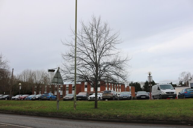
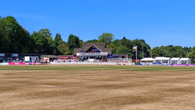
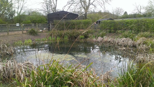
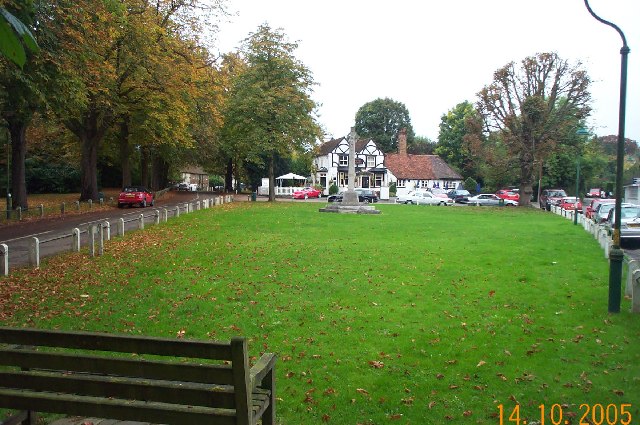
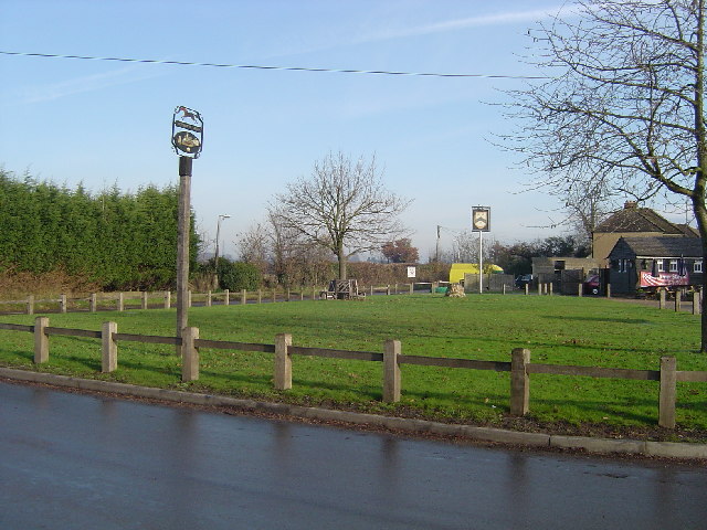
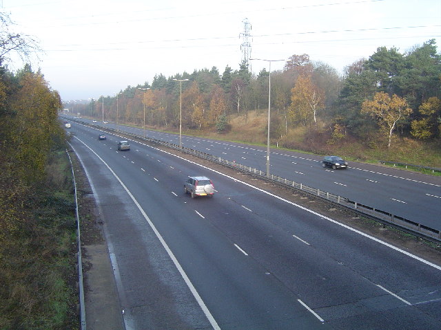
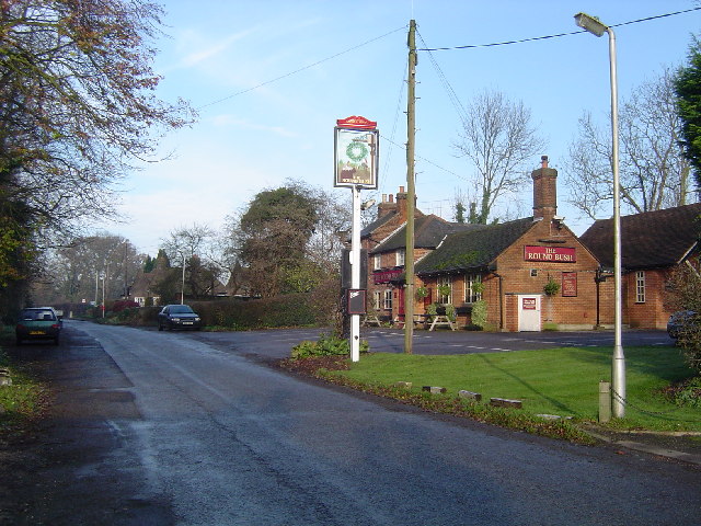
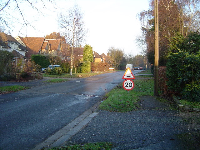
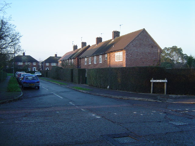
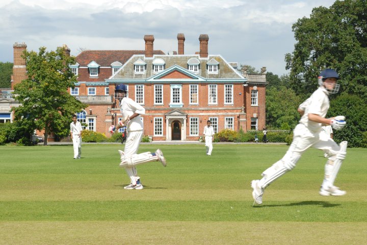
Boydens Hill Images

Images are sourced within 2km of 51.664118/-0.32671464 or Grid Reference TQ1597. Thanks to Geograph Open Source API. All images are credited.

The Mercure Hotel, Watford
Radlett Cricket Club How strange that the Ordnance Survey map makes no mention of this long-established club, which regularly hosts Middlesex matches.  And it seems that this is the first photo of the ground posted on Geograph.

Radlett Cricket Club was established in 1884.  This ground, Cobden Hill, has been the club's home since 1938 when it was bought by benefactor Miles Brunton on a 99-year lease.

Middlesex CCC have used Radlett as their main outground since 2013 and it is also their training ground.

From 1975 to 2013 the ground was used by Hertfordshire to host six Minor Counties matches and two MCCA Knockout Trophy matches.

To the south of the main pitch lies an additional nursery ground known as Salter's Field.
Radlett Cricket Club
How strange that the Ordnance Survey map makes no mention of this long-established club, which regularly hosts Middlesex matches. And it seems that this is the first photo of the ground posted on Geograph. Radlett Cricket Club was established in 1884. This ground, Cobden Hill, has been the club's home since 1938 when it was bought by benefactor Miles Brunton on a 99-year lease. Middlesex CCC have used Radlett as their main outground since 2013 and it is also their training ground. From 1975 to 2013 the ground was used by Hertfordshire to host six Minor Counties matches and two MCCA Knockout Trophy matches. To the south of the main pitch lies an additional nursery ground known as Salter's Field.
Pond, Aldenham Country Park
Letchmore Heath Viewed looking northwards across The Green towards the Three Horseshoes public house. Unfortunately the village pond was being dredged at the time of the photography and was surrounded by unsightly fencing.
Letchmore Heath
Viewed looking northwards across The Green towards the Three Horseshoes public house. Unfortunately the village pond was being dredged at the time of the photography and was surrounded by unsightly fencing.
Patchetts Green The village sign is the nearer of the two, the far one being for The Three Compasses Public House. View taken looking eastwards from Hilfield Lane towards Pegmire Lane.
Patchetts Green
The village sign is the nearer of the two, the far one being for The Three Compasses Public House. View taken looking eastwards from Hilfield Lane towards Pegmire Lane.
Elstree: Footpath to Hilfield Lane Viewed looking eastwards.
Elstree: Footpath to Hilfield Lane
Viewed looking eastwards.
M1 Motorway Viewed looking north westwards towards Junction 5 from the Sandy Lane overbridge.
M1 Motorway
Viewed looking north westwards towards Junction 5 from the Sandy Lane overbridge.
Round Bush Centre of this small village with the eponymous pub in view.
Round Bush
Centre of this small village with the eponymous pub in view.
Elstree: A41 Tylers Way (North Western Avenue) Viewed looking north westwards where it runs parallel to the M1 Motorway.
Elstree: A41 Tylers Way (North Western Avenue)
Viewed looking north westwards where it runs parallel to the M1 Motorway.
Elstree Aerodrome Until 1933, Aldenham House (now Haberdashers' Aske's Boys' School) in <a href="https://www.geograph.org.uk/gridref/TQ1696">TQ1696</a> was the residence of the Gibbs family. The estate was then turned into a country club, which included a polo ground. At the time, large numbers of the polo players had their own aircraft. The present aerodrome started as a grass field to cater for their needs, together with a small hangar. During the Second World War, the concrete runway was laid, together with the present hangars, and the aerodrome was used for modifying Wellington bombers. Today it is a busy general aviation airfield, including flight training and pleasure trips. Over 100 aircraft are based at the approximate 30 hectare site, and the single runway is about 650 metres long. This photo was taken at the western end of that runway. Curiously the OS mapping shows 2 public rights of way across the runway in two different locations. The registration of this aircraft was G-KCIN, and the pilot was practising landing and take-off manoeuvres. No doubt someone will be able to identify what type of aircraft it was...!

27 March 2007: A fellow Geographer informs me that the aircraft was a Piper PA-28-161 Warrior, and that it was re-registered from G-CDOX about a month previous to my photograph.
Elstree Aerodrome
Until 1933, Aldenham House (now Haberdashers' Aske's Boys' School) in TQ1696 was the residence of the Gibbs family. The estate was then turned into a country club, which included a polo ground. At the time, large numbers of the polo players had their own aircraft. The present aerodrome started as a grass field to cater for their needs, together with a small hangar. During the Second World War, the concrete runway was laid, together with the present hangars, and the aerodrome was used for modifying Wellington bombers. Today it is a busy general aviation airfield, including flight training and pleasure trips. Over 100 aircraft are based at the approximate 30 hectare site, and the single runway is about 650 metres long. This photo was taken at the western end of that runway. Curiously the OS mapping shows 2 public rights of way across the runway in two different locations. The registration of this aircraft was G-KCIN, and the pilot was practising landing and take-off manoeuvres. No doubt someone will be able to identify what type of aircraft it was...! 27 March 2007: A fellow Geographer informs me that the aircraft was a Piper PA-28-161 Warrior, and that it was re-registered from G-CDOX about a month previous to my photograph.
Radlett: The Ridgeway Viewed looking eastwards.
Radlett: The Ridgeway
Viewed looking eastwards.
Radlett: Kendals Close Viewed looking north from Battlers Green Drive.
Radlett: Kendals Close
Viewed looking north from Battlers Green Drive.
Radlett: Little Kendals Wood Viewed looking west along the footpath from Watling Street.
Radlett: Little Kendals Wood
Viewed looking west along the footpath from Watling Street.
Radlett: Watling Street The Roman builders of Watling Street appear to have had a slight wobble here as the road deviates slightly from a straight line in several places in this vicinity. Viewed looking north towards Radlett, this used to be the old A5 but has now been downgraded to the A5183.
Radlett: Watling Street
The Roman builders of Watling Street appear to have had a slight wobble here as the road deviates slightly from a straight line in several places in this vicinity. Viewed looking north towards Radlett, this used to be the old A5 but has now been downgraded to the A5183.
Radlett: Access road to Kendal Hall Farm Also a public footpath and viewed looking eastwards.
Radlett: Access road to Kendal Hall Farm
Also a public footpath and viewed looking eastwards.
M1 Motorway Viewed looking northwards from the new bridleway crossing at the A41 overbridge, between Junctions 4 and 5.
M1 Motorway
Viewed looking northwards from the new bridleway crossing at the A41 overbridge, between Junctions 4 and 5.
Letchmore Heath: The footpath to Patchetts  Green Viewed looking west towards Patchetts Green.
Letchmore Heath: The footpath to Patchetts Green
Viewed looking west towards Patchetts Green.
Letchmore Heath: The Pond Viewed looking northwards across The Pond towards the Three Horseshoes public house. The unsightly fencing mentioned in the earlier photo has now been removed.
Letchmore Heath: The Pond
Viewed looking northwards across The Pond towards the Three Horseshoes public house. The unsightly fencing mentioned in the earlier photo has now been removed.
Show me another place!

Boydens Hill is located at Grid Ref: TQ1597 (Lat: 51.664118, Lng: -0.32671464)

Administrative County: Hertfordshire

District: Hertsmere

Police Authority: Hertfordshire

What 3 Words

///songs.couches.secret. Near Radlett, Hertfordshire

Related Wikis

Aldenham School

Aldenham School is a co-educational independent school for pupils aged eleven to eighteen, located between Elstree and the village of Aldenham in Hertfordshire...

Bhaktivedanta Manor

Bhaktivedanta Manor is a Gaudiya Vaishnava Hindu temple set in the Hertfordshire countryside of England, in the village of Letchmore Heath near Watford...

Letchmore Heath

Letchmore Heath is a village in Hertfordshire in England, situated about three miles east of Watford. == General == The village, consisting of about 150...
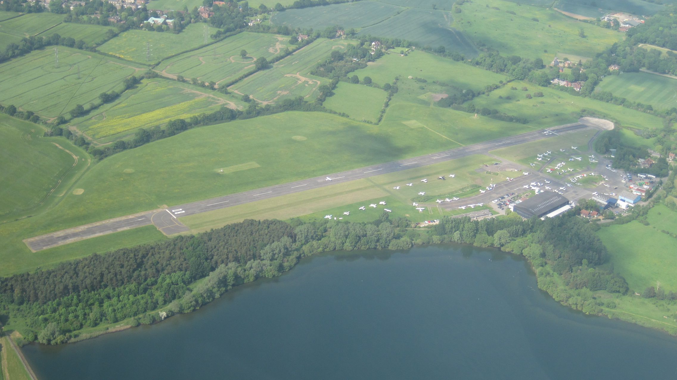
Elstree Aerodrome

London Elstree Aerodrome (ICAO: EGTR) is an operational general aviation aerodrome located in Elstree, and is situated 2.6 nautical miles (4.8 km; 3.0...
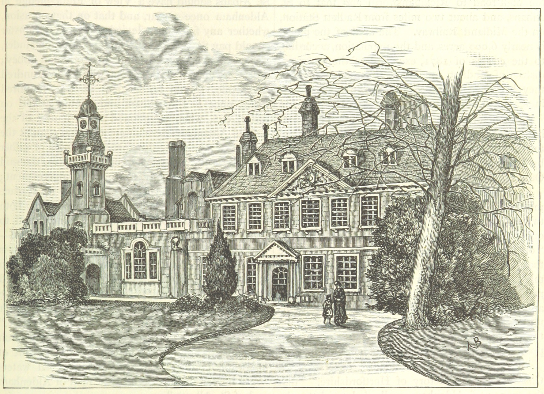
Aldenham House

Aldenham House is an English country house in Elstree, just south-east of Aldenham village and west of Borehamwood, Hertfordshire, England. It was the...
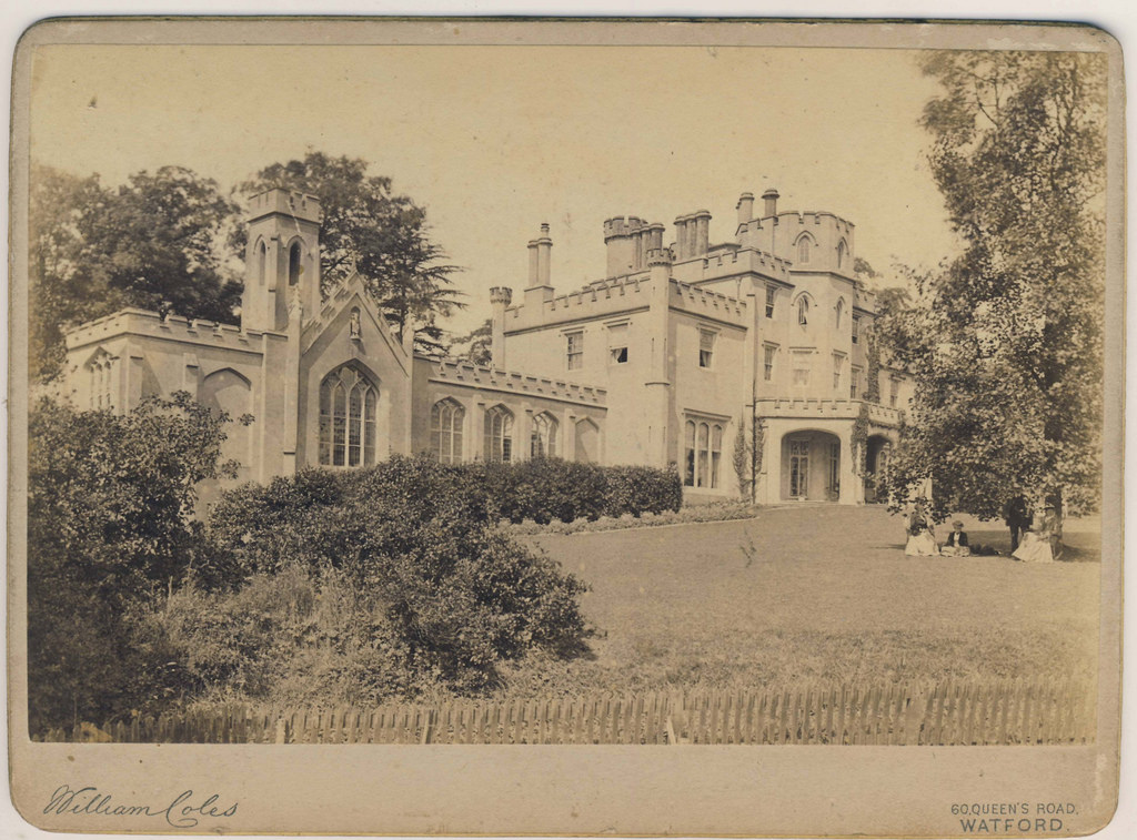
Hilfield Castle

Hilfield Castle, also Hilfield Lodge, is a country estate and house about 2 miles (3.2 km) east of Watford and 1 mile (1.6 km) southwest of Aldenham,...

Haberdashers' Boys' School

Haberdashers' Boys' School is a 4–18 boys public school in Elstree, Hertfordshire, England, and is a member of the Headmasters' and Headmistresses' Conference...

Haberdashers' Girls' School

Haberdashers' Girls' School is a private day school in Elstree, Hertfordshire. It is often referred to as "Habs" (or "Habs Girls" to distinguish it from...

Nearby Amenities

Located within 500m of 51.664118,-0.32671464
Power: tower
Lat/Long: 51.6604106/-0.328562
Power: tower
Lat/Long: 51.6610967/-0.3266455
Power: tower
Lat/Long: 51.6619633/-0.3242517
Power: tower
Lat/Long: 51.6630175/-0.3210147
Power: tower
Lat/Long: 51.6608664/-0.3231747
Power: tower
Lat/Long: 51.6603054/-0.326918
Power: tower
Lat/Long: 51.6667163/-0.328635
Power: tower
Lat/Long: 51.664342/-0.33231
Power: tower
Lat/Long: 51.665585/-0.3304806
Crossing
Crossing: marked
Crossing Island: no
Tactile Paving: yes
Lat/Long: 51.6627865/-0.3274984
Traffic Calming: cushion
Lat/Long: 51.6630039/-0.3282169
Traffic Calming: cushion
Lat/Long: 51.6626121/-0.326972
Parking
Capacity: 4
Fee: Bus Only
Parking: surface
Lat/Long: 51.6641559/-0.3299466
Barrier: lift_gate
Lat/Long: 51.6640254/-0.3297283
Barrier: lift_gate
Lat/Long: 51.6631178/-0.3275404
Information: guidepost
Tourism: information
Lat/Long: 51.6619508/-0.3249932
Barrier: kissing_gate
Lat/Long: 51.660897/-0.3269577
Direction: 175
Generator Method: photovoltaic
Generator Output Electricity: yes
Generator Solar Modules: 3
Generator Source: solar
Generator Type: solar_photovoltaic_panel
Location: roof
Power: generator
Lat/Long: 51.6627785/-0.3267994
Direction: 205
Generator Method: photovoltaic
Generator Output Electricity: yes
Generator Solar Modules: 2
Generator Source: solar
Generator Type: solar_photovoltaic_panel
Location: roof
Power: generator
Lat/Long: 51.6627188/-0.3268737
Crossing
Crossing: marked
Lat/Long: 51.6623198/-0.3267034
Give Way
Direction: backward
Lat/Long: 51.6623175/-0.3261653
The data included in this document is from www.openstreetmap.org. The data is made available under ODbL.

Have you been to Boydens Hill?

Leave your review of Boydens Hill below (or comments, questions and feedback).