Walesby Top
Hill, Mountain in Lincolnshire West Lindsey
England
Walesby Top
Walesby Top is a prominent hill located in the county of Lincolnshire, England. Situated near the village of Walesby, the hill stands at an elevation of approximately 168 meters (551 feet) above sea level, making it one of the highest points in the region.
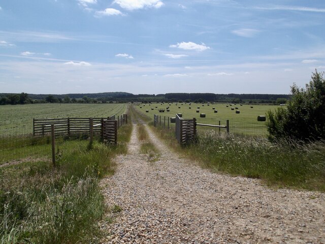
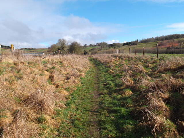
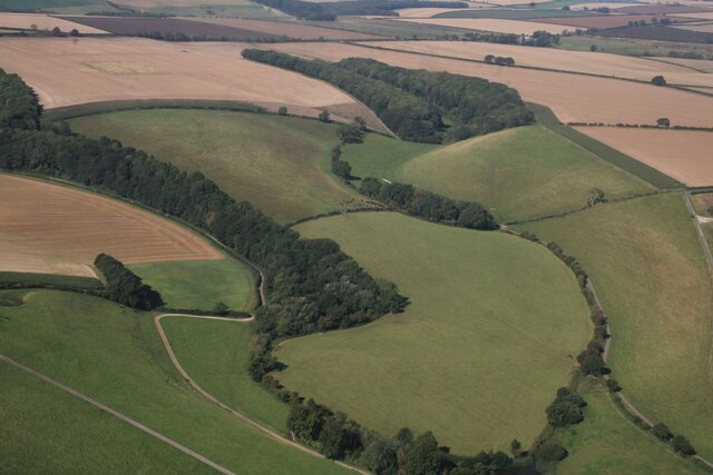
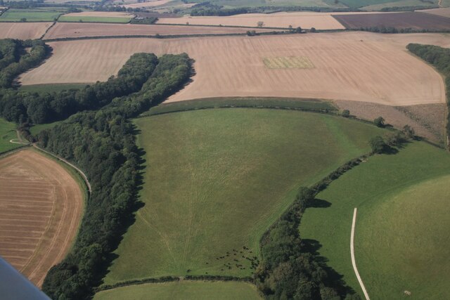
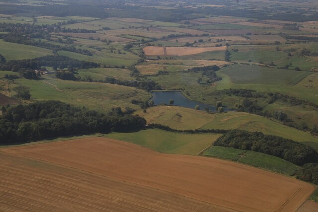
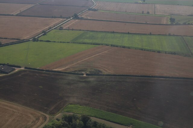
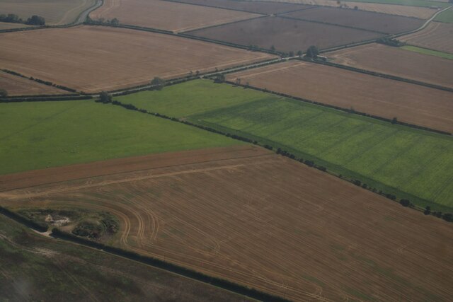
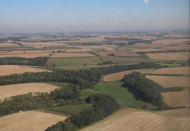
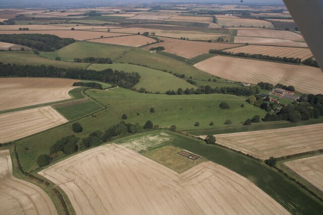
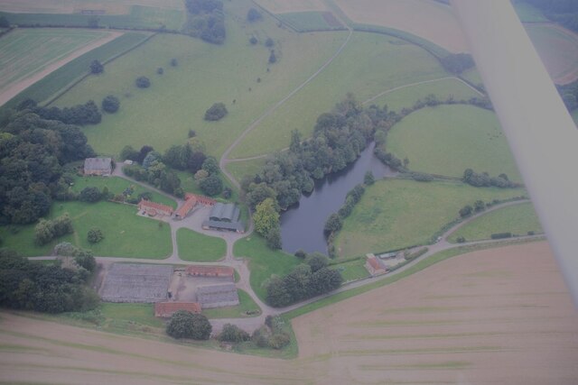
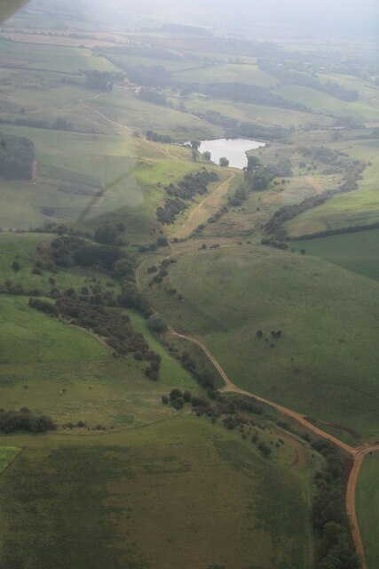
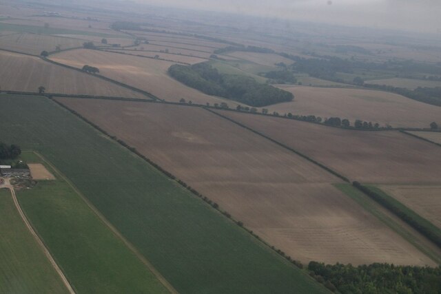
The hill offers breathtaking panoramic views of the surrounding countryside, with its commanding position providing visitors with a vantage point to admire the beauty of the Lincolnshire Wolds Area of Outstanding Natural Beauty. The rolling green hills, picturesque valleys, and charming villages can all be appreciated from this vantage point, making Walesby Top a popular destination for nature enthusiasts and hikers.
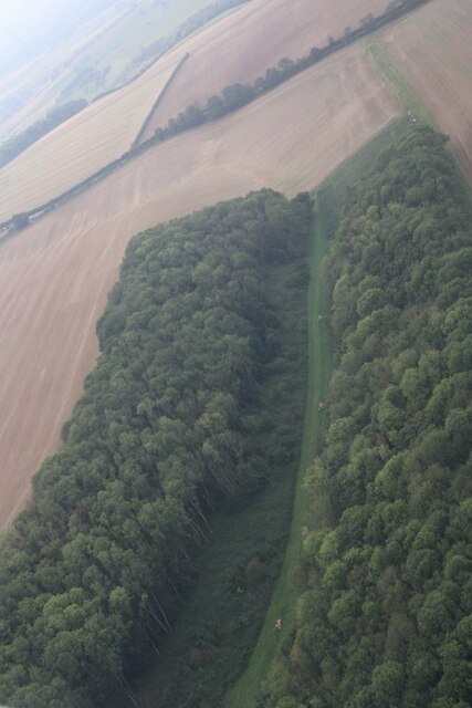
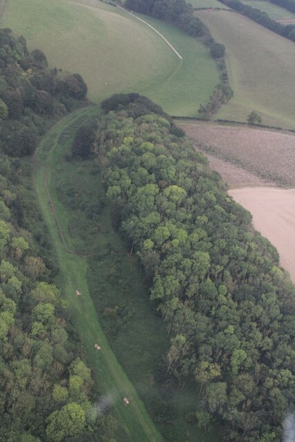
The hill itself is formed mainly of chalk and limestone, which contributes to the unique flora and fauna found in the area. The slopes are covered in grasses, wildflowers, and patches of woodland, providing a habitat for various plant and animal species.
Walesby Top is accessible by foot or by car, with a designated parking area available for visitors. There are well-maintained footpaths that lead to the summit, allowing hikers to navigate the hillside safely. The site also features a small picnic area, perfect for enjoying a packed lunch while taking in the breathtaking views.
Overall, Walesby Top is a natural gem in Lincolnshire, offering a peaceful and scenic escape for those seeking to immerse themselves in the tranquil beauty of the English countryside.
If you have any feedback on the listing, please let us know in the comments section below.
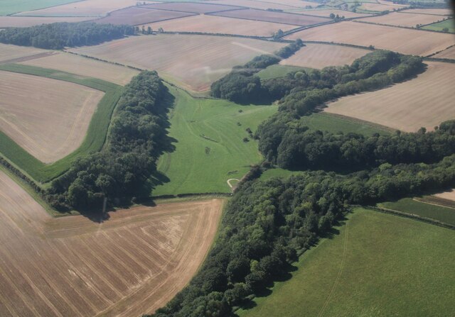
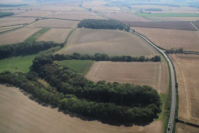
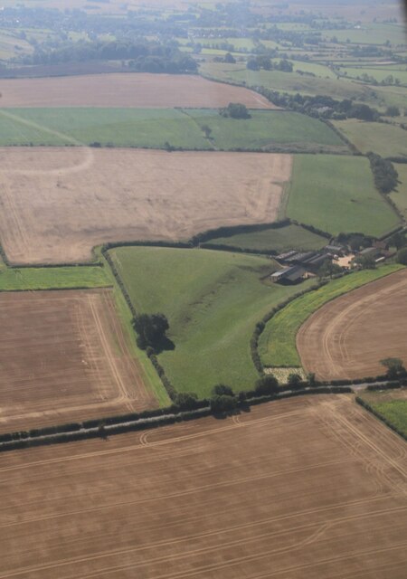
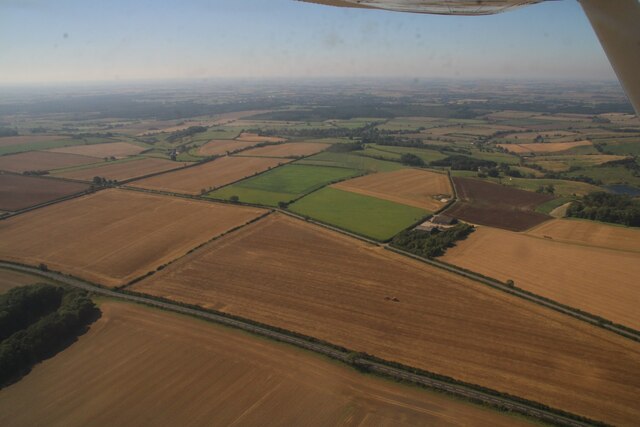
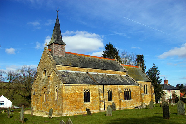
Walesby Top Images
Images are sourced within 2km of 53.422208/-0.26930715 or Grid Reference TF1593. Thanks to Geograph Open Source API. All images are credited.
Walesby Top is located at Grid Ref: TF1593 (Lat: 53.422208, Lng: -0.26930715)
Administrative County: Lincolnshire
District: West Lindsey
Police Authority: Lincolnshire
What 3 Words
///wreck.noon.graver. Near Market Rasen, Lincolnshire
Nearby Locations
Related Wikis

Parts of Lindsey
The Parts of Lindsey are a traditional division of Lincolnshire, England, covering the northern part of the county. The Isle of Axholme, which is on the...

Walesby, Lincolnshire
Walesby is a village and civil parish in the West Lindsey district of Lincolnshire, England. The population of the civil parish at the 2011 census was...

Tealby
Tealby is a village and civil parish in the West Lindsey district of Lincolnshire, England, situated on the edge of the Lincolnshire Wolds and 3 miles...

Stainton le Vale
Stainton le Vale is a village in the civil parish of Thoresway in the West Lindsey district of Lincolnshire, England. It is situated about 6 miles (9...
Normanby le Wold
Normanby le Wold is a village and civil parish in the West Lindsey district of Lincolnshire, England. It is in the Lincolnshire Wolds, an Area of Outstanding...

Orford Priory
Orford Priory was a priory of Premonstratensian canonesses in Stainton le Vale, Lincolnshire, England, and one of nine within the historical county. The...
Kirmond le Mire
Kirmond le Mire is a small village and civil parish in the West Lindsey district of Lincolnshire, England. It is situated on the B1203 road, 6 miles (10...
Thoresway
Thoresway is a village and civil parish in the West Lindsey district of Lincolnshire, England. It is 1.5 miles (2.4 km) west from the B1225 road, 4 miles...
Nearby Amenities
Located within 500m of 53.422208,-0.26930715Have you been to Walesby Top?
Leave your review of Walesby Top below (or comments, questions and feedback).