Conington Round Hill
Hill, Mountain in Huntingdonshire Huntingdonshire
England
Conington Round Hill

Conington Round Hill is a prominent natural feature located in the district of Huntingdonshire, in the county of Cambridgeshire, England. Standing at an elevation of 82 meters (269 feet) above sea level, it is considered the highest point in the area and provides stunning panoramic views of the surrounding countryside.
The hill is characterized by its rounded shape and is covered in grassland with scattered trees and shrubs. It is a popular spot for outdoor activities such as hiking, picnicking, and birdwatching. The hill is also home to a variety of wildlife, including birds of prey and small mammals.
Conington Round Hill has a rich history, with evidence of prehistoric settlements and burial mounds found in the vicinity. The hill is also known for its association with the nearby Conington Castle, a medieval fortification that once stood on its slopes.
Overall, Conington Round Hill is a picturesque and historically significant landmark in Huntingdonshire, attracting visitors from near and far to its peaceful and scenic surroundings.
If you have any feedback on the listing, please let us know in the comments section below.
Conington Round Hill Images
Images are sourced within 2km of 52.451511/-0.30867103 or Grid Reference TL1585. Thanks to Geograph Open Source API. All images are credited.


Conington Round Hill is located at Grid Ref: TL1585 (Lat: 52.451511, Lng: -0.30867103)
Administrative County: Cambridgeshire
District: Huntingdonshire
Police Authority: Cambridgeshire
What 3 Words
///typist.concluded.imparting. Near Sawtry, Cambridgeshire
Nearby Locations
Related Wikis
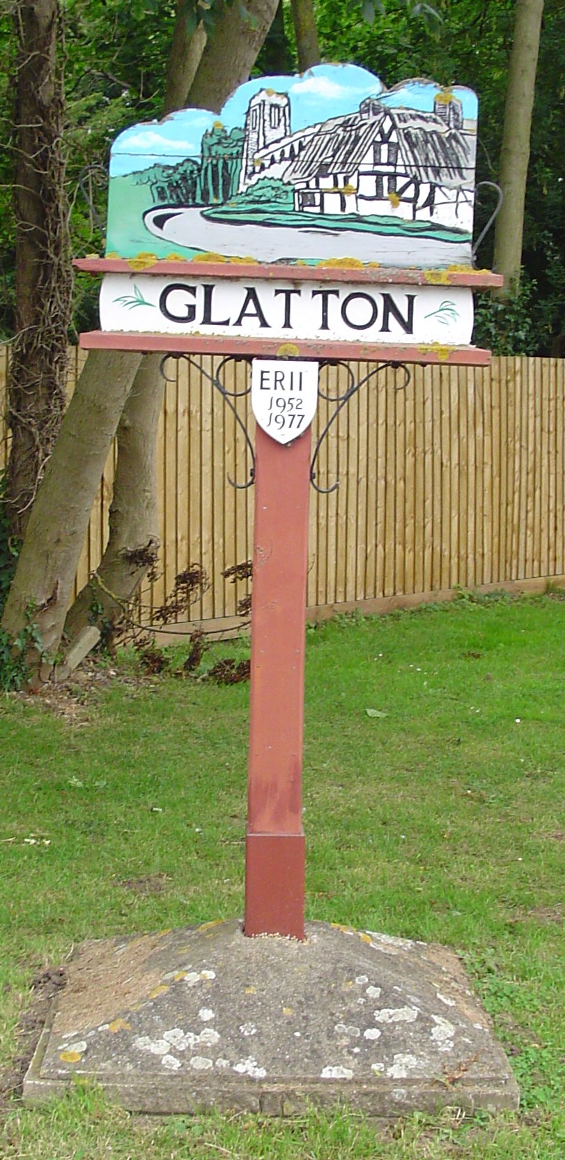
Glatton
Glatton is a village and civil parish in Cambridgeshire, England, some 8 miles (13 km) south-west of Peterborough, near the villages of Conington, Yaxley...

Sawtry
Sawtry () is a village and civil parish in Cambridgeshire, England. Sawtry lies approximately 8 miles (13 km) north of Huntingdon. Sawtry is situated within...

Church of All Saints, Sawtry
Church of All Saints is a Grade II listed building located in Sawtry, a village in Huntingdonshire, Cambridgeshire, England. It became a listed building...
Sawtry Village Academy
Sawtry Village Academy (formerly Sawtry Community College) is a mixed secondary school and sixth form located in the village of Sawtry, Cambridgeshire...
Nearby Amenities
Located within 500m of 52.451511,-0.30867103Have you been to Conington Round Hill?
Leave your review of Conington Round Hill below (or comments, questions and feedback).