Kirkbymoorside

Settlement in Yorkshire Ryedale

England

Kirkbymoorside

Snow covered Hagg Road Hagg Road.
Snow covered Hagg Road Credit: T Eyre

Kirkbymoorside is a charming market town located in the Ryedale district of North Yorkshire, England. Situated on the southern edge of the North York Moors National Park, it is surrounded by picturesque countryside and offers stunning views of the nearby moors.

With a population of around 3,000 residents, Kirkbymoorside has a close-knit and friendly community. The town's history dates back to at least the 11th century, and it still retains much of its medieval charm. The main street, Market Place, is lined with historic buildings, including the 18th-century Georgian-style Market Hall and the 13th-century All Saints' Church.

Kirkbymoorside is known for its thriving market, which takes place every Wednesday and has been a tradition since 1254. The market offers a variety of locally produced goods, including fresh produce, crafts, and clothing. Additionally, there are several independent shops, cafes, and traditional pubs in the town, providing a range of amenities for both residents and visitors.

Nature enthusiasts will find plenty to explore in Kirkbymoorside and its surrounding areas. The town is located near the popular walking trails of the North York Moors, including the famous Cleveland Way and the Tabular Hills Walk. There are also opportunities for cycling, horse riding, and birdwatching in the nearby countryside.

Overall, Kirkbymoorside is a delightful town that offers a combination of history, natural beauty, and a strong sense of community. Whether you are interested in exploring the local market, enjoying outdoor activities, or simply experiencing the tranquil atmosphere, Kirkbymoorside has something to offer everyone.

If you have any feedback on the listing, please let us know in the comments section below.

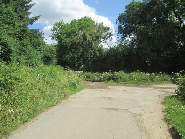
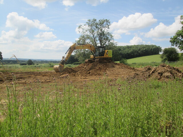
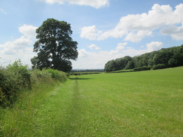
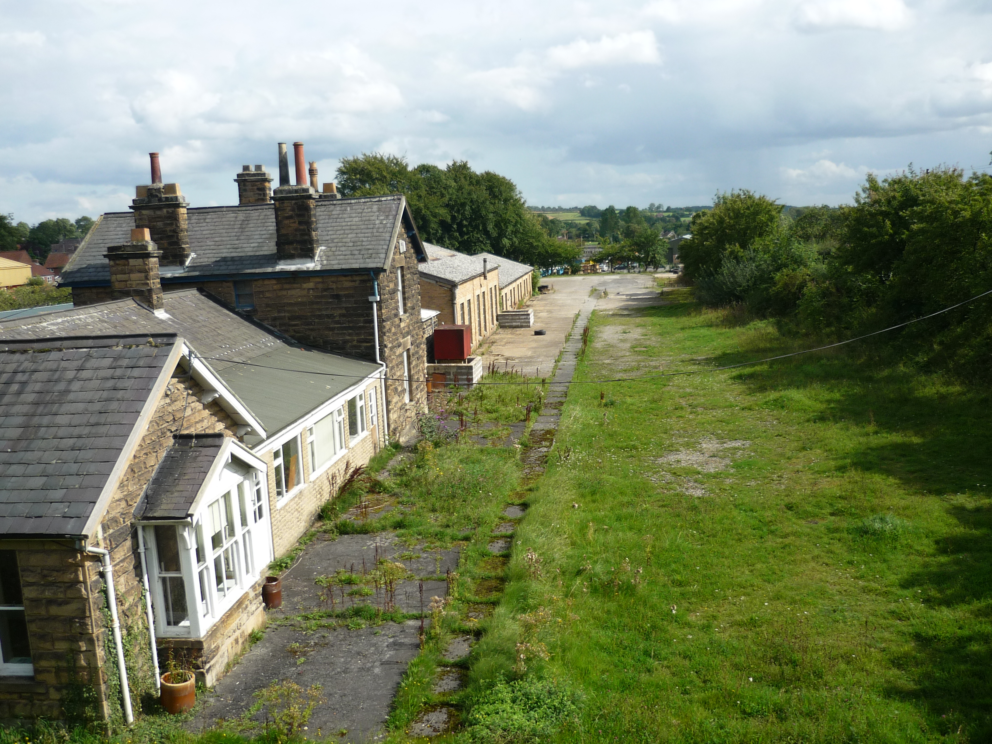
Kirkbymoorside Images

Images are sourced within 2km of 54.269518/-0.931172 or Grid Reference SE6986. Thanks to Geograph Open Source API. All images are credited.

Snow covered Hagg Road Hagg Road.
Snow covered Hagg Road
Hagg Road.
Back  of  Parks  Road  (track) Fields to the left forestry to the right
Back of Parks Road (track)
Fields to the left forestry to the right
Corner  on  Back  of  Parks  Road  (track)
Corner on Back of Parks Road (track)
Park  Lane  to  Back  of  Parks  Road  junction At Cockshot Plantation
Park Lane to Back of Parks Road junction
At Cockshot Plantation
Entrance  to  Low  Park  Farm  from  Park  Lane
Entrance to Low Park Farm from Park Lane
Low  Park  Cottages  Park  Lane
Low Park Cottages Park Lane
View  from  Park  Lane  over  Kirkbymoorside Footpath sign on right over field
View from Park Lane over Kirkbymoorside
Footpath sign on right over field
Stone  built  cottages  at  Dale  End At the top of the Market Place
Stone built cottages at Dale End
At the top of the Market Place
Houses  on  High  Market  Place The road on the right is Dale End
Houses on High Market Place
The road on the right is Dale End
War  Memorial  and  All  Saints  Parish  Church  Kirkbymoorside
War Memorial and All Saints Parish Church Kirkbymoorside
All  Saints  Parish  Church.  Kirkbymoorside
All Saints Parish Church. Kirkbymoorside
Another  field lost to urban sprawl Footpath diverted around fields, another housing estate
Another field lost to urban sprawl
Footpath diverted around fields, another housing estate
Keld  Head  Farm  over  field From diverted footpath around fields which are now building site
Keld Head Farm over field
From diverted footpath around fields which are now building site
Footpath  diverted  around  new  estate Follow the wire fencing around field edge
Footpath diverted around new estate
Follow the wire fencing around field edge
New  housing  estate  under  construction
New housing estate under construction
Green  field  construction  site
Green field construction site
Footpath  diverted  around  new  housing  estate Snapes Wood can be seen far left over sheep pasture
Footpath diverted around new housing estate
Snapes Wood can be seen far left over sheep pasture
Field  edge  footpath  through  sheep  pasture Snapes Wood to the right
Field edge footpath through sheep pasture
Snapes Wood to the right
Show me another place!

Kirkbymoorside is located at Grid Ref: SE6986 (Lat: 54.269518, Lng: -0.931172)

Division: North Riding

Administrative County: North Yorkshire

District: Ryedale

Police Authority: North Yorkshire

What 3 Words

///coarser.jots.stiff. Near Kirkbymoorside, North Yorkshire

Nearby Locations

Kirkbymoorside

Related Wikis

Kirkbymoorside

Kirkbymoorside () is a market town and civil parish in North Yorkshire, England. It is 25 miles (40.2 km) north of York. It is also midway between Pickering...

Kirbymoorside railway station

Kirbymoorside railway station served the market town of Kirkbymoorside in North Yorkshire, England from 1874 until 1964. == History == It was opened on...

Keldholme Priory

Keldholme Priory was a Cistercian nunnery in Kirkbymoorside, North Yorkshire, England. It was established by one of the Robert de Stutvilles in either...

Excalibur Pot

Excalibur Pot is a natural cave in the North York Moors area of England. It is the only major cave known in the North York Moors, and is formed within...

Nearby Amenities

Located within 500m of 54.269518,-0.931172
Kirkbymoorside
Is In: UK,Yorkshire,North Yorkshire
Place: town
Population: 3040
Lat/Long: 54.2705199/-0.9324661
Crossing
Crossing: traffic_signals
Crossing Ref: pelican
Lat/Long: 54.2667879/-0.9332769
Mini Roundabout
Lat/Long: 54.2712162/-0.9331331
Turning Circle
Lat/Long: 54.2709106/-0.9311252
Library
Kirkbymoorside Library
Addr City: York
Addr Postcode: YO62 6AT
Addr Street: High Market Place
Addr Suburb: Kirkbymoorside
Wikidata: Q45840502
Lat/Long: 54.2705404/-0.9328826
Crossing
Crossing: unmarked
Crossing Island: no
Kerb: lowered
Tactile Paving: yes
Lat/Long: 54.2703478/-0.9321966
Pub
Kings Head Hotel
Addr City: York
Addr Housenumber: 5
Addr Postcode: YO62 6AT
Addr Street: High Market Place
Addr Suburb: Kirkbymoorside
Website: http://www.thekingsheadkirkbymoorside.co.uk/
Wikidata: Q26442156
Lat/Long: 54.2703555/-0.9325643
Noexit: yes
Lat/Long: 54.2672772/-0.935669
Noexit: yes
Lat/Long: 54.2677876/-0.9288616
Turning Circle
Noexit: yes
Lat/Long: 54.2705877/-0.9386567
Noexit: yes
Lat/Long: 54.2686898/-0.9363024
Turning Circle
Lat/Long: 54.2680513/-0.9341992
Turning Circle
Noexit: yes
Lat/Long: 54.2698469/-0.9383673
Crossing
Crossing: unmarked
Crossing Island: no
Kerb: lowered
Tactile Paving: no
Lat/Long: 54.2661513/-0.9285245
Turning Circle
Lat/Long: 54.2720023/-0.9374802
Noexit: yes
Lat/Long: 54.2673397/-0.9248661
Noexit: yes
Lat/Long: 54.2675597/-0.9264406
Turning Circle
Lat/Long: 54.272169/-0.9359523
Noexit: yes
Lat/Long: 54.2687976/-0.9363942
Turning Circle
Noexit: yes
Lat/Long: 54.2697083/-0.9352287
Turning Circle
Lat/Long: 54.266379/-0.9285305
Turning Circle
Lat/Long: 54.2665042/-0.9342205
Noexit: yes
Lat/Long: 54.2682966/-0.9281101
Noexit: yes
Lat/Long: 54.2673629/-0.9312627
Noexit: yes
Lat/Long: 54.2688864/-0.9380091
Turning Circle
Noexit: yes
Lat/Long: 54.2703/-0.9343072
Turning Circle
Noexit: yes
Lat/Long: 54.2679589/-0.9243831
Turning Circle
Noexit: yes
Lat/Long: 54.2684888/-0.9245883
Post Office
Kirkbymoorside Post Office
Addr City: York
Addr Country: GB
Addr Housenumber: 25
Addr Postcode: YO62 6AA
Addr Street: Market Place
Addr Village: Kirkbymoorside
Opening Hours: Mo,We 08:30-17:30; Tu,Th,Fr 09:00-17:30; Sa 09:00-13:30
Ref Pol Id: 7888
Source: OS OpenData StreetView
Wheelchair: limited
Lat/Long: 54.2699673/-0.9321898
Place Of Worship
Quaker Meeting House
Denomination: quaker
Religion: christian
Source: OS OpenData StreetView
Lat/Long: 54.2684172/-0.9353405
Turning Circle
Noexit: yes
Lat/Long: 54.2708007/-0.9378793
Arts Centre
Vault Studio Space
Lat/Long: 54.2689336/-0.9304946
Cafe
The Corner Cafe
Lat/Long: 54.2697457/-0.9313757
Shop: charity
Lat/Long: 54.2700724/-0.9323589
Kirkby News
Shop: newsagent
Lat/Long: 54.270023/-0.93229
Something Special
Shop: gift
Lat/Long: 54.2701718/-0.9324509
Pharmacy
Towlers Chemist
Addr City: York
Addr Housenumber: 10
Addr Postcode: YO62 6DB
Addr Street: Market Place
Addr Suburb: Kirkbymoorside
Dispensing: yes
Lat/Long: 54.2695579/-0.9308924
Shop: alcohol
Lat/Long: 54.2695398/-0.9308831
Turning Circle
Noexit: yes
Lat/Long: 54.266881/-0.9291938
Noexit: yes
Lat/Long: 54.2674875/-0.9294845
Noexit: yes
Lat/Long: 54.2670905/-0.929394
Turning Circle
Lat/Long: 54.2673943/-0.9345143
Noexit: yes
Lat/Long: 54.2708642/-0.9365612
Bus Stop
Lat/Long: 54.2689649/-0.9307591
Bus Stop
Lat/Long: 54.2692914/-0.9307739
Noexit: yes
Lat/Long: 54.2678193/-0.9347174
Fuel
Ryedale Service Station
Addr City: Kirkbymoorside
Addr Postcode: YO62 6DG
Addr Street: New Road
Brand: Jet
Operator: Jet
Lat/Long: 54.2666664/-0.9316455
Noexit: yes
Lat/Long: 54.2718703/-0.9308111
Crossing
Crossing: unmarked
Crossing Island: no
Kerb: lowered
Tactile Paving: yes
Lat/Long: 54.2691168/-0.9305261
Pub
White Swan
Addr City: Kirkbymoorside
Addr Housenumber: 4
Addr Postcode: YO62 6AZ
Addr Street: Church Street
Beer Garden: yes
Cash Withdrawal: no
Payment Cash: only
Real Ale: 2 from Farmers, may vary
Wheelchair: no
Wheelchair Description: Steps at entrances
Wikidata: Q26602278
Lat/Long: 54.2696846/-0.9309099
Pub
Black Swan
Addr City: Kirkbymoorside
Addr Housenumber: 11
Addr Postcode: YO62 6AA
Addr Street: Market Place
Lat/Long: 54.2696186/-0.9316058
Bench
Lat/Long: 54.2690143/-0.930803
Telephone
Booth: K6
Covered: booth
Listed Status: Grade II
Operator: British Telecom
Survey Date: 27/08/2021
Lat/Long: 54.270029/-0.932055
Summit Bakery
Addr City: Kirkbymoorside
Addr Housenumber: 2
Addr Postcode: YO62 6DB
Addr Street: Market Place
Shop: bakery
Lat/Long: 54.269182/-0.9303926
Bicycle Parking
Bicycle Parking: stands
Capacity: 4
Covered: no
Lat/Long: 54.2690081/-0.9307601
Note: There is no chippy here any more - it's not really an obvious shop, just a house?
Old Amenity: fast_food
Old Name: Moorside Fisheries
Lat/Long: 54.2697505/-0.9308835
Moorside Store
Shop: greengrocer
Lat/Long: 54.2698757/-0.9320124
Noexit: yes
Lat/Long: 54.2675952/-0.9268359
Pub
George & Dragon
Accommodation: yes
Addr City: Kirkbymoorside
Addr Housenumber: 17
Addr Postcode: YO62 6AA
Addr Street: Market Place
Facebook: https://www.facebook.com/GDKirkbymoorside/
Floor Material: carpet
Food: yes
Outdoor Seating: yes
Phone: +44 1751 433334
Real Ale: 2 beers, may vary
Website: http://www.gdhotel-yorkshire.co.uk/home.html
Wheelchair: yes
Wheelchair Description: Flat entrance from rear
Lat/Long: 54.2697474/-0.9318434
Post Box
Collection Times: Mo-Fr 17:00; Sa 11:15
Operator: Royal Mail
Operator Wikidata: Q638098
Post Box Apertures: 2
Post Box Design: type_c
Post Box Type: pillar
Ref: YO62 307;YO62 9307
Royal Cypher: EIIR
Royal Cypher Wikidata: Q33102113
Lat/Long: 54.2700205/-0.9320679
Cafe
Penny Bank Cafe
Lat/Long: 54.2698115/-0.9319507
Shop: bakery
Lat/Long: 54.2696606/-0.9316856
Bicycle Parking
Bicycle Parking: stands
Capacity: 4
Covered: no
Lat/Long: 54.2694748/-0.9313743
Fast Food
Lemon Tree
Addr City: Kirkbymoorside
Addr Housenumber: 8
Addr Postcode: YO62 6DF
Addr Street: Piercy End
Cuisine: fish_and_chips
Lat/Long: 54.2688842/-0.9308644
Bus Stop
Bench: no
Bin: no
Shelter: no
Lat/Long: 54.2658896/-0.9269133
Crossing
Crossing: unmarked
Crossing Island: no
Kerb: lowered
Tactile Paving: no
Lat/Long: 54.2681334/-0.9281195
Post Box
Collection Times: Mo-Fr 09:00; Sa 07:00
Operator: Royal Mail
Post Box Type: pillar
Ref: YO62 286D
Royal Cypher: GR
Royal Cypher Wikidata: Q33102273
Lat/Long: 54.2660857/-0.9272479
Post Box
Collection Times: Mo-Fr 17:00; Sa 09:45
Operator: Royal Mail
Post Box Type: wall
Ref: YO62 402
Royal Cypher: GR
Royal Cypher Wikidata: Q33102273
Lat/Long: 54.2714803/-0.9355386
Crossing
Crossing: unmarked
Crossing Island: no
Kerb: normal
Tactile Paving: no
Lat/Long: 54.2682174/-0.9253317
Post Box
Operator: Royal Mail
Post Box Type: wall
Ref: YO62 431
Royal Cypher: GVIR
Royal Cypher Wikidata: Q33102169
Lat/Long: 54.2685418/-0.9360402
Community Centre
Moorside Room
Addr City: Kirkbymoorside
Addr Postcode: YO62 6AY
Addr Street: Church Street
Wheelchair: no
Lat/Long: 54.2699603/-0.9308951
Doctors
Kirkbymoorside Surgery
Addr City: Kirkbymoorside
Addr Postcode: YO62 6AR
Addr Street: Tinley Garth
Lat/Long: 54.269917/-0.9337683
Crossing
Crossing: unmarked
Crossing Island: no
Kerb: lowered
Tactile Paving: yes
Lat/Long: 54.2712867/-0.9330348
Restaurant
Manh Ley Chinese Takeaway
Cuisine: chinese
Lat/Long: 54.2698742/-0.931413
Shop: vacant
Lat/Long: 54.2699345/-0.9314934
Dentist
Alpha Dental Practice
Addr City: Kirkbymoorside
Addr Housenumber: 37
Addr Postcode: YO62 6AD
Addr Street: West End
Lat/Long: 54.2689421/-0.933673
Traffic Calming: hump
Lat/Long: 54.2673905/-0.9289402
Crossing
Crossing: unmarked
Crossing Island: no
Kerb: lowered
Tactile Paving: no
Lat/Long: 54.2659815/-0.9273798
Crossing
Crossing: unmarked
Crossing Island: no
Kerb: lowered
Tactile Paving: no
Lat/Long: 54.2667917/-0.9257081
Crossing
Crossing: unmarked
Crossing Island: no
Kerb: lowered
Tactile Paving: no
Lat/Long: 54.2672072/-0.9258865
Crossing
Crossing: unmarked
Crossing Island: no
Kerb: normal
Tactile Paving: no
Lat/Long: 54.2674038/-0.9247901
Crossing
Crossing: unmarked
Crossing Island: no
Kerb: normal
Tactile Paving: no
Lat/Long: 54.26786/-0.9249859
Crossing
Crossing: unmarked
Crossing Island: no
Kerb: normal
Tactile Paving: no
Lat/Long: 54.2680531/-0.9260856
Crossing
Crossing: unmarked
Crossing Island: no
Kerb: normal
Tactile Paving: no
Lat/Long: 54.2686064/-0.9276427
Crossing
Crossing: unmarked
Crossing Island: no
Kerb: lowered
Tactile Paving: no
Lat/Long: 54.2684384/-0.9275313
Noexit: yes
Lat/Long: 54.2680073/-0.9275434
Crossing
Crossing: unmarked
Crossing Island: no
Kerb: lowered
Tactile Paving: no
Lat/Long: 54.2659638/-0.9265497
Crossing
Crossing: unmarked
Crossing Island: no
Kerb: lowered
Tactile Paving: yes
Lat/Long: 54.2701426/-0.932248
Barrier: kissing_gate
Foot: yes
Lat/Long: 54.2709069/-0.9299648
Barrier: kissing_gate
Foot: yes
Lat/Long: 54.2719223/-0.9312006
Barrier: kissing_gate
Foot: yes
Lat/Long: 54.2729332/-0.9328447
Give Way
Direction: backward
Lat/Long: 54.2728577/-0.9332324
Crossing
Crossing: unmarked
Crossing Island: no
Kerb: lowered
Tactile Paving: yes
Lat/Long: 54.2700024/-0.9317531
Crossing
Crossing: unmarked
Crossing Island: no
Kerb: lowered
Tactile Paving: yes
Lat/Long: 54.2665003/-0.9311672
Crossing
Crossing: unmarked
Crossing Island: no
Kerb: lowered
Tactile Paving: yes
Lat/Long: 54.2712355/-0.9333196
Crossing
Crossing: unmarked
Crossing Island: no
Kerb: lowered
Tactile Paving: yes
Lat/Long: 54.2698834/-0.9308854
Crossing
Crossing: unmarked
Crossing Island: no
Kerb: lowered
Tactile Paving: yes
Lat/Long: 54.269473/-0.9313059
Crossing
Crossing: unmarked
Crossing Island: no
Kerb: normal
Note: No formal crossing here, but used locally and needed to link sidewalks to roads
Tactile Paving: no
Lat/Long: 54.2663314/-0.9300484
Noexit: yes
Lat/Long: 54.2659689/-0.9280591
Crossing
Crossing: unmarked
Crossing Island: no
Kerb: lowered
Tactile Paving: yes
Lat/Long: 54.2661428/-0.9292164
Crossing
Crossing: unmarked
Crossing Island: no
Kerb: lowered
Tactile Paving: no
Lat/Long: 54.267011/-0.9282382
Noexit: yes
Lat/Long: 54.2694197/-0.9303416
Noexit: yes
Lat/Long: 54.2694284/-0.9304375
Through the Looking Glass
Shop: antiques
Lat/Long: 54.2690877/-0.9304382
Barrier: kissing_gate
Foot: yes
Lat/Long: 54.2705475/-0.926207
Fixme: continue
Note: Actually this may just have historically joined sutheast
Lat/Long: 54.2715507/-0.9271632
Barrier: kissing_gate
Foot: yes
Lat/Long: 54.269603/-0.9277318
Fast Food
J.B.Spice
Cuisine: indian;pizza
Lat/Long: 54.2696163/-0.9309196
Entrance: main
Lat/Long: 54.26967/-0.9309365
Addr Housenumber: 4
Addr Street: Kirk Forge
Lat/Long: 54.268651/-0.9296389
Addr Housenumber: 3
Addr Street: Kirk Forge
Lat/Long: 54.2686413/-0.9296624
Addr Housenumber: 2
Addr Street: Kirk Forge
Lat/Long: 54.2686299/-0.9296878
Addr Housenumber: 1
Addr Street: Kirk Forge
Lat/Long: 54.2686178/-0.9297187
Addr Housenumber: 6
Addr Street: Kirk Forge
Lat/Long: 54.2686581/-0.9300875
Addr Housenumber: 5
Addr Street: Kirk Forge
Lat/Long: 54.2686577/-0.930117
Back2Health
Healthcare: altenative
Lat/Long: 54.2686373/-0.9305093
The Barber Shop
Male: yes
Shop: hairdresser
Lat/Long: 54.2686828/-0.9305093
Spar
Brand: Spar
Brand Wikidata: Q610492
Brand Wikipedia: en:Spar (retailer)
Shop: convenience
Website: https://www.spar.co.uk/store-locator/hal19890-spar-kirbymoorside/
Lat/Long: 54.2700933/-0.9315795
Defibrillator
Access: yes
Defibrillator Location: outside Moorside Room, Church Street, Kirkbymoorside
Emergency: defibrillator
Indoor: no
Opening Hours: 24/7
Lat/Long: 54.269928/-0.9309136
Crossing
Crossing: unmarked
Crossing Island: no
Kerb: lowered
Tactile Paving: yes
Lat/Long: 54.2699273/-0.9332184
Bus Stop
Naptan AtcoCode: 3200YNA01125
Naptan NaptanCode: 32001125
Lat/Long: 54.2675933/-0.9306058
CW Strickland
Shop: electronics
Lat/Long: 54.2673552/-0.9305106
Entrance: main
Lat/Long: 54.2675856/-0.9298783
Entrance: main
Lat/Long: 54.2688088/-0.9300808
Fast Food
Star Fast Food
Lat/Long: 54.2667992/-0.9302853
Description: Green vertical public footpath sign
Hiking: yes
Information: guidepost
Tourism: information
Lat/Long: 54.2693908/-0.9286746
Crossing
Crossing: unmarked
Crossing Island: no
Kerb: normal
Tactile Paving: no
Lat/Long: 54.2683058/-0.925206
Bench
Lat/Long: 54.2695269/-0.9235702
Bench
Backrest: yes
Lat/Long: 54.2736008/-0.9313598
Bench
Lat/Long: 54.2712608/-0.9360748
Barrier: kissing_gate
Lat/Long: 54.2738232/-0.9305708
Barrier: kissing_gate
Lat/Long: 54.2712206/-0.9283951
Bench
Lat/Long: 54.2711417/-0.9270336
Turning Circle
Noexit: yes
Lat/Long: 54.2708193/-0.9364126
Man Made: tower
Tower Type: hose
Lat/Long: 54.2665499/-0.9288908
Direction: SSE
Generator Method: photovoltaic
Generator Output Electricity: yes
Generator Solar Modules: 6
Generator Source: solar
Generator Type: solar_photovoltaic_panel
Location: roof
Power: generator
Lat/Long: 54.2693708/-0.9388696
Direction: SSE
Generator Method: photovoltaic
Generator Output Electricity: yes
Generator Solar Modules: 6
Generator Source: solar
Generator Type: solar_photovoltaic_panel
Location: roof
Power: generator
Lat/Long: 54.2693996/-0.938728
Barrier: yes
Fixme: it is necessary to clarify the type of barrier, it is not possible to reliably determine from satellite images
Lat/Long: 54.2653651/-0.9316026
Kirbymoorside
Historic Railway: station
Railway: site
Wikidata: Q6414977
Wikipedia: en:Kirbymoorside railway station
Lat/Long: 54.2655744/-0.9299291
Man Made: flagpole
Lat/Long: 54.2694445/-0.9371658
The data included in this document is from www.openstreetmap.org. The data is made available under ODbL.

Have you been to Kirkbymoorside?

Leave your review of Kirkbymoorside below (or comments, questions and feedback).