Tenants Hill

Hill, Mountain in Sussex Worthing

England

Tenants Hill

Cattle in Canada Bottom - view to the NW This is a cross-grid shot. The camera was in the square to the east.
Cattle in Canada Bottom - view to the NW Credit: Ian Cunliffe

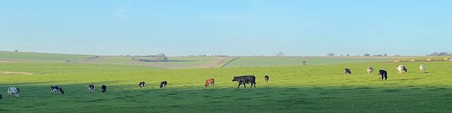
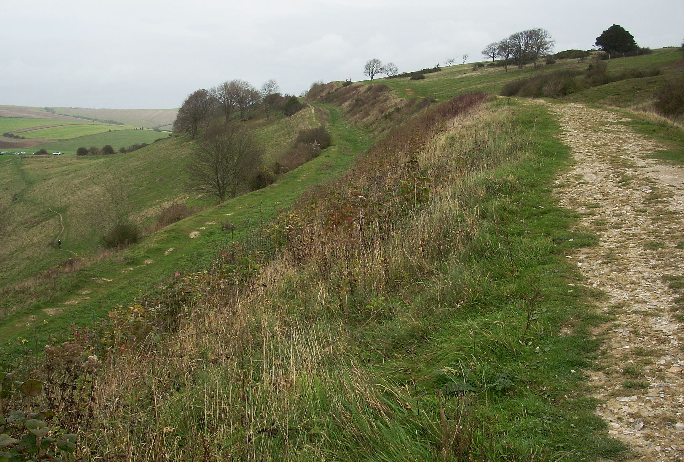
Tenants Hill, located in Sussex, England, is a prominent hill/mountain that stands at an elevation of approximately 217 meters (712 feet). It is part of the South Downs range and is situated within the South Downs National Park, offering breathtaking views of the surrounding countryside.

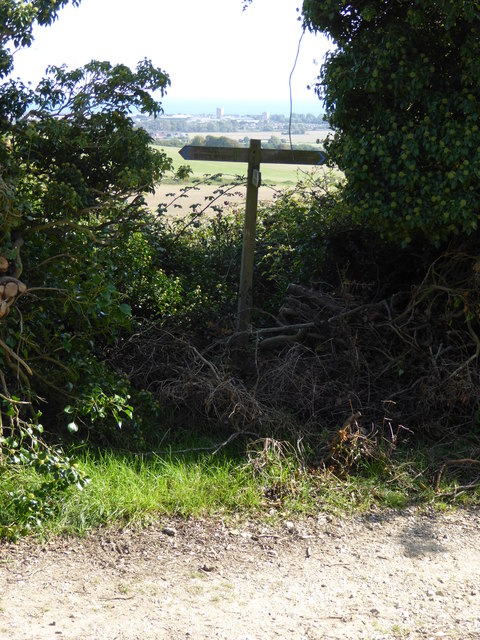
The hill is named after a local landowner and is covered in lush green vegetation, predominantly consisting of grasses, heather, and shrubs. It is a popular destination for hikers, nature enthusiasts, and those seeking outdoor activities. Several well-marked trails traverse the hill, providing visitors with opportunities for leisurely walks or more challenging hikes.

Tenants Hill is known for its diverse wildlife, including various bird species, such as skylarks and meadow pipits, which can often be heard singing as they soar above the hill. It is also home to several species of butterflies, bees, and other insects that thrive in its favorable habitat.

During the spring and summer months, the hill is adorned with vibrant wildflowers, creating a picturesque landscape. The changing colors of the vegetation throughout the seasons make it an attractive spot for photographers and artists alike.

At the summit of Tenants Hill, visitors can enjoy panoramic views of the surrounding Sussex countryside, including rolling hills, farmlands, and distant villages. On clear days, it is even possible to catch a glimpse of the English Channel in the distance.

Overall, Tenants Hill offers a serene and idyllic natural setting, allowing visitors to immerse themselves in the beauty of the Sussex landscape while enjoying outdoor activities and marveling at the wonders of nature.

If you have any feedback on the listing, please let us know in the comments section below.
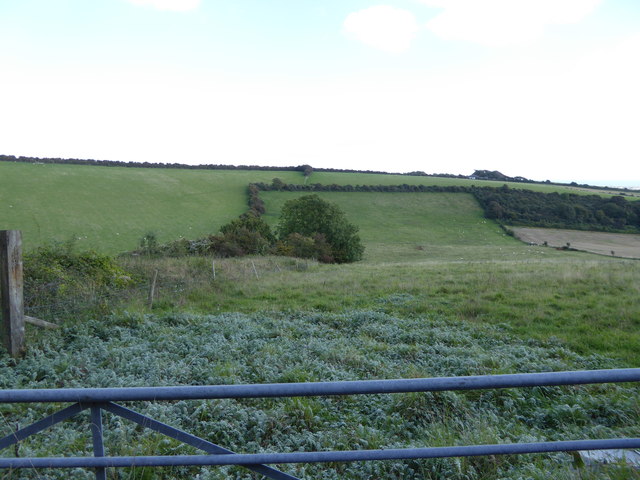
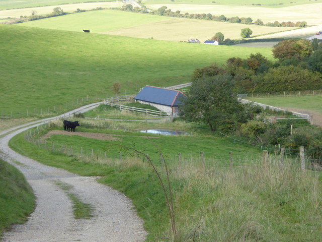
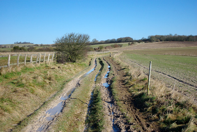
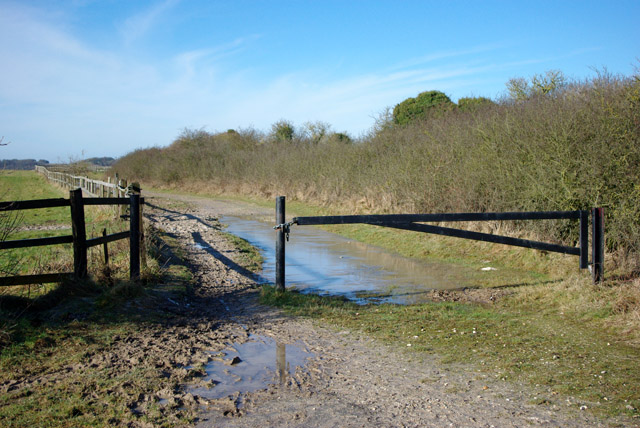
Tenants Hill Images

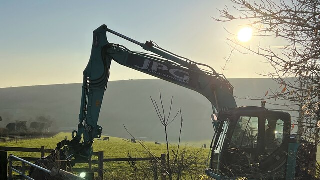
Images are sourced within 2km of 50.859695/-0.37421519 or Grid Reference TQ1407. Thanks to Geograph Open Source API. All images are credited.

Cattle in Canada Bottom - view to the NW This is a cross-grid shot. The camera was in the square to the east.
Cattle in Canada Bottom - view to the NW
This is a cross-grid shot. The camera was in the square to the east.
Mechanical digger - north of Lychpole Farm
Steps to building on reservoir
Sign at footpath junction on Charmandean Lane This footpath has not yet made it onto OS mapping - see also <a href="https://www.geograph.org.uk/photo/4675953">TQ1405 : Looking north on Charmandean Lane</a>.
Sign at footpath junction on Charmandean Lane
This footpath has not yet made it onto OS mapping - see also TQ1405 : Looking north on Charmandean Lane.
Looking east across downland valley
Coombe Barn This was taken from the path junction to the south.
See also <a title="https://www.geograph.org.uk/photo/1327759m" href="https://www.geograph.org.uk/photo/1327759m">Link</a> 2009.
Coombe Barn
This was taken from the path junction to the south. See also Link 2009.
The South Downs and the south coast from the air Looking over Worthing from a Paris bound flight from Glasgow. Selsey Bill, beyond Bognor Regis, can be seen to the top, right of the photo.
The South Downs and the south coast from the air
Looking over Worthing from a Paris bound flight from Glasgow. Selsey Bill, beyond Bognor Regis, can be seen to the top, right of the photo.
Cissbury Ring
Cissbury Ring
Riding on the downs above Findon There are some horse establishments at the bottom of the hill.
Riding on the downs above Findon
There are some horse establishments at the bottom of the hill.
Stable muck Probably hauled up from stables at Findon.
Stable muck
Probably hauled up from stables at Findon.
Downs above Findon The communications mast is on the other side of the valley used by the A24.
Downs above Findon
The communications mast is on the other side of the valley used by the A24.
Bridleway north from Cissbury Ring The clay with flints capping parts of the downs can get very messy in winter.
Bridleway north from Cissbury Ring
The clay with flints capping parts of the downs can get very messy in winter.
Barrier on bridleway At a junction of public ways, the other are byways.
Barrier on bridleway
At a junction of public ways, the other are byways.
Track to Findon Park Farm The sign says that it is not a public right of way, which is quite true.
Track to Findon Park Farm
The sign says that it is not a public right of way, which is quite true.
Byway towards Steyning The clay with flints capping parts of the downs can get very messy in winter.
Byway towards Steyning
The clay with flints capping parts of the downs can get very messy in winter.
Stepped field levels, South Downs The field beyond the bushy bank has a higher level, and has a mapped site of an Iron Age farmstead, but there is nothing obvious to see.
Stepped field levels, South Downs
The field beyond the bushy bank has a higher level, and has a mapped site of an Iron Age farmstead, but there is nothing obvious to see.
Clay with flints soil, South Downs The weathered top of the chalk downs.
Clay with flints soil, South Downs
The weathered top of the chalk downs.
Byway towards Findon The mapped route of the byway deviates from the track on the right to skirt the near manured small field to the left, but they meet up again at the bottom of the field behind the camera.
Byway towards Findon
The mapped route of the byway deviates from the track on the right to skirt the near manured small field to the left, but they meet up again at the bottom of the field behind the camera.
Show me another place!

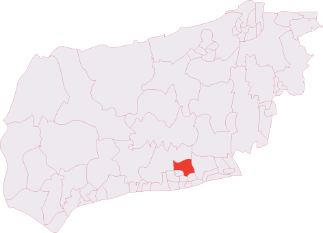
Tenants Hill is located at Grid Ref: TQ1407 (Lat: 50.859695, Lng: -0.37421519)

Administrative County: West Sussex

District: Worthing

Police Authority: Sussex

What 3 Words

///factories.woof.item. Near Findon, West Sussex

Nearby Locations

Tenants Hill Deep Bottom

Related Wikis

Cissbury Ring

Cissbury Ring is an 84.2-hectare (208-acre) biological Site of Special Scientific Interest north of Worthing in West Sussex. It is owned by the National...

Worthing Downland Estate

The Worthing Downland Estate, Worthing Downs or Worthing Downland, is an area of land in the South Downs National Park in West Sussex, England, close to...

Cissbury (electoral division)

Cissbury is an electoral division of West Sussex in the United Kingdom, and returns one member to sit on West Sussex County Council. == Extent == The division...

Bohunt School Worthing

Bohunt School Worthing (BSW) is an 11–16 mixed secondary school with academy status in Worthing, West Sussex, England. It was established in September...

Findon Valley

Findon Valley is a neighbourhood of Worthing, in the borough of Worthing in West Sussex, England. It lies on the A24 road 2.9 miles (4.7 km) north of the...

Worthing Golf Club

Worthing Golf Club is a golf club on the South Downs at Worthing, England. Located close to the Iron Age hill fort of Cissbury Ring in the new South Downs...

Worthing United F.C.

Worthing United Football Club is a football club based in Worthing, England. Established in 1988 by a merger of Wigmore Athletic and Southdown, they are...

Findon, West Sussex

Findon is a semi-rural clustered village and civil parish in the Arun District of West Sussex, England, 4 miles (6.4 km) north of Worthing. == Governance... ==

Nearby Amenities

Located within 500m of 50.859695,-0.37421519
Deep Bottom
Place: locality
Source: OS_OpenData_StreetView
Lat/Long: 50.8565951/-0.3776551
The data included in this document is from www.openstreetmap.org. The data is made available under ODbL.

Have you been to Tenants Hill?

Leave your review of Tenants Hill below (or comments, questions and feedback).