Beacon Hill

Hill, Mountain in Yorkshire Scarborough

England

Beacon Hill

Entrance  to  Southfield  Farm  on  A165
Entrance to Southfield Farm on A165 Credit: Martin Dawes

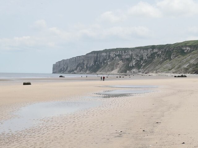
Beacon Hill is a prominent hill located in the county of Yorkshire, England. Rising to an elevation of approximately 282 meters (925 feet), it is one of the most notable landmarks in the region. Situated near the village of Monks Cross, Beacon Hill offers breathtaking panoramic views of the surrounding countryside.

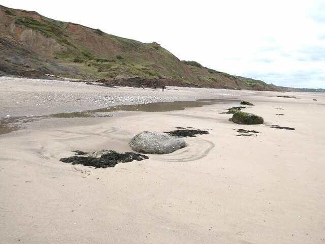
The hill is composed mainly of sandstone and is covered with a variety of vegetation, including heather, grasses, and occasional patches of woodland. Its slopes are moderately steep, making it a popular destination for outdoor activities such as hiking, walking, and wildlife observation.

One of the highlights of Beacon Hill is the presence of an ancient beacon site at its summit. Historically, this spot was used as a signaling point during times of danger or invasion, with fires being lit to warn nearby settlements. Today, visitors can still see the remnants of the beacon structure and learn about its historical significance.

The hill is also home to a diversity of wildlife, including several bird species, such as kestrels, peregrine falcons, and owls. Additionally, mammals like rabbits, foxes, and deer can be spotted in the area.

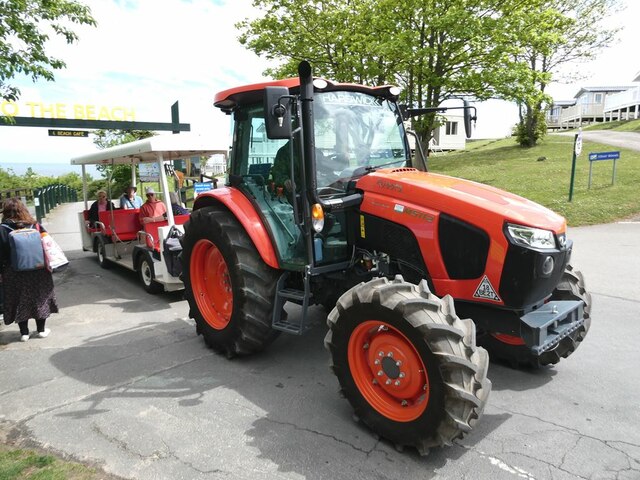
Access to Beacon Hill is relatively easy, with a network of footpaths leading to the summit. The hill attracts a mix of locals and tourists who appreciate the natural beauty and tranquility it offers. Whether it is for a leisurely stroll or a more challenging hike, Beacon Hill provides an opportunity to connect with nature and enjoy the picturesque Yorkshire countryside.

If you have any feedback on the listing, please let us know in the comments section below.
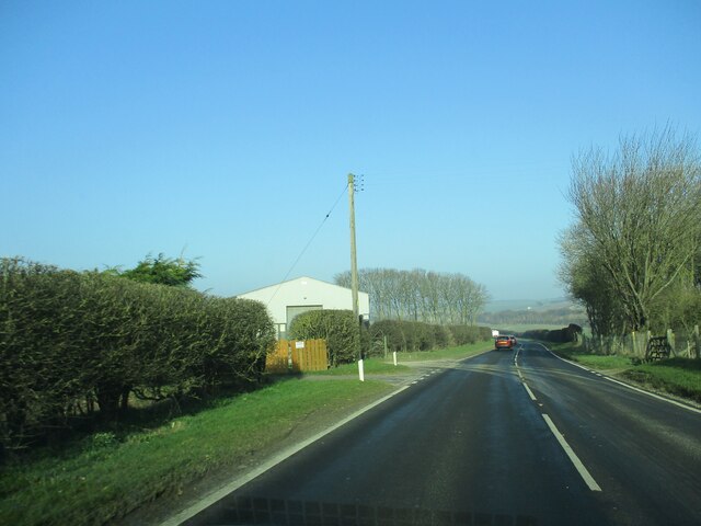
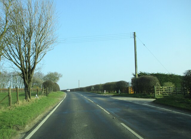
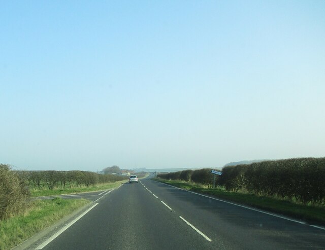
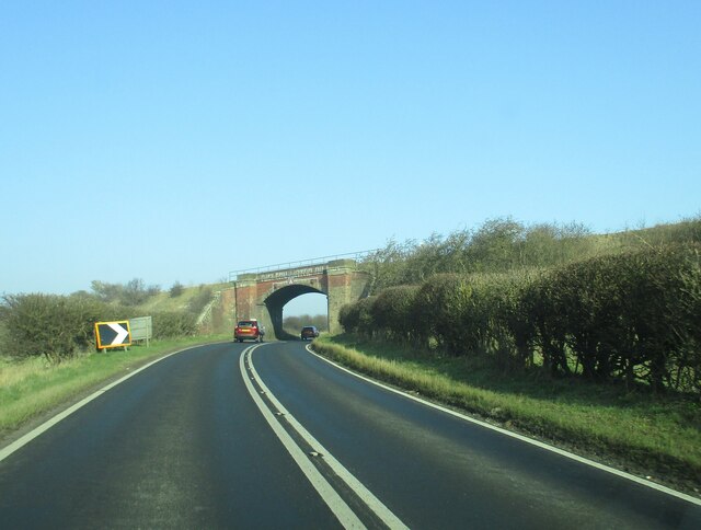
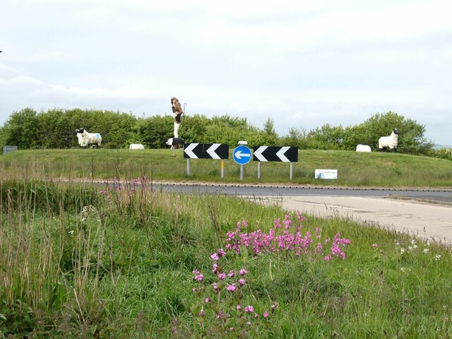
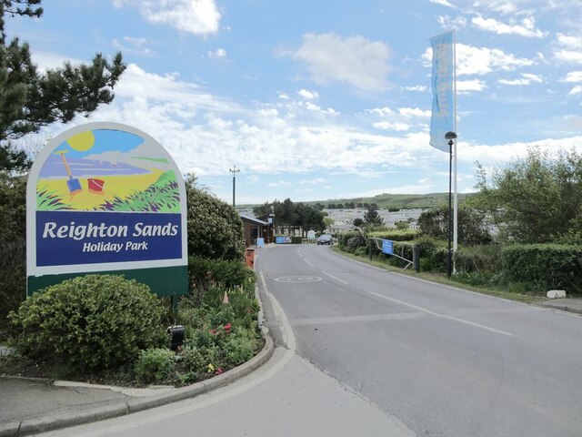
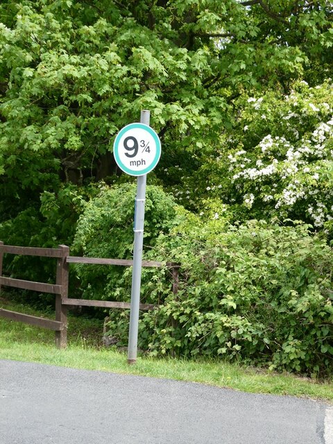
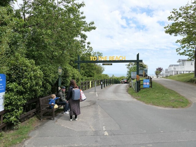
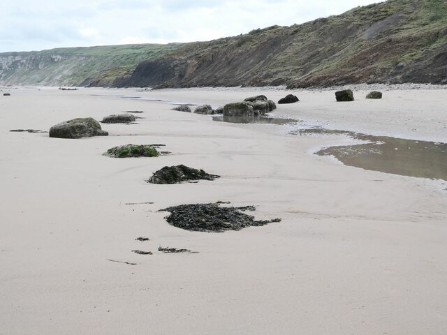
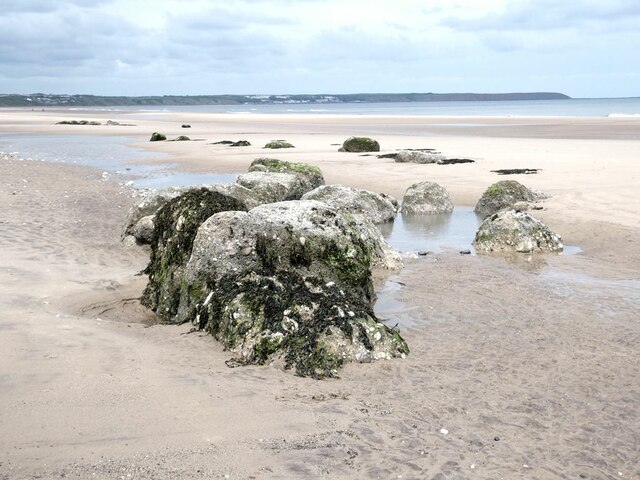
Beacon Hill Images

Images are sourced within 2km of 54.157093/-0.2524185 or Grid Reference TA1474. Thanks to Geograph Open Source API. All images are credited.

Entrance  to  Southfield  Farm  on  A165
Entrance to Southfield Farm on A165
Access  to  Southfield  Farm  on  the  right A165 going south toward Bridlington
Access to Southfield Farm on the right
A165 going south toward Bridlington
Junction  of  New  Road  and  A165 When it was a "New" road I dont know, but it goes in a straight line north to Speeton village
Junction of New Road and A165
When it was a "New" road I dont know, but it goes in a straight line north to Speeton village
Hull  to  Scarborough  line  bridges  A165
Hull to Scarborough line bridges A165
The Dotterel Shepherd and his flock Sculptures on the roundabout at the junction of the B1229 with the A165.
The Dotterel Shepherd and his flock
Sculptures on the roundabout at the junction of the B1229 with the A165.
Strollers on Reighton Sands In the distance, the vertical face of the chalk Speeton Cliffs <a href="https://www.geograph.org.uk/gridref/TA1675">TA1675</a>.
Strollers on Reighton Sands
In the distance, the vertical face of the chalk Speeton Cliffs TA1675.
Strollers on Reighton Sands In the foreground the remains of some concrete wartime structure now a long way from the cliff from which it must have fallen. In the distance, the beach gives way to the vertical face of the chalk Speeton Cliffs <a href="https://www.geograph.org.uk/gridref/TA1675">TA1675</a>.
Strollers on Reighton Sands
In the foreground the remains of some concrete wartime structure now a long way from the cliff from which it must have fallen. In the distance, the beach gives way to the vertical face of the chalk Speeton Cliffs TA1675.
Reighton Sands In the foreground the remains of some concrete wartime structure now a long way from the cliff from which it must have fallen.
Reighton Sands
In the foreground the remains of some concrete wartime structure now a long way from the cliff from which it must have fallen.
Reighton Sands In the foreground the remains of some concrete wartime structure now a long way from the cliff from which it must have fallen. Filey Brigg <a href="https://www.geograph.org.uk/gridref/TA1381">TA1381</a> on the horizon.
Reighton Sands
In the foreground the remains of some concrete wartime structure now a long way from the cliff from which it must have fallen. Filey Brigg TA1381 on the horizon.
Entrance to Reighton Sands Huge holiday park on the clifftop.
Entrance to Reighton Sands
Huge holiday park on the clifftop.
A very precisely-defined speed limit In Reighton Sands Holiday Park.
A very precisely-defined speed limit
In Reighton Sands Holiday Park.
Waiting for a lift A tractor and trailer is available to convey holiday-makers at Reighton Sands Holiday Park down the steep bank to the beach.
Waiting for a lift
A tractor and trailer is available to convey holiday-makers at Reighton Sands Holiday Park down the steep bank to the beach.
The tractor bus at Reighton Sands Holiday Park A tractor and trailer is available to convey holiday-makers down (and up!) the steep bank to the beach.
The tractor bus at Reighton Sands Holiday Park
A tractor and trailer is available to convey holiday-makers down (and up!) the steep bank to the beach.
A curious artefact Part of some structure has slipped down the cliff onto the beach at Reighton Sands.
A curious artefact
Part of some structure has slipped down the cliff onto the beach at Reighton Sands.
Speeton Sands The "rocks"  are the remains of World War II anti-tank blocks installed on the beach.
Speeton Sands
The "rocks" are the remains of World War II anti-tank blocks installed on the beach.
End of the beach The beach at Speeton Sands runs out at the foot of the chalk cliffs in <a href="https://www.geograph.org.uk/gridref/TA1675">TA1675</a>.
End of the beach
The beach at Speeton Sands runs out at the foot of the chalk cliffs in TA1675.
Speeton Sands The "rocks"  are the remains of World War II anti-tank blocks installed on the beach.
Speeton Sands
The "rocks" are the remains of World War II anti-tank blocks installed on the beach.
Speeton Sands The "rocks"  are the remains of World War II anti-tank blocks installed on the beach. Filey Brigg <a href="https://www.geograph.org.uk/gridref/TA1381">TA1381</a> on the horizon.
Speeton Sands
The "rocks" are the remains of World War II anti-tank blocks installed on the beach. Filey Brigg TA1381 on the horizon.
Show me another place!

Beacon Hill is located at Grid Ref: TA1474 (Lat: 54.157093, Lng: -0.2524185)

Division: East Riding

Administrative County: North Yorkshire

District: Scarborough

Police Authority: North Yorkshire

What 3 Words

///slept.station.verbs. Near Grindale, East Yorkshire

Related Wikis

Speeton

Speeton is a village in the civil parish of Reighton, in North Yorkshire, England. It lies near the edge of the coastal cliffs midway between Filey and...

Reighton

Reighton is a village and civil parish, in North Yorkshire, England. From the mediaeval era until the 19th century Reighton was part of Dickering Wapentake...

Speeton railway station

Speeton railway station served the villages of Speeton and Reighton in North Yorkshire, England. It was situated on the Yorkshire Coast Line from Scarborough...

RAF Hunmanby Moor

RAF Hunmanby Moor, (also known as RAF Filey), was a Royal Air Force training camp during the Second World War in Hunmanby, East Riding of Yorkshire, England...

Related Videos

Reighton Sands Holiday Park, Filey, North Yorkshire. Taken by DJI Mini 3 Pro

This Yorkshire gem comprises of long swathes of flat golden sand, making it ideal for an active day out. Stretch your legs with a ...

REIGHTON SANDS HOLIDAY PARK VLOG! | August 2023 | Part #1 |@Haven

Hi I film and edit all of my videos by myself using an app called capcut to keep memories, give you information about places ...

A small tour when booking a holiday at Reighton Sands May 2023

Filmed over few days. we visited Reighton Sands to book a last minute holiday. we got to look around, then the next day I went ...

Nearby Amenities

Located within 500m of 54.157093,-0.2524185
The data included in this document is from www.openstreetmap.org. The data is made available under ODbL.

Have you been to Beacon Hill?

Leave your review of Beacon Hill below (or comments, questions and feedback).