Fulfords Hill
Hill, Mountain in Sussex Horsham
England
Fulfords Hill
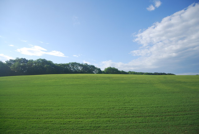
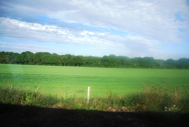
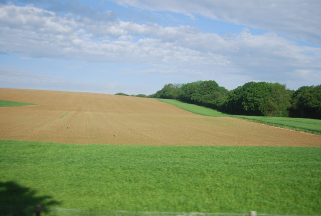
Fulfords Hill is a prominent hill located in the county of Sussex, in the southeast of England. Situated near the village of Fulfords, the hill is part of the South Downs, a range of chalk hills that stretch across several counties in the region. It stands at an elevation of approximately 200 meters, offering breathtaking panoramic views of the surrounding countryside.
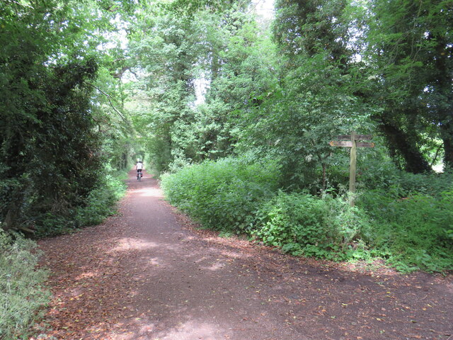
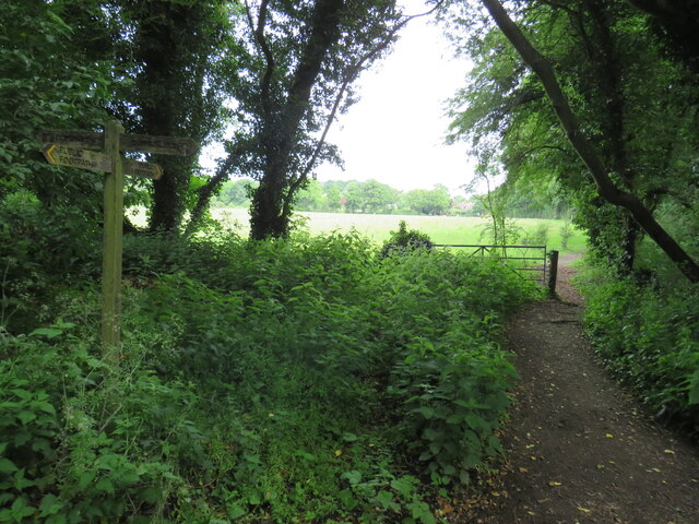
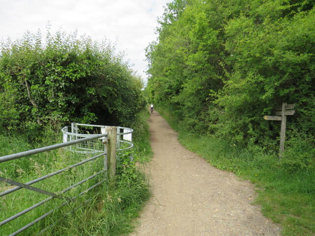
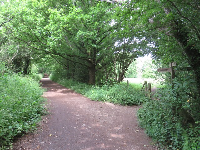
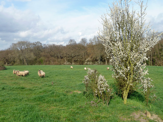
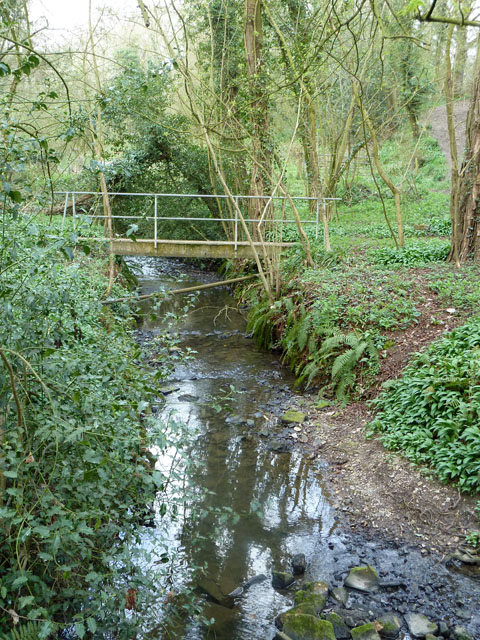
Covered in lush greenery and dotted with patches of wildflowers, Fulfords Hill boasts a diverse range of flora and fauna. The hill is home to various species of birds, butterflies, and small mammals, making it a popular spot for nature enthusiasts and birdwatchers. Additionally, the hillside is traversed by several walking and hiking trails, providing visitors with the opportunity to explore the landscape and enjoy the peaceful ambiance.
Fulfords Hill is steeped in history, with traces of human activity dating back centuries. The area is known for its ancient barrows, burial mounds that date from the Bronze Age. These archaeological sites provide valuable insights into the lives of the people who inhabited the region thousands of years ago.
The hill is easily accessible by car, with nearby parking available for visitors. It is also well-connected to the surrounding areas by public transportation, allowing for convenient access for those without private vehicles. Fulfords Hill is a wonderful destination for those seeking natural beauty, outdoor activities, and a glimpse into the rich history of Sussex.
If you have any feedback on the listing, please let us know in the comments section below.
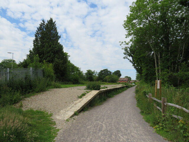
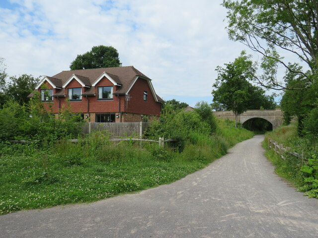
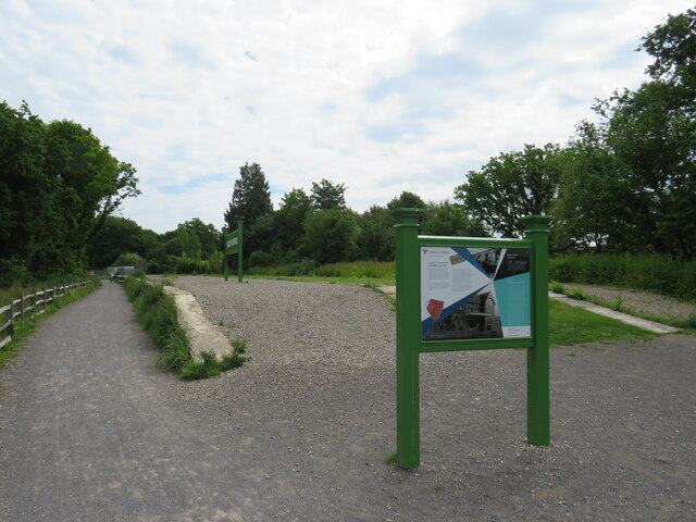
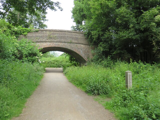
Fulfords Hill Images
Images are sourced within 2km of 51.052258/-0.38426079 or Grid Reference TQ1329. Thanks to Geograph Open Source API. All images are credited.
Fulfords Hill is located at Grid Ref: TQ1329 (Lat: 51.052258, Lng: -0.38426079)
Administrative County: West Sussex
District: Horsham
Police Authority: Sussex
What 3 Words
///buffoon.lecturing.geologist. Near Slinfold, West Sussex
Nearby Locations
Related Wikis

Itchingfield
Itchingfield is a small village and civil parish in the Horsham district of West Sussex, England. It lies on the Barns Green to Broadbridge Heath road...
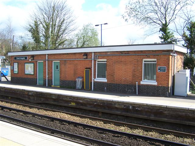
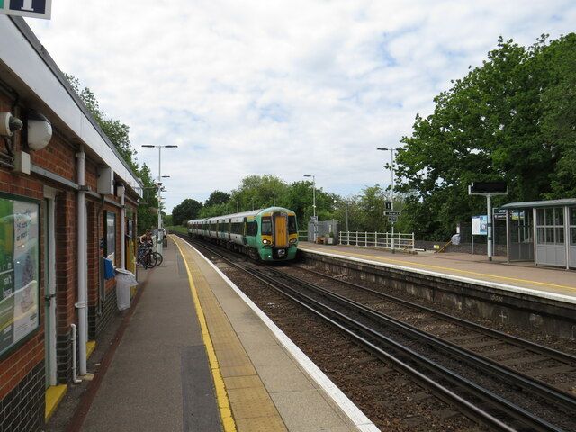
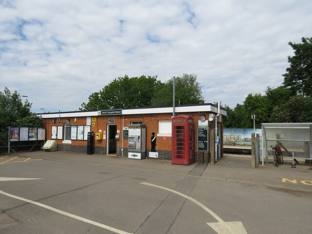
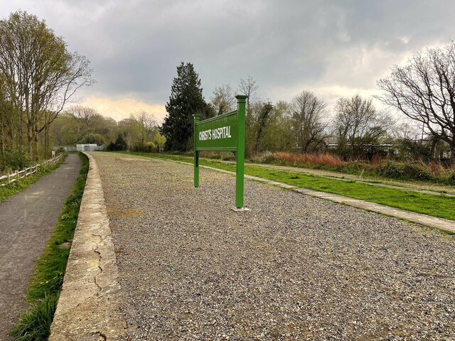
Christ's Hospital railway station
Christ's Hospital railway station is near Horsham in West Sussex, England. It is 40 miles 7 chains (64.5 km) down the line from London Bridge via Redhill...
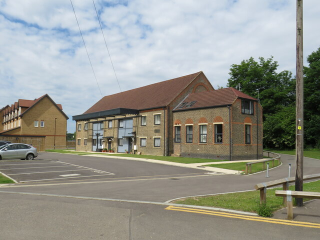
Christ's Hospital
Christ's Hospital is a public school (English fee-charging boarding school for pupils aged 11–18) with a royal charter located to the south of Horsham...

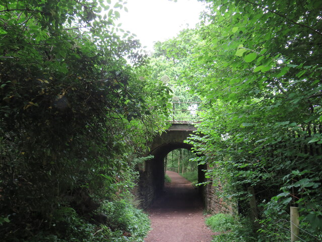
Downs Link
The Downs Link is a 36.7 miles (59.1 km) path and bridleway linking the North Downs Way at St. Martha's Hill in Surrey with the South Downs Way near Steyning...
Nearby Amenities
Located within 500m of 51.052258,-0.38426079Have you been to Fulfords Hill?
Leave your review of Fulfords Hill below (or comments, questions and feedback).