Love's Hill
Hill, Mountain in Northamptonshire
England
Love's Hill

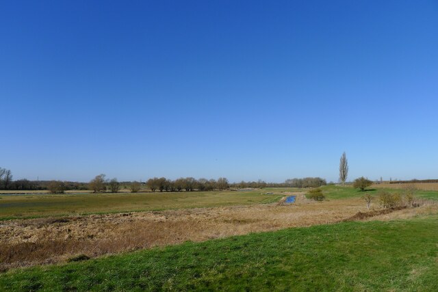
Love's Hill is a prominent geographical feature located in Northamptonshire, England. Despite its name, Love's Hill is not a hill or a mountain but rather a small rise in the landscape that offers picturesque views of the surrounding countryside.
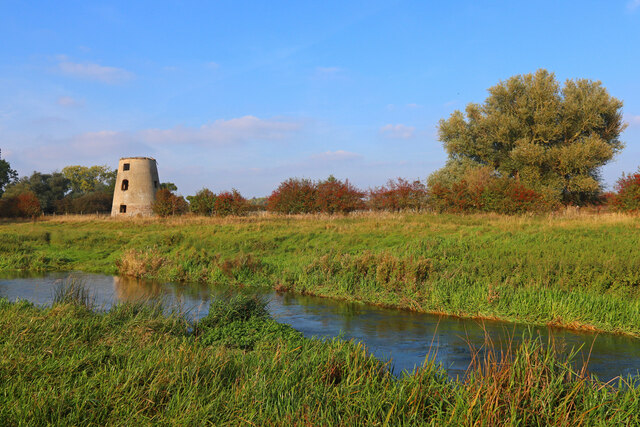
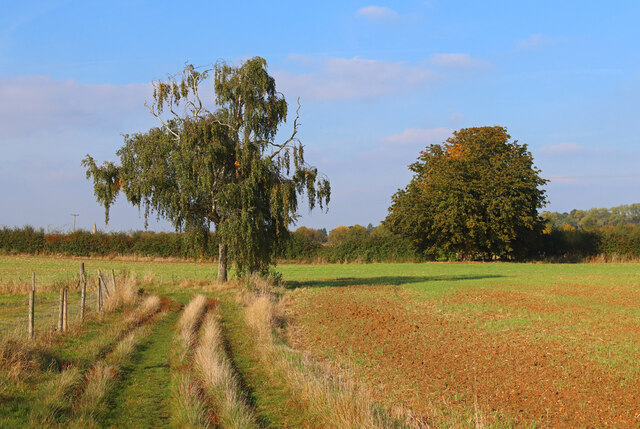
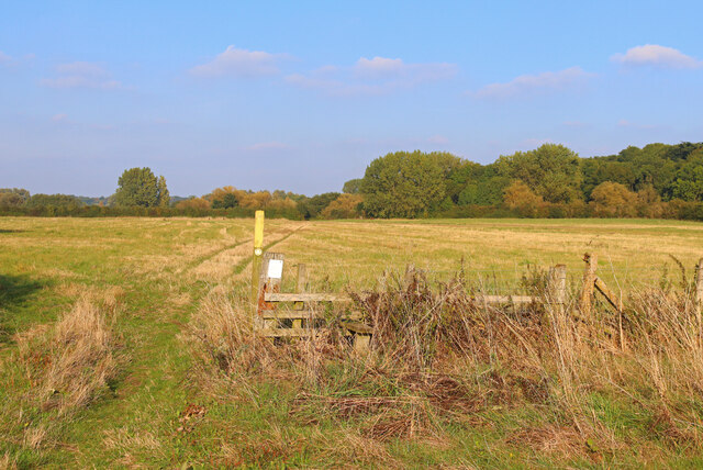
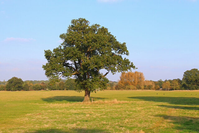
Situated in the heart of Northamptonshire, Love's Hill is a popular destination for nature enthusiasts and hikers who enjoy the peacefulness and tranquility it offers. The area is characterized by gently rolling hills and lush greenery, creating a tranquil setting for visitors to immerse themselves in nature.
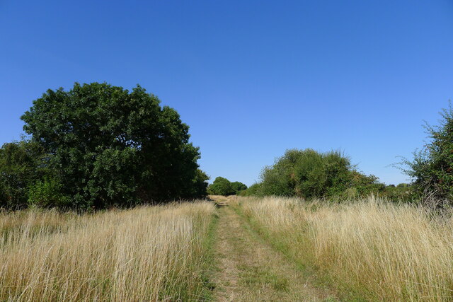
The hill itself is not particularly steep, making it accessible to people of all fitness levels. It is covered in a variety of vegetation, including grasses, wildflowers, and scattered trees, providing a home to a diverse range of plant and animal species. The presence of these diverse habitats attracts birdwatchers and wildlife enthusiasts year-round.
The summit of Love's Hill offers breathtaking panoramic views of the surrounding Northamptonshire countryside. On a clear day, visitors can see for miles, taking in the patchwork of fields, hedgerows, and woodlands that make up this rural landscape.
Love's Hill is also steeped in history, with traces of ancient settlements and archaeological remains found in the vicinity. Local historians believe that the hill may have been used for ceremonial purposes in the past, further adding to its appeal for those interested in heritage and culture.
Overall, Love's Hill is a natural gem in Northamptonshire, offering visitors a chance to escape the bustle of city life and immerse themselves in the beauty of the British countryside.
If you have any feedback on the listing, please let us know in the comments section below.
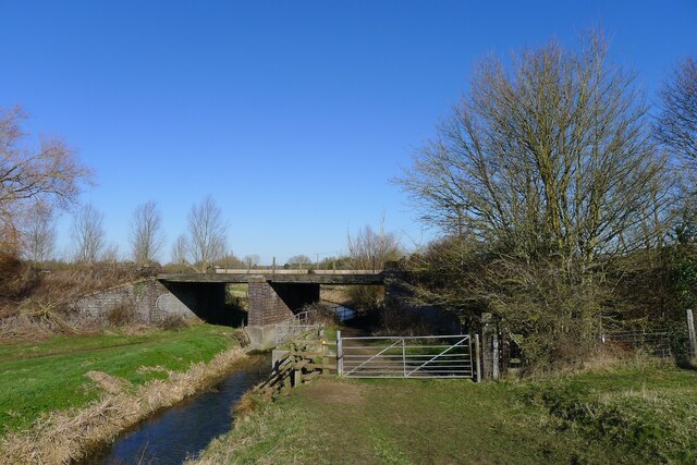
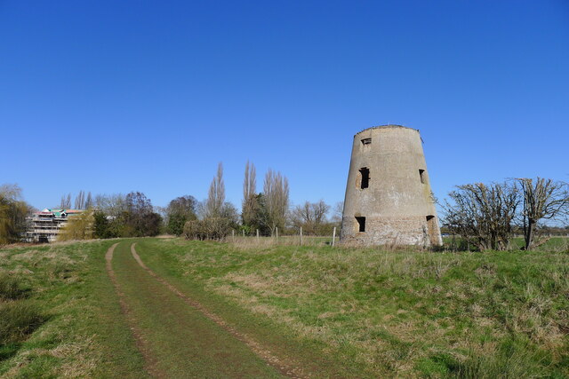
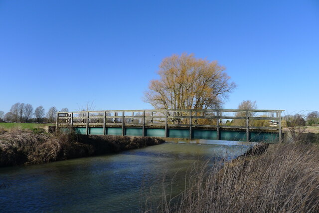
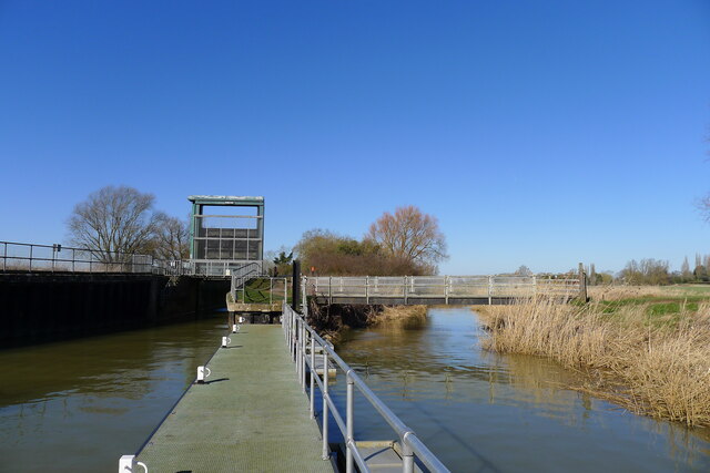
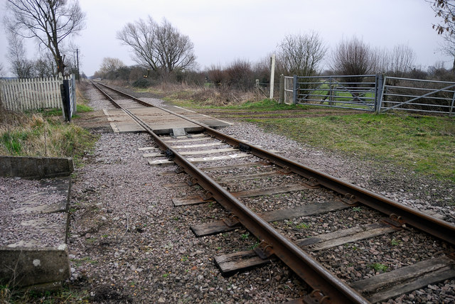
Love's Hill Images
Images are sourced within 2km of 52.570259/-0.33116806 or Grid Reference TL1398. Thanks to Geograph Open Source API. All images are credited.


Love's Hill is located at Grid Ref: TL1398 (Lat: 52.570259, Lng: -0.33116806)
Division: Soke of Peterborough
Unitary Authority: Peterborough
Police Authority: Cambridgeshire
What 3 Words
///pile.pace.valley. Near Castor, Cambridgeshire
Nearby Locations
Related Wikis
Nene Park, Peterborough
Nene Park is a country park in the city of Peterborough, Cambridgeshire in the United Kingdom. Opened in 1978, it occupies a site approximately three and...

Castor, Cambridgeshire
Castor is a village and civil parish in the City of Peterborough unitary authority, about 4 miles (6.4 km) west of the city centre. The parish is part...

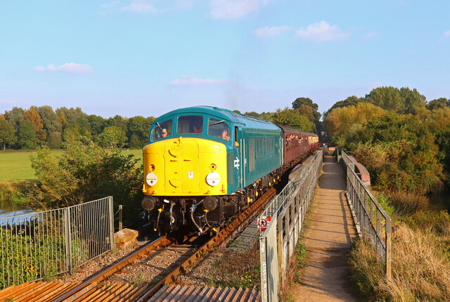
Nene Valley Railway
The Nene Valley Railway (NVR) is a preserved railway in Cambridgeshire, England, running between Peterborough Nene Valley and Yarwell Junction. The line...

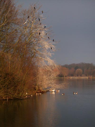
Castor Flood Meadows
Castor Flood Meadows is a 41.8-hectare (103-acre) biological Site of Special Scientific Interest on the western outskirts of Peterborough in Cambridgeshire...

Ailsworth
Ailsworth or Ailesworth is a village and civil parish in the City of Peterborough unitary authority, about 4.5 miles (7.2 km) west of the city centre....

Durobrivae (Water Newton)
Durobrivae was a Roman fortified garrison town located at Water Newton in the English county of Cambridgeshire, where Ermine Street crossed the River Nene...

Greatest Hits Radio South
Greatest Hits Radio South is a regional radio station serving the South of England, as part of Bauer’s Greatest Hits Radio network. == Coverage == The...
Castor railway station
Castor Railway Station was a station serving the villages Castor and Ailsworth in Cambridgeshire. It was on the old London and North Western Railway Northampton...
Nearby Amenities
Located within 500m of 52.570259,-0.33116806Have you been to Love's Hill?
Leave your review of Love's Hill below (or comments, questions and feedback).