Morborne Hill
Hill, Mountain in Huntingdonshire Huntingdonshire
England
Morborne Hill
Morborne Hill is a prominent geographical feature located in the district of Huntingdonshire, England. Rising to an elevation of approximately 84 meters (276 feet), it is often classified as a hill rather than a mountain due to its relatively modest height. The hill is situated just south of the village of Morborne, and its distinctive shape and location make it a notable landmark in the surrounding countryside.
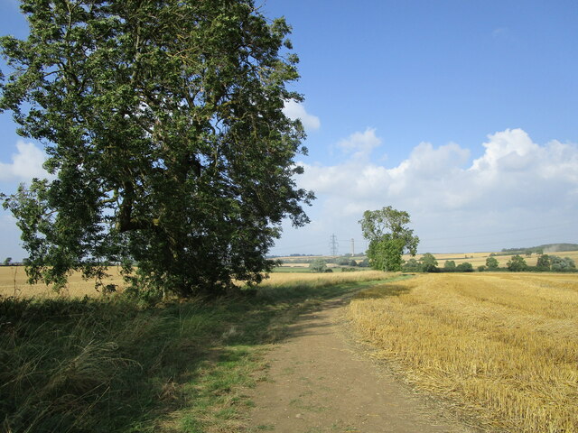
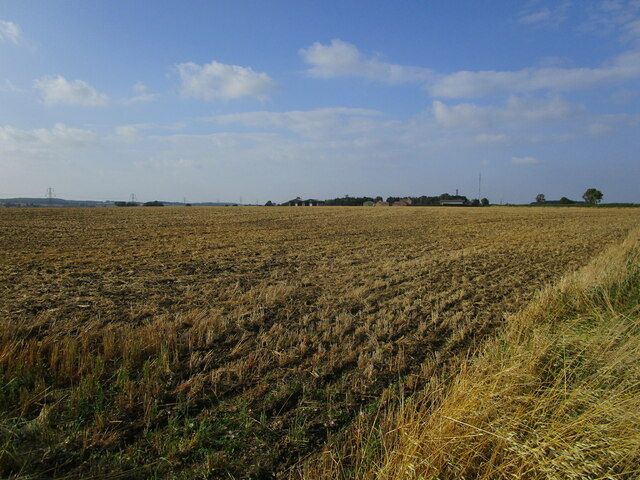
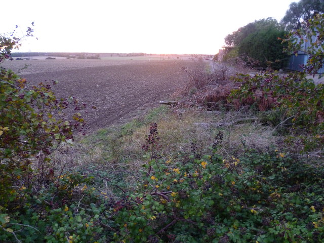
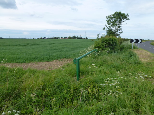
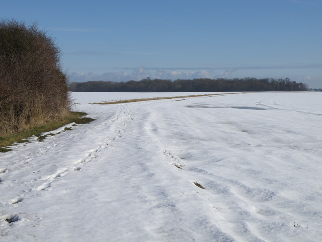
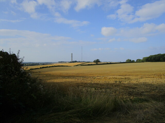
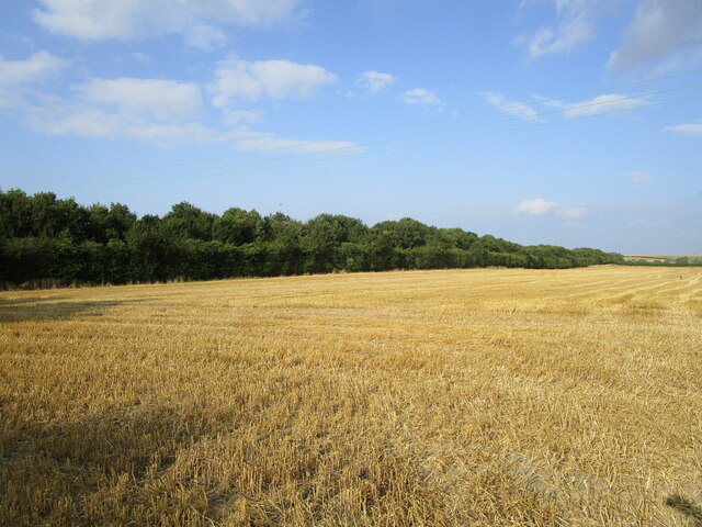
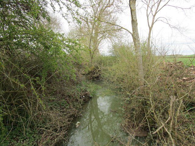
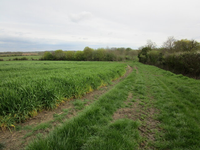
Morborne Hill is characterized by gentle slopes covered with lush green vegetation, predominantly consisting of grasses and scattered trees. The hill offers picturesque views of the surrounding landscape, including the nearby villages, farmland, and meandering rivers. On a clear day, it is possible to see as far as the city of Peterborough, approximately 13 kilometers (8 miles) to the east.
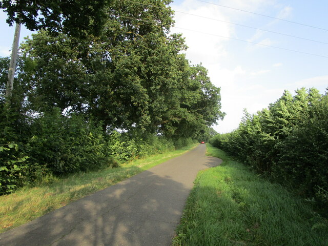
The hill is a popular destination for outdoor enthusiasts, hikers, and nature lovers. It offers various walking trails that allow visitors to explore its natural beauty and enjoy the tranquil surroundings. Additionally, the hill attracts birdwatchers who come to spot a variety of bird species that inhabit the area.
Morborne Hill holds historical significance as well. It is believed to have been a settlement site during the Iron Age, with evidence of ancient burial mounds found on its slopes. The hill's strategic location may have played a role in its use as a defensive position during ancient times.
Overall, Morborne Hill stands as a prominent landmark in Huntingdonshire, offering both natural beauty and historical significance to those who visit. Its gentle slopes, scenic views, and recreational opportunities make it a cherished destination for locals and visitors alike.
If you have any feedback on the listing, please let us know in the comments section below.
Morborne Hill Images
Images are sourced within 2km of 52.508634/-0.34253614 or Grid Reference TL1291. Thanks to Geograph Open Source API. All images are credited.


Morborne Hill is located at Grid Ref: TL1291 (Lat: 52.508634, Lng: -0.34253614)
Administrative County: Cambridgeshire
District: Huntingdonshire
Police Authority: Cambridgeshire
What 3 Words
///choirs.rate.alienated. Near Stilton, Cambridgeshire
Nearby Locations
Related Wikis

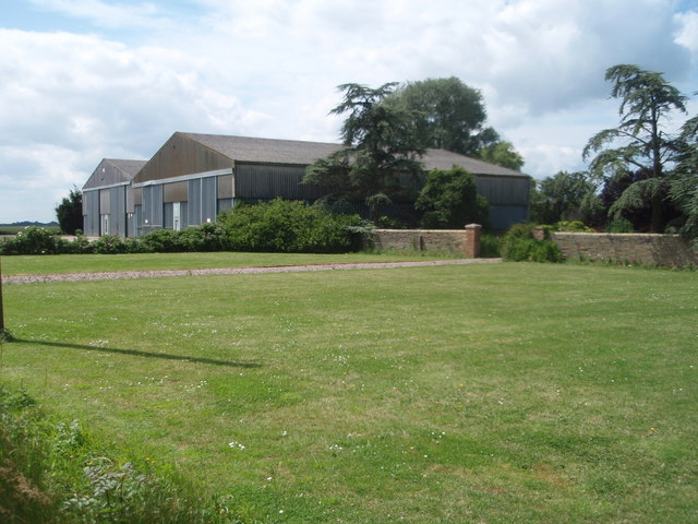
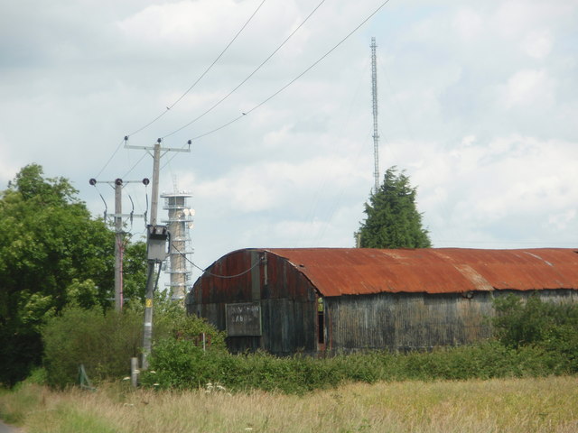
Peterborough transmitting station
The Peterborough transmitting station is a broadcasting and telecommunications facility at Morborne Hill, near Peterborough, England (grid reference TL127913...

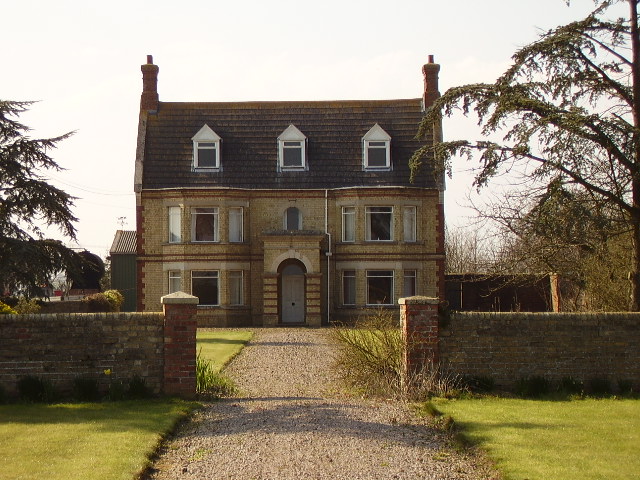
Morborne
Morborne is a village and civil parish in Cambridgeshire, England. Morborne lies approximately 5 miles (8 km) south-west of Peterborough, near Yaxley....
Haddon, Cambridgeshire
Haddon is a village and civil parish in Cambridgeshire, England. Haddon lies approximately 5 miles (8 km) south-west of Peterborough city centre, near...
Folksworth and Washingley
Folksworth and Washingley is a civil parish near Peterborough in Cambridgeshire, England, comprising the villages of Folksworth and Washingley.The parish...

Washingley
Washingley is a hamlet and former civil parish, now in the parish of Folksworth and Washingley, in Cambridgeshire, England. Washingley lies approximately...

A605 road
The A605 road is a main road in the English counties of Northamptonshire and Cambridgeshire. == Route (west to east) == The A605 strikes north from junction...
Chesterton, Huntingdonshire
Chesterton is a small village and civil parish of exactly 56 households in Cambridgeshire, England. The village lies approximately 5 miles (8 km) west...

Caldecote, Huntingdonshire
Caldecote is a village and former civil parish, now in the parish of Denton and Caldecote, in Cambridgeshire, England. Caldecote lies approximately 7 miles...
Nearby Amenities
Located within 500m of 52.508634,-0.34253614Have you been to Morborne Hill?
Leave your review of Morborne Hill below (or comments, questions and feedback).