Boughton Hill

Hill, Mountain in Lincolnshire North Kesteven

England

Boughton Hill

Crop field, Ewerby View east over a drain from Clay Pit Lane.
Crop field, Ewerby Credit: JThomas

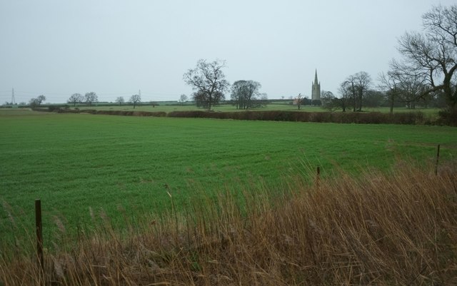
Boughton Hill is a modest elevation located in the county of Lincolnshire, England. Although referred to as a "hill," it is important to note that its height does not meet the technical definition of a mountain, but rather a small hill. Situated near the village of Boughton, the hill offers panoramic views of the surrounding countryside.

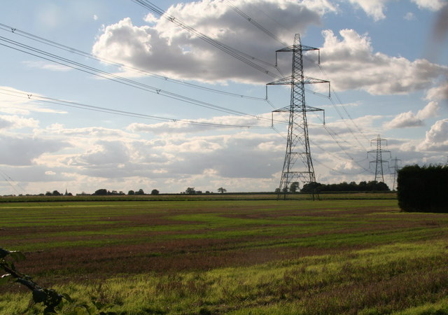
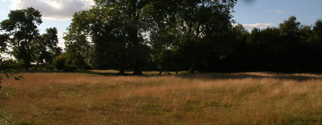
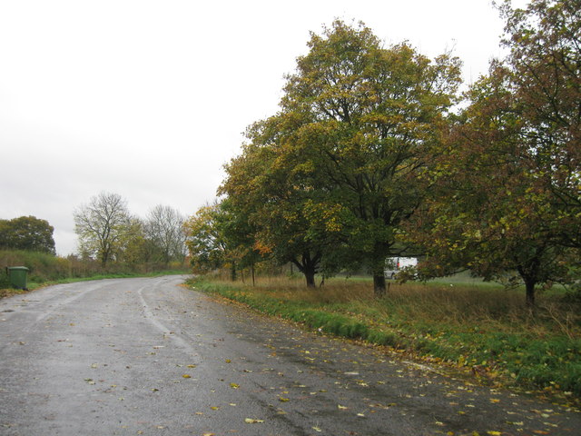
The hill itself is mostly covered in grass with a few scattered trees, providing a picturesque landscape. The terrain is relatively gentle and can be easily walked upon. It is a popular spot for leisurely walks and outdoor activities, attracting locals and tourists alike.

Boughton Hill is also notable for its historical significance. It is believed to have been used as a defensive position during ancient times, with remnants of earthworks and ditches still visible today. Archaeological surveys have uncovered evidence of early human activity, including pottery fragments and flint tools, further emphasizing its importance as a site of historical interest.

Furthermore, the hill is home to a variety of wildlife, including small mammals and birds. Nature enthusiasts can enjoy observing the diverse flora and fauna that inhabit the area.

Overall, Boughton Hill offers visitors an opportunity to connect with nature, enjoy breathtaking views, and explore the historical heritage of Lincolnshire. Whether it's for a leisurely stroll, a picnic, or an appreciation of the area's history, Boughton Hill provides a serene escape from the hustle and bustle of everyday life.

If you have any feedback on the listing, please let us know in the comments section below.

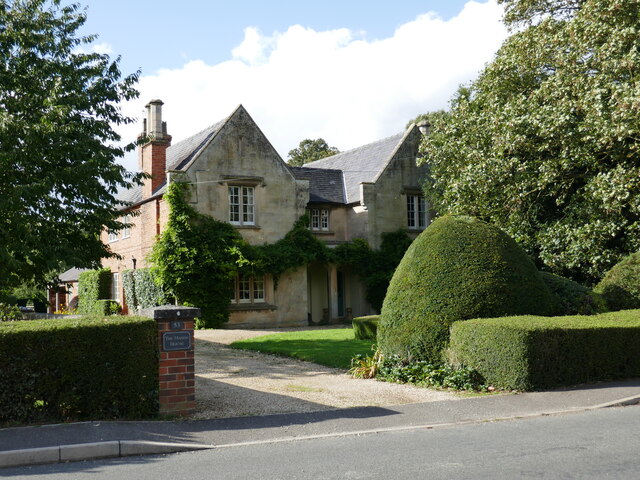
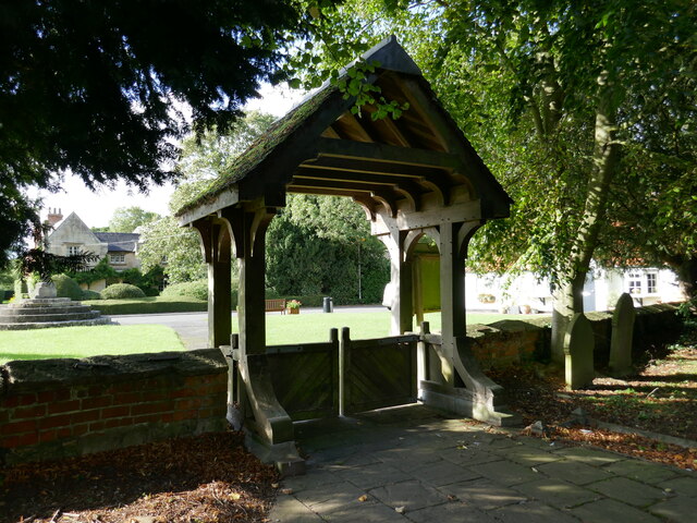
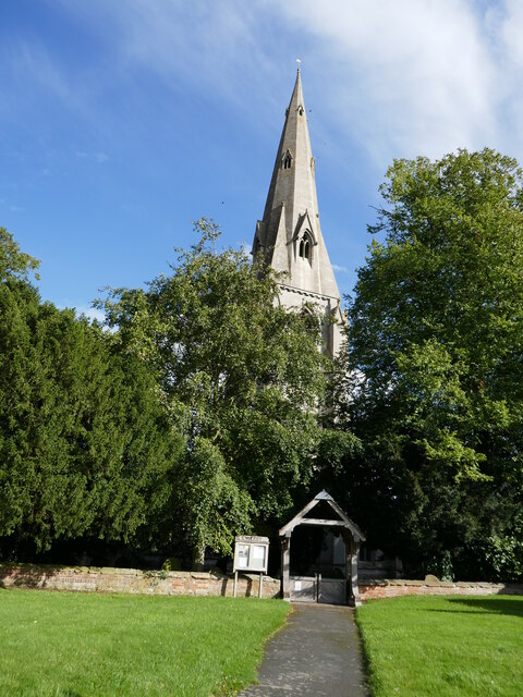
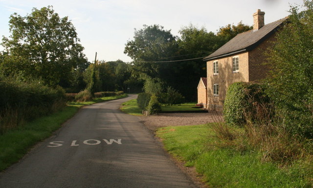
Boughton Hill Images

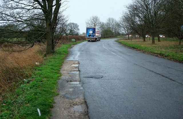
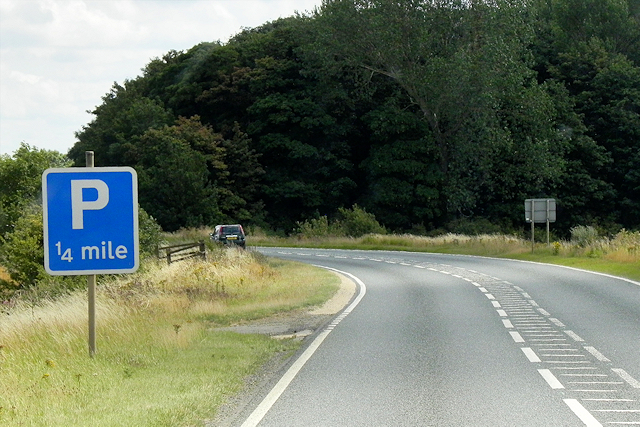
Images are sourced within 2km of 52.999339/-0.33621744 or Grid Reference TF1145. Thanks to Geograph Open Source API. All images are credited.

Crop field, Ewerby View east over a drain from Clay Pit Lane.
Crop field, Ewerby
View east over a drain from Clay Pit Lane.
Clay Pit Lane Looking south beside drain.
Clay Pit Lane
Looking south beside drain.
House, The Elms, Ewerby
Drain beside Clay Pit Lane
The Manor House, Ewerby Dates from the mid nineteenth century <span class="nowrap"><a title="https://historicengland.org.uk/listing/the-list/list-entry/1061839?section=official-list-entry" rel="nofollow ugc noopener" href="https://historicengland.org.uk/listing/the-list/list-entry/1061839?section=official-list-entry">Link</a><img style="margin-left:2px;" alt="External link" title="External link - shift click to open in new window" src="https://s1.geograph.org.uk/img/external.png" width="10" height="10"/></span>
The Manor House, Ewerby
Dates from the mid nineteenth century LinkExternal link
Village Cross, Ewerby Dates from the fourteenth century <span class="nowrap"><a title="https://historicengland.org.uk/listing/the-list/list-entry/1061840?section=official-list-entry" rel="nofollow ugc noopener" href="https://historicengland.org.uk/listing/the-list/list-entry/1061840?section=official-list-entry">Link</a><img style="margin-left:2px;" alt="External link" title="External link - shift click to open in new window" src="https://s1.geograph.org.uk/img/external.png" width="10" height="10"/></span>
Village Cross, Ewerby
Dates from the fourteenth century LinkExternal link
The churchyard, Ewerby Looking towards Church Lane.
The churchyard, Ewerby
Looking towards Church Lane.
St Andrew's church, Ewerby A fine medieval church <span class="nowrap"><a title="https://historicengland.org.uk/listing/the-list/list-entry/1360562?section=official-list-entry" rel="nofollow ugc noopener" href="https://historicengland.org.uk/listing/the-list/list-entry/1360562?section=official-list-entry">Link</a><img style="margin-left:2px;" alt="External link" title="External link - shift click to open in new window" src="https://s1.geograph.org.uk/img/external.png" width="10" height="10"/></span> Unusual for Lincolnshire in that the nave does not have a clerestorey.
St Andrew's church, Ewerby
A fine medieval church LinkExternal link Unusual for Lincolnshire in that the nave does not have a clerestorey.
Lych gate, Ewerby
Lych gate, Ewerby
Ewerby, lych gate and the spire of St. Andrew's church The spire dates from the fourteenth century <span class="nowrap"><a title="https://historicengland.org.uk/listing/the-list/list-entry/1360562?section=official-list-entry" rel="nofollow ugc noopener" href="https://historicengland.org.uk/listing/the-list/list-entry/1360562?section=official-list-entry">Link</a><img style="margin-left:2px;" alt="External link" title="External link - shift click to open in new window" src="https://s1.geograph.org.uk/img/external.png" width="10" height="10"/></span>
Ewerby, lych gate and the spire of St. Andrew's church
The spire dates from the fourteenth century LinkExternal link
Cottage in Howell
Cottage in Howell
Pylons passing SW of Howell, towards Boughton Plantation
Paddock by Manor Farm, Howell Ridge and furrow field.
Paddock by Manor Farm, Howell
Ridge and furrow field.
A17 lay-by
A17 lay-by
Towards the church at Asgarby From a lay-by on the A17 on a dismal winter's day. In the next field are many scattered trees. The grade I listed St Andrew's church at Asgarby is also shown in many of the photos at <a title="https://www.geograph.org.uk/search.php?i=60287574" href="https://www.geograph.org.uk/search.php?i=60287574">Link</a> and described at <span class="nowrap"><a title="http://www.historicengland.org.uk/listing/the-list/list-entry/1061832" rel="nofollow ugc noopener" href="http://www.historicengland.org.uk/listing/the-list/list-entry/1061832">Link</a><img style="margin-left:2px;" alt="External link" title="External link - shift click to open in new window" src="https://s1.geograph.org.uk/img/external.png" width="10" height="10"/></span> . The tower dates from the C14.
Towards the church at Asgarby
From a lay-by on the A17 on a dismal winter's day. In the next field are many scattered trees. The grade I listed St Andrew's church at Asgarby is also shown in many of the photos at Link and described at LinkExternal link . The tower dates from the C14.
Lay-by, Asgarby You can get some idea of the gloom from the headlights on passing vehicles. It's raining fairly steadily. This is the spot from which <a href="https://www.geograph.org.uk/photo/4792202">TF1145 : Towards the church at Asgarby</a> was taken.
Lay-by, Asgarby
You can get some idea of the gloom from the headlights on passing vehicles. It's raining fairly steadily. This is the spot from which TF1145 : Towards the church at Asgarby was taken.
The A17, East of Kirkby la Thorpe The A17 is the major route for HGV's accessing Norfolk from Northern England and the Midlands and also a major holiday route in the summer months for cars and caravans making their way to the seaside resorts of Hunstanton, Wells-next-the-Sea, Sheringham, Cromer and Great Yarmouth and is one of only two direct routes that links Norfolk with the A1, the other being the A47. It runs for almost 60 miles from Winthorpe, near Newark-on-Trent to King's Lynn across the flat landscape of the Lincolnshire fens with only four stretches of dual carriageway. 
<span class="nowrap"><a title="http://www.sabre-roads.org.uk/wiki/index.php?title=A17" rel="nofollow ugc noopener" href="http://www.sabre-roads.org.uk/wiki/index.php?title=A17">Link</a><img style="margin-left:2px;" alt="External link" title="External link - shift click to open in new window" src="https://s1.geograph.org.uk/img/external.png" width="10" height="10"/></span>  SABRE
<span class="nowrap"><a title="https://en.wikipedia.org/wiki/A17_road_(England)" rel="nofollow ugc noopener" href="https://en.wikipedia.org/wiki/A17_road_(England)">Link</a><img style="margin-left:2px;" alt="External link" title="External link - shift click to open in new window" src="https://s1.geograph.org.uk/img/external.png" width="10" height="10"/></span>  Wikipedia
The A17, East of Kirkby la Thorpe
The A17 is the major route for HGV's accessing Norfolk from Northern England and the Midlands and also a major holiday route in the summer months for cars and caravans making their way to the seaside resorts of Hunstanton, Wells-next-the-Sea, Sheringham, Cromer and Great Yarmouth and is one of only two direct routes that links Norfolk with the A1, the other being the A47. It runs for almost 60 miles from Winthorpe, near Newark-on-Trent to King's Lynn across the flat landscape of the Lincolnshire fens with only four stretches of dual carriageway. LinkExternal link SABRE LinkExternal link Wikipedia
Eastbound A17 The A17 is the major route for HGV's accessing Norfolk from Northern England and the Midlands and also a major holiday route in the summer months for cars and caravans making their way to the seaside resorts of Hunstanton, Wells-next-the-Sea, Sheringham, Cromer and Great Yarmouth and is one of only two direct routes that links Norfolk with the A1, the other being the A47. It runs for almost 60 miles from Winthorpe, near Newark-on-Trent to King's Lynn across the flat landscape of the Lincolnshire fens with only four stretches of dual carriageway. 
<span class="nowrap"><a title="http://www.sabre-roads.org.uk/wiki/index.php?title=A17" rel="nofollow ugc noopener" href="http://www.sabre-roads.org.uk/wiki/index.php?title=A17">Link</a><img style="margin-left:2px;" alt="External link" title="External link - shift click to open in new window" src="https://s1.geograph.org.uk/img/external.png" width="10" height="10"/></span>  SABRE
<span class="nowrap"><a title="https://en.wikipedia.org/wiki/A17_road_(England)" rel="nofollow ugc noopener" href="https://en.wikipedia.org/wiki/A17_road_(England)">Link</a><img style="margin-left:2px;" alt="External link" title="External link - shift click to open in new window" src="https://s1.geograph.org.uk/img/external.png" width="10" height="10"/></span>  Wikipedia
Eastbound A17
The A17 is the major route for HGV's accessing Norfolk from Northern England and the Midlands and also a major holiday route in the summer months for cars and caravans making their way to the seaside resorts of Hunstanton, Wells-next-the-Sea, Sheringham, Cromer and Great Yarmouth and is one of only two direct routes that links Norfolk with the A1, the other being the A47. It runs for almost 60 miles from Winthorpe, near Newark-on-Trent to King's Lynn across the flat landscape of the Lincolnshire fens with only four stretches of dual carriageway. LinkExternal link SABRE LinkExternal link Wikipedia
Show me another place!

Boughton Hill is located at Grid Ref: TF1145 (Lat: 52.999339, Lng: -0.33621744)

Administrative County: Lincolnshire

District: North Kesteven

Police Authority: Lincolnshire

What 3 Words

///neatly.remaining.culminate. Near Heckington, Lincolnshire

Related Wikis

Boughton, Lincolnshire

Boughton is a hamlet in Lincolnshire, England. It is in the civil parish of Asgarby and Howell. == External links == Media related to Boughton, Lincolnshire...

Asgarby, North Kesteven

Asgarby is a village in the civil parish of Asgarby and Howell, in the North Kesteven district of Lincolnshire, England. It is situated on the A17 Boston...

East Kesteven Rural District

East Kesteven was a rural district in Lincolnshire, Parts of Kesteven from 1931 to 1974. It was formed under a County Review Order, by the merger of most...

Asgarby and Howell

Asgarby and Howell is a civil parish in the North Kesteven district of Lincolnshire, England, consisting of the villages of Asgarby and Howell. According...

Nearby Amenities

Located within 500m of 52.999339,-0.33621744
Power: tower
Lat/Long: 53.0036204/-0.3343729
Boughton Hill
Place: locality
Source: Bing
Lat/Long: 52.9957879/-0.3360482
The data included in this document is from www.openstreetmap.org. The data is made available under ODbL.

Have you been to Boughton Hill?

Leave your review of Boughton Hill below (or comments, questions and feedback).