Warren Hill

Hill, Mountain in Sussex Horsham

England

Warren Hill

The Parish Church of St Mary The church at Sullington is a Grade I listed building. For further details see <span class="nowrap"><a title="https://historicengland.org.uk/listing/the-list/list-entry/1354077" rel="nofollow ugc noopener" href="https://historicengland.org.uk/listing/the-list/list-entry/1354077">Link</a><img style="margin-left:2px;" alt="External link" title="External link - shift click to open in new window" src="https://s1.geograph.org.uk/img/external.png" width="10" height="10"/></span>
The Parish Church of St Mary Credit: Chris Thomas-Atkin

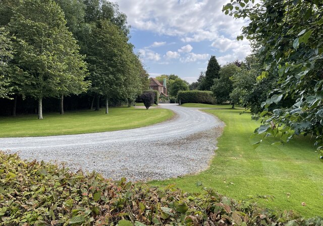
Warren Hill is a prominent landmark located in Sussex, England. Rising to a height of approximately 238 meters (781 feet), it is considered one of the highest points in the area. The hill is part of the South Downs National Park, a picturesque region renowned for its stunning natural beauty and diverse wildlife.

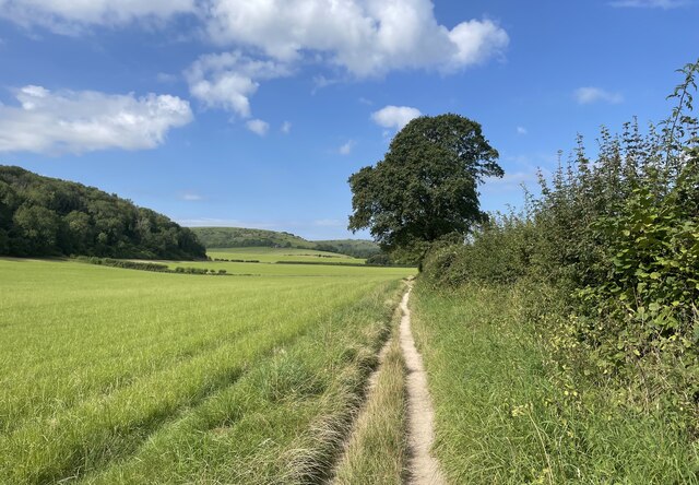
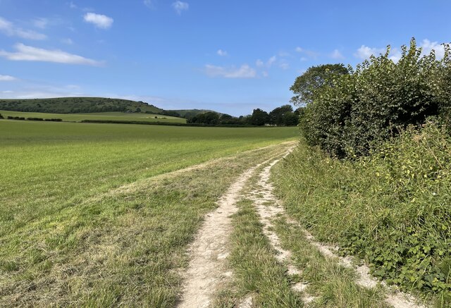
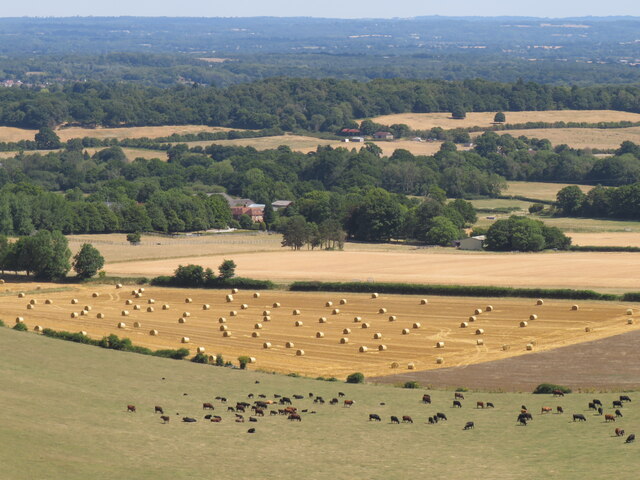
Situated near the village of Amberley, Warren Hill offers breathtaking panoramic views of the surrounding countryside. The summit provides an ideal vantage point for visitors to admire the undulating hills, lush green valleys, and charming villages that dot the landscape. On a clear day, it is possible to see as far as the English Channel, adding to the hill's allure.

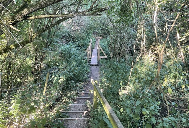
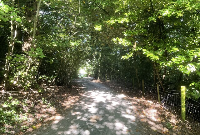
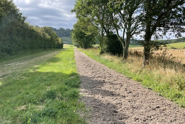
Warren Hill is a popular destination for outdoor enthusiasts, attracting hikers, nature lovers, and photographers. There are several well-marked trails that lead to the summit, allowing visitors to explore the surrounding area at their own pace. The hill's diverse flora and fauna make it a haven for wildlife, and lucky visitors may spot various bird species, rabbits, and even deer.

Aside from its natural beauty, Warren Hill also holds historical significance. The area is known for its ancient burial mounds, dating back to the Bronze Age. These archaeological remains offer a glimpse into the rich heritage of the region, adding an extra layer of interest for those with a passion for history.

Overall, Warren Hill in Sussex is a captivating destination that offers a blend of natural splendor and historical intrigue. Its elevated position, panoramic views, and diverse wildlife make it a must-visit location for anyone exploring the area.

If you have any feedback on the listing, please let us know in the comments section below.
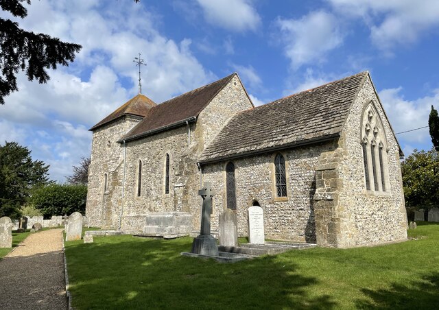
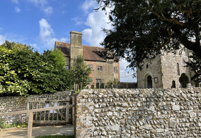
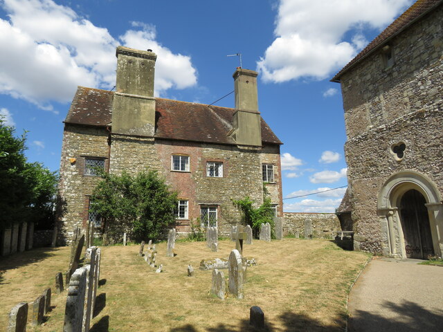
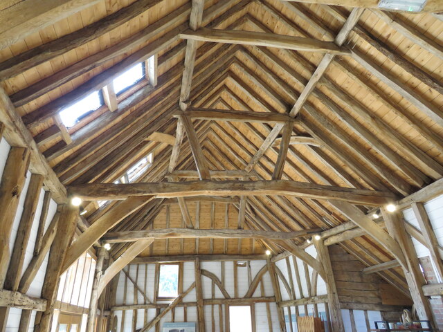
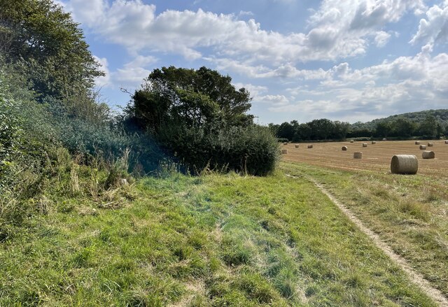
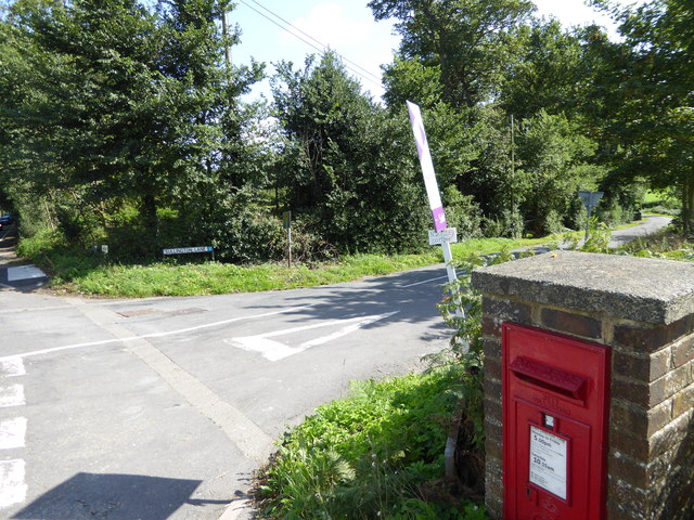
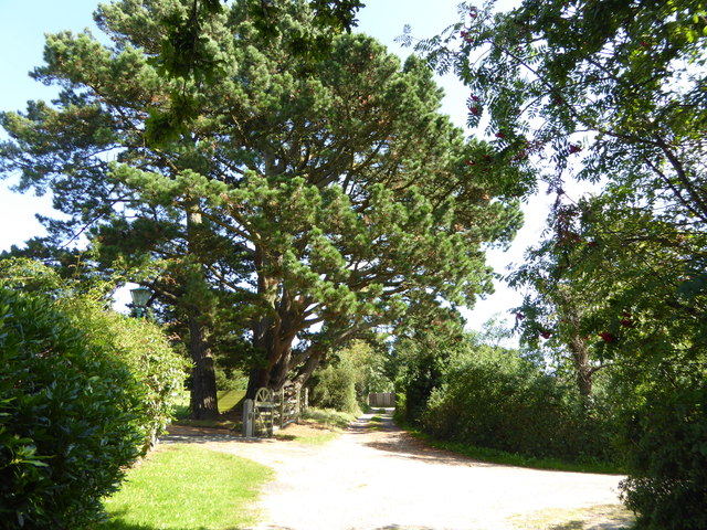
Warren Hill Images

Images are sourced within 2km of 50.914369/-0.41443332 or Grid Reference TQ1113. Thanks to Geograph Open Source API. All images are credited.

The Parish Church of St Mary The church at Sullington is a Grade I listed building. For further details see <span class="nowrap"><a title="https://historicengland.org.uk/listing/the-list/list-entry/1354077" rel="nofollow ugc noopener" href="https://historicengland.org.uk/listing/the-list/list-entry/1354077">Link</a><img style="margin-left:2px;" alt="External link" title="External link - shift click to open in new window" src="https://s1.geograph.org.uk/img/external.png" width="10" height="10"/></span>
The Parish Church of St Mary
The church at Sullington is a Grade I listed building. For further details see LinkExternal link
Sullington Manor The building close to the church is Sullington Manor, which is a Grade II listed building. See <span class="nowrap"><a title="https://historicengland.org.uk/listing/the-list/list-entry/1285147" rel="nofollow ugc noopener" href="https://historicengland.org.uk/listing/the-list/list-entry/1285147">Link</a><img style="margin-left:2px;" alt="External link" title="External link - shift click to open in new window" src="https://s1.geograph.org.uk/img/external.png" width="10" height="10"/></span>
Sullington Manor
The building close to the church is Sullington Manor, which is a Grade II listed building. See LinkExternal link
Sullington Manor A patchwork of building materials from chalk, flint and brick, with the Church alongside
Sullington Manor
A patchwork of building materials from chalk, flint and brick, with the Church alongside
Sullington Manor Barn One of the finest barns in Sussex, now used as a heritage exhibition space and much -valued tea room
Sullington Manor Barn
One of the finest barns in Sussex, now used as a heritage exhibition space and much -valued tea room
Footbridge near Washington Crossing a small unnamed stream public footpath number 2089_2 shortly meets Washington Bostal.
Footbridge near Washington
Crossing a small unnamed stream public footpath number 2089_2 shortly meets Washington Bostal.
The Parish Church of St Mary The church is a Grade II* (star) listed building. See <span class="nowrap"><a title="https://historicengland.org.uk/listing/the-list/list-entry/1027198" rel="nofollow ugc noopener" href="https://historicengland.org.uk/listing/the-list/list-entry/1027198">Link</a><img style="margin-left:2px;" alt="External link" title="External link - shift click to open in new window" src="https://s1.geograph.org.uk/img/external.png" width="10" height="10"/></span>
The Parish Church of St Mary
The church is a Grade II* (star) listed building. See LinkExternal link
The A24 Crossing the A24 on the bridge carrying public footpath number 2697.
The A24
Crossing the A24 on the bridge carrying public footpath number 2697.
Path near Rowdell The path descending from Rowdell is public footpath number 2697.
Path near Rowdell
The path descending from Rowdell is public footpath number 2697.
Path below the South Downs Heading west on path number 2665 towards Sullington.
Path below the South Downs
Heading west on path number 2665 towards Sullington.
Fields near Barns Farm Heading west towards Sullington on path number 2665.
Fields near Barns Farm
Heading west towards Sullington on path number 2665.
Barns Farm Barns Farm viewed from the passing public footpath.
Barns Farm
Barns Farm viewed from the passing public footpath.
Horse Gallops The Gallops head towards the South Downs.
Horse Gallops
The Gallops head towards the South Downs.
Path corner Path number 2665 technically heads round the field corner but in practice the worn path takes a more direct route.
Path corner
Path number 2665 technically heads round the field corner but in practice the worn path takes a more direct route.
Sullington harvest View from the bridleway above Hill Barn looking towards Barns Farm
Sullington harvest
View from the bridleway above Hill Barn looking towards Barns Farm
Harvest scene above Barns Farm View from bridleway climbing up from Sullington
Harvest scene above Barns Farm
View from bridleway climbing up from Sullington
Junction of Washington Road and Sullington Lane with post box A view of the junction from the south is at <a title="https://www.geograph.org.uk/photo/3225098" href="https://www.geograph.org.uk/photo/3225098">Link</a>.
Junction of Washington Road and Sullington Lane with post box
A view of the junction from the south is at Link.
Road junction north of Washington Road
Footpath to Sullington Warren
Show me another place!

Warren Hill is located at Grid Ref: TQ1113 (Lat: 50.914369, Lng: -0.41443332)

Administrative County: West Sussex

District: Horsham

Police Authority: Sussex

What 3 Words

///surveyed.lace.afterglow. Near Washington, West Sussex

Nearby Locations

Warren Hill New Barn Copse

Related Wikis

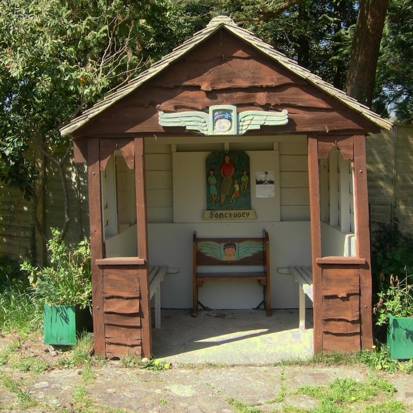
The Sanctuary (community)

The Sanctuary, near Storrington in West Sussex, England, was a utopian community which was founded in 1923 and lasted about a decade. == Founding and... ==

Rock Mill, Washington

Rock Mill is a Grade II listed smock mill at Washington, West Sussex, England, which has been converted to residential use. == History == Rock Mill was...

Heath Common

Heath Common is a settlement in the Horsham District of West Sussex, England. It lies on the Storrington to Ashington road 1.5 miles (2.4 km) east of Storrington...

Washington, West Sussex

Washington is a village and civil parish in the Horsham District of West Sussex, England. It is located five miles (eight kilometres) west of Steyning...

Nearby Amenities

Located within 500m of 50.914369,-0.41443332
Bus Stop
East Clayton Farm
Bus: yes
Naptan AtcoCode: 4400HR0185
Naptan Bearing: E
Naptan CommonName: East Clayton Farm
Naptan Indicator: adj Georges Lane
Naptan Landmark: Georges Lane
Naptan NaptanCode: wsxatpgp
Naptan Street: Washington Road
Naptan Verified: no
Public Transport: platform
Source: naptan_import
Lat/Long: 50.9106094/-0.415834
Bus Stop
East Clayton Farm
Bus: yes
Naptan AtcoCode: 4400HR0186
Naptan Bearing: W
Naptan CommonName: East Clayton Farm
Naptan Indicator: opp Georges Lane
Naptan Landmark: Georges Lane
Naptan NaptanCode: wsxatpgt
Naptan Street: Washington Road
Naptan Verified: no
Public Transport: platform
Source: naptan_import
Lat/Long: 50.9104359/-0.4156407
Bench
Backrest: yes
Seats: 3
Source: gps
Lat/Long: 50.9144075/-0.4143997
Barrier: swing_gate
Lat/Long: 50.9152314/-0.416129
Hiking: yes
Information: guidepost
Tourism: information
Lat/Long: 50.9169405/-0.4182909
Hiking: yes
Information: guidepost
Tourism: information
Lat/Long: 50.9168399/-0.4167496
Designation: public_footpath
Hiking: yes
Information: guidepost
Tourism: information
Lat/Long: 50.9156547/-0.415957
Hiking: yes
Information: guidepost
Tourism: information
Lat/Long: 50.9151187/-0.4161823
Warren Hill
Place: isolated_dwelling
Lat/Long: 50.9122705/-0.408464
Pigland
Place: locality
Lat/Long: 50.9169955/-0.4173659
The data included in this document is from www.openstreetmap.org. The data is made available under ODbL.

Have you been to Warren Hill?

Leave your review of Warren Hill below (or comments, questions and feedback).