Highden Hill
Hill, Mountain in Sussex Horsham
England
Highden Hill
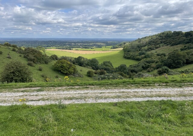
Highden Hill is a picturesque landmark located in Sussex, England. This natural formation is often referred to as a hill, rather than a mountain, as it stands at an elevation of approximately 280 meters (920 feet) above sea level. It is situated in the South Downs National Park, offering breathtaking views of the surrounding countryside.
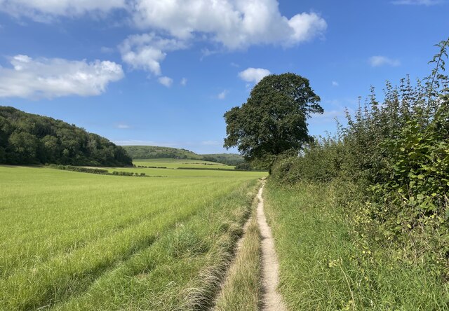
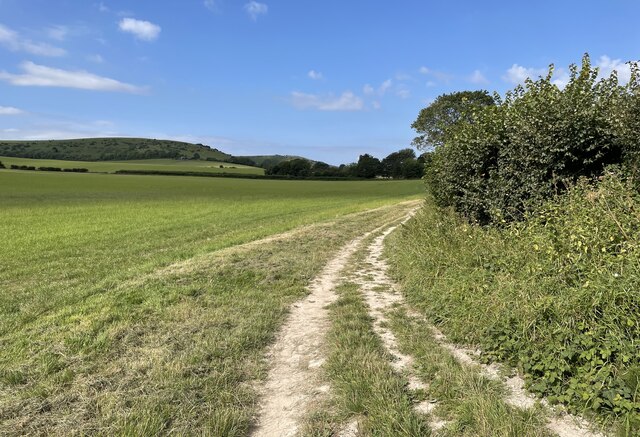
The hill is characterized by its gently rolling slopes and lush greenery, which is mainly comprised of grasses, wildflowers, and a variety of deciduous trees. Highden Hill is a haven for wildlife, hosting a diverse range of species such as rabbits, foxes, and numerous bird species.
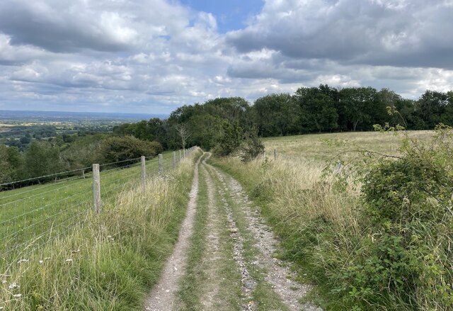
Visitors to Highden Hill can enjoy a leisurely hike to its summit, where they will be rewarded with panoramic vistas of the Sussex countryside. On clear days, it is even possible to see as far as the English Channel, adding to the hill's allure. The area is well-marked with footpaths, making it easily accessible for both experienced hikers and families looking for a scenic outing.
Highden Hill also holds historical significance, with evidence of human activity dating back to the Bronze Age. Archaeological excavations have uncovered ancient artifacts, including pottery and tools, providing insights into the lives of early settlers in the region.
Overall, Highden Hill is a tranquil and idyllic location, offering visitors the chance to connect with nature, appreciate stunning vistas, and explore the rich history of Sussex.
If you have any feedback on the listing, please let us know in the comments section below.
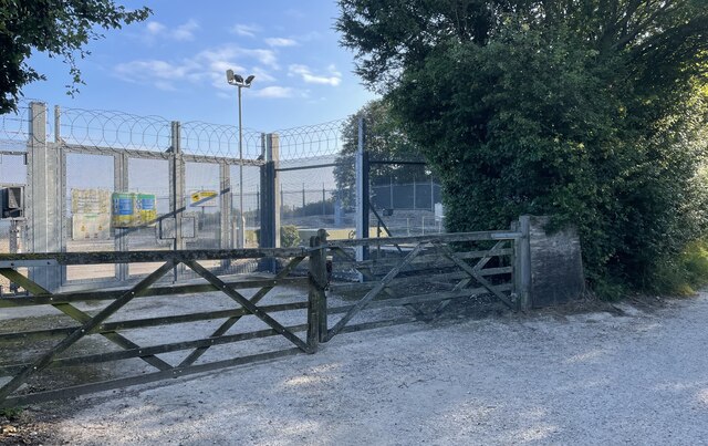
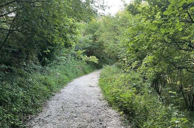
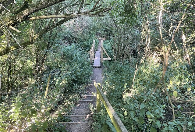
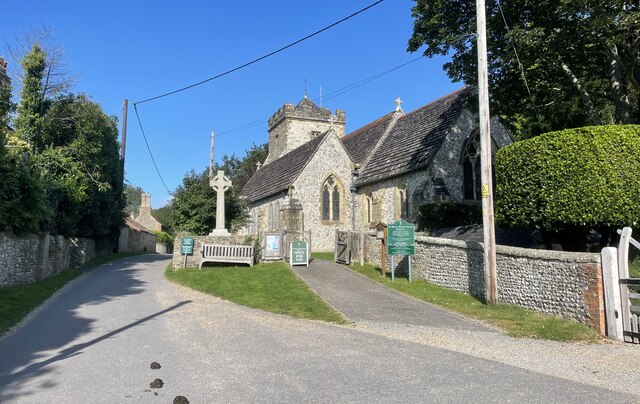
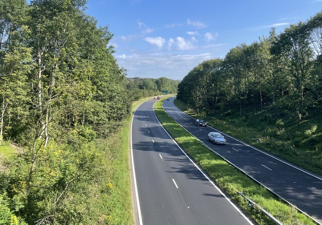
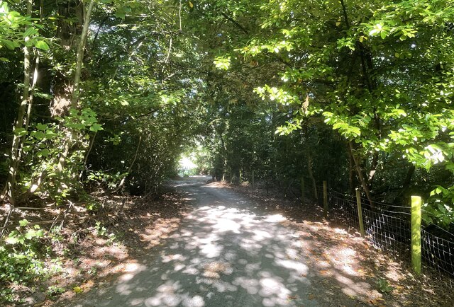
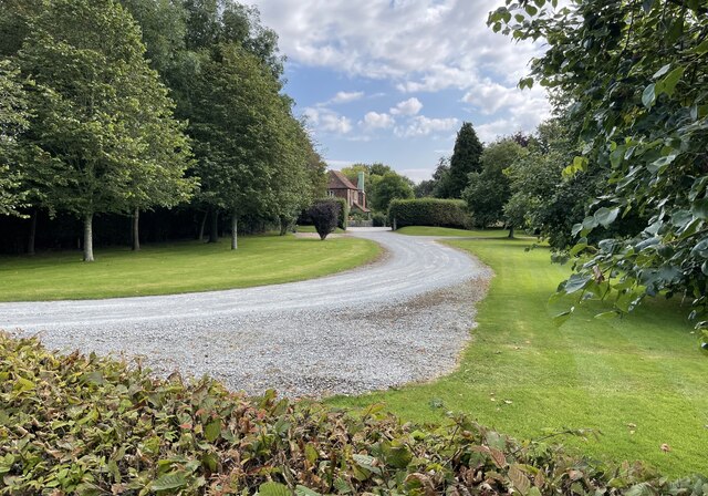
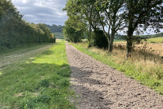
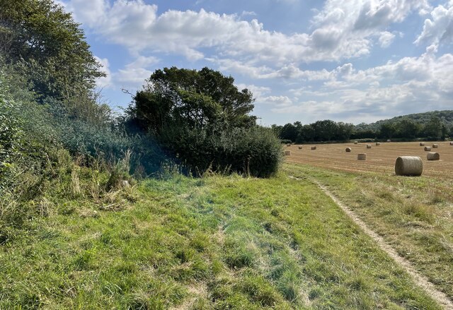
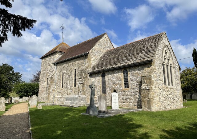
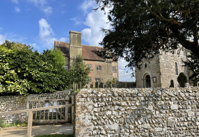
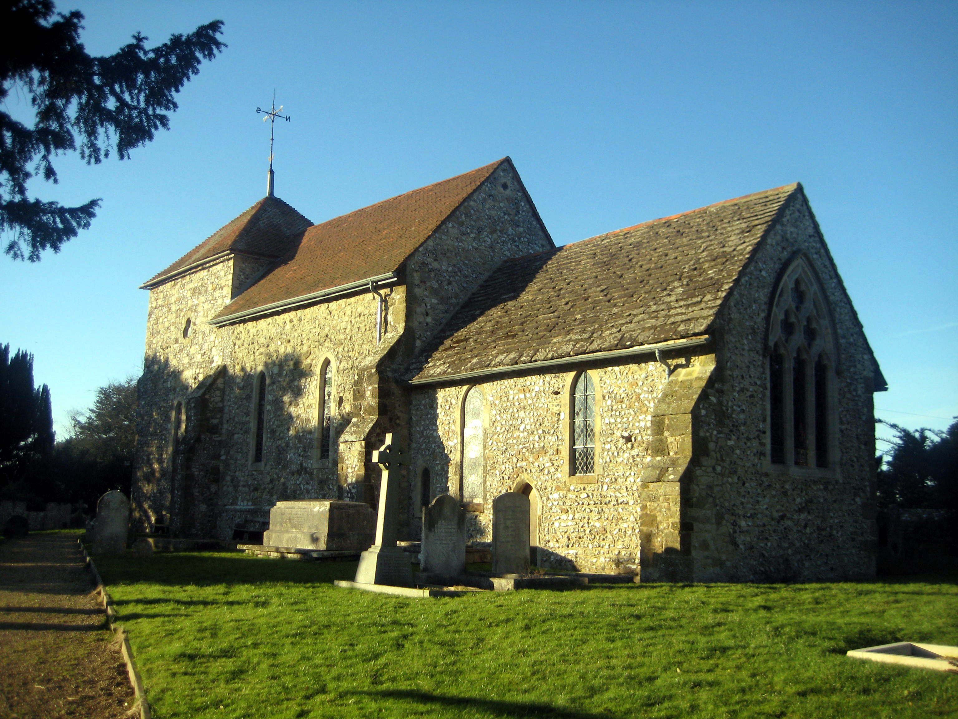
Highden Hill Images
Images are sourced within 2km of 50.895589/-0.42092976 or Grid Reference TQ1111. Thanks to Geograph Open Source API. All images are credited.


Highden Hill is located at Grid Ref: TQ1111 (Lat: 50.895589, Lng: -0.42092976)
Administrative County: West Sussex
District: Horsham
Police Authority: Sussex
What 3 Words
///regaining.reheat.rank. Near Washington, West Sussex
Nearby Locations
Related Wikis

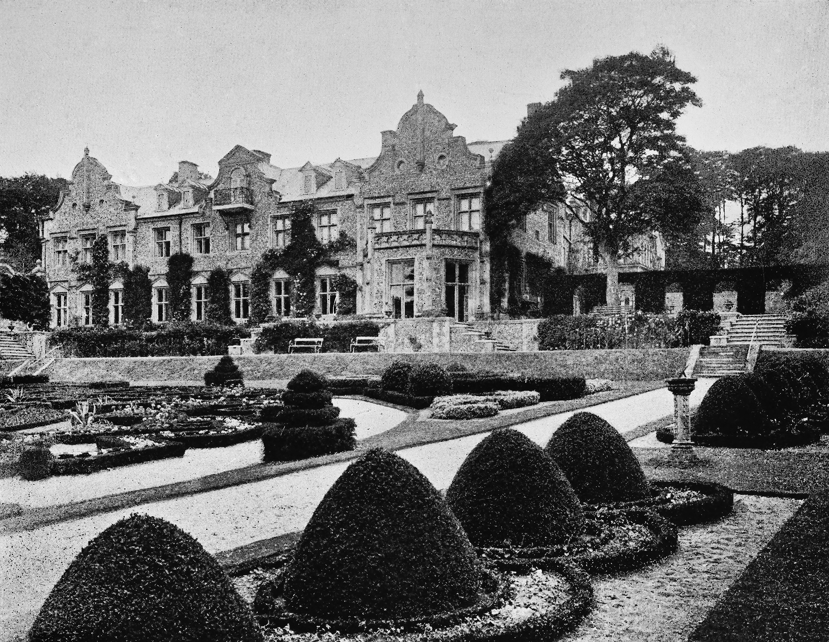
Windlesham House School
Windlesham House School is an independent boarding and day school for boys and girls aged 4 to 13 on the South Downs, in Pulborough, West Sussex, England...

Washington, West Sussex
Washington is a village and civil parish in the Horsham District of West Sussex, England. It is located five miles (eight kilometres) west of Steyning...
Sullington
Sullington is a village and former civil parish, now in the parish of Storrington and Sullington, in the Horsham district of West Sussex, England. The...
Muntham Court
Muntham Court was a country house and estate near a village of Findon, West Sussex, England. In the 1800s the estate covered 1,890 acres (760 ha). Following...
Nearby Amenities
Located within 500m of 50.895589,-0.42092976Have you been to Highden Hill?
Leave your review of Highden Hill below (or comments, questions and feedback).