Beacon Hill
Hill, Mountain in Yorkshire Scarborough
England
Beacon Hill

Beacon Hill is a prominent hill located in the Yorkshire Dales National Park, in the county of Yorkshire, England. Standing at an elevation of approximately 1,000 feet (305 meters), it is a popular destination for hikers and nature enthusiasts due to its stunning panoramic views and rich natural beauty.
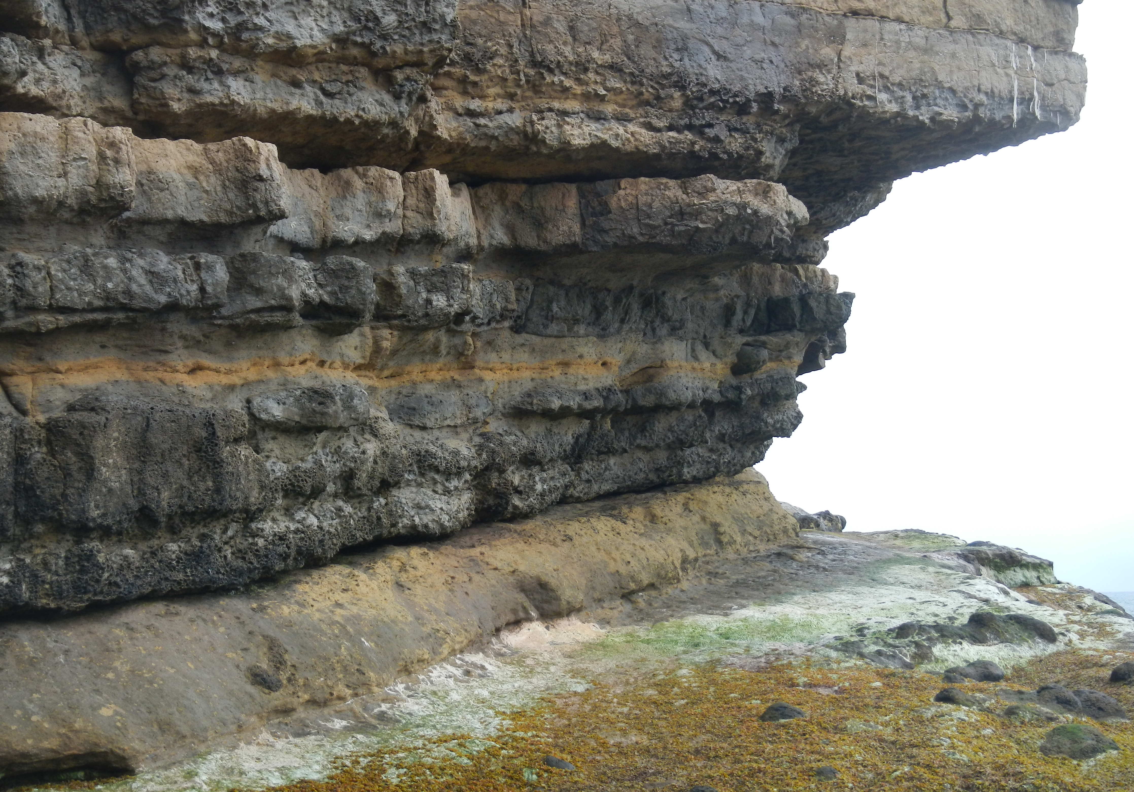
The hill is characterized by its rolling green meadows, rugged limestone cliffs, and scattered patches of woodland, creating a diverse and picturesque landscape. It is home to a variety of wildlife, including rare bird species, such as peregrine falcons and red kites, as well as wildflowers and plants that flourish in the area's limestone soil.
At the summit of Beacon Hill, there is a stone beacon which has historically served as a navigational marker and signal point. This beacon, along with others in the region, played a crucial role in transmitting warnings and messages during times of conflict and war.
Visitors to Beacon Hill can enjoy a network of well-maintained footpaths and trails that crisscross the hill, offering opportunities for leisurely walks or more challenging hikes. The hill is also a popular spot for paragliding and hang gliding, with enthusiasts taking advantage of the favorable wind conditions and breathtaking views.
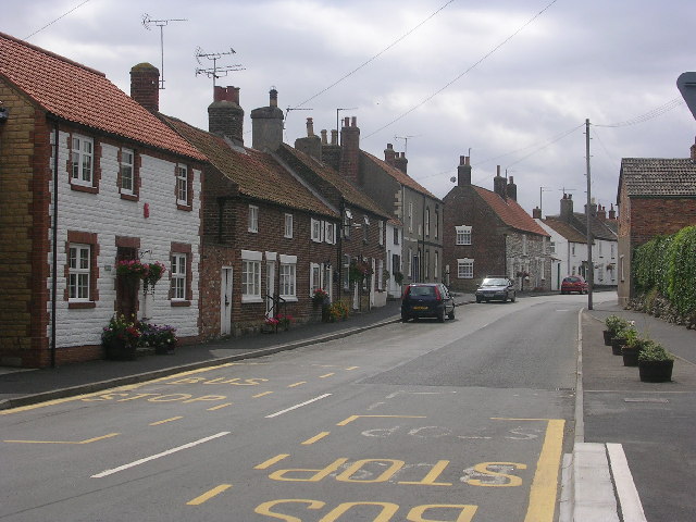
The nearby village of Grassington provides amenities and services for those visiting Beacon Hill, including cafes, pubs, and accommodation options. Additionally, the hill is within close proximity to other attractions in the Yorkshire Dales National Park, making it an ideal base for exploring the region's natural wonders.
Overall, Beacon Hill is a captivating destination that showcases the beauty and charm of the Yorkshire countryside, making it a must-visit for outdoor enthusiasts and nature lovers alike.
If you have any feedback on the listing, please let us know in the comments section below.
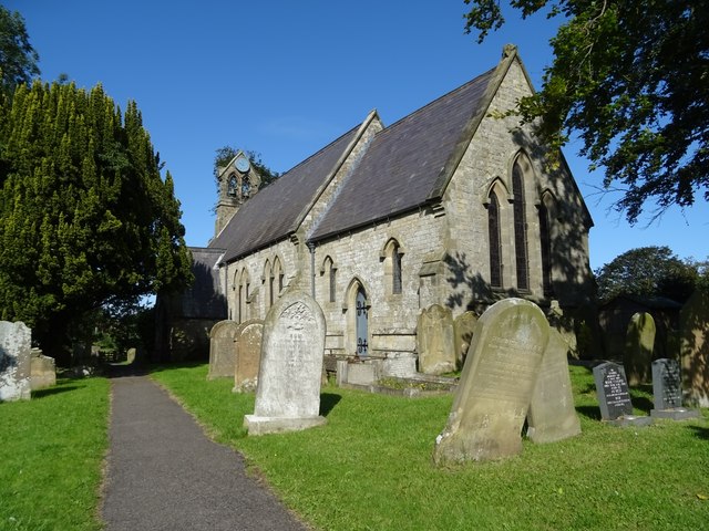
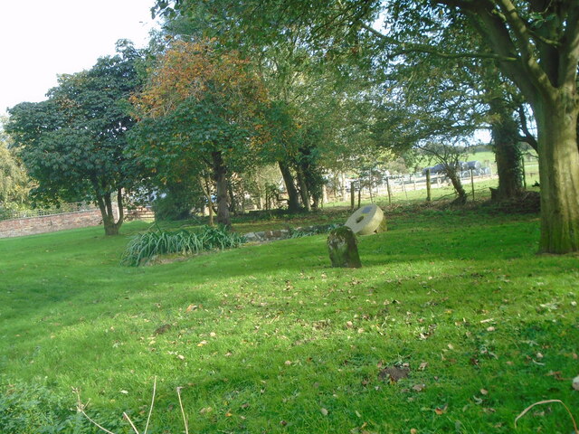
Beacon Hill Images
Images are sourced within 2km of 54.20551/-0.31066474 or Grid Reference TA1080. Thanks to Geograph Open Source API. All images are credited.


Beacon Hill is located at Grid Ref: TA1080 (Lat: 54.20551, Lng: -0.31066474)
Division: East Riding
Administrative County: North Yorkshire
District: Scarborough
Police Authority: North Yorkshire
What 3 Words
///bluff.bunch.captions. Near Filey, North Yorkshire
Nearby Locations
Related Wikis

Filey School
Filey School (named Ebor Academy Filey for a time) is a secondary school located in Filey, North Yorkshire, England. It is the only secondary school in...
Passage Beds
The Passage Beds is a member of the Corallian Oolite Formation, a geologic formation in England. The subtidal to marine sandstone preserves fossils of...
Muston, North Yorkshire
Muston is a village and civil parish, in North Yorkshire, England. It was historically in the East Riding of Yorkshire. The village is situated 1.5 miles...
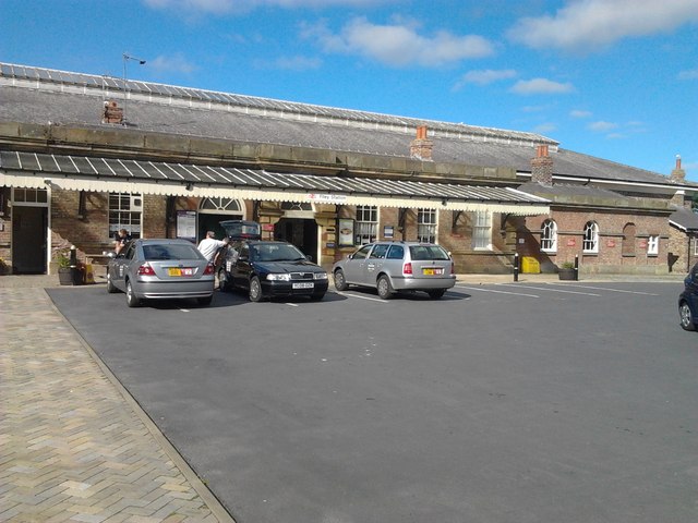
Filey railway station
Filey railway station is a Grade II* listed station opened in 1846 on the Hull to Scarborough Line, which serves the seaside town of Filey in North Yorkshire...
Nearby Amenities
Located within 500m of 54.20551,-0.31066474Have you been to Beacon Hill?
Leave your review of Beacon Hill below (or comments, questions and feedback).