Gorse Hill

Hill, Mountain in Lincolnshire North Kesteven

England

Gorse Hill

Former church of St Nicholas, Spanby Built in 1881 (replacing a medieval church at a different site), but made redundant in 1973 <span class="nowrap"><a title="https://www.stnicholascenter.org/gazetteer/1560" rel="nofollow ugc noopener" href="https://www.stnicholascenter.org/gazetteer/1560">Link</a><img style="margin-left:2px;" alt="External link" title="External link - shift click to open in new window" src="https://s1.geograph.org.uk/img/external.png" width="10" height="10"/></span> . Services are now being put in to allow use as a home.
Former church of St Nicholas, Spanby Credit: Tim Heaton

Gorse Hill is a small hill located in the county of Lincolnshire in eastern England. Situated near the town of Grantham, it is part of the larger Lincolnshire Wolds, a designated Area of Outstanding Natural Beauty.

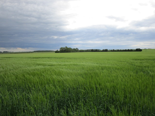
At an elevation of approximately 168 meters (551 feet), Gorse Hill is not considered a mountain but rather a hill. It is characterized by its gently sloping terrain covered in lush green grass and scattered patches of gorse bushes, from which it takes its name. Gorse is a spiny evergreen shrub that blooms with bright yellow flowers in the spring and summer, creating a vivid and picturesque landscape.

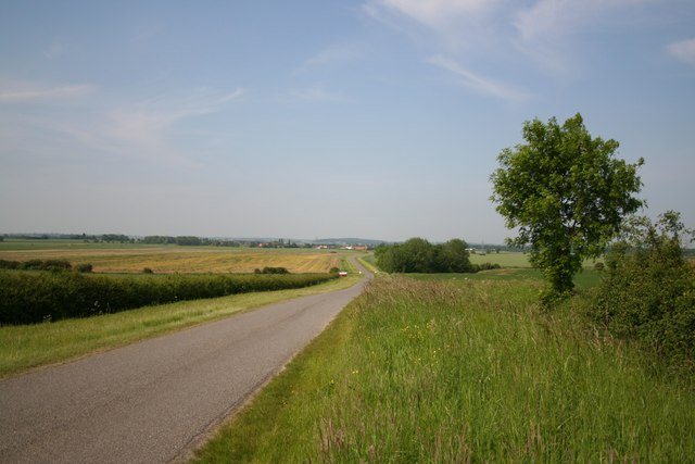
Visitors to Gorse Hill can enjoy breathtaking panoramic views of the surrounding countryside and the Lincolnshire Wolds. On clear days, it is possible to see as far as the city of Lincoln to the north and even the coastline of Norfolk to the east. The hill offers a peaceful and tranquil setting, ideal for nature enthusiasts, hikers, and picnickers.

Gorse Hill is also home to a variety of wildlife, including rabbits, hares, and various bird species. The area is a designated site of scientific interest due to its diverse flora and fauna.

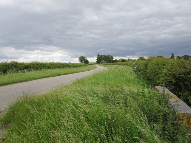
Access to Gorse Hill is relatively easy, with footpaths leading up to the summit from nearby villages and towns. The hill attracts both local residents and tourists, who come to enjoy the stunning views and experience the natural beauty of the Lincolnshire countryside.

If you have any feedback on the listing, please let us know in the comments section below.
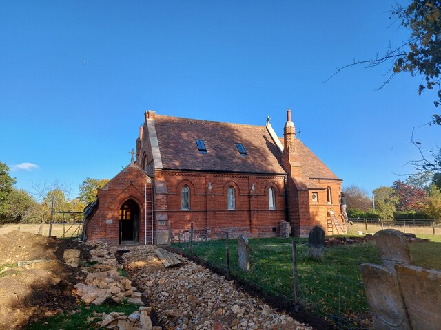
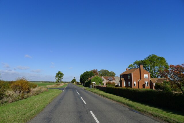
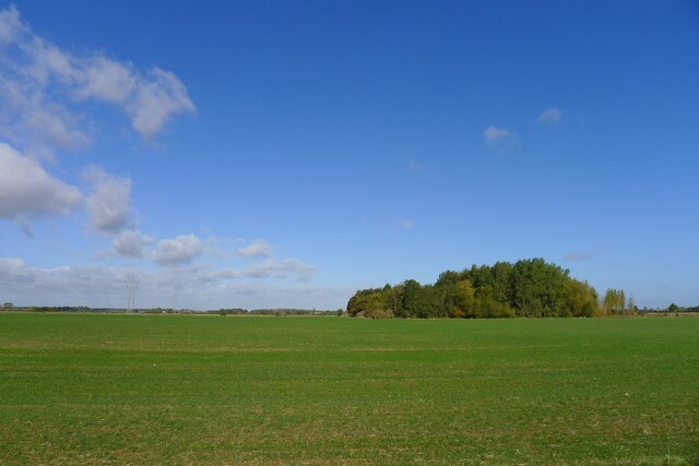
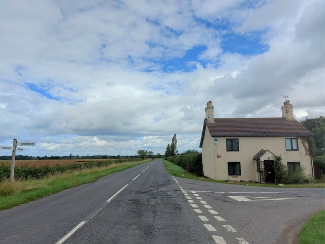
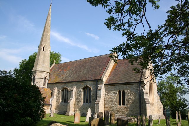
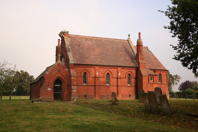
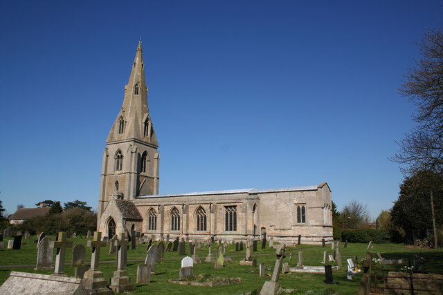
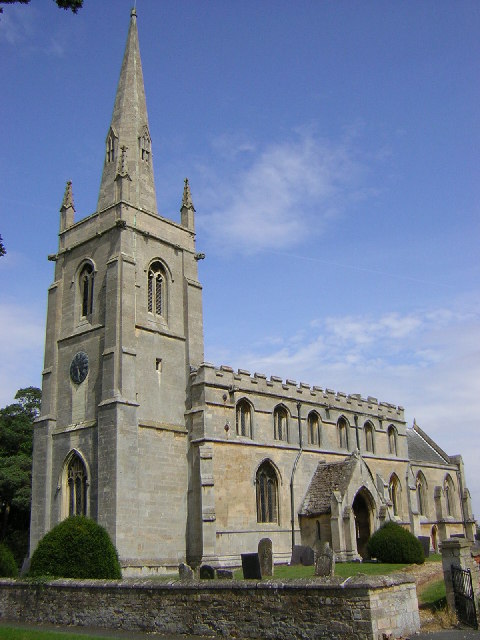
Gorse Hill Images

Images are sourced within 2km of 52.940833/-0.36422309 or Grid Reference TF1039. Thanks to Geograph Open Source API. All images are credited.

Former church of St Nicholas, Spanby Built in 1881 (replacing a medieval church at a different site), but made redundant in 1973 <span class="nowrap"><a title="https://www.stnicholascenter.org/gazetteer/1560" rel="nofollow ugc noopener" href="https://www.stnicholascenter.org/gazetteer/1560">Link</a><img style="margin-left:2px;" alt="External link" title="External link - shift click to open in new window" src="https://s1.geograph.org.uk/img/external.png" width="10" height="10"/></span> . Services are now being put in to allow use as a home.
Former church of St Nicholas, Spanby
Built in 1881 (replacing a medieval church at a different site), but made redundant in 1973 LinkExternal link . Services are now being put in to allow use as a home.
Mareham Lane passing Brickmakers Farm and the junction with The Drove Formerly the Brickmakers Arms public house. Brick making was common on Lincolnshire's Jurassic clays.
Mareham Lane passing Brickmakers Farm and the junction with The Drove
Formerly the Brickmakers Arms public house. Brick making was common on Lincolnshire's Jurassic clays.
Pylons at power line junction <a href="https://www.geograph.org.uk/photo/405609">TL7511 : Power line junction</a> gives a description of a similar structure
Pylons at power line junction
TL7511 : Power line junction gives a description of a similar structure
Probable site of ancient settlement west of Mareham Lane On the west side of the Roman road, Mareham Lane, <span class="nowrap"><a title="https://heritage-explorer.lincolnshire.gov.uk/Monument/MLI60358" rel="nofollow ugc noopener" href="https://heritage-explorer.lincolnshire.gov.uk/Monument/MLI60358">Link</a><img style="margin-left:2px;" alt="External link" title="External link - shift click to open in new window" src="https://s1.geograph.org.uk/img/external.png" width="10" height="10"/></span> reports  "A large area of complex cropmarks, including enclosures, hut circles and boundary ditches, is visible on aerial photographs. These are likely to represent a late Iron Age and/or Romano-British settlement."
Probable site of ancient settlement west of Mareham Lane
On the west side of the Roman road, Mareham Lane, LinkExternal link reports "A large area of complex cropmarks, including enclosures, hut circles and boundary ditches, is visible on aerial photographs. These are likely to represent a late Iron Age and/or Romano-British settlement."
Corner Cottage At the corner of Mareham Lane and Gorse Drove (right)
Corner Cottage
At the corner of Mareham Lane and Gorse Drove (right)
Gate House At the junction of Gorse Drove (ahead) and Poor Garden Road.
The former Bourne and Sleaford Railway line used to run across Gorse Drove just to the right of the house. I presume the house's name referred to a level crossing gate across the road.
Gate House
At the junction of Gorse Drove (ahead) and Poor Garden Road. The former Bourne and Sleaford Railway line used to run across Gorse Drove just to the right of the house. I presume the house's name referred to a level crossing gate across the road.
Barley field near Scredington
Helpringham Road, Scredington Looking towards Millfield Farm.
Helpringham Road, Scredington
Looking towards Millfield Farm.
Spanby Church This is a private property, note the sign on the door.
Spanby Church
This is a private property, note the sign on the door.
Scredington from Gorse Drove Footpath to Scredington from Gorse Hill with the spire of St.Andrew's church showing above the trees.
Scredington from Gorse Drove
Footpath to Scredington from Gorse Hill with the spire of St.Andrew's church showing above the trees.
Disused farm building on Mareham Lane Opposite Corner Cottage on Mareham Lane looking south
Disused farm building on Mareham Lane
Opposite Corner Cottage on Mareham Lane looking south
Northbeck & Scredington from Burton Cliff Looking down Scredington Road from Burton Cliff towards Northbeck
Northbeck & Scredington from Burton Cliff
Looking down Scredington Road from Burton Cliff towards Northbeck
Millfield Farm Seen from the corner of Helpringham Road and Gorse Lane
Millfield Farm
Seen from the corner of Helpringham Road and Gorse Lane
Old finger post All three directional signs are broken on this old finger post at the junction of Gorse Lane with Helpringham Road
Old finger post
All three directional signs are broken on this old finger post at the junction of Gorse Lane with Helpringham Road
Power line cross roads! This country road is called The Drove, a name that harks back to the old network of tracks used for moving cattle and sheep across this area.
Power line cross roads!
This country road is called The Drove, a name that harks back to the old network of tracks used for moving cattle and sheep across this area.
Farmland between Osbournby and Mareham Lane A field of young brassicas stretching away north. View point is on The Drove, the road pictured in <a href="https://www.geograph.org.uk/photo/336234">TF0838 : Power line cross roads!</a>.
Farmland between Osbournby and Mareham Lane
A field of young brassicas stretching away north. View point is on The Drove, the road pictured in TF0838 : Power line cross roads!.
Brickmaker's Farm, Spanby This brick farm house sits on Mareham Lane, an old Roman road from Sleaford  to Bourne, at the junction with The Drove.
Brickmaker's Farm, Spanby
This brick farm house sits on Mareham Lane, an old Roman road from Sleaford to Bourne, at the junction with The Drove.
Spanby Looking east near St.Nicholas' church at Spanby
Spanby
Looking east near St.Nicholas' church at Spanby
Show me another place!

Gorse Hill is located at Grid Ref: TF1039 (Lat: 52.940833, Lng: -0.36422309)

Administrative County: Lincolnshire

District: North Kesteven

Police Authority: Lincolnshire

What 3 Words

///mild.bookshelf.screeches. Near Billingborough, Lincolnshire

Nearby Locations

Neatfold Hill Gorse Hill

Related Wikis

Scredington

Scredington is a village and civil parish in the North Kesteven district of Lincolnshire, England. The population of the civil parish at the 2011 census...

Spanby

Spanby is a village and former civil parish in the North Kesteven district of Lincolnshire, England, about 5 miles (8 km) south from the town of Sleaford...

Aswarby and Scredington railway station

Aswarby and Scredington railway station was a station close to Scredington, Lincolnshire on the Great Northern Railway Bourne and Sleaford railway. It...

Threekingham

Threekingham (sometimes Threckingham or Tricengham) is a village in the North Kesteven district of Lincolnshire, England. The population of the civil parish...

Osbournby

Osbournby (locally pronounced Ozzenby or Ossenby) is a small village and civil parish in the North Kesteven district of Lincolnshire, England. The population...

Burton Pedwardine

Burton Pedwardine is a hamlet and civil parish in the district of North Kesteven, Lincolnshire, England. The population at the 2011 census was 187. The...

Aswarby

Aswarby () is a village in the civil parish of Aswarby and Swarby, in the North Kesteven district of Lincolnshire, England. It is 3.5 miles (5.6 km) south...

Helpringham railway station

Helpringham railway station was a station in Helpringham, Lincolnshire. The station was opened by the Great Northern and Great Eastern Joint Railway on...

Nearby Amenities

Located within 500m of 52.940833,-0.36422309
Power: tower
Lat/Long: 52.9409445/-0.3626774
Power: tower
Lat/Long: 52.9390432/-0.3622053
Gorse Hill
Place: locality
Source: Bing
Lat/Long: 52.940956/-0.3603294
Neatfold Hill
Place: locality
Source: Bing
Lat/Long: 52.9386356/-0.3630735
Whitegrose Farm
Place: farm
Source: Bing
Lat/Long: 52.9412508/-0.3646514
Gorse Hill
Place: locality
Source: Bing
Lat/Long: 52.9403484/-0.3696199
Power: tower
Lat/Long: 52.942967/-0.3630801
The data included in this document is from www.openstreetmap.org. The data is made available under ODbL.

Have you been to Gorse Hill?

Leave your review of Gorse Hill below (or comments, questions and feedback).