Cain Hill
Hill, Mountain in Bedfordshire
England
Cain Hill

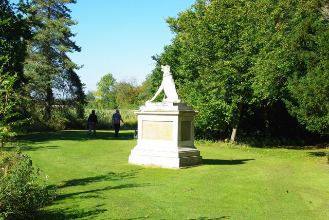
Cain Hill is a prominent hill located in the county of Bedfordshire, England. It is situated near the village of Clophill and lies within the Chiltern Hills Area of Outstanding Natural Beauty. With an elevation of approximately 140 meters (460 feet), Cain Hill offers stunning panoramic views of the surrounding countryside.
This hill is a popular destination for hikers, nature enthusiasts, and photographers due to its picturesque landscapes and tranquil atmosphere. The area is characterized by gently rolling hills, lush green meadows, and dense woodlands, providing a diverse range of habitats for various flora and fauna.
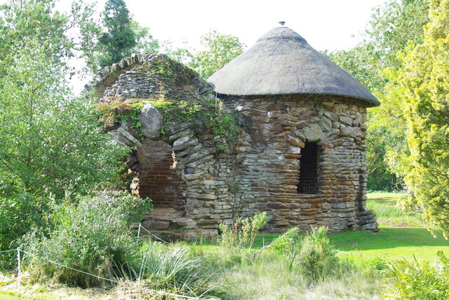
Cain Hill is also renowned for its historical significance. It is home to the ruins of the St. Mary's Church, which dates back to the 14th century. The church was partially destroyed during the English Civil War and its remains have become an intriguing and atmospheric site for visitors to explore.
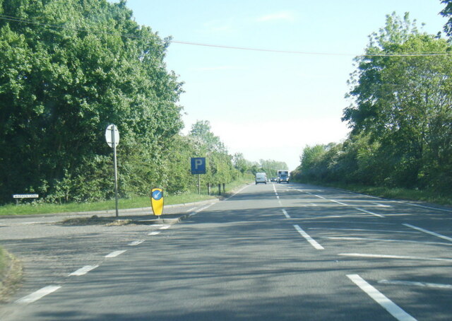
The hill itself is easily accessible, with several footpaths and trails leading to its summit. These paths are well-maintained, making it suitable for walkers of all abilities. Along the way, visitors may encounter an array of wildlife, including rabbits, deer, and a variety of bird species.
Overall, Cain Hill in Bedfordshire offers a delightful combination of natural beauty, historical charm, and recreational opportunities. Whether one is seeking a peaceful escape, a challenging hike, or an exploration of local history, Cain Hill is a destination that caters to a range of interests and provides a memorable experience.
If you have any feedback on the listing, please let us know in the comments section below.
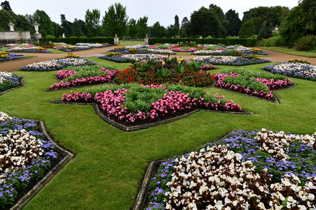
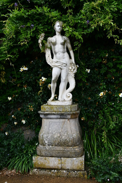
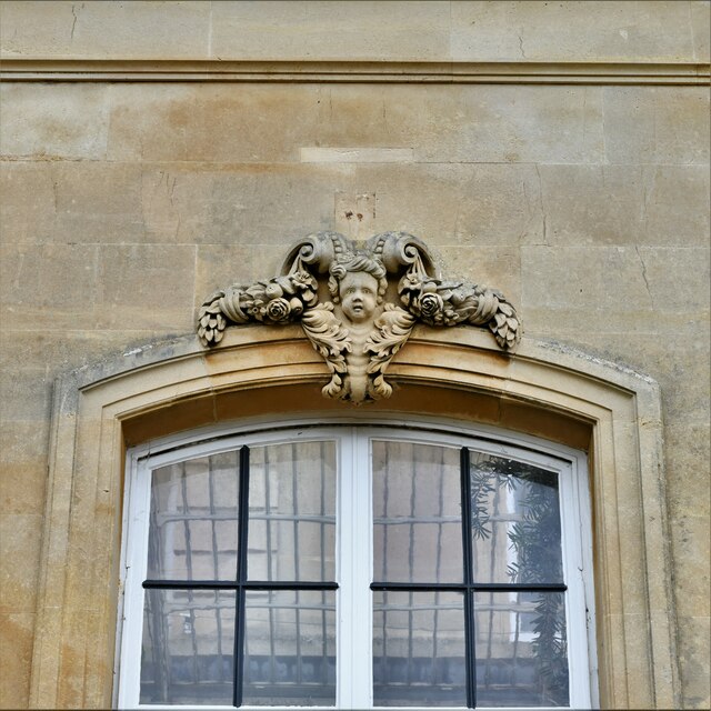
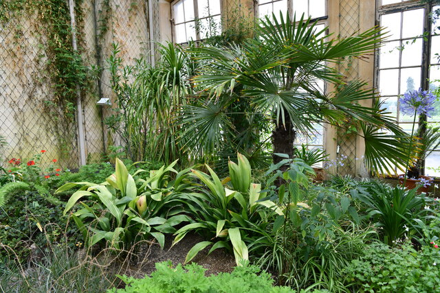
Cain Hill Images
Images are sourced within 2km of 52.006229/-0.40163545 or Grid Reference TL0935. Thanks to Geograph Open Source API. All images are credited.

Cain Hill is located at Grid Ref: TL0935 (Lat: 52.006229, Lng: -0.40163545)
Unitary Authority: Central Bedfordshire
Police Authority: Bedfordshire
What 3 Words
///bullion.consoled.daredevil. Near Silsoe, Bedfordshire
Nearby Locations
Related Wikis
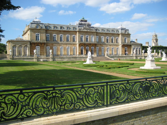
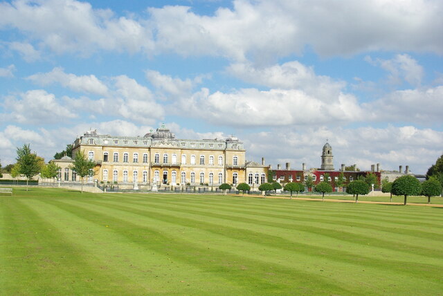
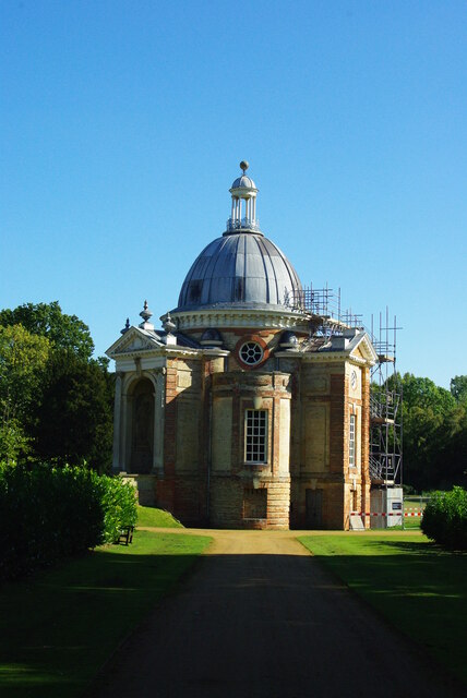
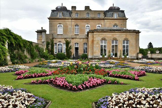
Wrest Park
Wrest Park is a country estate located in Silsoe, Bedfordshire, England. It comprises Wrest Park, a Grade I listed country house, and Wrest Park Gardens...

St Mary's Church, Lower Gravenhurst
St Mary's Church is a redundant Anglican church in the village of Lower Gravenhurst, Bedfordshire, England. It is recorded in the National Heritage List...

Silsoe
Silsoe is a village and civil parish in Bedfordshire, England. The village used to be on the main A6 road but a bypass around the village was opened in...

Upper Gravenhurst
Upper Gravenhurst is a village and former civil parish, now in the parish of Gravenhurst, in the Central Bedfordshire district of the ceremonial county...
Nearby Amenities
Located within 500m of 52.006229,-0.40163545Have you been to Cain Hill?
Leave your review of Cain Hill below (or comments, questions and feedback).