Chantry Hill
Hill, Mountain in Sussex Horsham
England
Chantry Hill
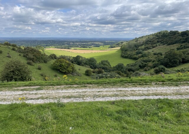
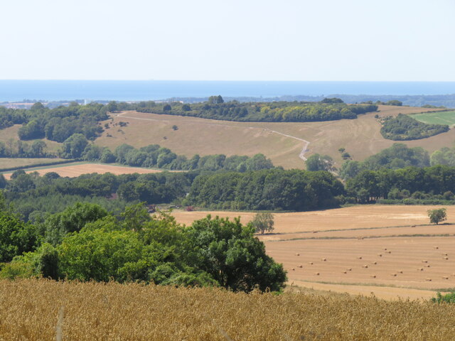
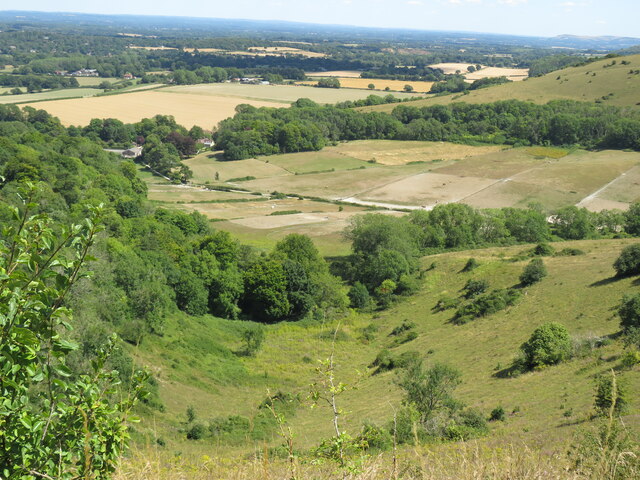
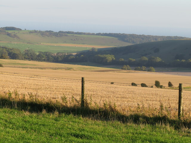
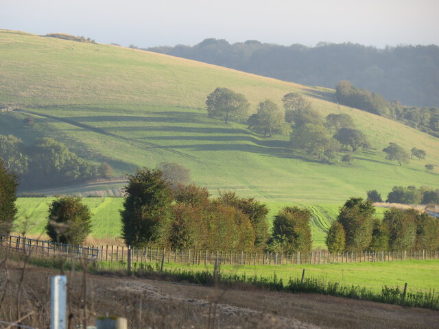
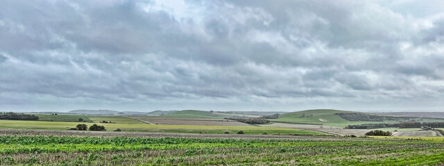
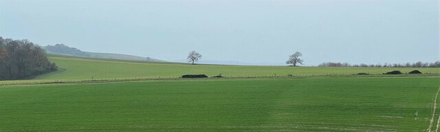
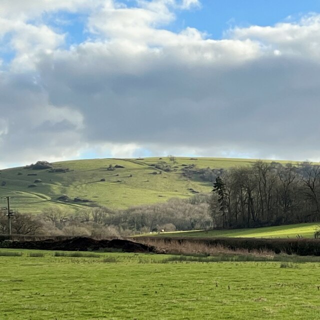
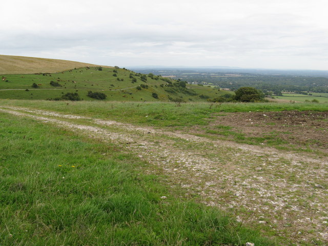
Chantry Hill is a prominent geographical feature located in the Sussex region of England. Situated near the town of Lewes, it is commonly referred to as a hill rather than a mountain due to its relatively modest elevation. Chantry Hill stands at an impressive height of approximately 180 meters (590 feet) above sea level, providing breathtaking panoramic views of the surrounding countryside.
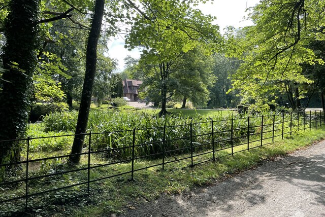
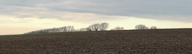
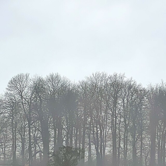
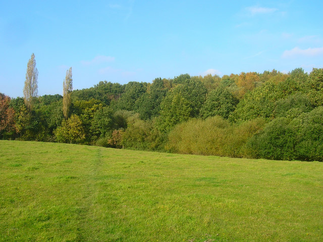
Covered in lush greenery and adorned with vibrant wildflowers during the warmer months, Chantry Hill is a popular destination for nature enthusiasts and hikers alike. The hill is characterized by its gently sloping terrain, making it accessible to individuals of varying fitness levels. Its well-maintained footpaths and trails offer visitors the opportunity to explore the area and enjoy the picturesque landscape.
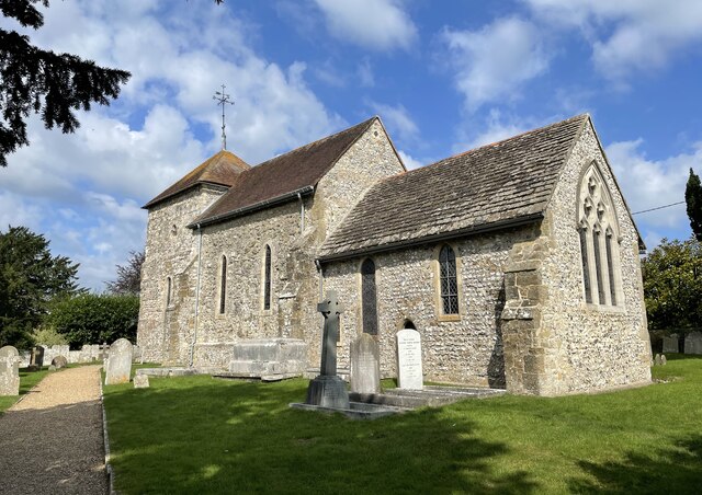
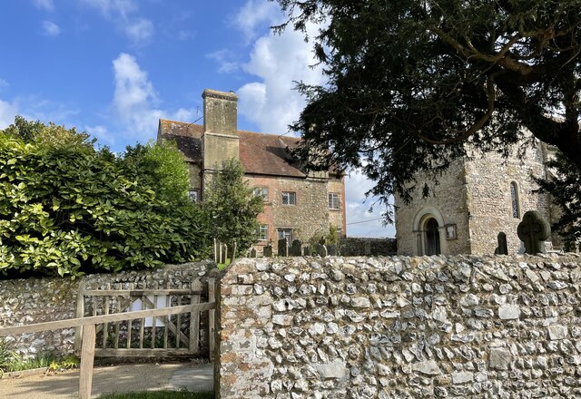
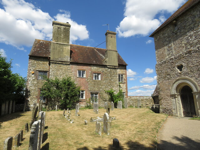
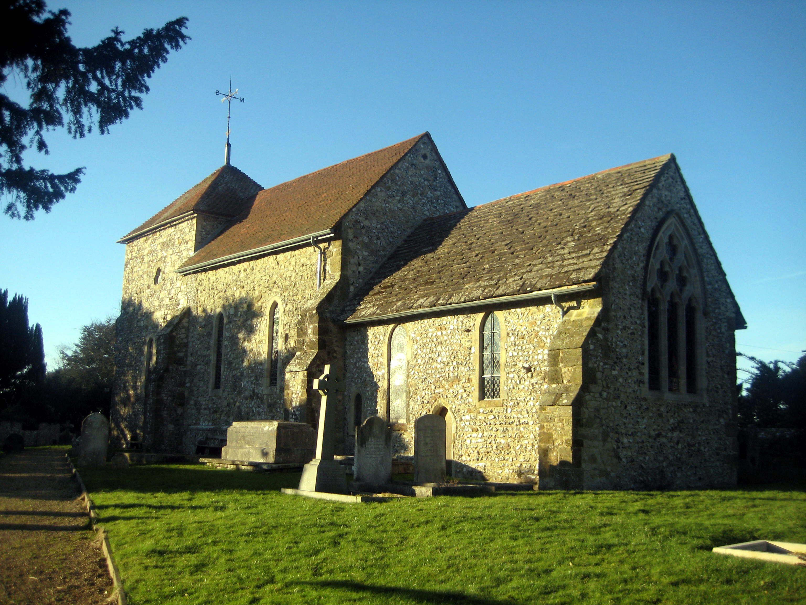
Chantry Hill is also steeped in history, with evidence of human settlement dating back thousands of years. Archaeological finds, including ancient burial mounds, have been discovered in the vicinity, highlighting the long-standing connection between people and the hill. Moreover, the area has been a site of religious significance, with a medieval chapel dedicated to St. Pancras once standing on its slopes.
Visitors to Chantry Hill can take advantage of the ample parking available nearby, allowing for convenient access to the hill's walking routes. The hill's strategic location also makes it an ideal spot for watching the sunset or simply immersing oneself in the tranquility of the natural surroundings.
In summary, Chantry Hill in Sussex offers a captivating blend of natural beauty, historical significance, and recreational opportunities, making it a cherished destination for locals and tourists alike.
If you have any feedback on the listing, please let us know in the comments section below.
Chantry Hill Images
Images are sourced within 2km of 50.901623/-0.460632 or Grid Reference TQ0812. Thanks to Geograph Open Source API. All images are credited.
Chantry Hill is located at Grid Ref: TQ0812 (Lat: 50.901623, Lng: -0.460632)
Administrative County: West Sussex
District: Horsham
Police Authority: Sussex
What 3 Words
///infringe.embraced.airfields. Near Storrington, West Sussex
Nearby Locations
Related Wikis

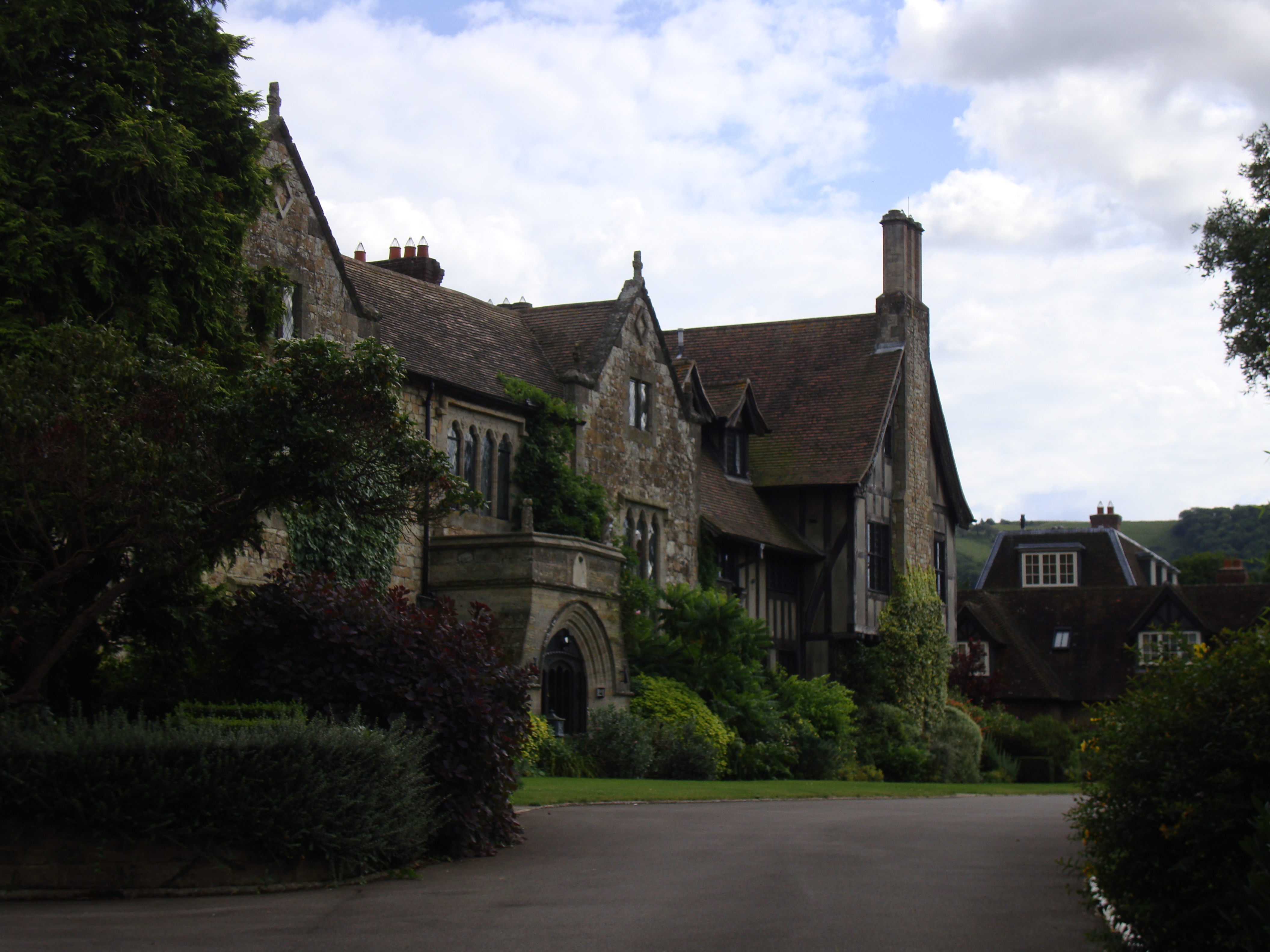
St Joseph's Hall
St Joseph's Hall in Greyfriars Lane, Storrington, West Sussex is a Grade II listed former residence of the Bishop of Arundel and Brighton. It was built...
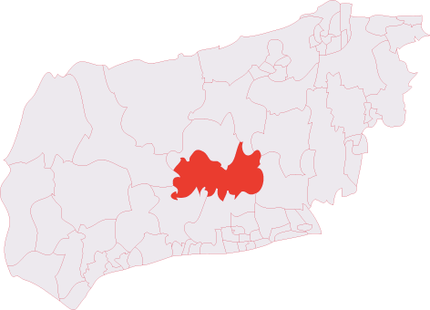
Storrington (electoral division)
Storrington is an electoral division of West Sussex in the United Kingdom and returns one member to West Sussex County Council. == Extent == The division...
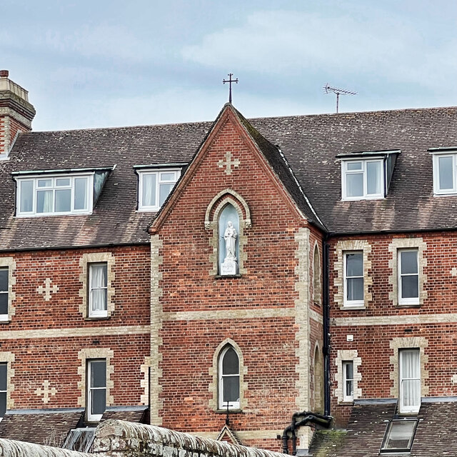
The Abbey, Storrington
St Joseph's Abbey (The Abbey), Storrington at Storrington in Sussex, England, was originally a rectory, later a small country house and then a convent...
Sullington
Sullington is a village and former civil parish, now in the parish of Storrington and Sullington, in the Horsham district of West Sussex, England. The...

Our Lady of England Priory
Our Lady of England Priory in Storrington, West Sussex, England is the former home of Roman Catholic priests belonging to a Community of Canons Regular...
Chantry Mill
Chantry Mill is a 8.7-hectare (21-acre) geological Site of Special Scientific Interest in Storrington in West Sussex. It is a Geological Conservation Review...
Storrington and Sullington
Storrington and Sullington is the name of a civil parish in the Horsham District of West Sussex, England. The parish covers both the town of Storrington...
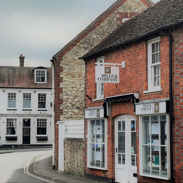
Storrington
Storrington is a town and former civil parish, now in the parish of Storrington and Sullington, in the Horsham district of West Sussex, England. Storrington...
Nearby Amenities
Located within 500m of 50.901623,-0.460632Have you been to Chantry Hill?
Leave your review of Chantry Hill below (or comments, questions and feedback).