Duck's Hill
Hill, Mountain in Middlesex
England
Duck's Hill

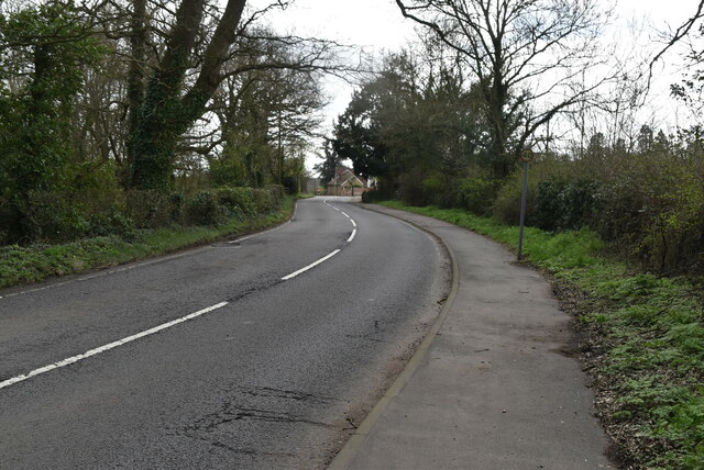
Duck's Hill is a small hill located in the county of Middlesex, England. Situated in the southwestern part of the county, it lies approximately 14 miles northwest of central London. Despite its name, Duck's Hill is not actually a hill or mountain by most definitions, but rather a gentle slope that forms part of the undulating landscape of the area.
The hill is surrounded by picturesque countryside, characterized by rolling fields and scattered woodlands. It offers panoramic views of the surrounding landscape, with glimpses of nearby villages and the city skyline in the distance. Duck's Hill is a popular spot for locals and visitors alike, who often come to enjoy the tranquility and natural beauty of the area.
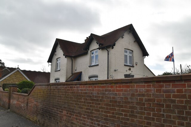
The hill is named after the nearby Duck's Hill Farm, a historic agricultural establishment that has been in operation for centuries. The farm, known for its dairy products and arable crops, is an integral part of the local community and contributes to the rural charm of the area.
Duck's Hill is also home to a variety of wildlife, including several species of birds, butterflies, and small mammals. The surrounding countryside provides habitats for these creatures, making it an ideal location for nature enthusiasts and birdwatchers.
Overall, Duck's Hill offers a peaceful retreat from the bustling urban environment of London. Its gentle slopes, picturesque views, and natural surroundings make it a perfect destination for those seeking a brief escape into the beauty of the Middlesex countryside.
If you have any feedback on the listing, please let us know in the comments section below.
Duck's Hill Images
Images are sourced within 2km of 51.602041/-0.44741764 or Grid Reference TQ0790. Thanks to Geograph Open Source API. All images are credited.


Duck's Hill is located at Grid Ref: TQ0790 (Lat: 51.602041, Lng: -0.44741764)
Unitary Authority: Hillingdon
Police Authority: Metropolitan
What 3 Words
///focal.verse.knee. Near Harefield, London
Nearby Locations
Related Wikis

Ruislip, Northwood and Pinner (UK Parliament constituency)
Ruislip, Northwood and Pinner is a constituency in Greater London represented in the House of Commons of the UK Parliament since 2019 by David Simmonds...
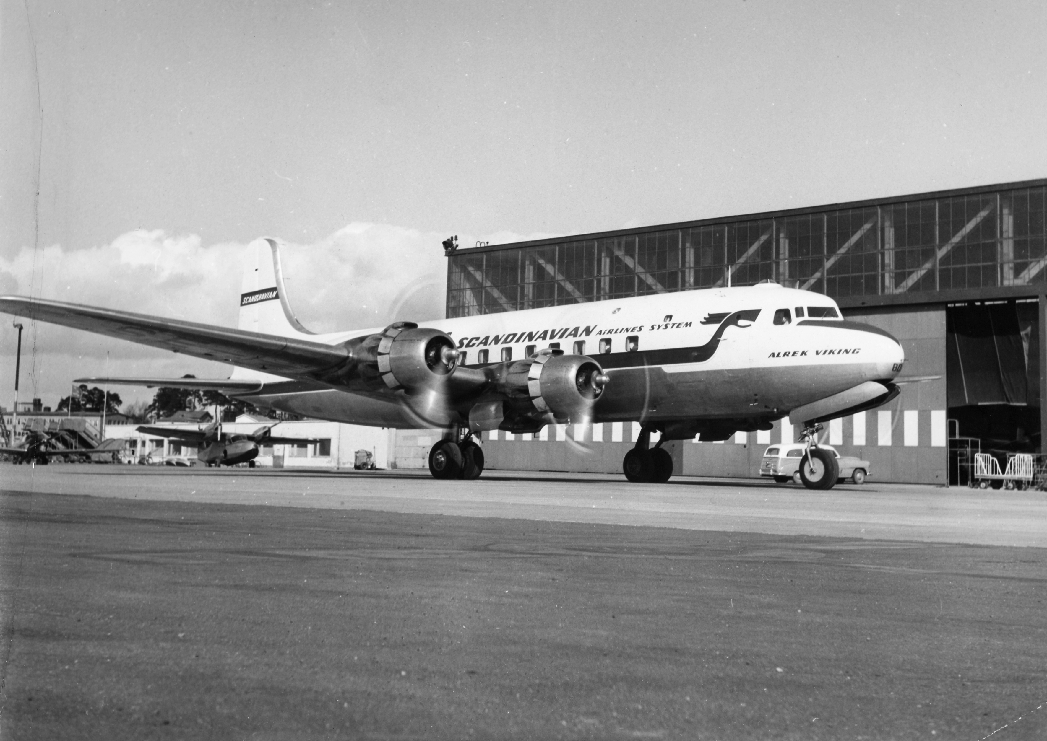
1948 Northwood mid-air collision
The 1948 Northwood mid-air collision took place on 4 July at 15:03 when a Douglas DC-6 of Scandinavian Airlines System (SAS) and an Avro York C.1 of the...

Denville Hall
Denville Hall is a historic building in Northwood, a town in the London Borough of Hillingdon, England, which is used as a retirement home for professional...
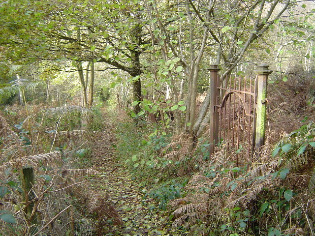
Ruislip Woods
Ruislip Woods is a Site of Special Scientific Interest and national nature reserve covering 726 acres (294 ha) in Ruislip in the London Borough of Hillingdon...

Northwood College
Northwood College for Girls is a private day school for girls aged 3 to 18. The school was founded in 1870 and is located in Northwood, London, England...
London School of Theology
The London School of Theology (LST), formerly London Bible College, is a British interdenominational evangelical theological college based in Northwood...
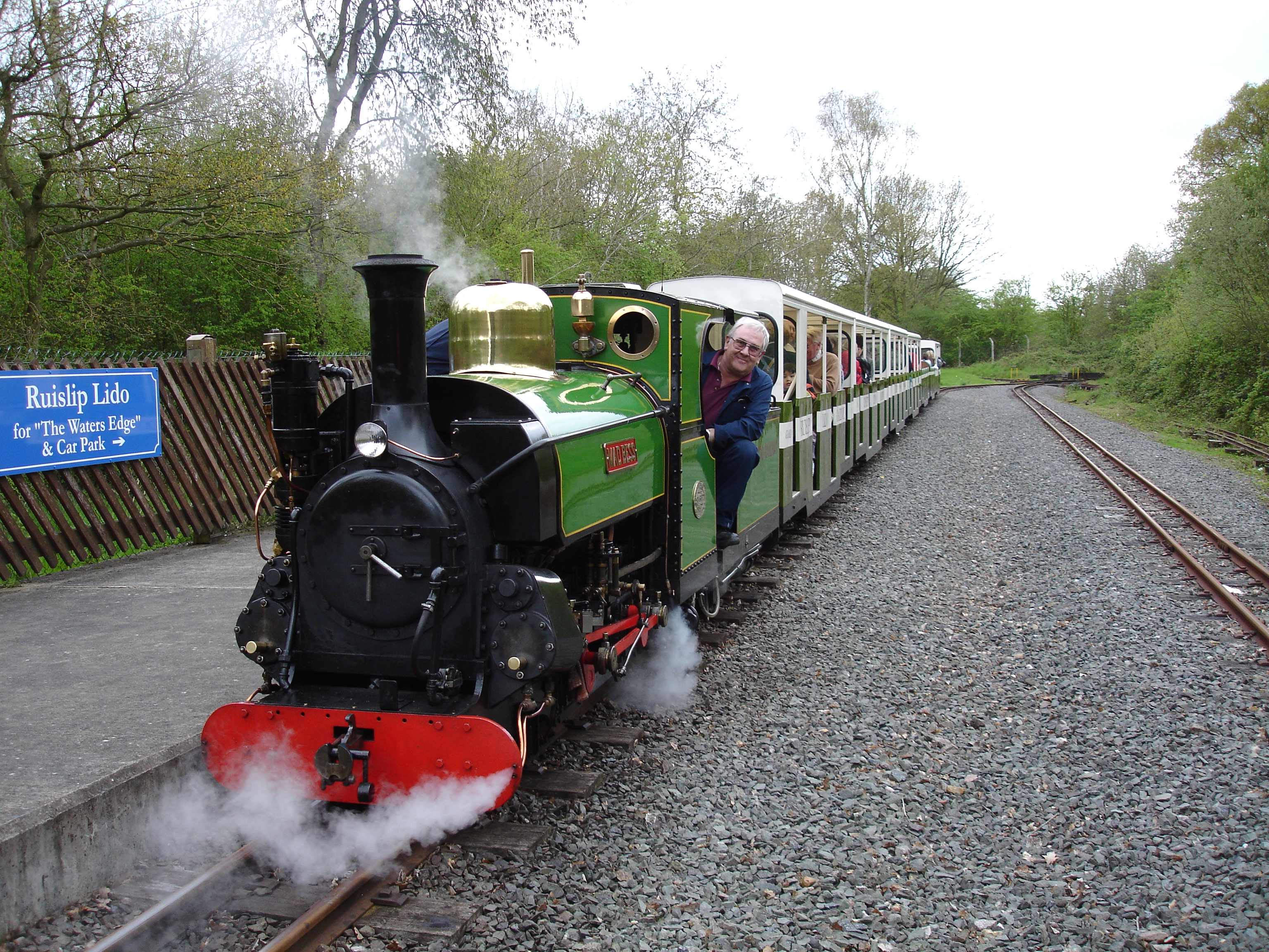
Ruislip Lido Railway
The Ruislip Lido Railway is a 12 in (305 mm) gauge miniature railway around Ruislip Lido in Ruislip, 14 miles (22.5 km) north-west of central London. Running...
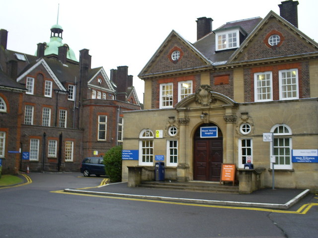
Mount Vernon Hospital
Mount Vernon Hospital is located in Northwood, an area of north-west Greater London. It is one of two hospitals run by The Hillingdon Hospitals NHS Foundation...
Nearby Amenities
Located within 500m of 51.602041,-0.44741764Have you been to Duck's Hill?
Leave your review of Duck's Hill below (or comments, questions and feedback).