Batchworth Heath Hill
Hill, Mountain in Hertfordshire Three Rivers
England
Batchworth Heath Hill

Batchworth Heath Hill is a prominent geographical feature located in Hertfordshire, England. Situated near the village of Moor Park, the hill is part of the larger Batchworth Heath landscape. Although referred to as a hill, it is more accurately classified as a gentle slope or rise in elevation rather than a mountain.
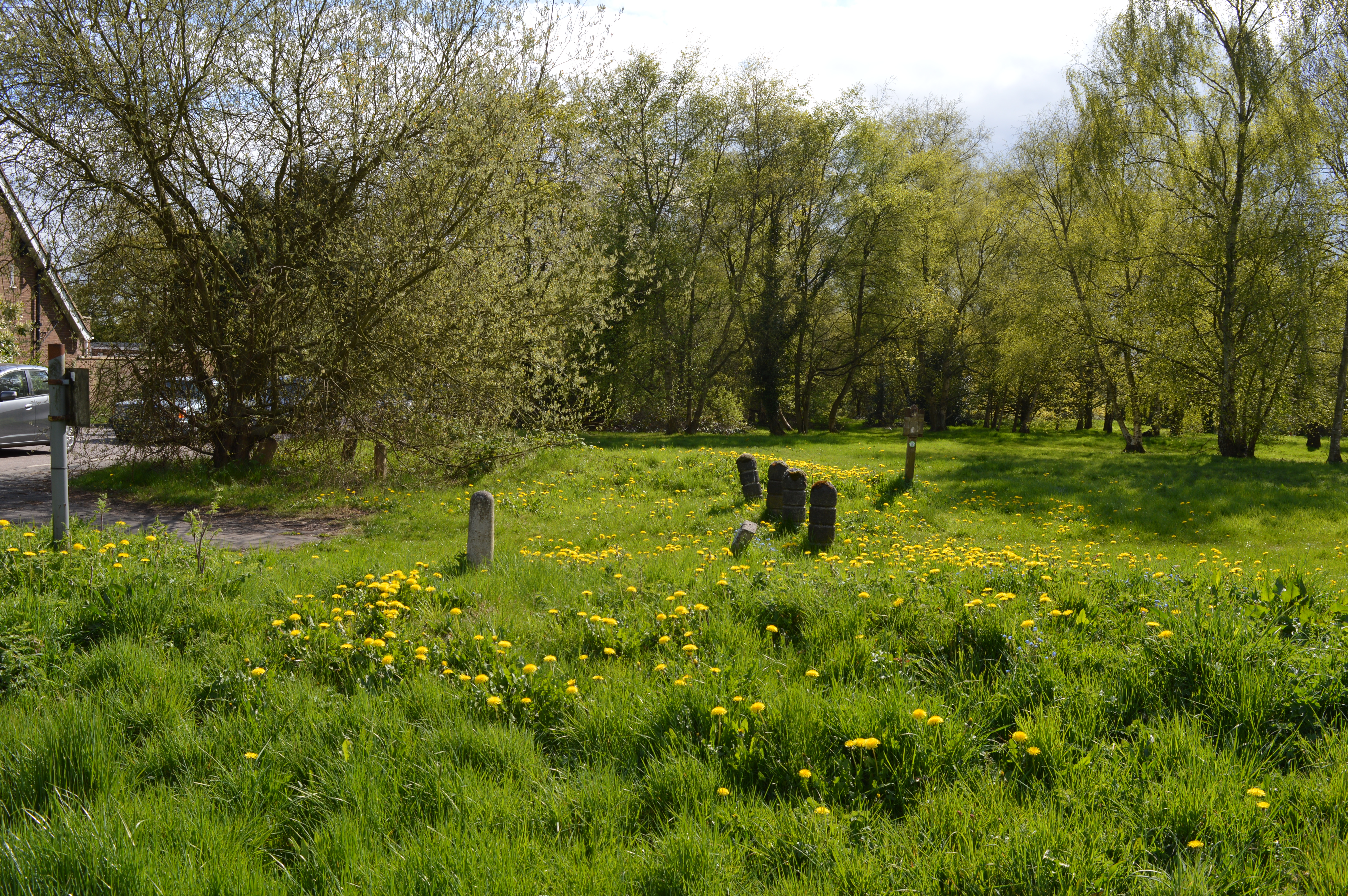
The hill itself is characterized by its gentle incline, covered in a mix of grass, shrubs, and trees. Its summit offers stunning panoramic views of the surrounding countryside, including the nearby Batchworth Heath Nature Reserve. The area is known for its natural beauty, attracting outdoor enthusiasts and nature lovers alike.
Batchworth Heath Hill is a popular destination for walkers, hikers, and cyclists due to its well-maintained footpaths and bridleways. It provides a tranquil escape from the hustle and bustle of nearby urban areas, offering visitors a chance to immerse themselves in the peacefulness of the countryside.
The hill is also of historical significance, with evidence of human habitation in the area dating back to the Iron Age. Archaeological findings, such as ancient burial mounds, have been discovered on its slopes, adding to its cultural importance.
Overall, Batchworth Heath Hill is a picturesque and accessible natural landmark, offering visitors the opportunity to explore the beauty of Hertfordshire's countryside while also delving into its rich history. Whether for leisurely walks, scenic views, or archaeological interest, this hill provides a diverse range of attractions for all who visit.
If you have any feedback on the listing, please let us know in the comments section below.
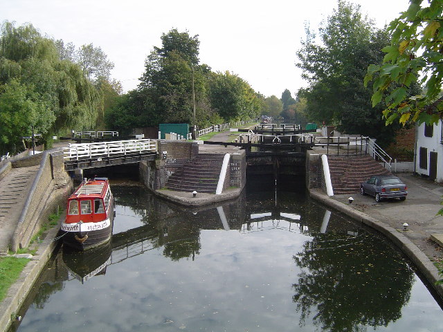
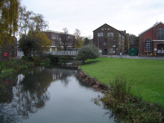
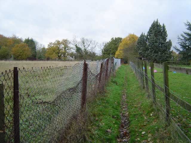
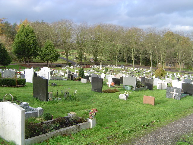
Batchworth Heath Hill Images
Images are sourced within 2km of 51.620679/-0.44995966 or Grid Reference TQ0792. Thanks to Geograph Open Source API. All images are credited.


Batchworth Heath Hill is located at Grid Ref: TQ0792 (Lat: 51.620679, Lng: -0.44995966)
Administrative County: Hertfordshire
District: Three Rivers
Police Authority: Hertfordshire
What 3 Words
///buyers.whites.early. Near Rickmansworth, Hertfordshire
Nearby Locations
Related Wikis
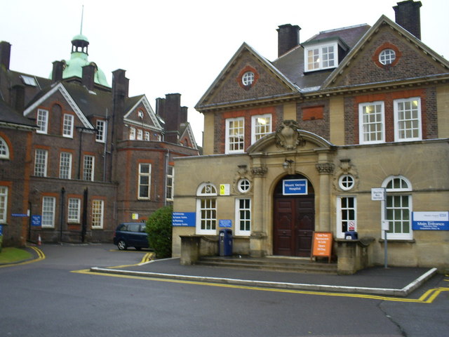
Mount Vernon Hospital
Mount Vernon Hospital is located in Northwood, an area of north-west Greater London. It is one of two hospitals run by The Hillingdon Hospitals NHS Foundation...

Moor Park Golf Club
Moor Park Golf Club is a country club located in Rickmansworth, Hertfordshire, England. It has two eighteen-hole golf courses, the High Course and the...
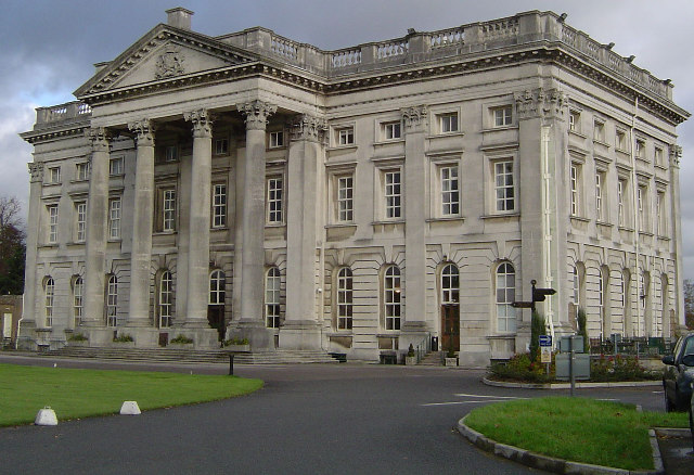
Moor Park (house)
Moor Park is a Neo-Palladian mansion set within several hundred acres of parkland to the south-east of Rickmansworth in Hertfordshire, England. It is called...
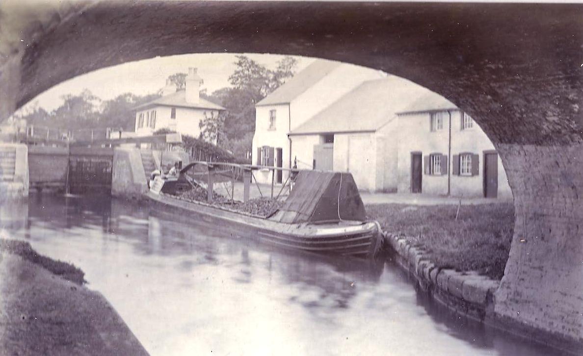
Batchworth
Batchworth was once a hamlet and is now a civil parish and part of Rickmansworth in Hertfordshire. The parish of Batchworth was created on 1 April 2017...

Denville Hall
Denville Hall is a historic building in Northwood, a town in the London Borough of Hillingdon, England, which is used as a retirement home for professional...
London School of Theology
The London School of Theology (LST), formerly London Bible College, is a British interdenominational evangelical theological college based in Northwood...
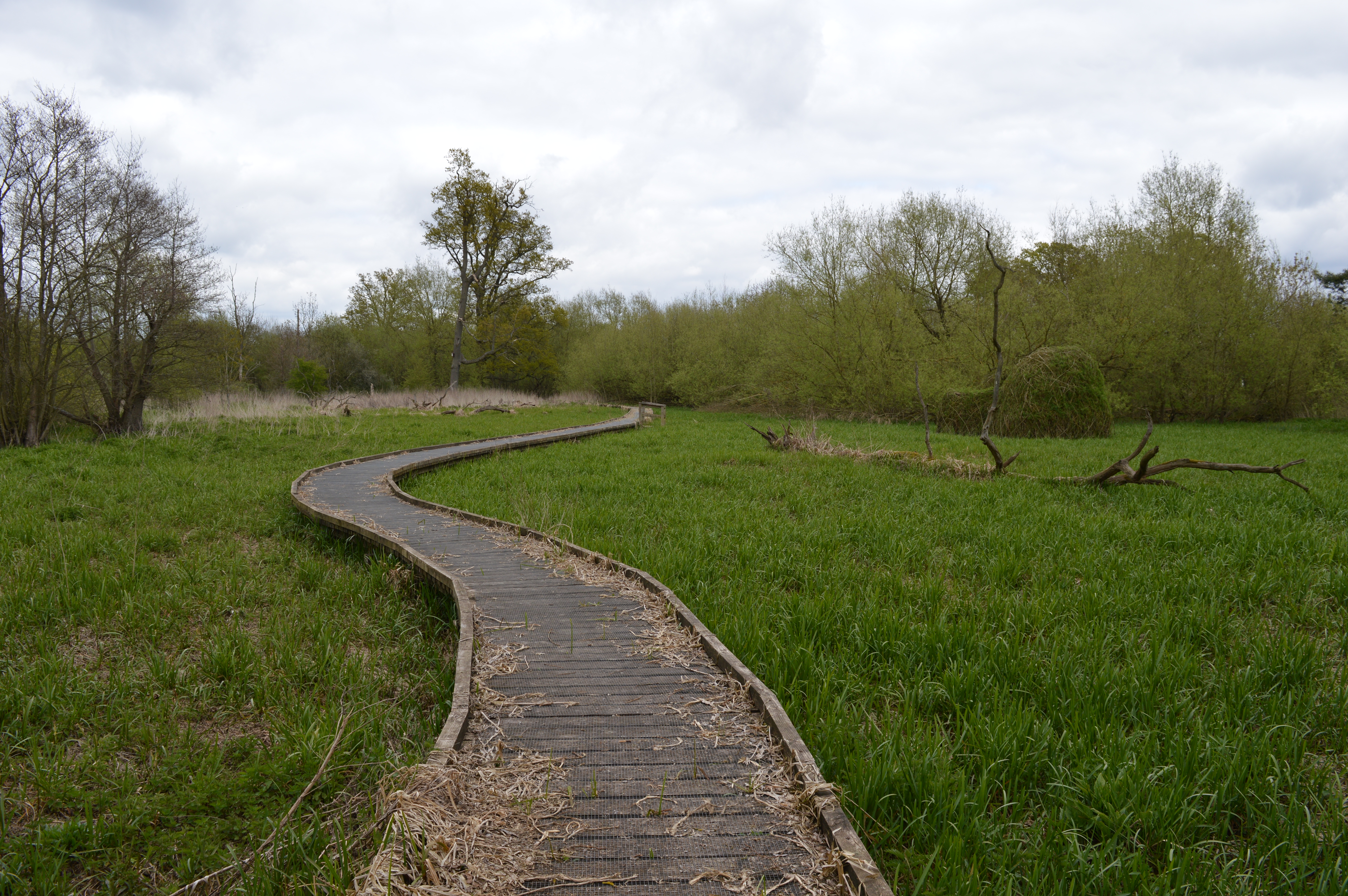
The Withey Beds
The Withey Beds is a 7.5 hectare Local Nature Reserve (LNR) in Rickmansworth in Hertfordshire. It was declared an LNR in 2004 by Three Rivers District...
Batchworth Heath
Batchworth Heath is 4 hectares (10 acres) of designated common land in Rickmansworth, Hertfordshire, around the junction of Batchworth Heath Hill, Batchworth...
Nearby Amenities
Located within 500m of 51.620679,-0.44995966Have you been to Batchworth Heath Hill?
Leave your review of Batchworth Heath Hill below (or comments, questions and feedback).