Barpham Hill

Hill, Mountain in Sussex Arun

England

Barpham Hill

View north towards Springhead Hill This is a cross-grid shot. The camera was near the northern boundary of the square to the south.
View north towards Springhead Hill Credit: Ian Cunliffe

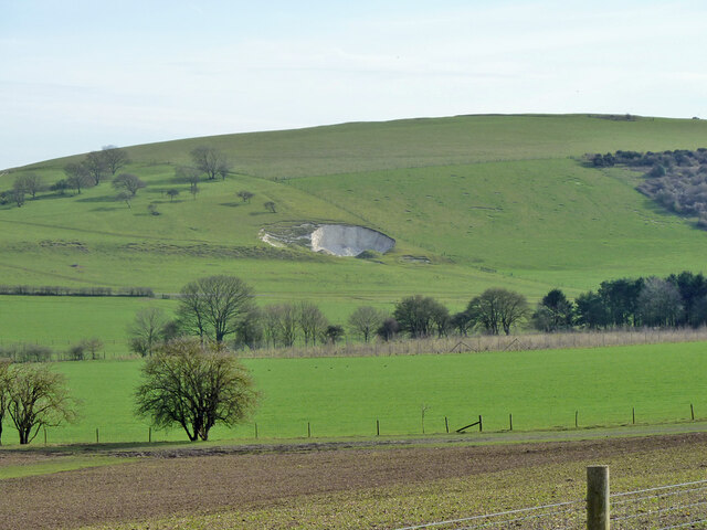
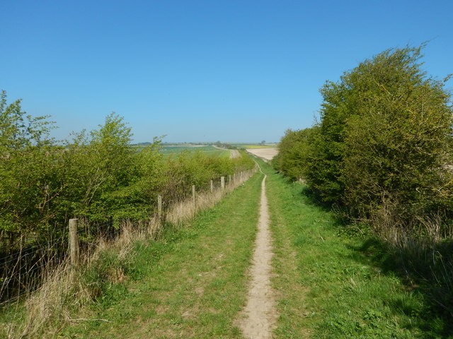
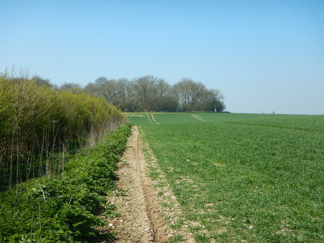
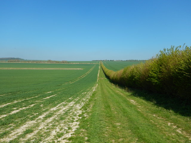
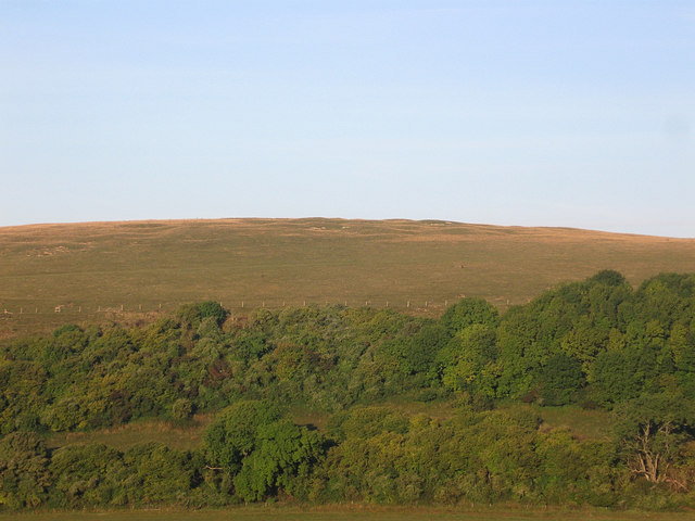
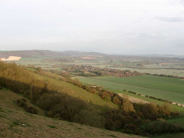
Barpham Hill, located in the county of Sussex, England, is a prominent hill that stands at an elevation of approximately 206 meters (676 feet) above sea level. Situated in the South Downs, this chalk hill is a notable landmark in the area, offering breathtaking panoramic views of the surrounding countryside.

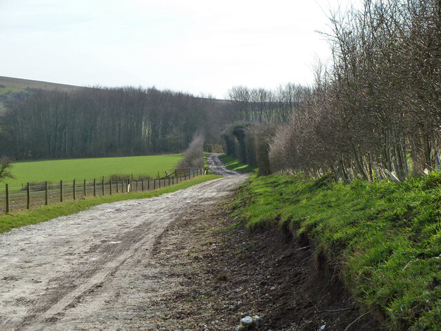
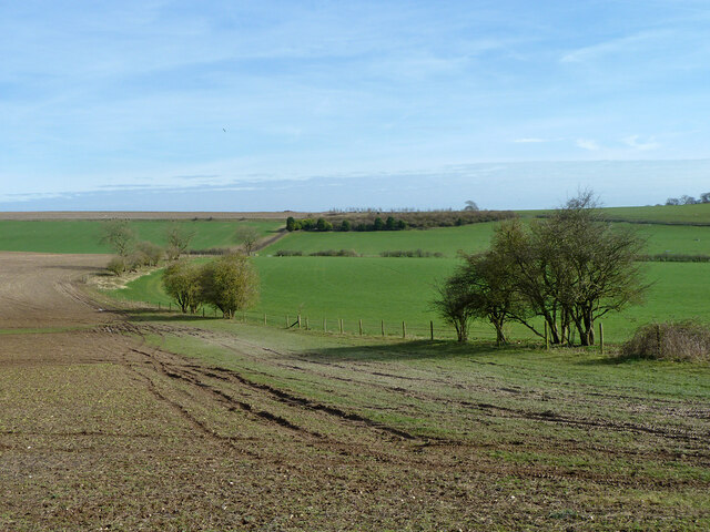
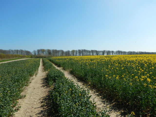
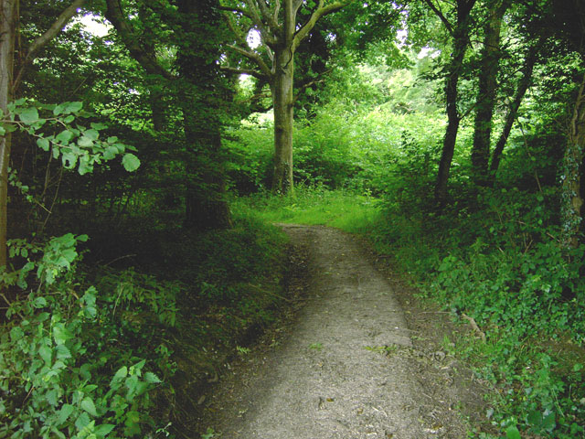
Covered in lush greenery and dotted with vibrant wildflowers during the spring and summer months, Barpham Hill is a popular destination for nature lovers and hikers alike. Its gentle slopes and well-maintained footpaths make it accessible to people of all ages and fitness levels.

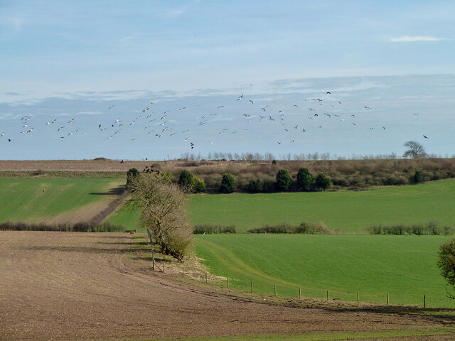
The hill is home to a diverse range of flora and fauna, with the presence of various plant species such as wild thyme, cowslips, and harebells. These, in turn, attract a variety of wildlife, including butterflies, bees, and birds, making it an ideal spot for birdwatching and nature photography.

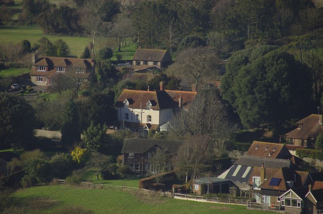
At its summit, one can find a small trig point, marking the highest point on the hill. From this vantage point, visitors can enjoy stunning views of the surrounding countryside, including the nearby villages, farmland, and the rolling hills of the South Downs National Park.

With its natural beauty and tranquil atmosphere, Barpham Hill offers visitors a peaceful retreat from the hustle and bustle of daily life, providing a perfect opportunity to connect with nature and appreciate the picturesque scenery that Sussex has to offer.

If you have any feedback on the listing, please let us know in the comments section below.

Barpham Hill Images

Images are sourced within 2km of 50.874659/-0.48586824 or Grid Reference TQ0609. Thanks to Geograph Open Source API. All images are credited.

View north towards Springhead Hill This is a cross-grid shot. The camera was near the northern boundary of the square to the south.
View north towards Springhead Hill
This is a cross-grid shot. The camera was near the northern boundary of the square to the south.
Farm track towards Lee Farm Also bridleway 2252, Storrington and Sullington.
Farm track towards Lee Farm
Also bridleway 2252, Storrington and Sullington.
View over bottom north of Lee Farm
Birds near Lee Farm Gulls and some sort of crow, possibly Rooks.
Birds near Lee Farm
Gulls and some sort of crow, possibly Rooks.
Farmland north of Lee Farm
Track towards Burpham High Barn The track leads SSW towards Burpham High Barn. In the original image, buildings there are visible - close to the lowest point on the skyline, near the right-hand margin.  On the left-hand side of the picture, the clump of trees on the skyline is known as Norfolk Clump.

Photo taken on the last day of September, 2015.  I stood on much the same spot four years earlier, and pointed my camera in much the same direction to take: <a href="https://www.geograph.org.uk/photo/2710486">TQ0510 : A foggy day on the Downs (1)</a>
Track towards Burpham High Barn
The track leads SSW towards Burpham High Barn. In the original image, buildings there are visible - close to the lowest point on the skyline, near the right-hand margin. On the left-hand side of the picture, the clump of trees on the skyline is known as Norfolk Clump. Photo taken on the last day of September, 2015. I stood on much the same spot four years earlier, and pointed my camera in much the same direction to take: TQ0510 : A foggy day on the Downs (1)
Downland arable south-east of the Burgh, late September View south-east from the track which runs ESE from the Burgh towards Wepham Down.  The highest point on the skyline is occupied by Norfolk Clump.

The photo was taken across a newly-drilled field on the last day of September 2015, and shows a later stage in the farming cycle than: <a href="https://www.geograph.org.uk/photo/3123372">TQ0410 : After the harvest</a>  The view as it is in November can be seen in:  <a href="https://www.geograph.org.uk/photo/2713779">TQ0510 : A foggy day on the Downs (2)</a>
Downland arable south-east of the Burgh, late September
View south-east from the track which runs ESE from the Burgh towards Wepham Down. The highest point on the skyline is occupied by Norfolk Clump. The photo was taken across a newly-drilled field on the last day of September 2015, and shows a later stage in the farming cycle than: TQ0410 : After the harvest The view as it is in November can be seen in: TQ0510 : A foggy day on the Downs (2)
Landscape south-east of the Burgh in late September A wider view of the scene shown in <a href="https://www.geograph.org.uk/photo/4684072">TQ0510 : Downland arable south-east of the Burgh, late September</a>  On the last day of September the low evening sun casts shadows across a newly-drilled field.
Landscape south-east of the Burgh in late September
A wider view of the scene shown in TQ0510 : Downland arable south-east of the Burgh, late September On the last day of September the low evening sun casts shadows across a newly-drilled field.
A lingering chicory flower On the last day of September 2015 there weren't many chicory flowers still to be found on the downs.
A lingering chicory flower
On the last day of September 2015 there weren't many chicory flowers still to be found on the downs.
Bridleway towards Wepham Down Beyond the dip the bridleway climbs to Wepham Down.  From down in the dip a track leads south (right) to Burpham High Barn.
Bridleway towards Wepham Down
Beyond the dip the bridleway climbs to Wepham Down. From down in the dip a track leads south (right) to Burpham High Barn.
Fields on Wepham Downs Poor lighting across the downs.
Fields on Wepham Downs
Poor lighting across the downs.
Bridleway on Wepham Down
Wepham Down Edge of large field.
Wepham Down
Edge of large field.
Wepham Downs - Northern View of Fields
Rapeseed Field near Lee Farm Narrow strip of woodland marks the boundary of fields.
Rapeseed Field near Lee Farm
Narrow strip of woodland marks the boundary of fields.
Harrow Hill Harrow Hill viewed from the bridleway to Lee Farm.
Harrow Hill
Harrow Hill viewed from the bridleway to Lee Farm.
Sheep on Harrow Hill
Approaching Lee Farm Farm buildings near Lee Farm.
Approaching Lee Farm
Farm buildings near Lee Farm.
Show me another place!

Barpham Hill is located at Grid Ref: TQ0609 (Lat: 50.874659, Lng: -0.48586824)

Administrative County: West Sussex

District: Arun

Police Authority: Sussex

What 3 Words

///script.cove.putts. Near Arundel, West Sussex

Nearby Locations

Barpham Hill

Related Wikis

Harrow Hill, West Sussex

Harrow Hill is an archaeological site in West Sussex, England. It is on the South Downs about 3 miles (5 km) north of the village of Angmering and 5 miles...

Worthing Rural District

Worthing Rural District was a rural district in West Sussex, England from 1933 to 1974. It comprised an area to the north, west and east, but did not...

Burpham

Burpham is a rural village and civil parish in the Arun District of West Sussex, England. The village is on an arm of the River Arun slightly less than...

Blackpatch

Blackpatch is an archaeological site in West Sussex, England, about 2 miles (3.2 km) west of the village of Findon and about 3 miles (4.8 km) north-west...

South Downs

The South Downs are a range of chalk hills in the south-eastern coastal counties of England that extends for about 260 sq mi (670 km2) across the south...

Amberley Mount to Sullington Hill

Amberley Mount to Sullington Hill is a 177.2-hectare (438-acre) biological Site of Special Scientific Interest south-west of Storrington in West Sussex...

Patching

Patching is a small village and civil parish that lies amid the fields and woods of the southern slopes of the South Downs in the National Park in the...

Clapham Wood

Clapham Wood is a woodland area in Clapham, West Sussex, England, which Fortean authors and paranormal enthusiasts believe to be a locus of UFO sightings...

Nearby Amenities

Located within 500m of 50.874659,-0.48586824
Ele: 145
Man Made: survey_point
Source: gps
Lat/Long: 50.8744048/-0.4860478
Bench
Backrest: yes
Seats: 3
Lat/Long: 50.8715856/-0.4817294
The data included in this document is from www.openstreetmap.org. The data is made available under ODbL.

Have you been to Barpham Hill?

Leave your review of Barpham Hill below (or comments, questions and feedback).