Mickle Hill

Hill, Mountain in Huntingdonshire Huntingdonshire

England

Mickle Hill

Railway infrastructure remains Brick remains of a path access under the former Thrapston Huntingdon railway.
Railway infrastructure remains Credit: Michael Trolove

The requested URL returned error: 429 Too Many Requests

If you have any feedback on the listing, please let us know in the comments section below.
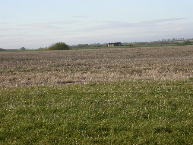
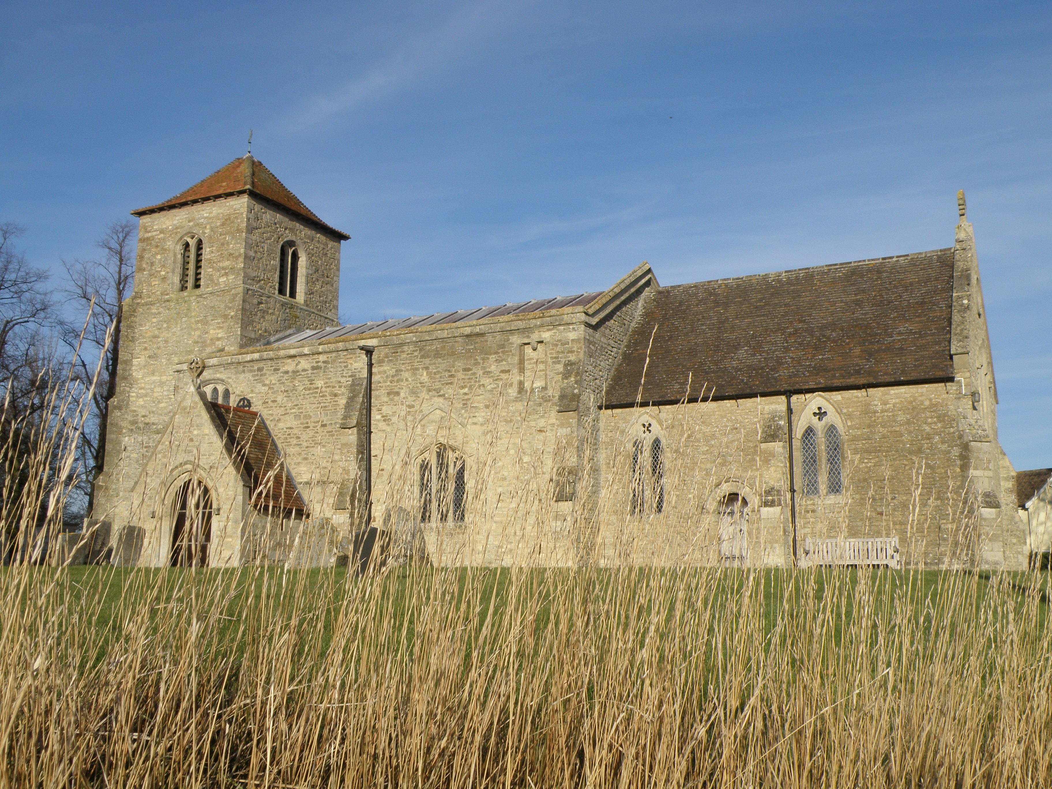
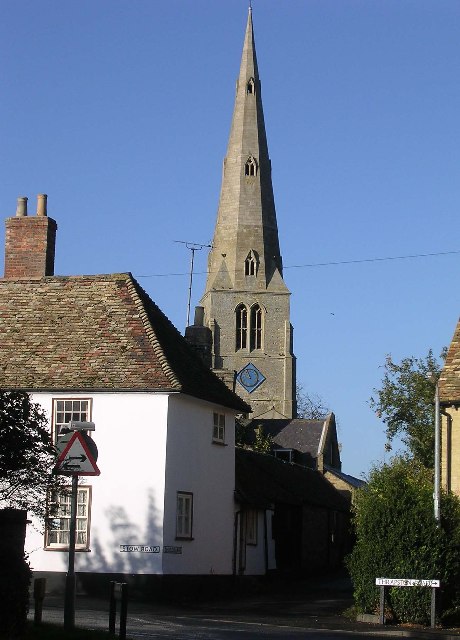
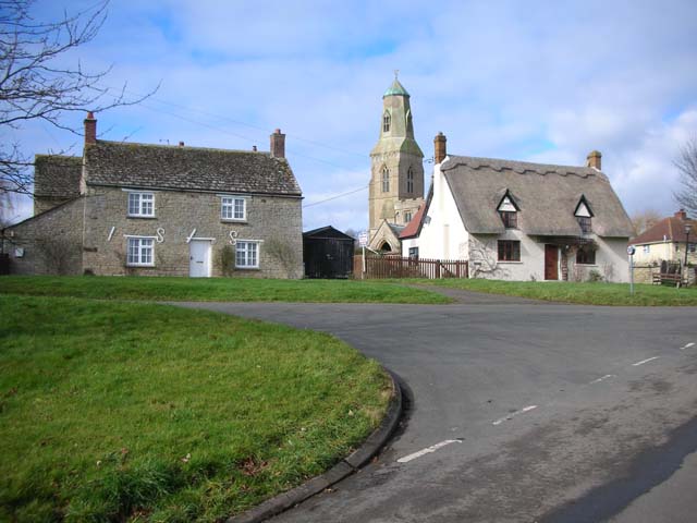
Mickle Hill Images

Images are sourced within 2km of 52.345431/-0.44998832 or Grid Reference TL0573. Thanks to Geograph Open Source API. All images are credited.

Railway infrastructure remains Brick remains of a path access under the former Thrapston Huntingdon railway.
Railway infrastructure remains
Brick remains of a path access under the former Thrapston Huntingdon railway.
Former railway infrastructure Brick remains of a path access under the former Thrapston Huntingdon railway.
Former railway infrastructure
Brick remains of a path access under the former Thrapston Huntingdon railway.
Former railway embankment Embankment of the former Thrapston Huntingdon railway. Closed in 1964.
Former railway embankment
Embankment of the former Thrapston Huntingdon railway. Closed in 1964.
Footbridge for footpath branching off the Three Shires Way Footpath 43/8a to Catworth.
Footbridge for footpath branching off the Three Shires Way
Footpath 43/8a to Catworth.
Track to Clack Barn Bridleway on top of Mickle Hill heading towards Clack Barns. Incidentally if you have lost a pair of spectacles, these were left on the gate post.
Track to Clack Barn
Bridleway on top of Mickle Hill heading towards Clack Barns. Incidentally if you have lost a pair of spectacles, these were left on the gate post.
Leaf information boards Part of a greater environmental understanding to inform and educate, the farm along this track has information boards to explain farming activities and the interaction with the environment.<span class="nowrap"><a title="http://www.leafuk.org/leaf/home.eb" rel="nofollow ugc noopener" href="http://www.leafuk.org/leaf/home.eb">Link</a><img style="margin-left:2px;" alt="External link" title="External link - shift click to open in new window" src="https://s1.geograph.org.uk/img/external.png" width="10" height="10"/></span>
You may have seen and even used a product specific to this farm, Farringtons Mellow Yellow rape seed oil.
Leaf information boards
Part of a greater environmental understanding to inform and educate, the farm along this track has information boards to explain farming activities and the interaction with the environment.LinkExternal link You may have seen and even used a product specific to this farm, Farringtons Mellow Yellow rape seed oil.
Track to Clack Barn The information board near the tree explains the environmental link with arable farming <span class="nowrap"><a title="http://www.leafuk.org/leaf/home.eb" rel="nofollow ugc noopener" href="http://www.leafuk.org/leaf/home.eb">Link</a><img style="margin-left:2px;" alt="External link" title="External link - shift click to open in new window" src="https://s1.geograph.org.uk/img/external.png" width="10" height="10"/></span>
Track to Clack Barn
The information board near the tree explains the environmental link with arable farming LinkExternal link
Clack Barn across the pond A range of traditional farm buildings  along the ridge of Mickle Hill.
Clack Barn across the pond
A range of traditional farm buildings along the ridge of Mickle Hill.
Clack Barn buildings Traditional farm buildings.
Clack Barn buildings
Traditional farm buildings.
Leaf information boards by the bridleway The public are well served with information boards about the approach to environmental farming on this particular farm. <span class="nowrap"><a title="http://www.leafuk.org/leaf/home.eb" rel="nofollow ugc noopener" href="http://www.leafuk.org/leaf/home.eb">Link</a><img style="margin-left:2px;" alt="External link" title="External link - shift click to open in new window" src="https://s1.geograph.org.uk/img/external.png" width="10" height="10"/></span>
Leaf information boards by the bridleway
The public are well served with information boards about the approach to environmental farming on this particular farm. LinkExternal link
Clack Barn Track leading up to Clack Barn on Mickle Hill ridge.
Clack Barn
Track leading up to Clack Barn on Mickle Hill ridge.
A stand of Poplar trees If felled will probably only be useful for composite boards.
A stand of Poplar trees
If felled will probably only be useful for composite boards.
A view from Clack Barns Primarily arable farming country with pockets of sheep and beef farms around the villages using old ridge and furrow pastures.
A view from Clack Barns
Primarily arable farming country with pockets of sheep and beef farms around the villages using old ridge and furrow pastures.
Clack lane Clack Lane towards Bythorn, a bridleway and farm access track.
Clack lane
Clack Lane towards Bythorn, a bridleway and farm access track.
Sheep feeders by Clack Lane A large acreage of Ridge and Furrow land lies by the A14 to the south of Bythorn therefore making good sheep grazing pastures.
Sheep feeders by Clack Lane
A large acreage of Ridge and Furrow land lies by the A14 to the south of Bythorn therefore making good sheep grazing pastures.
Near Crow's Nest Hill and Manchester Lodge Manchester Lodge is presumably named after the Duke of Manchester who was a land owner around here and enclosed large areas of land in the late C18.
Near Crow's Nest Hill and Manchester Lodge
Manchester Lodge is presumably named after the Duke of Manchester who was a land owner around here and enclosed large areas of land in the late C18.
Lost Railway Site of the old Kettering to Huntingdon railway, now rather overgrown as it is not used as a footpath, at least on this stretch.
Lost Railway
Site of the old Kettering to Huntingdon railway, now rather overgrown as it is not used as a footpath, at least on this stretch.
Field of stubble and farm building A view to the west.
Field of stubble and farm building
A view to the west.
Show me another place!

Mickle Hill is located at Grid Ref: TL0573 (Lat: 52.345431, Lng: -0.44998832)

Administrative County: Cambridgeshire

District: Huntingdonshire

Police Authority: Cambridgeshire

What 3 Words

///guilty.digests.fortunes. Near Raunds, Northamptonshire

Nearby Locations

Mickle Hill

Related Wikis

Keyston

Keyston is a village and former civil parish, now in the parish of Bythorn and Keyston, in Cambridgeshire, England. Keyston lies approximately 12 miles...

Covington, Cambridgeshire

Covington is a village and civil parish in Cambridgeshire, England. Covington lies approximately 10 miles (16 km) west of Huntingdon near to Catworth and...

Catworth

Catworth is a village and civil parish in Cambridgeshire, England. Catworth lies approximately 9 miles (14 km) west of Huntingdon. The civil parish covers...

Bythorn

Bythorn is a village and former civil parish, now in the parish of Bythorn and Keyston, in Cambridgeshire, England. Bythorn lies approximately 11 miles...

Nearby Amenities

Located within 500m of 52.345431,-0.44998832
Created By: Merkaartor 0.12
Lat/Long: 52.3427005/-0.4453754
Created By: Merkaartor 0.12
Lat/Long: 52.3456828/-0.4501819
Created By: Merkaartor 0.12
Lat/Long: 52.3477276/-0.4523384
Power: pole
Lat/Long: 52.3412748/-0.4502787
Power: pole
Lat/Long: 52.3420052/-0.4510834
Power: pole
Lat/Long: 52.3426054/-0.4516573
The data included in this document is from www.openstreetmap.org. The data is made available under ODbL.

Have you been to Mickle Hill?

Leave your review of Mickle Hill below (or comments, questions and feedback).