Crows' Nest Hill

Hill, Mountain in Huntingdonshire Huntingdonshire

England

Crows' Nest Hill

Stationary traffic on the A14 westbound at Bythorn Traffic was moving extremely slowly past the junction with the B663 at the top of the hill, where a collision between two lorries had closed one lane.
Stationary traffic on the A14 westbound at Bythorn Credit: Christopher Hilton

Crows' Nest Hill, located in Huntingdonshire, is a prominent hill that stands at an elevation of approximately 100 meters (328 feet). Situated in the eastern part of England, this hill offers picturesque views of the surrounding landscape and is a popular destination for nature enthusiasts and hikers.

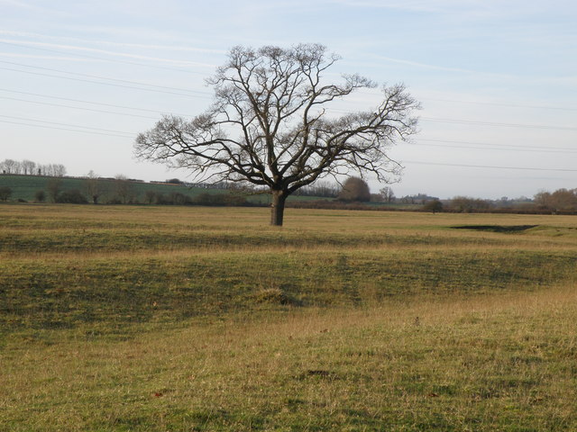
The hill is characterized by its gently rolling slopes and is covered in lush greenery, including grass, shrubs, and scattered trees. Its name, Crows' Nest Hill, is believed to have originated from the presence of crows nesting on its slopes. These black birds can often be spotted flying around the area, adding to the natural ambiance of the hill.

At the top of Crows' Nest Hill, visitors are rewarded with breathtaking panoramic views of the Huntingdonshire countryside. On clear days, one can see for miles, taking in the patchwork of fields, woodlands, and picturesque villages that make up the region. The hilltop also offers a tranquil atmosphere, allowing visitors to relax and soak in the natural beauty.

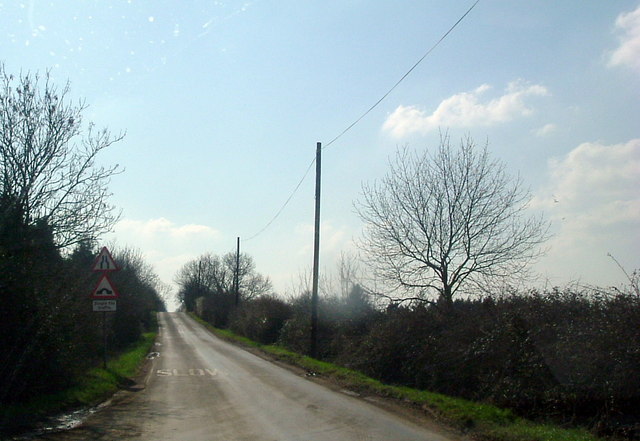
Crows' Nest Hill is easily accessible, with well-maintained footpaths leading to the summit. It is a popular destination for hikers, dog walkers, and families looking to enjoy a peaceful day out in nature. The hill is also home to a variety of wildlife, such as rabbits, foxes, and a diverse range of bird species, making it an ideal spot for birdwatching and wildlife enthusiasts.

Overall, Crows' Nest Hill in Huntingdonshire is a beautiful natural landmark that offers stunning views and a peaceful retreat for anyone seeking to connect with nature.

If you have any feedback on the listing, please let us know in the comments section below.

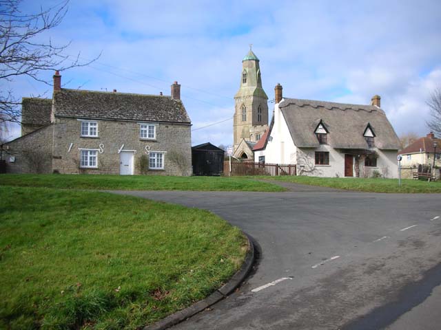
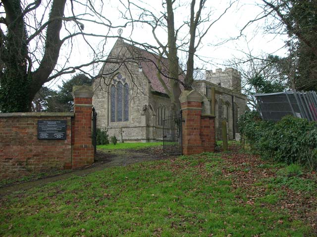
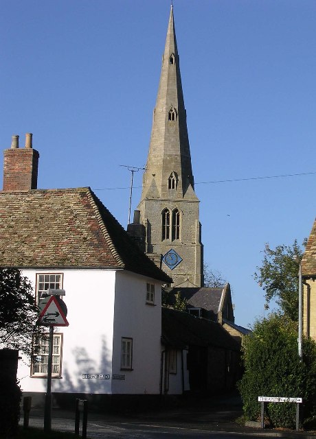
Crows' Nest Hill Images

Images are sourced within 2km of 52.353629/-0.46641125 or Grid Reference TL0473. Thanks to Geograph Open Source API. All images are credited.

Stationary traffic on the A14 westbound at Bythorn Traffic was moving extremely slowly past the junction with the B663 at the top of the hill, where a collision between two lorries had closed one lane.
Stationary traffic on the A14 westbound at Bythorn
Traffic was moving extremely slowly past the junction with the B663 at the top of the hill, where a collision between two lorries had closed one lane.
Track to Clack Barn Bridleway on top of Mickle Hill heading towards Clack Barns. Incidentally if you have lost a pair of spectacles, these were left on the gate post.
Track to Clack Barn
Bridleway on top of Mickle Hill heading towards Clack Barns. Incidentally if you have lost a pair of spectacles, these were left on the gate post.
Leaf information boards Part of a greater environmental understanding to inform and educate, the farm along this track has information boards to explain farming activities and the interaction with the environment.<span class="nowrap"><a title="http://www.leafuk.org/leaf/home.eb" rel="nofollow ugc noopener" href="http://www.leafuk.org/leaf/home.eb">Link</a><img style="margin-left:2px;" alt="External link" title="External link - shift click to open in new window" src="https://s1.geograph.org.uk/img/external.png" width="10" height="10"/></span>
You may have seen and even used a product specific to this farm, Farringtons Mellow Yellow rape seed oil.
Leaf information boards
Part of a greater environmental understanding to inform and educate, the farm along this track has information boards to explain farming activities and the interaction with the environment.LinkExternal link You may have seen and even used a product specific to this farm, Farringtons Mellow Yellow rape seed oil.
Track to Clack Barn The information board near the tree explains the environmental link with arable farming <span class="nowrap"><a title="http://www.leafuk.org/leaf/home.eb" rel="nofollow ugc noopener" href="http://www.leafuk.org/leaf/home.eb">Link</a><img style="margin-left:2px;" alt="External link" title="External link - shift click to open in new window" src="https://s1.geograph.org.uk/img/external.png" width="10" height="10"/></span>
Track to Clack Barn
The information board near the tree explains the environmental link with arable farming LinkExternal link
Clack Barn across the pond A range of traditional farm buildings  along the ridge of Mickle Hill.
Clack Barn across the pond
A range of traditional farm buildings along the ridge of Mickle Hill.
Clack Barn buildings Traditional farm buildings.
Clack Barn buildings
Traditional farm buildings.
Leaf information boards by the bridleway The public are well served with information boards about the approach to environmental farming on this particular farm. <span class="nowrap"><a title="http://www.leafuk.org/leaf/home.eb" rel="nofollow ugc noopener" href="http://www.leafuk.org/leaf/home.eb">Link</a><img style="margin-left:2px;" alt="External link" title="External link - shift click to open in new window" src="https://s1.geograph.org.uk/img/external.png" width="10" height="10"/></span>
Leaf information boards by the bridleway
The public are well served with information boards about the approach to environmental farming on this particular farm. LinkExternal link
Clack Barn Track leading up to Clack Barn on Mickle Hill ridge.
Clack Barn
Track leading up to Clack Barn on Mickle Hill ridge.
A stand of Poplar trees If felled will probably only be useful for composite boards.
A stand of Poplar trees
If felled will probably only be useful for composite boards.
A view from Clack Barns Primarily arable farming country with pockets of sheep and beef farms around the villages using old ridge and furrow pastures.
A view from Clack Barns
Primarily arable farming country with pockets of sheep and beef farms around the villages using old ridge and furrow pastures.
Clack lane Clack Lane towards Bythorn, a bridleway and farm access track.
Clack lane
Clack Lane towards Bythorn, a bridleway and farm access track.
Sheep feeders by Clack Lane A large acreage of Ridge and Furrow land lies by the A14 to the south of Bythorn therefore making good sheep grazing pastures.
Sheep feeders by Clack Lane
A large acreage of Ridge and Furrow land lies by the A14 to the south of Bythorn therefore making good sheep grazing pastures.
A solitary Oak tree in the ridge and furrow Farm land to the south of Bythorn has a good show of the historical ridge and furrow farming system. Next time your passing Bythorn west bound on the A14 look to your left and you'll see it, passengers only please.
A solitary Oak tree in the ridge and furrow
Farm land to the south of Bythorn has a good show of the historical ridge and furrow farming system. Next time your passing Bythorn west bound on the A14 look to your left and you'll see it, passengers only please.
Old cultivator beside Clack Lane To the left are a set of Petitt disc harrows that used to be manufactured at Spalding. Excellent tool to create a seed bed for cereal crops but a pig to deal with if they blocked up with wet sticky soil. No hydraulic lifting wheels to drop down. The cultivator on the right looks to be a Ransome's of Ipswich ripper cultivator and may well be from the traction engine era or more likely used with early crawler tractors. Both implements appear to have been "rested" for a few years.
Old cultivator beside Clack Lane
To the left are a set of Petitt disc harrows that used to be manufactured at Spalding. Excellent tool to create a seed bed for cereal crops but a pig to deal with if they blocked up with wet sticky soil. No hydraulic lifting wheels to drop down. The cultivator on the right looks to be a Ransome's of Ipswich ripper cultivator and may well be from the traction engine era or more likely used with early crawler tractors. Both implements appear to have been "rested" for a few years.
Clack Lane towards Bythorn Before the A14 sliced through the countryside, Clack Lane ran right up to Bythorn  when the old A604 trundled through the village. Now access is by a pedestrian, horse and farm machinery bridge slightly to the west. The farm implement is a wide set of harrows in transport mode probably manufactured by Parmiter.
Clack Lane towards Bythorn
Before the A14 sliced through the countryside, Clack Lane ran right up to Bythorn when the old A604 trundled through the village. Now access is by a pedestrian, horse and farm machinery bridge slightly to the west. The farm implement is a wide set of harrows in transport mode probably manufactured by Parmiter.
Recently constructed farm store
To Raunds 4 Old milestone at Keyston, Cambridgeshire. For overall view see <a title="https://www.geograph.org.uk/photo/2956469" href="https://www.geograph.org.uk/photo/2956469">Link</a>
To Raunds 4
Old milestone at Keyston, Cambridgeshire. For overall view see Link
Show me another place!

Crows' Nest Hill is located at Grid Ref: TL0473 (Lat: 52.353629, Lng: -0.46641125)

Administrative County: Cambridgeshire

District: Huntingdonshire

Police Authority: Cambridgeshire

What 3 Words

///guessing.splints.jogged. Near Raunds, Northamptonshire

Nearby Locations

Crows' Nest Hill

Related Wikis

Keyston

Keyston is a village and former civil parish, now in the parish of Bythorn and Keyston, in Cambridgeshire, England. Keyston lies approximately 12 miles...

Raunds railway station

Raunds railway station is a railway station that once served the town of Raunds in Northamptonshire, England. The railway station was an intermediate stop...

Covington, Cambridgeshire

Covington is a village and civil parish in Cambridgeshire, England. Covington lies approximately 10 miles (16 km) west of Huntingdon near to Catworth and...

Bythorn and Keyston

Bythorn and Keyston is a civil parish in the Huntingdonshire district of Cambridgeshire, England. According to the 2001 census the parish had a population...

Bythorn

Bythorn is a village and former civil parish, now in the parish of Bythorn and Keyston, in Cambridgeshire, England. Bythorn lies approximately 11 miles...

Molesworth, Cambridgeshire

Molesworth is a village and former civil parish, now in the parish of Brington and Molesworth in Cambridgeshire, England. Molesworth is 10 miles (16 km...

Hargrave, Northamptonshire

Hargrave is a small village and civil parish situated in rural Northamptonshire, England, approximately 21 miles east of Northampton and adjacent to the...

Catworth

Catworth is a village and civil parish in Cambridgeshire, England. Catworth lies approximately 9 miles (14 km) west of Huntingdon. The civil parish covers...

Nearby Amenities

Located within 500m of 52.353629,-0.46641125
Created By: Merkaartor 0.12
Lat/Long: 52.3531408/-0.4600953
Created By: Merkaartor 0.12
Lat/Long: 52.3554802/-0.4630779
Created By: Merkaartor 0.12
Lat/Long: 52.3560634/-0.4638933
Building: yes
Lat/Long: 52.3507588/-0.465387
The data included in this document is from www.openstreetmap.org. The data is made available under ODbL.

Have you been to Crows' Nest Hill?

Leave your review of Crows' Nest Hill below (or comments, questions and feedback).