Camp Hill
Hill, Mountain in Sussex Horsham
England
Camp Hill
Camp Hill is a picturesque and idyllic village located in the county of Sussex, England. Situated on a gently sloping hill, it offers breathtaking panoramic views of the surrounding countryside and is often referred to as Camp Hill, Sussex Mountain due to its slightly elevated position.
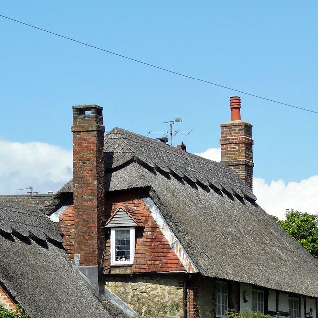
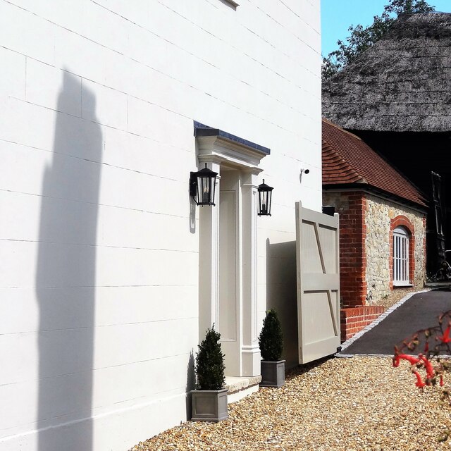
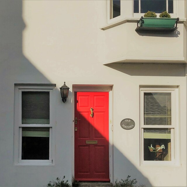
The village is characterized by its charming and quaint atmosphere, with traditional English cottages and leafy lanes adding to its appeal. Camp Hill is home to a close-knit community, with residents known for their warm and friendly nature.
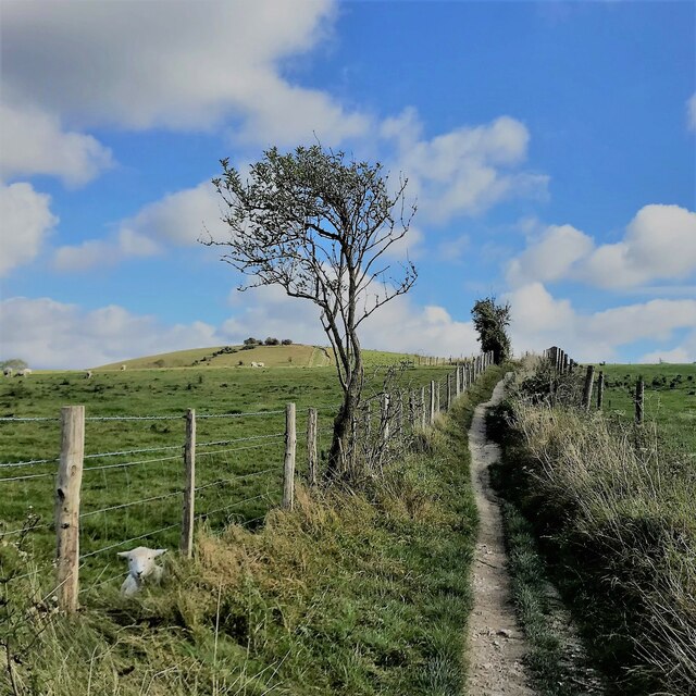
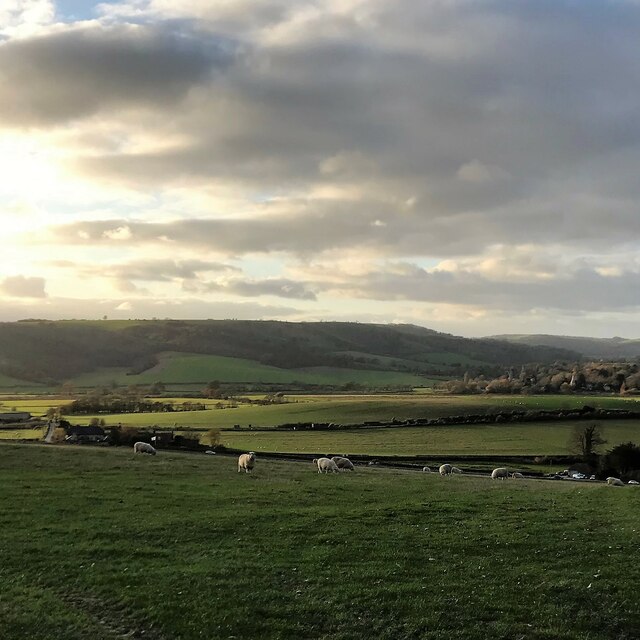
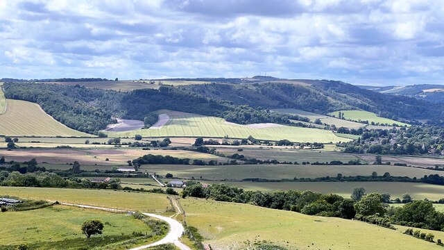
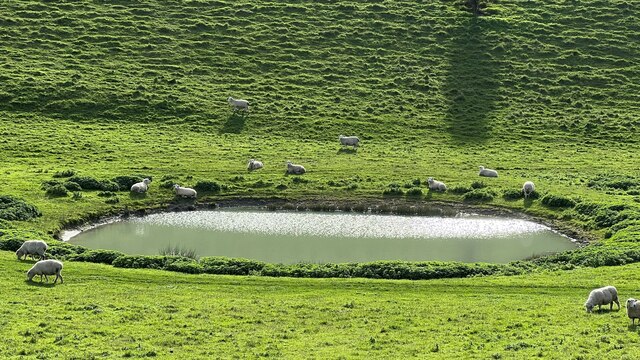
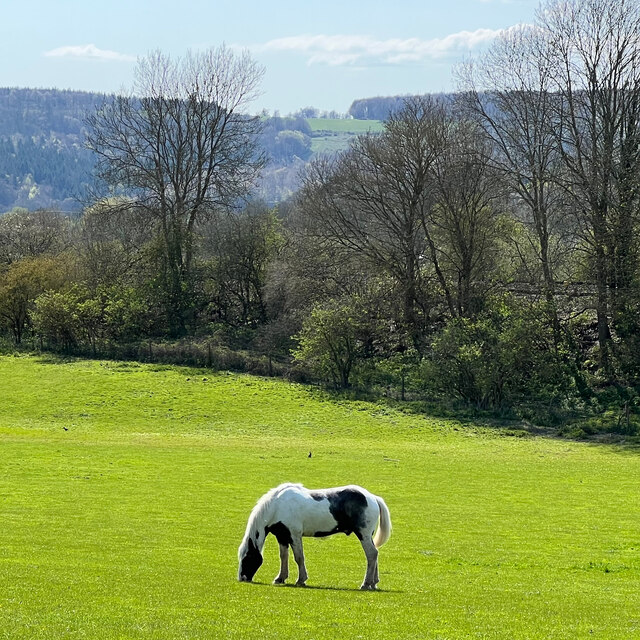
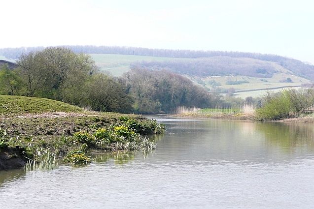
The natural beauty of Camp Hill is one of its main attractions. The area is dotted with lush green fields, rolling hills, and dense woodlands, making it a haven for nature lovers and outdoor enthusiasts. It offers countless opportunities for walking, hiking, and exploring the great outdoors.
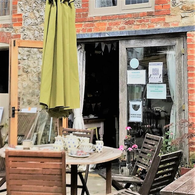
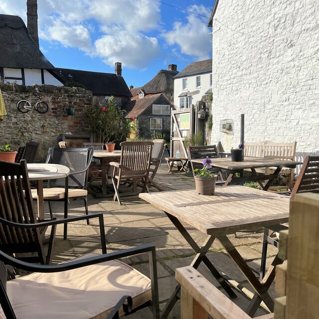
Despite its rural setting, Camp Hill is conveniently located near several amenities. The village has a small but well-equipped community center, which serves as a hub for various activities and events. Additionally, nearby towns and cities provide access to essential services such as schools, medical facilities, and shopping centers.
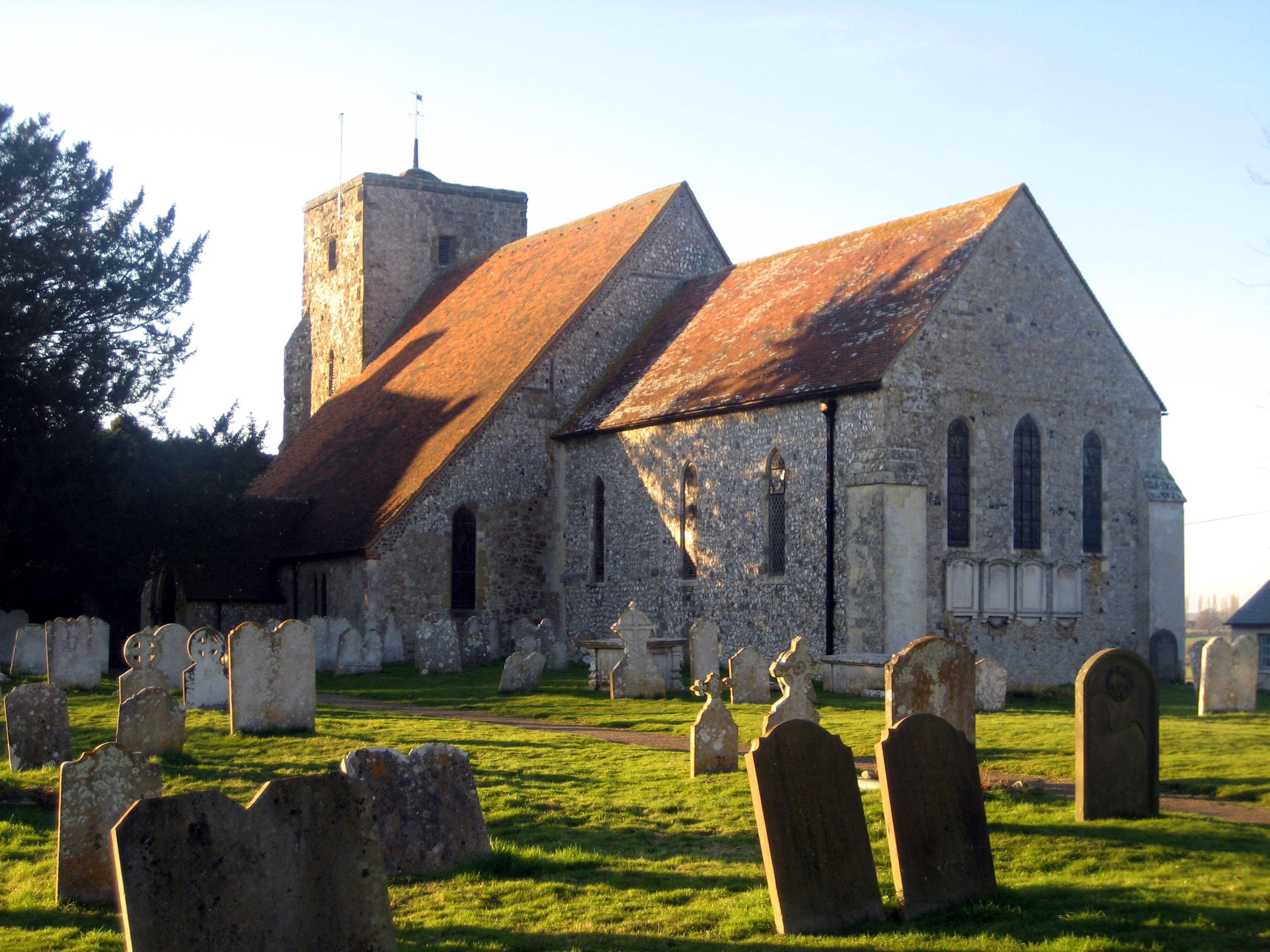
Camp Hill is also rich in history, with several notable landmarks and historical sites. The village's church, dating back to the 12th century, stands as a testament to its long-standing heritage. Visitors can explore the church and its beautiful grounds, gaining insight into the area's past.
In conclusion, Camp Hill, Sussex is a charming village nestled amidst stunning natural surroundings. With its welcoming community, breathtaking landscapes, and rich history, it offers a tranquil retreat for those seeking a peaceful and picturesque getaway.
If you have any feedback on the listing, please let us know in the comments section below.
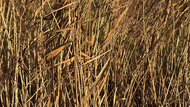
Camp Hill Images
Images are sourced within 2km of 50.89236/-0.52394132 or Grid Reference TQ0311. Thanks to Geograph Open Source API. All images are credited.


Camp Hill is located at Grid Ref: TQ0311 (Lat: 50.89236, Lng: -0.52394132)
Administrative County: West Sussex
District: Horsham
Police Authority: Sussex
What 3 Words
///crunches.bottom.decompose. Near Arundel, West Sussex
Nearby Locations
Related Wikis

Amberley Museum Railway
The Amberley Museum Railway is a 2 ft (610 mm) narrow gauge railway based at Amberley Museum, Amberley, West Sussex. It has a varied collection of engines...

Amberley Museum & Heritage Centre
Amberley Museum is an open-air industrial heritage museum at Amberley, near Arundel in West Sussex, England. The museum is owned and operated by Amberley...
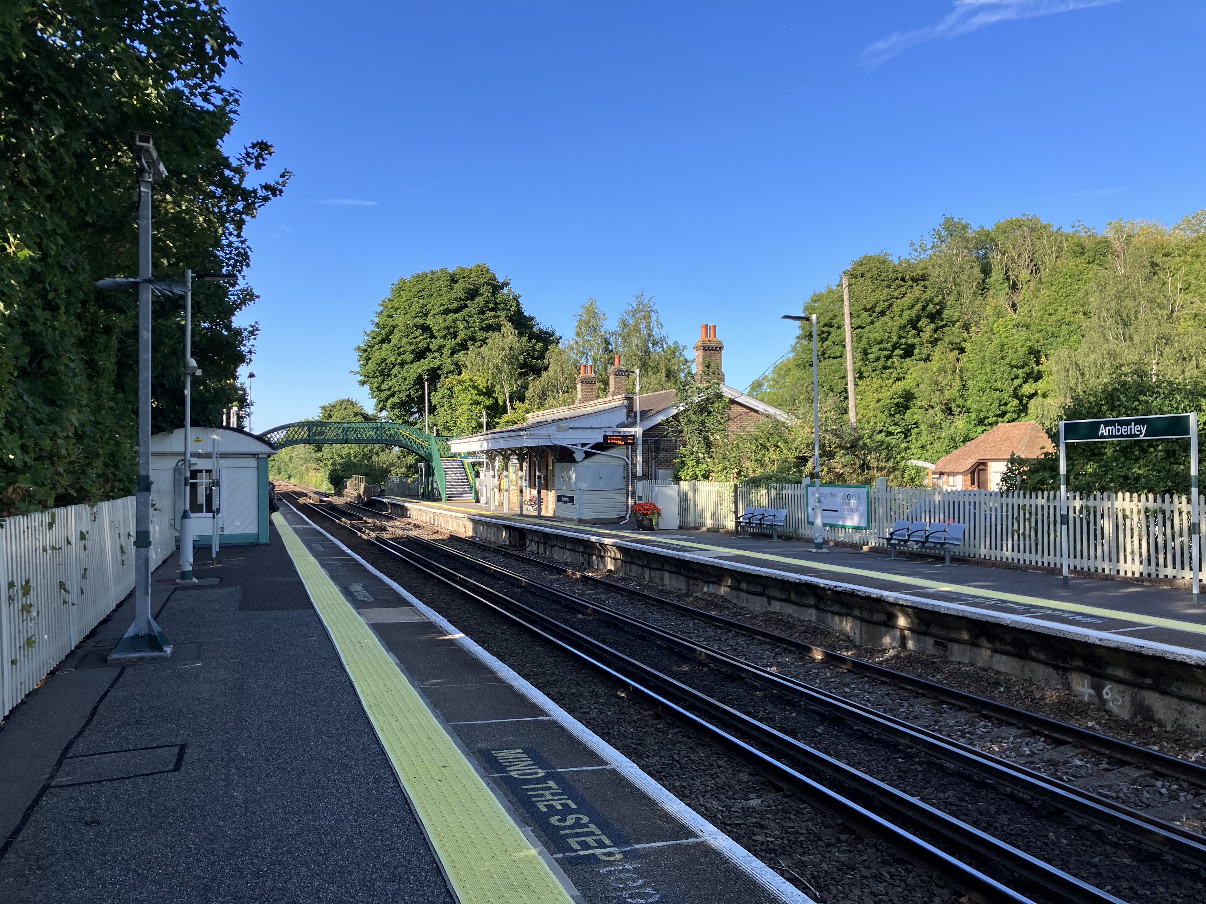
Amberley railway station
Amberley railway station is a railway station in West Sussex, England. It serves the village of Amberley, about half a mile away, and was opened by the...
Arun Banks
Arun Banks is a 25.8-hectare (64-acre) biological Site of Special Scientific Interest north of Arundel in West Sussex.This site consists of a tidal stretch...

South Downs
The South Downs are a range of chalk hills in the south-eastern coastal counties of England that extends for about 260 sq mi (670 km2) across the south...

South Stoke, West Sussex
South Stoke is a rural village and civil parish in the Arun District of West Sussex, England. It is centred two miles (3 km) north of Arundel also on...
Amberley, West Sussex
Amberley is a village and civil parish in the Horsham District of West Sussex, England. It is situated at the foot of the South Downs, 4 miles (6 km) north...

North Stoke, West Sussex
North Stoke is a village and former civil parish, now in the parish of Amberley, in the Horsham district of West Sussex, England. It is just over 2 miles...
Nearby Amenities
Located within 500m of 50.89236,-0.52394132Have you been to Camp Hill?
Leave your review of Camp Hill below (or comments, questions and feedback).