Fox Hill
Hill, Mountain in Surrey Woking
England
Fox Hill
Fox Hill is a prominent geographical feature located in the county of Surrey, England. Situated within the North Downs, it is classified as a hill rather than a mountain due to its elevation of approximately 206 meters (676 feet) above sea level. The hill is positioned near the village of Lower Kingswood, which lies within the Reigate and Banstead district.
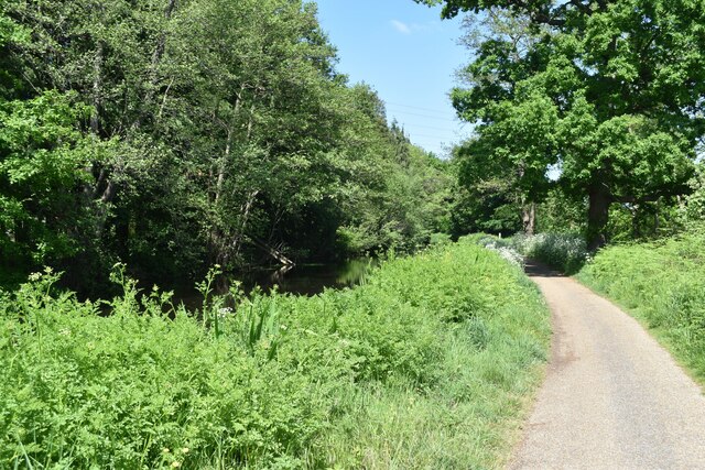
Covering an area of approximately 1.5 square kilometers, Fox Hill offers picturesque views of the surrounding countryside. The site is known for its lush greenery, including dense woodland and open fields, providing ample opportunities for outdoor activities such as walking, hiking, and picnicking.
Fox Hill is a popular destination for nature enthusiasts and wildlife observers, thanks to its diverse fauna and flora. The hill is home to various species of birds, including buzzards and kestrels, as well as mammals like foxes, rabbits, and deer. Additionally, the area boasts an array of wildflowers and plant life, contributing to its scenic beauty.
Historically, Fox Hill has been utilized for recreational purposes, with its open spaces often used for local events and gatherings. In recent years, efforts have been made to preserve and enhance the natural habitat of the hill, promoting conservation and sustainability.
Overall, Fox Hill in Surrey offers a tranquil escape from urban life, providing visitors with the chance to immerse themselves in the beauty of nature while enjoying the panoramic views and engaging in outdoor pursuits.
If you have any feedback on the listing, please let us know in the comments section below.
Fox Hill Images
Images are sourced within 2km of 51.315467/-0.52254376 or Grid Reference TQ0358. Thanks to Geograph Open Source API. All images are credited.


Fox Hill is located at Grid Ref: TQ0358 (Lat: 51.315467, Lng: -0.52254376)
Administrative County: Surrey
District: Woking
Police Authority: Surrey
What 3 Words
///take.lazy.nuns. Near Woking, Surrey
Nearby Locations
Related Wikis
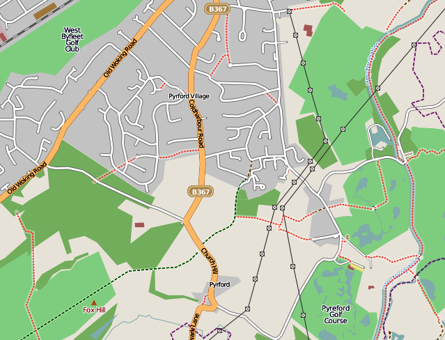
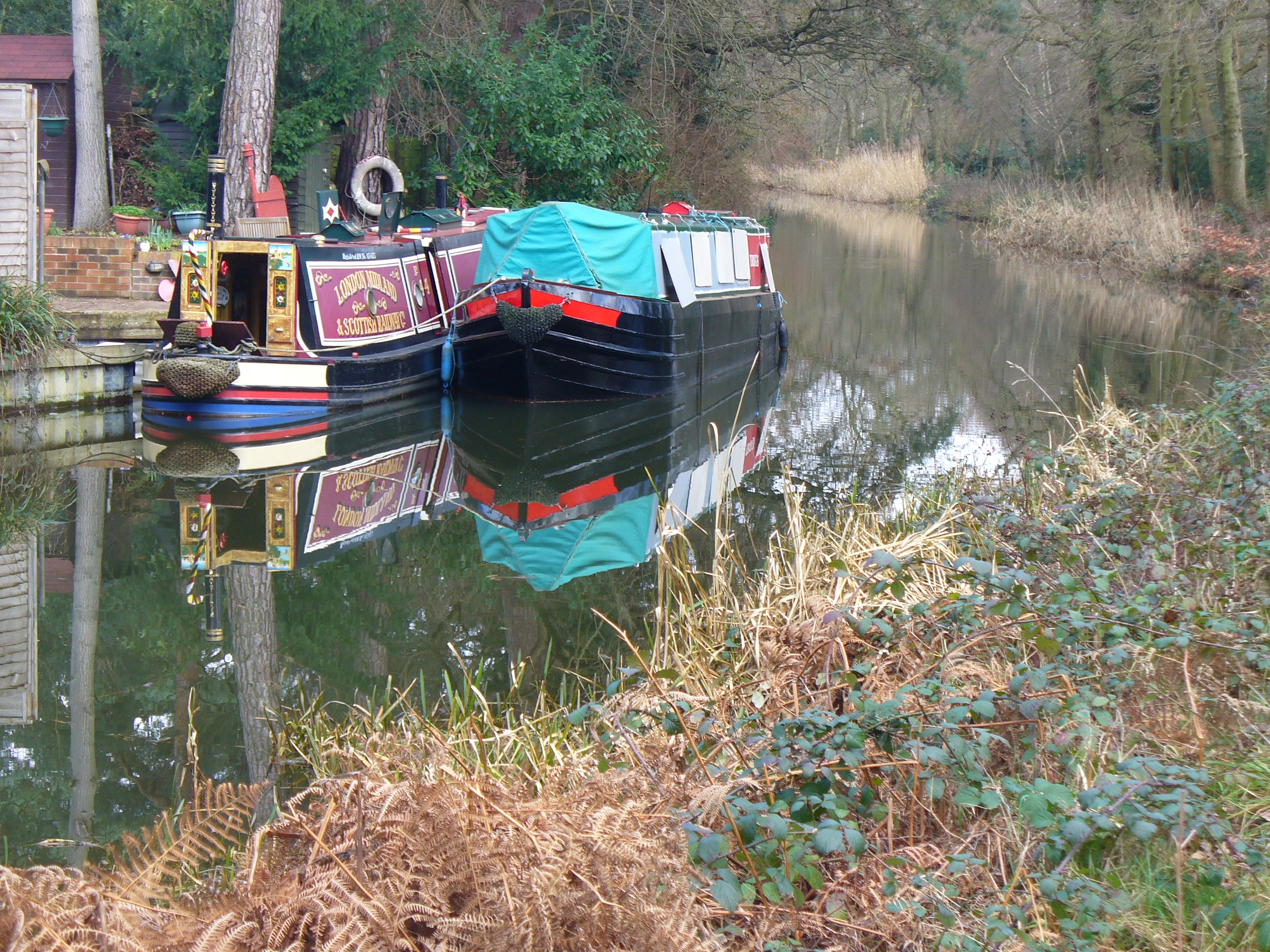
Pyrford
Pyrford is a village in the borough of Woking in Surrey, England. It is on the left bank of the River Wey, around two miles (three kilometres) east of...

Hoe Bridge School
Hoe Bridge School is an independent co-educational, pre-prep and prep school in Woking, England. At its last full inspection in 2023 it was rated excellent...
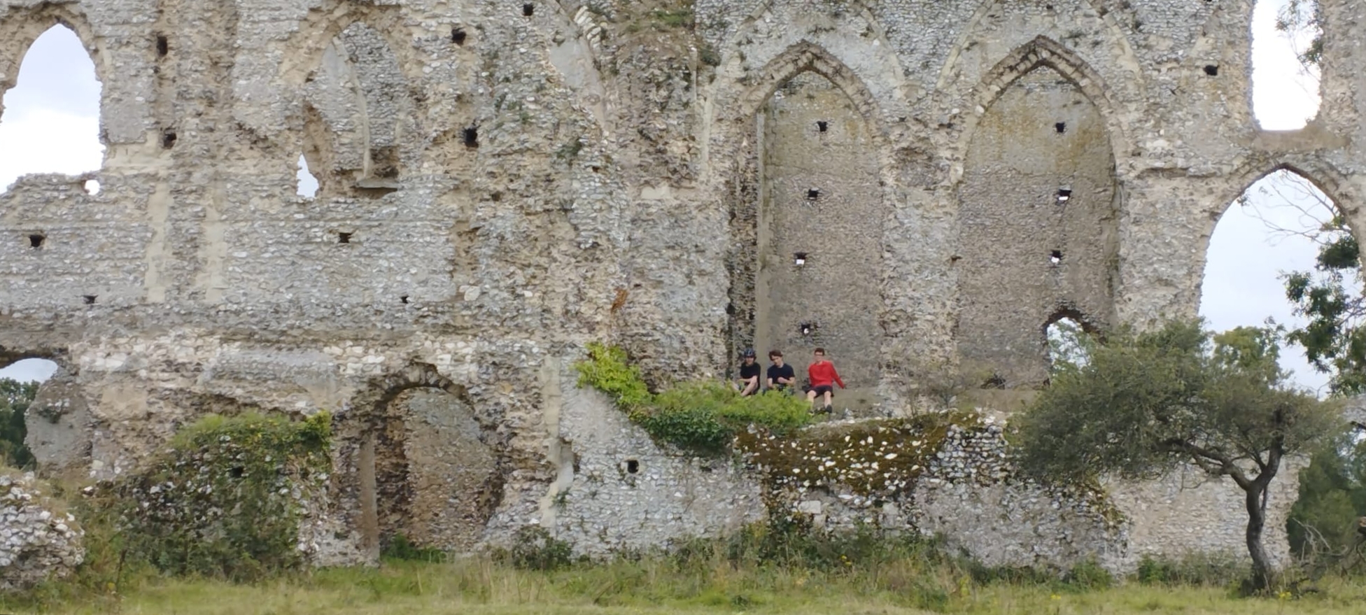
Newark Priory
Newark Priory is a ruined priory on an island surrounded by the River Wey and its former leat (the Abbey Stream) near the boundary of the village (parish...
Woking Palace
Woking Palace is a former manor house of the Royal Manor of Woking on the outskirts of Woking, near the village of Old Woking, Surrey. The manor was in...

Old Woking
Old Woking is a ward and the original settlement of the town and borough of Woking, Surrey, about 1.3 miles (2.1 km) southeast of the modern town centre...

St Dunstan's Church, Woking
St Dunstan's Church is a Roman Catholic Parish church in Woking, Surrey. At first it was built in 1899, replaced by a larger church in 1923 and its final...

White Rose Lane
White Rose Lane is a 3.4-hectare (8.4-acre) Local Nature Reserve in Woking in Surrey. It is owned and managed by Woking Borough Council.This site is damp...
Sheerwater
Sheerwater is a residential neighbourhood or small suburb of Woking, in the Woking district in Surrey, England, occasionally described as a village, between...
Nearby Amenities
Located within 500m of 51.315467,-0.52254376Have you been to Fox Hill?
Leave your review of Fox Hill below (or comments, questions and feedback).