Ether Hill
Hill, Mountain in Surrey Runnymede
England
Ether Hill

Ether Hill is a picturesque hill located in the county of Surrey, England. It is situated in the southern part of the county, near the town of Haslemere. With an elevation of approximately 300 meters, Ether Hill is considered a prominent landmark in the area, offering breathtaking panoramic views of the surrounding countryside.
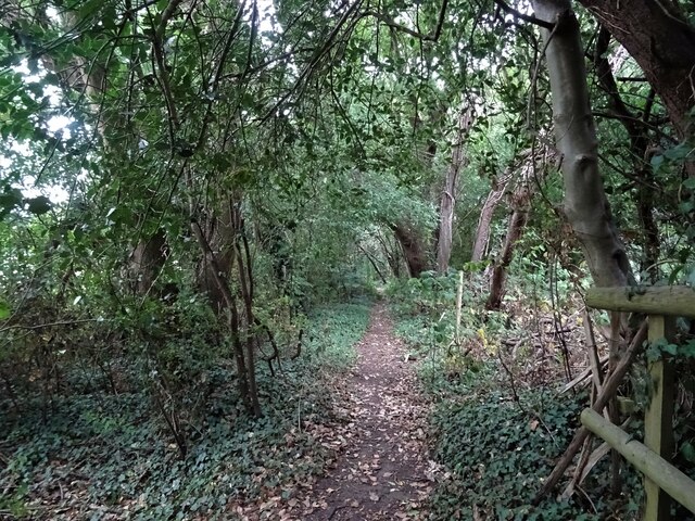
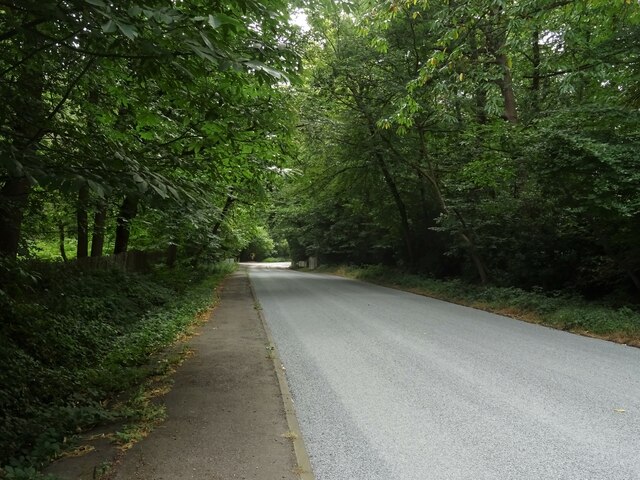
Covered in lush greenery, the hill is a haven for nature enthusiasts and hikers alike. It boasts a diverse range of flora and fauna, including ancient woodlands, wildflowers, and various species of birds and butterflies. The serene atmosphere and tranquil surroundings make Ether Hill a popular destination for those seeking solitude and relaxation.
The hill's unique geological composition adds to its charm. Made primarily of sandstone and clay, Ether Hill features distinctive rock formations and natural outcrops that have been shaped by millions of years of erosion. These formations provide a glimpse into the region's geological history and offer an opportunity for geological enthusiasts to study the area's past.
Ether Hill is also home to several footpaths and trails that provide access to its summit, allowing visitors to explore its natural beauty up close. The most popular route is the Ether Hill Circular Walk, which takes walkers on a scenic journey through woodlands and open fields, eventually reaching the top of the hill. At the summit, visitors are rewarded with sweeping views of the Surrey Hills Area of Outstanding Natural Beauty, as well as distant landmarks such as the South Downs and the English Channel.
Overall, Ether Hill is a captivating destination that seamlessly combines natural beauty, geological significance, and recreational opportunities, making it a must-visit location for nature lovers and outdoor enthusiasts in Surrey.
If you have any feedback on the listing, please let us know in the comments section below.
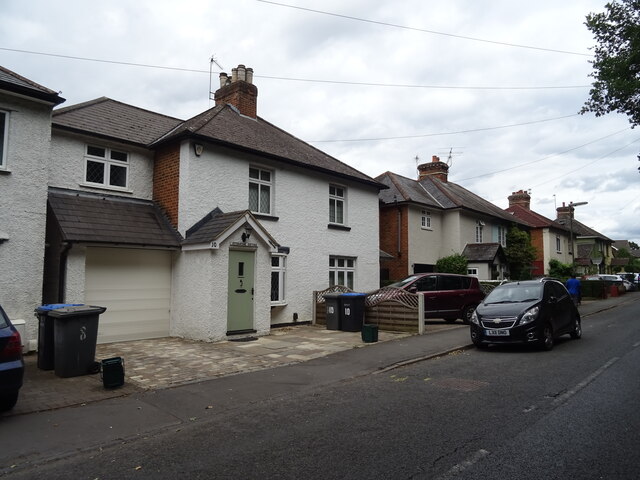
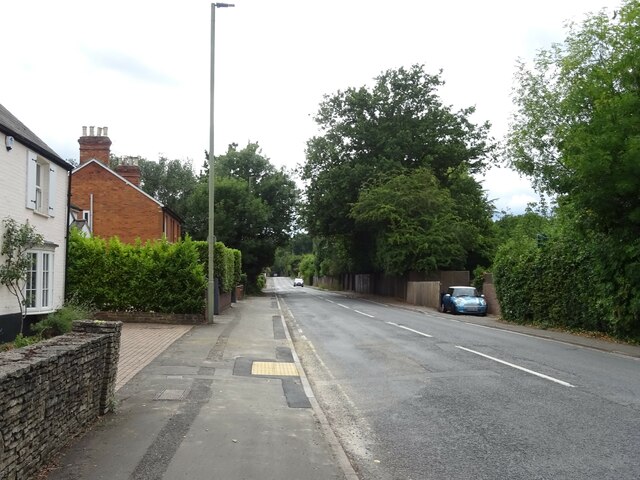
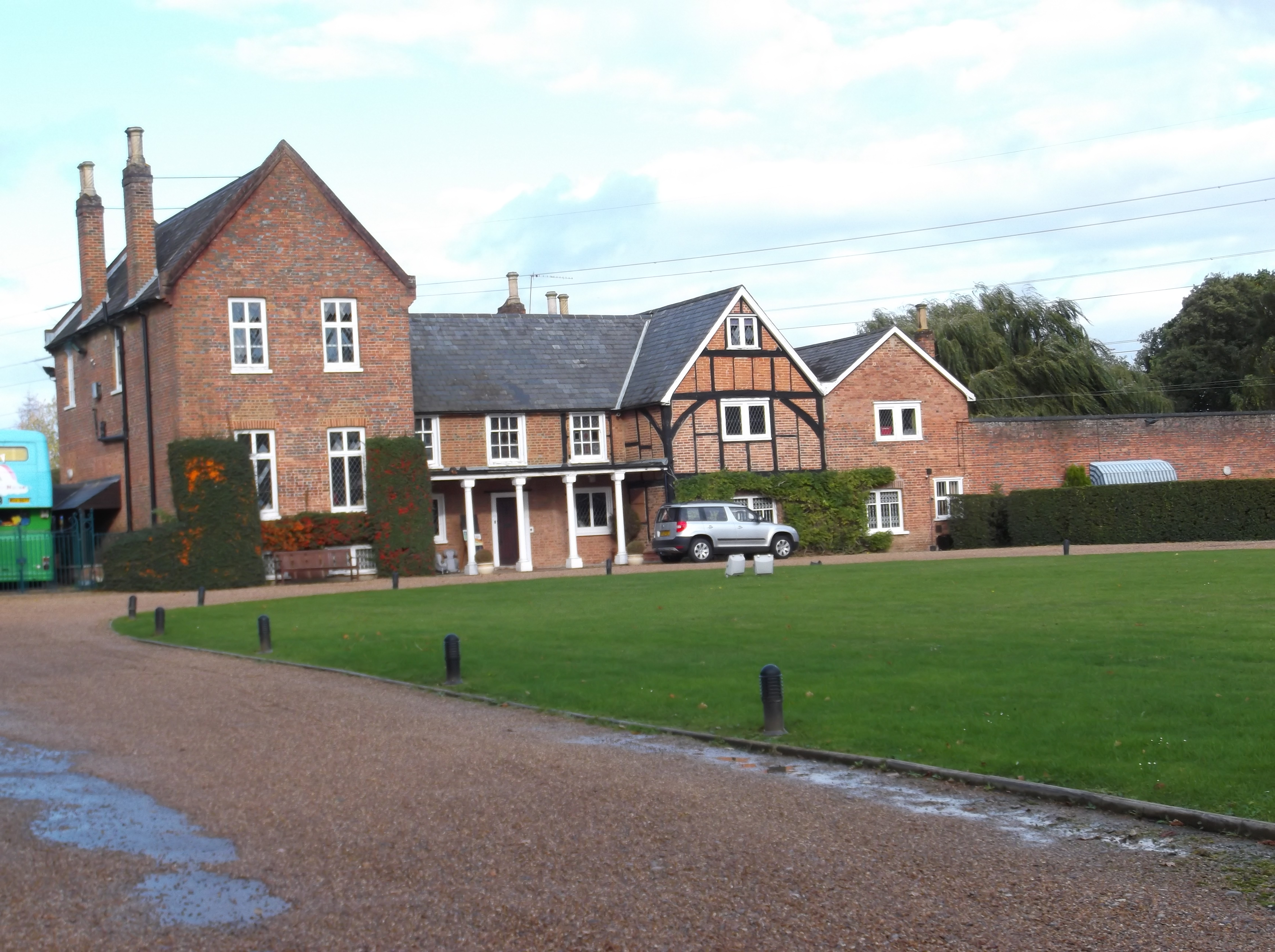
Ether Hill Images
Images are sourced within 2km of 51.365776/-0.54310505 or Grid Reference TQ0163. Thanks to Geograph Open Source API. All images are credited.


Ether Hill is located at Grid Ref: TQ0163 (Lat: 51.365776, Lng: -0.54310505)
Administrative County: Surrey
District: Runnymede
Police Authority: Surrey
What 3 Words
///duke.lonely.above. Near Ottershaw, Surrey
Nearby Locations
Related Wikis

Queenwood Golf Club
Queenwood Golf Club is a golf club near Ottershaw in Surrey, England. The club is only open to members and their guests.The club was developed by the American...
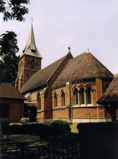
Christ Church, Ottershaw
Christ Church, Ottershaw is a Church of England church on Guildford Road in the village of Ottershaw in the Runnymede district of Surrey, England, about...
Ottershaw
Ottershaw is a village in the Borough of Runnymede in Surrey, England, approximately 32 km (20 mi) southwest of central London. The village developed in...

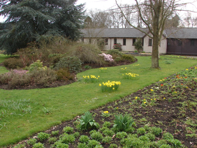
Ottershaw School
Ottershaw School was founded in 1948 as an English school for boys in Ottershaw Park, Ottershaw, approximately 30 miles (48 km) southwest of London between...
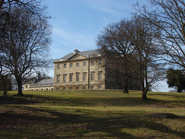
Botleys Mansion
Botleys Mansion is a Palladian mansion house in the south of Chertsey, Surrey, England, just south of St Peter's Hospital. The house was built in the...
Foxhills Golf Club
Foxhills is a golf club and resort located in Ottershaw, Surrey, United Kingdom. It was established in 1975 and named for Charles James Fox on whose former...
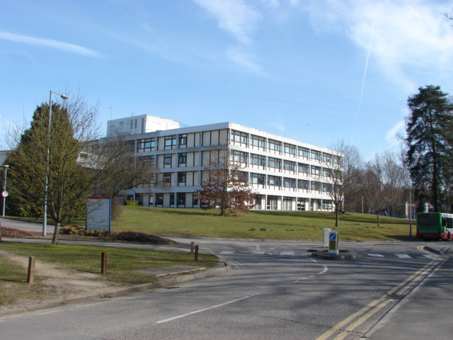
St Peter's Hospital, Chertsey
St Peter's Hospital is an NHS district general hospital in Chertsey, Surrey, England. It has 400 beds and a wide range of acute care services, including...
Lyne, Surrey
Lyne is a village in the Borough of Runnymede in Surrey, England, approximately 32 km (20 mi) southwest of central London. In the early 13th century, the...
Nearby Amenities
Located within 500m of 51.365776,-0.54310505Have you been to Ether Hill?
Leave your review of Ether Hill below (or comments, questions and feedback).