Berkhamsted Hill

Hill, Mountain in Hertfordshire Dacorum

England

Berkhamsted Hill

Hillingdon Road, Frithsden
Hillingdon Road, Frithsden Credit: David Howard

Berkhamsted Hill is a prominent geographical feature located in Hertfordshire, England. It is situated near the town of Berkhamsted, approximately 40 miles northwest of central London. While not classified as a mountain, it is often referred to as a hill due to its distinctive elevation and commanding presence in the surrounding landscape.

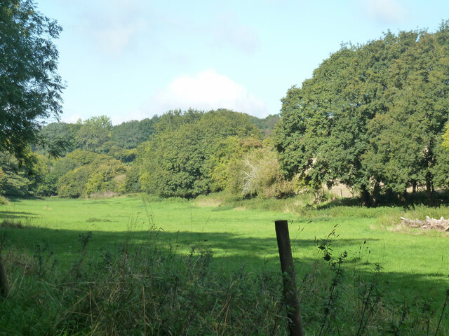
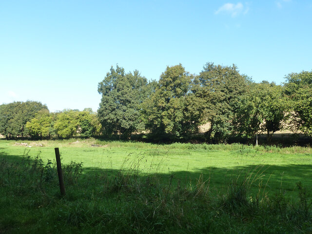
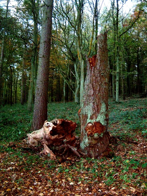
Rising to a height of around 137 meters (449 feet), Berkhamsted Hill offers breathtaking panoramic views of the surrounding countryside. Its location within the Chiltern Hills, a designated Area of Outstanding Natural Beauty, further enhances its scenic appeal. The hill is covered in lush greenery, consisting primarily of grass and scattered patches of woodland.

The hill's summit is crowned by the remains of Berkhamsted Castle, a historic fortification dating back to the Norman era. The castle played a significant role in the country's history, with notable figures such as William the Conqueror and King Henry II having connections to it. Today, the castle ruins serve as a popular tourist attraction, drawing visitors from far and wide.

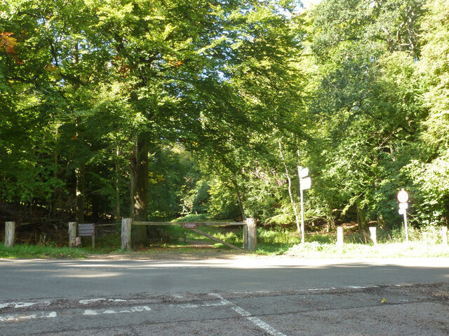
Berkhamsted Hill is also renowned for its recreational opportunities. Numerous walking trails crisscross the hill, offering visitors the chance to explore its natural beauty on foot. The hill is a favorite spot among hikers and nature enthusiasts, who appreciate the tranquility and stunning vistas it offers.

Overall, Berkhamsted Hill is a captivating natural landmark, both historically and aesthetically. Its commanding presence, coupled with its rich heritage and stunning views, make it a must-visit destination for locals and tourists alike.

If you have any feedback on the listing, please let us know in the comments section below.

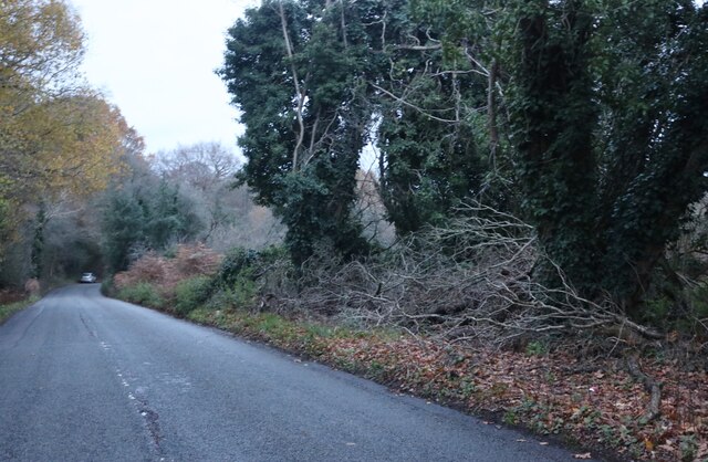
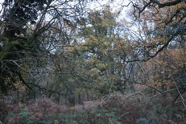
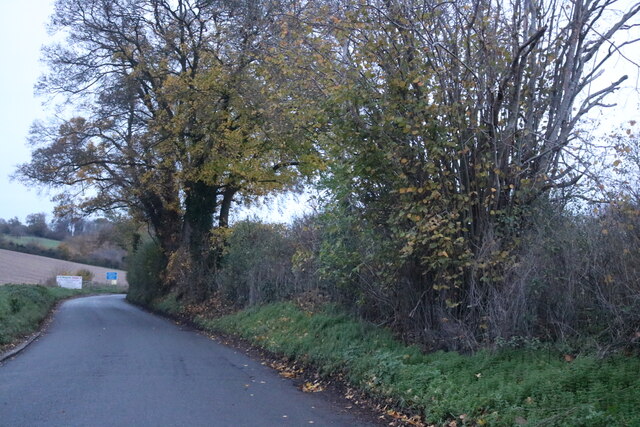
Berkhamsted Hill Images

Images are sourced within 2km of 51.770916/-0.5435475 or Grid Reference TL0009. Thanks to Geograph Open Source API. All images are credited.

Hillingdon Road, Frithsden
Frithsden Beeches
Frithsden Beeches
Field in Nettleden Those are not sheep, they are llamas.
Field in Nettleden
Those are not sheep, they are llamas.
Nettleden Road
Nettleden Road
Narrow field along bottom west of Frithsden
Frithsden Beeches A bridleway passes through. The wood has public access, but the board on the left advises people to keep to the paths as there is a danger of falling branches.
Frithsden Beeches
A bridleway passes through. The wood has public access, but the board on the left advises people to keep to the paths as there is a danger of falling branches.
Nettleden Road From Nettleden towards Little Gaddesden.
Nettleden Road
From Nettleden towards Little Gaddesden.
Sheep between Nettleden & Little Gaddesden Sheep in a field next to the road between Nettleden & Little Gaddesden. Thanks to the farmer who invited me into the field to get a better shot of his sheep.
Sheep between Nettleden & Little Gaddesden
Sheep in a field next to the road between Nettleden & Little Gaddesden. Thanks to the farmer who invited me into the field to get a better shot of his sheep.
Nettleden Church The church in the village of Nettleden. Note the "missing roof" on the near end.
More information about Nettleden and its church here <span class="nowrap"><a title="http://www.british-history.ac.uk/report.asp?compid=43285#s1" rel="nofollow ugc noopener" href="http://www.british-history.ac.uk/report.asp?compid=43285#s1">Link</a><img style="margin-left:2px;" alt="External link" title="External link - shift click to open in new window" src="https://s1.geograph.org.uk/img/external.png" width="10" height="10"/></span>
Nettleden Church
The church in the village of Nettleden. Note the "missing roof" on the near end. More information about Nettleden and its church here LinkExternal link
Old Tree, Frithsden Woods This old decaying tree stump is in the woods (Great Frithsden Copse) opposite Frithsden Gardens, a disparate row cottages and houses on the lane from Ashridge to Frithsden.
Old Tree, Frithsden Woods
This old decaying tree stump is in the woods (Great Frithsden Copse) opposite Frithsden Gardens, a disparate row cottages and houses on the lane from Ashridge to Frithsden.
Footbridge over Roman road A footbridge over a brick-walled Roman road, leading down into Nettleden.
Footbridge over Roman road
A footbridge over a brick-walled Roman road, leading down into Nettleden.
Frithsden Vineyard View down row of vines.  Vineyard now produces 5,000 bottles per year on the chalky clay-with-flints soil of this south-facing slope.
Frithsden Vineyard
View down row of vines. Vineyard now produces 5,000 bottles per year on the chalky clay-with-flints soil of this south-facing slope.
Farm Buildings The farm straddles the road shown on the OS map, but there is no right of way through it.
Farm Buildings
The farm straddles the road shown on the OS map, but there is no right of way through it.
Nettleden Lodge A large private House
Nettleden Lodge
A large private House
Farm yard Collection A varied collection of metal objects next to the main Farm yard. Including an old Scammell truck.
Farm yard Collection
A varied collection of metal objects next to the main Farm yard. Including an old Scammell truck.
Hillingdon Road in Frithsden Beeches
Show me another place!

Berkhamsted Hill is located at Grid Ref: TL0009 (Lat: 51.770916, Lng: -0.5435475)

Administrative County: Hertfordshire

District: Dacorum

Police Authority: Hertfordshire

What 3 Words

///increases.causes.pianists. Near Berkhamsted, Hertfordshire

Related Wikis

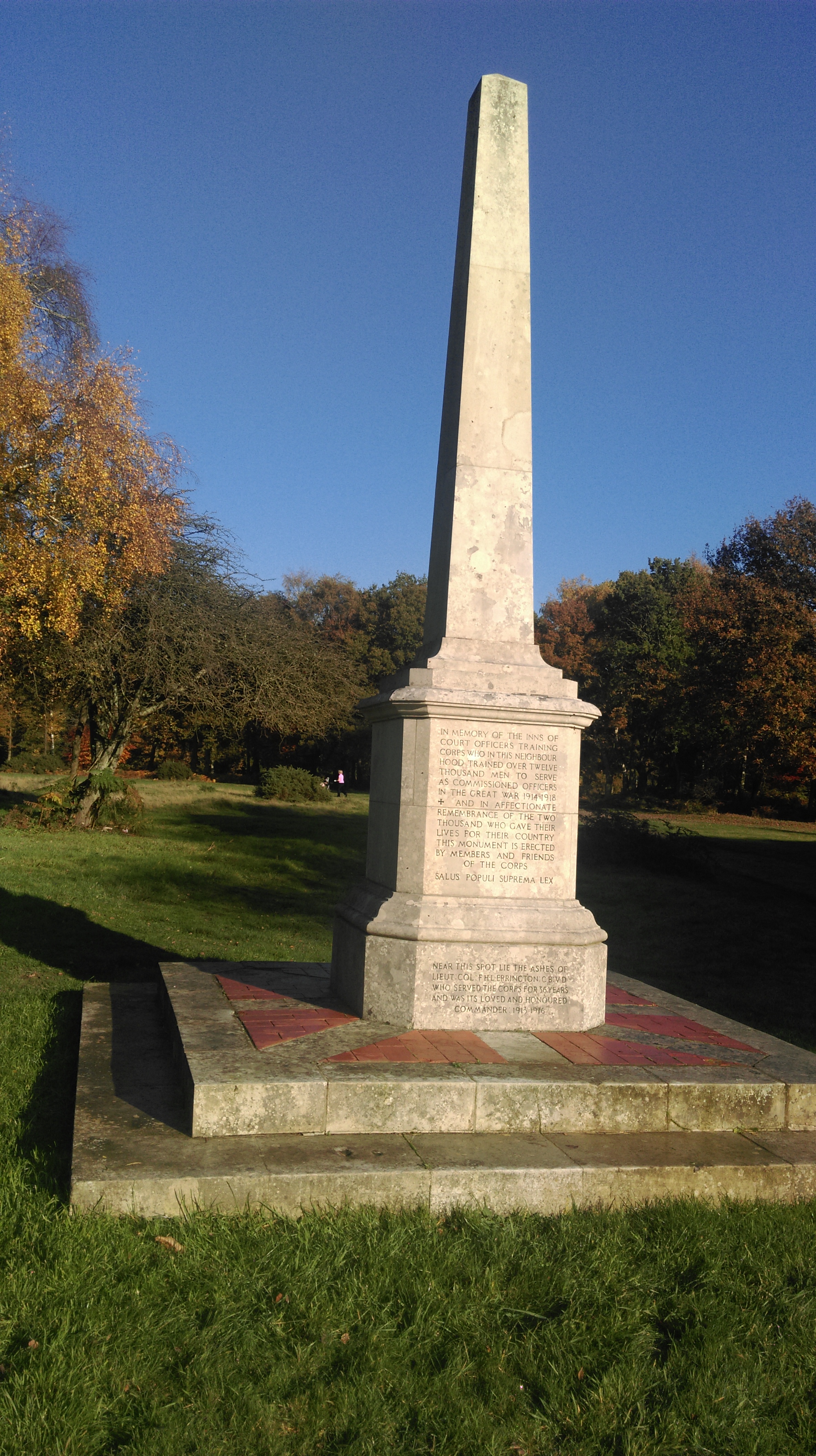
Inns of Court War Memorial

The Inns of Court Officers Training Corps Memorial is a First World War memorial near Berkhamsted, in the west of Hertfordshire. It is now on land that...

The Mansion, Berkhamsted

The Mansion, Berkhamsted is a historic property on Castle Hill in Berkhamsted. It is a Grade II Listed building. == History == The house was designed by...

Danais (hundred)

Danais (Latinised as Dacorum) Hundred was a judicial and taxation subdivision (a hundred) of Hertfordshire, in the west of the county, that existed from...

Dacorum

Dacorum is a local government district with borough status in Hertfordshire, England. The council is based in Hemel Hempstead. The borough also includes...

Nearby Amenities

Located within 500m of 51.770916,-0.5435475
Ele NPE: 559 ft
Fixme: ?metric?
Source: npe
Lat/Long: 51.7683731/-0.5436716
War Memorial
Historic: monument
Lat/Long: 51.7730141/-0.5447955
Bus Stop
Castle Village
Bus: yes
Naptan AtcoCode: 210021418950
Naptan Bearing: W
Naptan CommonName: Castle Village
Naptan Crossing: The Mansion
Naptan Indicator: adj
Naptan Landmark: The Mansion
Naptan NaptanCode: hrtdgdag
Naptan ShortCommonName: NA
Naptan Street: Britwell Drive
Naptan Verified: no
Public Transport: platform
Source: naptan_import
Lat/Long: 51.7687651/-0.5464928
Note: Can be seen on Google Street View (image April 2011) but now gone. It is possible it was removed after new postbox in the Castle Village development (ref HP4 57) was installed; and that this postbox may have been the HP4 6 which cannot be located.
Post Box Type: wall
Removed Amenity: post_box
Source: survey
Survey Date: 2016-01-10
Lat/Long: 51.7692383/-0.5459788
Post Box
Brand: Royal Mail
Brand Wikidata: Q638098
Brand Wikipedia: en:Royal Mail
Collection Times: Mo-Fr 16:30; Sa 09:15
Operator: Royal Mail
Operator Wikidata: Q638098
Post Box Type: lamp
Ref: HP4 57
Royal Cypher: EIIR
Royal Cypher Wikidata: Q33102113
Source: survey
Survey Date: 2016-01-10
Lat/Long: 51.7687762/-0.5466185
The Kiosk
Addr City: Berkhamsted
Addr Postcode: HP4 2GS
Addr Street: Britwell Drive
Fhrs Id: 734648
Shop: convenience
Lat/Long: 51.7682566/-0.5468455
Restaurant
The Drawbridge
Addr City: Berkhamsted
Addr Postcode: HP4 2GS
Addr Street: Britwell Drive
Fhrs Id: 201874
Lat/Long: 51.7682217/-0.5469487
Castle Village
Place: hamlet
Lat/Long: 51.7690259/-0.5469197
Grimms Ditch
Historic: archaeological_site
Lat/Long: 51.7718877/-0.5429184
Give Way
Direction: forward
Source: bing
Traffic Sign: GB:1003A
Lat/Long: 51.767477/-0.5452952
Give Way
Direction: backward
Source: bing
Traffic Sign: GB:1003A
Lat/Long: 51.7675262/-0.5451793
Traffic Calming: island
Lat/Long: 51.7674549/-0.5453304
The data included in this document is from www.openstreetmap.org. The data is made available under ODbL.

Have you been to Berkhamsted Hill?

Leave your review of Berkhamsted Hill below (or comments, questions and feedback).