Coney Hill

Hill, Mountain in Bedfordshire

England

Coney Hill

Ampthill Angling Club Lake which was a former Hanson Brick clay pit - now used exclusively by Ampthill angling club.
Ampthill Angling Club Credit: Marcus de Figueiredo

Coney Hill is a small hill located in the county of Bedfordshire, England. Situated near the village of Coney Weston, it is known for offering picturesque views of the surrounding countryside. Despite being referred to as a hill, it should be noted that Coney Hill is relatively modest in size and is more accurately described as a gentle incline rather than a towering mountain.

The hill itself is covered in lush green grass and is adorned with a scattering of trees, providing a serene and peaceful setting for visitors to enjoy. It is a popular spot for locals and tourists alike, who often venture up the hill to take in the panoramic vistas that stretch out before them.

Coney Hill is accessible to the public and can be reached via a footpath that winds its way up the slope. At the summit, there is a small clearing where people can relax and take in the breathtaking views of the surrounding countryside, including rolling hills, farmland, and quaint villages in the distance.

The hill also has historical significance, with evidence of ancient settlements and burial mounds discovered in the vicinity. This adds an extra layer of intrigue for those interested in the area's past.

Overall, Coney Hill offers a tranquil and scenic retreat for nature lovers and those seeking a peaceful escape from the hustle and bustle of everyday life. Whether it's a leisurely walk or a moment of quiet reflection, Coney Hill provides a welcome respite in the heart of Bedfordshire.

If you have any feedback on the listing, please let us know in the comments section below.
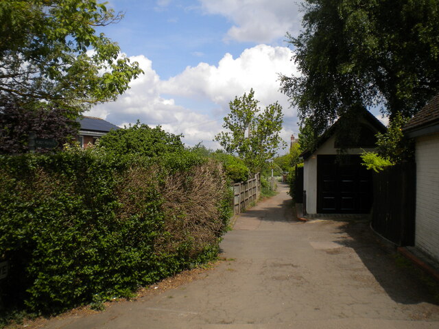
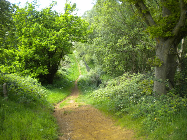
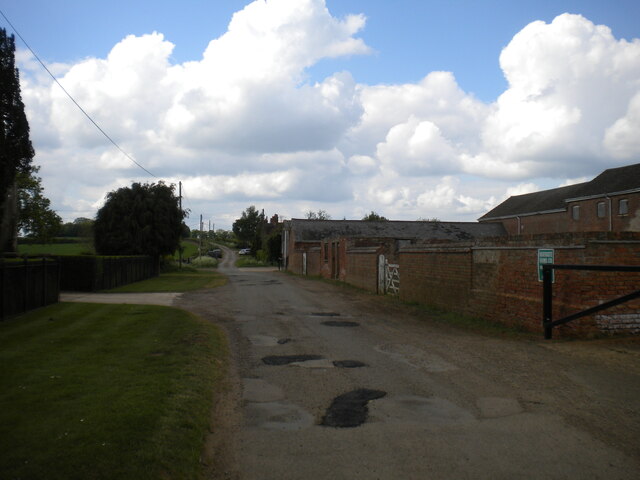
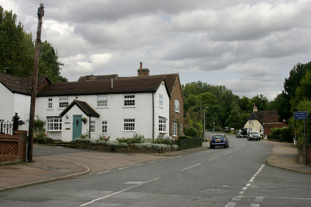
Coney Hill Images

Images are sourced within 2km of 52.032716/-0.54808901 or Grid Reference SP9938. Thanks to Geograph Open Source API. All images are credited.

Ampthill Angling Club Lake which was a former Hanson Brick clay pit - now used exclusively by Ampthill angling club.
Ampthill Angling Club
Lake which was a former Hanson Brick clay pit - now used exclusively by Ampthill angling club.
Level crossing, Lidlington Looking from Church Street across the railway to Station Road. The platforms of the station, on the Bedford to Bletchley line, are staggered either side of the crossing so that trains stop after the crossing in both directions.
Level crossing, Lidlington
Looking from Church Street across the railway to Station Road. The platforms of the station, on the Bedford to Bletchley line, are staggered either side of the crossing so that trains stop after the crossing in both directions.
Down platform, Lidlington railway station Used by trains from Bletchley to Bedford; the platform for trains in the opposite direction is behind the photographer. A Bedford train is approaching, hence the barrier being down and red lights flashing.
Down platform, Lidlington railway station
Used by trains from Bletchley to Bedford; the platform for trains in the opposite direction is behind the photographer. A Bedford train is approaching, hence the barrier being down and red lights flashing.
The Grove, Lidlington A public footpath off Lombard Street. The path forms part of the Marston Vale Trail.
The Grove, Lidlington
A public footpath off Lombard Street. The path forms part of the Marston Vale Trail.
Lombard Street, Lidlington
Public bridleway south east of Lidlington (1) Looking towards the village, which is only a short walk downhill from here. The path forms part of the Marston Vale Trail.
Public bridleway south east of Lidlington (1)
Looking towards the village, which is only a short walk downhill from here. The path forms part of the Marston Vale Trail.
Graveyard south east of Lidlington Once the churchyard of All Saints' Church, of which little remains.
Graveyard south east of Lidlington
Once the churchyard of All Saints' Church, of which little remains.
Public bridleway south east of Lidlington (2) Forming part of the Marston Vale Trail. This was quite an ascent on what was turning out to be a surprisingly warm day, and I would imagine it would be tricky in either direction on horseback.
Public bridleway south east of Lidlington (2)
Forming part of the Marston Vale Trail. This was quite an ascent on what was turning out to be a surprisingly warm day, and I would imagine it would be tricky in either direction on horseback.
Public bridleway on Jackdaw Hill (1) Forming part of the Marston Vale Trail.
Public bridleway on Jackdaw Hill (1)
Forming part of the Marston Vale Trail.
Bury Ware south of Lidlington (1) Looking towards the A507 just south of Southview Farm.
Bury Ware south of Lidlington (1)
Looking towards the A507 just south of Southview Farm.
Bury Ware south of Lidlington (2) Looking towards Lidlington, with Southview Farm on the right.
Bury Ware south of Lidlington (2)
Looking towards Lidlington, with Southview Farm on the right.
Public footpath south west of Southview Farm A broad field edge path that forms part of the Greensand Ridge Walk.
Public footpath south west of Southview Farm
A broad field edge path that forms part of the Greensand Ridge Walk.
Well marked footpath west of Southview Farm Part of the Greensand Ridge Walk.
Well marked footpath west of Southview Farm
Part of the Greensand Ridge Walk.
Public footpath north of Boughton End Farm (1) Meandering in the general direction of Lidlington.
Public footpath north of Boughton End Farm (1)
Meandering in the general direction of Lidlington.
Public footpath north of Boughton End Farm (2) Curving gently downhill towards the farm, forming part of the Greensand Ridge Walk.
Public footpath north of Boughton End Farm (2)
Curving gently downhill towards the farm, forming part of the Greensand Ridge Walk.
Spot the public footpath, Boughton End Farm One of those sections of footpath that looks like it ought to be obvious from the 1:25,000 OS map but really isn't on the ground. Thankfully, I had approached from the copse visible atop the hill, so I was able to follow it as far as the point at which it petered out next to the farm building on the left and then simply aim for the way out onto the road. The path forms part of the Greensand Ridge Walk.
Spot the public footpath, Boughton End Farm
One of those sections of footpath that looks like it ought to be obvious from the 1:25,000 OS map but really isn't on the ground. Thankfully, I had approached from the copse visible atop the hill, so I was able to follow it as far as the point at which it petered out next to the farm building on the left and then simply aim for the way out onto the road. The path forms part of the Greensand Ridge Walk.
Boughton End Lane south east of Boughton End Farm Looking towards the A507.
Boughton End Lane south east of Boughton End Farm
Looking towards the A507.
Boughton End Lane passing Boughton End Farm Showing evidence of recent carriageway patching. This section of the road is part of the Greensand Ridge Walk, between two public footpaths that are about 100 yards apart.
Boughton End Lane passing Boughton End Farm
Showing evidence of recent carriageway patching. This section of the road is part of the Greensand Ridge Walk, between two public footpaths that are about 100 yards apart.
Show me another place!

Coney Hill is located at Grid Ref: SP9938 (Lat: 52.032716, Lng: -0.54808901)

Unitary Authority: Central Bedfordshire

Police Authority: Bedfordshire

What 3 Words

///showcases.restored.marmalade. Near Lidlington, Bedfordshire

Related Wikis

Nearby Amenities

Located within 500m of 52.032716,-0.54808901
Communication Mobile Phone: yes
Man Made: mast
Source: survey
Tower Type: communication
Lat/Long: 52.0321592/-0.5432047
The data included in this document is from www.openstreetmap.org. The data is made available under ODbL.

Have you been to Coney Hill?

Leave your review of Coney Hill below (or comments, questions and feedback).