Castle Hill
Hill, Mountain in Lincolnshire South Kesteven
England
Castle Hill

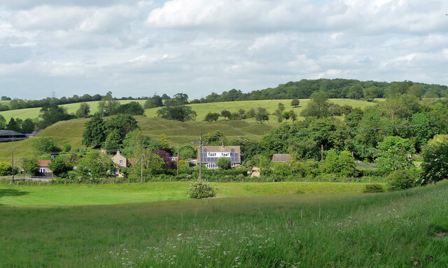
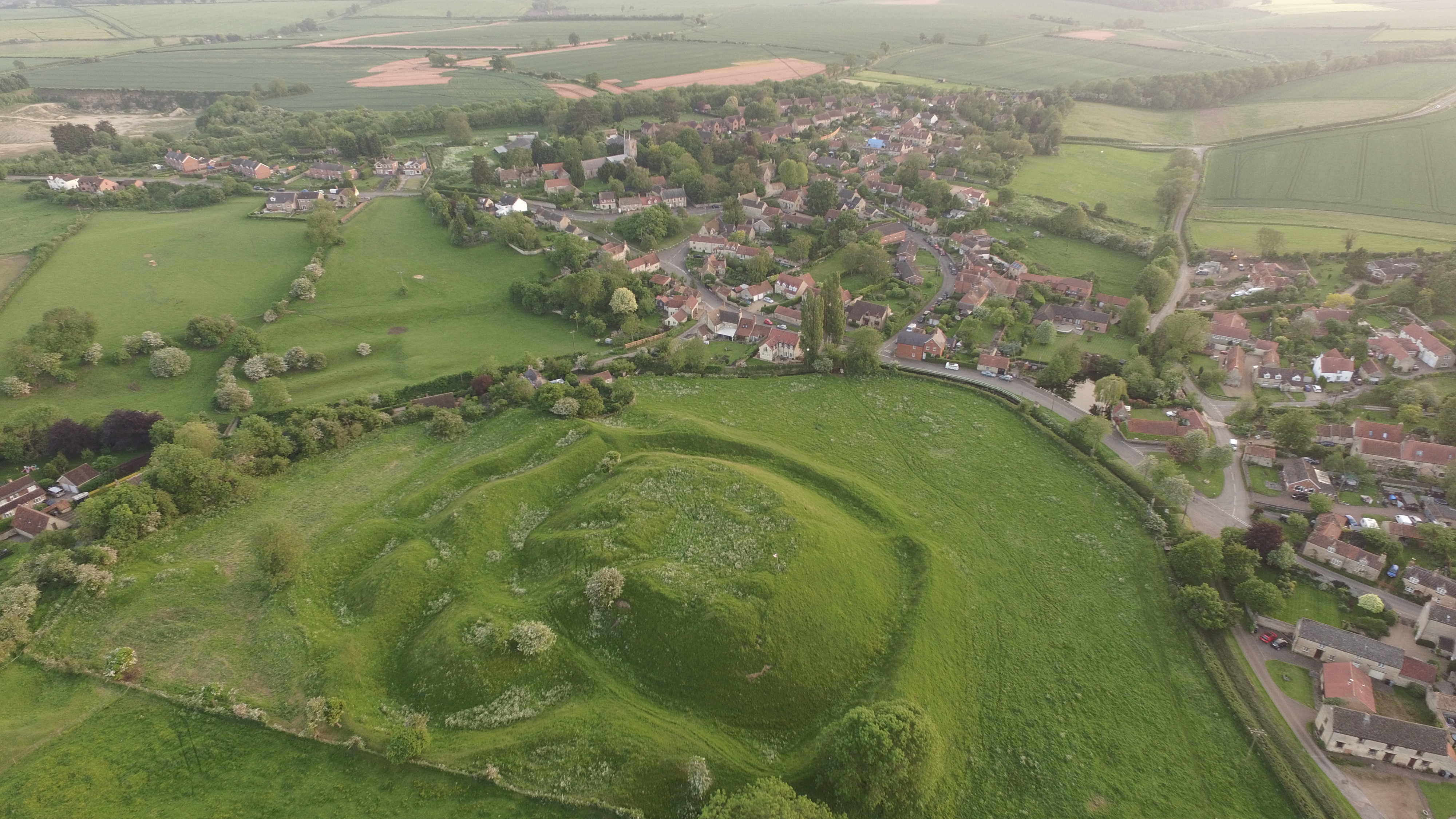
Castle Hill is a prominent landmark located near the town of Grantham in Lincolnshire, England. Rising to a height of 400 feet above sea level, it is often referred to as a "hill," although it is more accurately described as a large limestone outcrop. The site is of great historical significance and has been inhabited for thousands of years.
The name "Castle Hill" derives from the remains of a Norman motte-and-bailey castle that once stood at the summit. Built in the 12th century, the castle was strategically positioned to overlook the surrounding countryside and control the nearby River Witham.
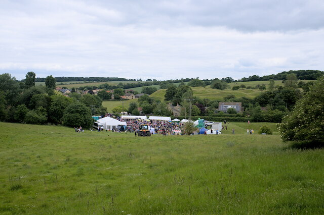
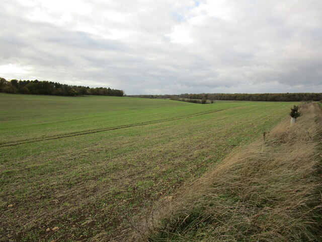
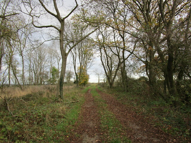
Today, Castle Hill is a popular destination for nature lovers and history enthusiasts alike. The area surrounding the hill is a designated nature reserve, boasting a diverse range of flora and fauna. Visitors can explore the network of footpaths that crisscross the hill, offering breathtaking views of the Lincolnshire countryside.
The site also features several archaeological remains, including the remnants of the medieval castle, which provide insight into the region's past. Additionally, Castle Hill is home to an Iron Age enclosure, believed to have been constructed around 500 BC.
Accessible to the public, Castle Hill offers ample parking facilities and visitor amenities. It is a beloved spot for picnics, leisurely walks, and educational outings. The hill's rich history and natural beauty make it a must-visit destination in Lincolnshire.
If you have any feedback on the listing, please let us know in the comments section below.
Castle Hill Images
Images are sourced within 2km of 52.755989/-0.53322589 or Grid Reference SK9918. Thanks to Geograph Open Source API. All images are credited.


Castle Hill is located at Grid Ref: SK9918 (Lat: 52.755989, Lng: -0.53322589)
Administrative County: Lincolnshire
District: South Kesteven
Police Authority: Lincolnshire
What 3 Words
///comfort.impressed.reflected. Near Clipsham, Rutland
Nearby Locations
Related Wikis
Bytham Castle
Bytham Castle was a castle in the village of Castle Bytham in Lincolnshire (grid reference SK992186.) The castle is thought to be of early Norman origin...
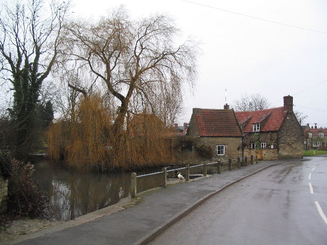
Castle Bytham
Castle Bytham is a village and civil parish of around 300 houses in South Kesteven, Lincolnshire, England. It is located 9 miles (14 km) north of Stamford...
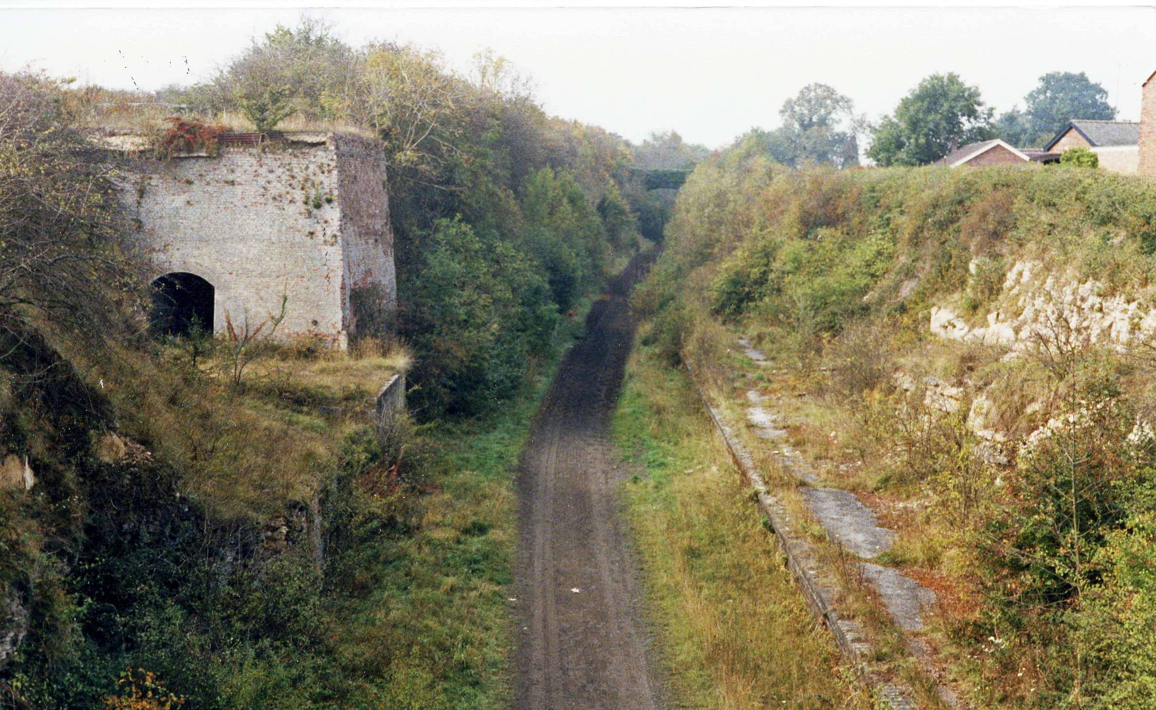
Castle Bytham railway station
Castle Bytham railway station was a station in Castle Bytham. It was Midland Railway property but train services were operated by the Midland and Great...
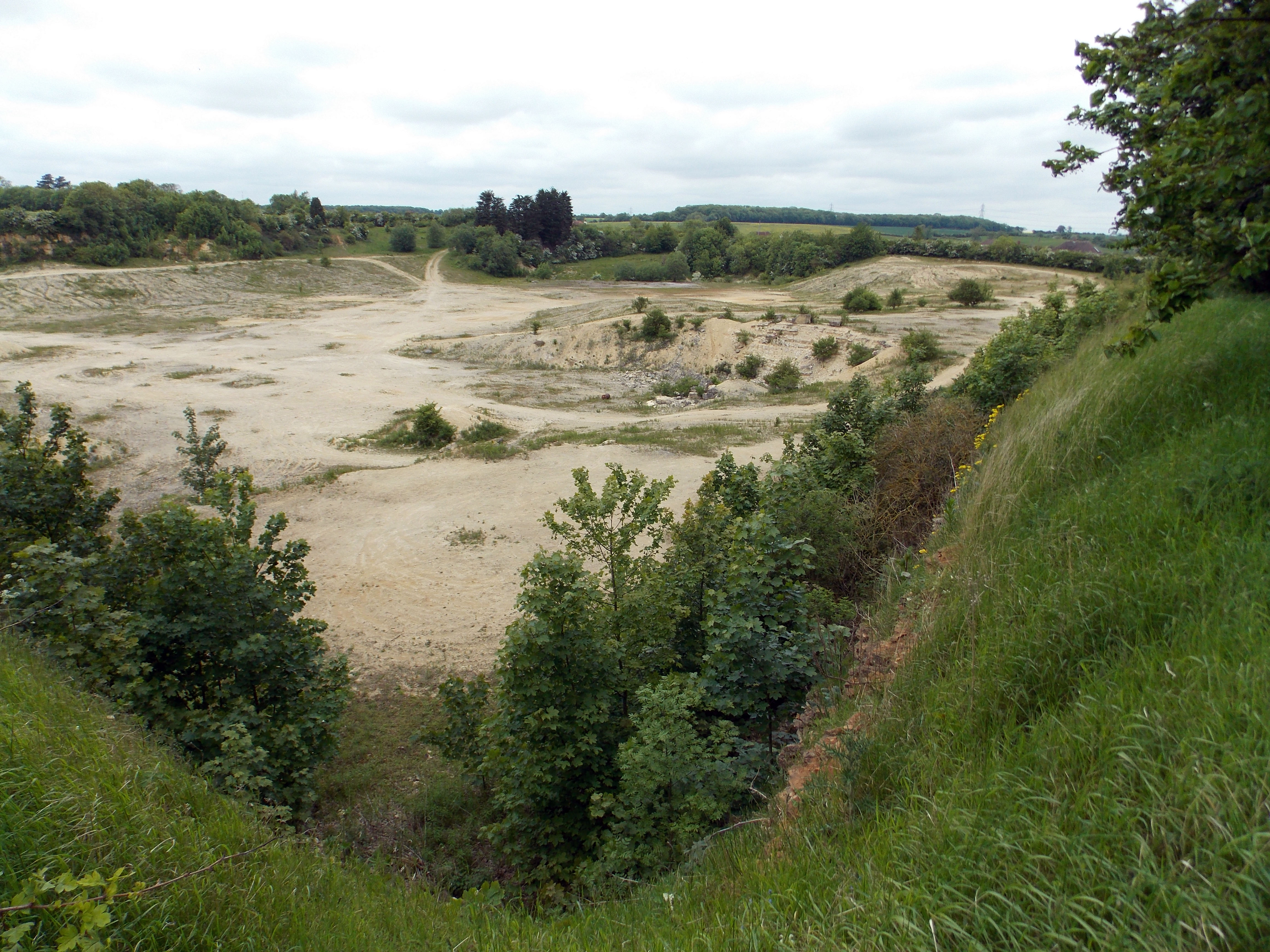
Castle Bytham Quarry
Castle Bytham quarry is a disused quarry located close to the centre of the village of Castle Bytham, Lincolnshire, England. It is famous for the exposure...
Nearby Amenities
Located within 500m of 52.755989,-0.53322589Have you been to Castle Hill?
Leave your review of Castle Hill below (or comments, questions and feedback).