Bignor Hill

Hill, Mountain in Sussex Chichester

England

Bignor Hill

View NW towards Bignor Hill I took this from the South Downs Way.
View NW towards Bignor Hill Credit: Ian Cunliffe

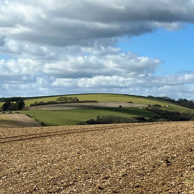
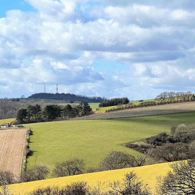
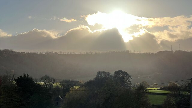
Bignor Hill is a prominent hill located in the county of Sussex, England. It is part of the South Downs National Park and is situated near the village of Bignor. Rising to an elevation of 213 meters (699 feet), Bignor Hill offers spectacular panoramic views of the surrounding landscape.

The hill is primarily composed of chalk, which is characteristic of the South Downs range. The chalky soil supports a diverse range of plant and animal species, making it an important habitat for wildlife. Visitors to Bignor Hill can expect to see an array of wildflowers, including orchids and cowslips, as well as various species of butterflies and birds.

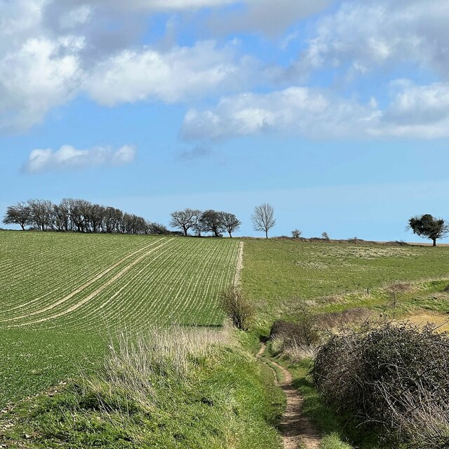
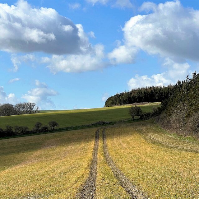
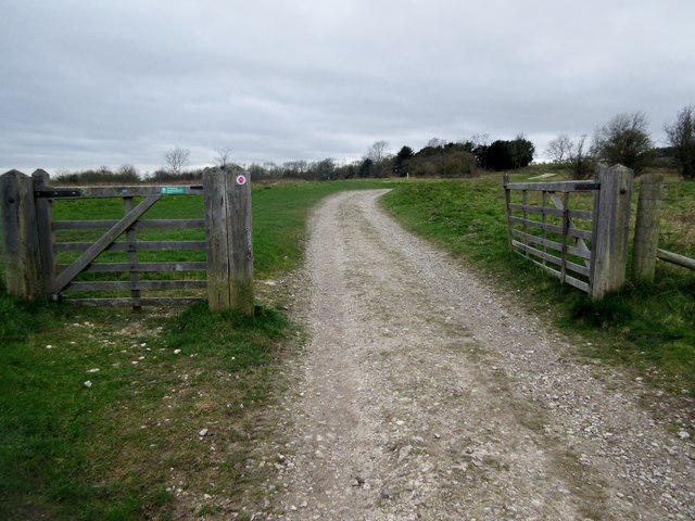
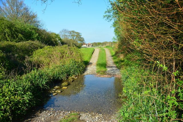
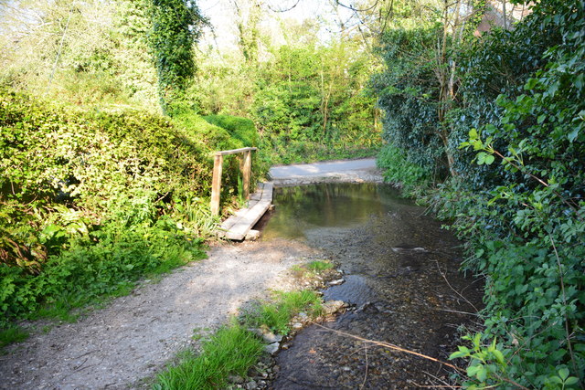
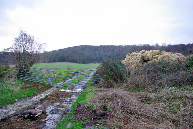
The hill is a popular destination for outdoor enthusiasts, offering several walking trails and bridleways that traverse its slopes. The South Downs Way, a long-distance footpath that stretches from Winchester to Eastbourne, passes through Bignor Hill, attracting hikers and cyclists from far and wide.

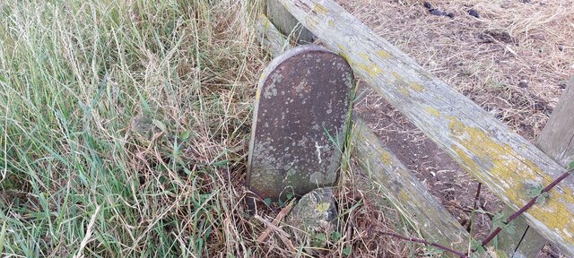
At the summit of Bignor Hill, there is a trig point, which is a concrete pillar used in surveying. This serves as a marker and offers a point of interest for visitors. Additionally, there is a small car park nearby, providing convenient access for those wishing to explore the hill and its surroundings.

Overall, Bignor Hill is a picturesque and accessible natural landmark, offering breathtaking views and an opportunity to engage with the beauty of the Sussex countryside.

If you have any feedback on the listing, please let us know in the comments section below.
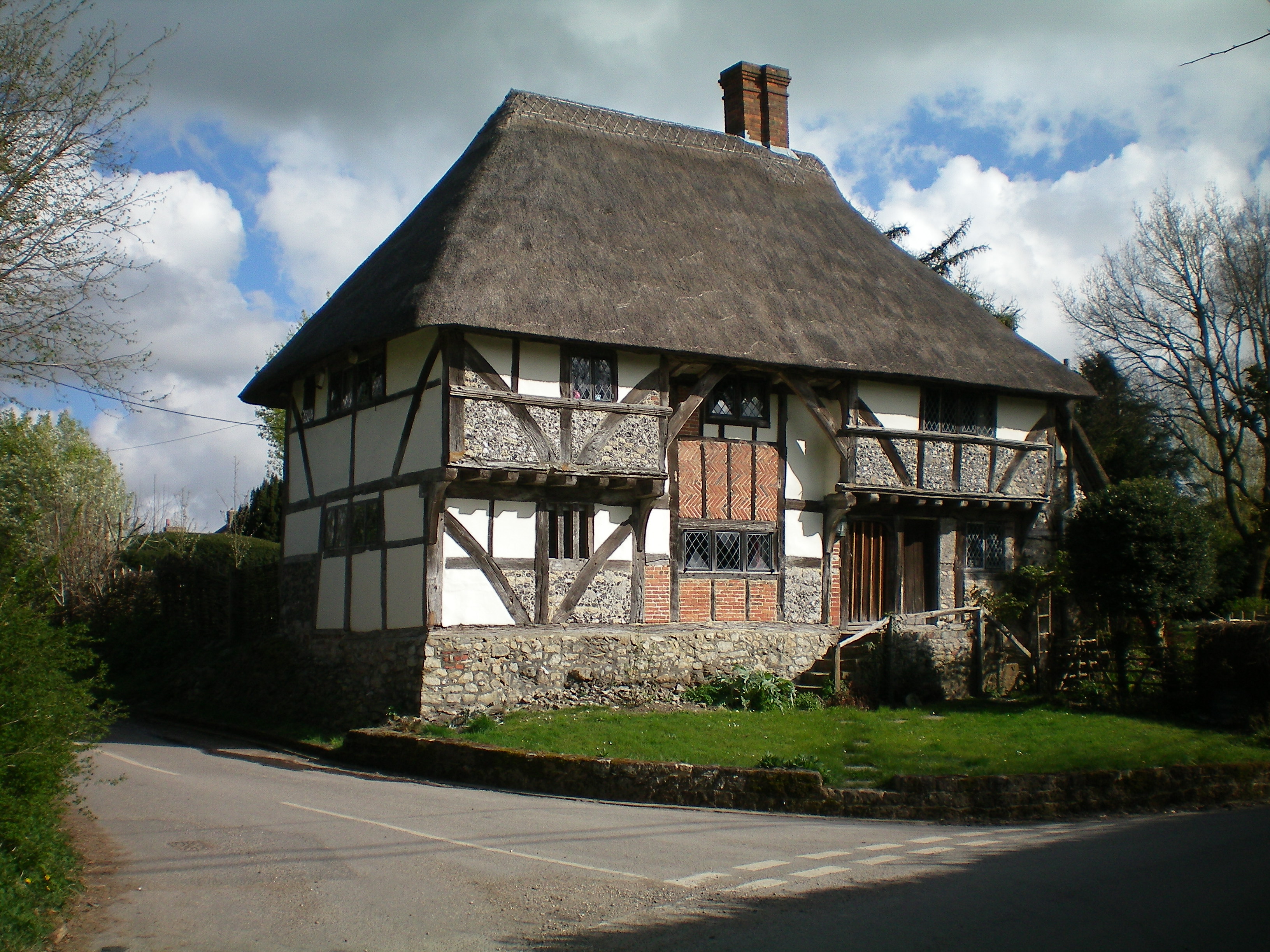
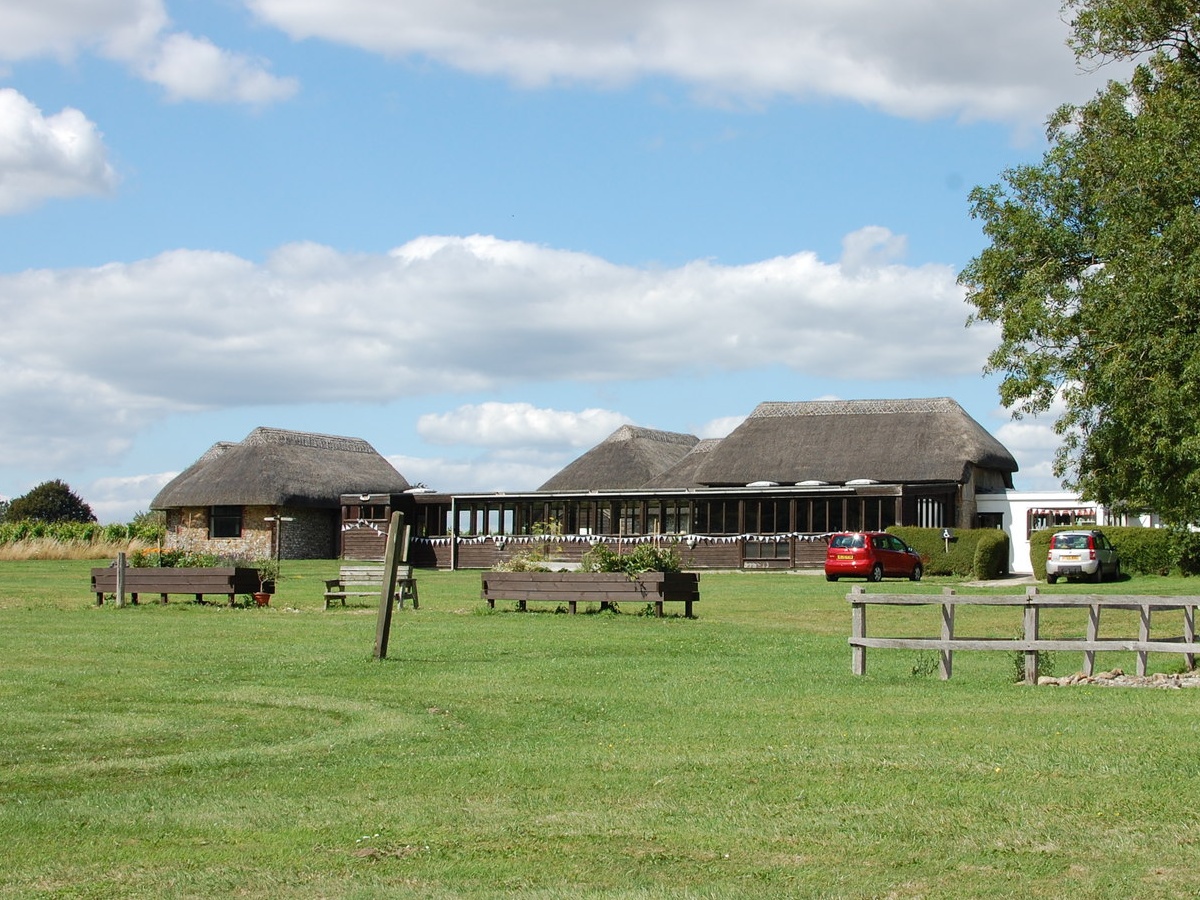
Bignor Hill Images

Images are sourced within 2km of 50.910177/-0.60535212 or Grid Reference SU9813. Thanks to Geograph Open Source API. All images are credited.

View NW towards Bignor Hill I took this from the South Downs Way.
View NW towards Bignor Hill
I took this from the South Downs Way.
View WNW towards Glatting Beacon You can see the communications masts on Glatting Beacon. I took this photo from the South Downs Way.
View WNW towards Glatting Beacon
You can see the communications masts on Glatting Beacon. I took this photo from the South Downs Way.
View ESE towards Bury Hill I took this from the South Downs Way.
View ESE towards Bury Hill
I took this from the South Downs Way.
View WNW from a point west of King's Buildings I was a little south of the marked bridleway when I took this photo. It's difficult to find and follow the bridleway. An obvious track cuts across the field to the south of it - so I followed that.
View WNW from a point west of King's Buildings
I was a little south of the marked bridleway when I took this photo. It's difficult to find and follow the bridleway. An obvious track cuts across the field to the south of it - so I followed that.
Stubble - south of Bignor Hill car park
Sheep in the shade - near the neolithic camp
Sunflower head There was a field of immensely tall sunflowers to the north of the public footpath.
Sunflower head
There was a field of immensely tall sunflowers to the north of the public footpath.
Phone box with defibrillator inside
Tracks in the stubble This vivid yellow stubble is common hereabouts. I'm not sure what the crop was.
Tracks in the stubble
This vivid yellow stubble is common hereabouts. I'm not sure what the crop was.
View SW towards Bignor Hill and Glatting Beacon
Old Boundary Marker on Bignor Hill Estate Boundary Marker beside a wooden fence and the South Downs Way close to Toby's Stone monument. F (vertical line) L in raised lettering on north face. On the boundary of Bignor and Bury parishes but reported as an estate boundary marker on the Slindon Estate by the National Trust. Not shown on OS maps before 1914. 

Milestone Society National ID: SX_BIGBUR01em
Old Boundary Marker on Bignor Hill
Estate Boundary Marker beside a wooden fence and the South Downs Way close to Toby's Stone monument. F (vertical line) L in raised lettering on north face. On the boundary of Bignor and Bury parishes but reported as an estate boundary marker on the Slindon Estate by the National Trust. Not shown on OS maps before 1914. Milestone Society National ID: SX_BIGBUR01em
South Downs Way climing Bignor Hill Public bridleway 2856.
South Downs Way climing Bignor Hill
Public bridleway 2856.
Track to Gumber Corner Public bridleway 2856/1.
Track to Gumber Corner
Public bridleway 2856/1.
Track to Glatting Beacon For a short distance the South Downs Way follows public bridleway 413 which then continues on to Upwaltham Hill.
Track to Glatting Beacon
For a short distance the South Downs Way follows public bridleway 413 which then continues on to Upwaltham Hill.
Glatting Farm Ford This bridleway ford is found in the entrance to Glatting Farm.
Glatting Farm Ford
This bridleway ford is found in the entrance to Glatting Farm.
Bignor Ford This ford is found close to Jay's Farm at Bignor.
Bignor Ford
This ford is found close to Jay's Farm at Bignor.
Field entrance off Glatting Lane
Stane Street The Roman Road Stane Street continues beyond the stile. The route is part of the Monarchs Way.
Stane Street
The Roman Road Stane Street continues beyond the stile. The route is part of the Monarchs Way.
Show me another place!

Bignor Hill is located at Grid Ref: SU9813 (Lat: 50.910177, Lng: -0.60535212)

Administrative County: West Sussex

District: Chichester

Police Authority: Sussex

What 3 Words

///rushed.inversion.cakewalk. Near Fontwell, West Sussex

Related Wikis

Bignor Hill

Bignor Hill is a hill near Bignor in Sussex. The South Downs Way passes over the hill. Near the summit are the remains of a memorial to Toby Wentworth...

Barkhale Camp

Barkhale Camp is a Neolithic causewayed enclosure, an archaeological site on Bignor Hill, on the South Downs in West Sussex, England. Causewayed enclosures...

Bignor

Bignor is a village and civil parish in the Chichester district of the English county of West Sussex, about six miles (9.7 km) north of Arundel. It is...

Duncton to Bignor Escarpment

Duncton to Bignor Escarpment is a 229-hectare (570-acre) biological Site of Special Scientific Interest west of Pulborough in West Sussex. It is a Special...

Bignor Roman Villa

Bignor Roman Villa is a large Roman courtyard villa which has been excavated and put on public display on the Bignor estate in the English county of West...

Bury Hill, Arundel

Bury Hill is an area of West Sussex, England, north of Arundel and southwest of Bury. In the 18th century, its name may have sometimes been spelled Berry...

Sutton, West Sussex

Sutton is a village and civil parish in the District of Chichester in West Sussex, England, located six kilometres (4 miles) south of Petworth and east...

West Burton, West Sussex

West Burton is a small hamlet in the Parish of Bury and the Chichester district of West Sussex, England. It lies between Bignor and Bury on the Lower Greensand...

Nearby Amenities

Located within 500m of 50.910177,-0.60535212
Bignor Hill
Natural: peak
Source: npe
Wikidata: Q4907004
Lat/Long: 50.9103709/-0.6051786
Toby Memorial
Historic: memorial
Inscription: Toby 1888-1955, Beryl 1886-1960, Richard 1916-87, Rosemary 1918-97. "Here he lies where he longed to be, Home is the sailor, Home from the sea, And the hunter, Home from the Hill"
Material: stone
Memorial: memorial
Lat/Long: 50.9098169/-0.6027172
The data included in this document is from www.openstreetmap.org. The data is made available under ODbL.

Have you been to Bignor Hill?

Leave your review of Bignor Hill below (or comments, questions and feedback).