Broom Hill

Hill, Mountain in Surrey Runnymede

England

Broom Hill

Totem Pole, Windsor Great Park The 100-foot pole bears traditional First Nations carvings and was a gift from the Canadian province of British Columbia to the Queen in 1958.
Totem Pole, Windsor Great Park Credit: Mark Percy

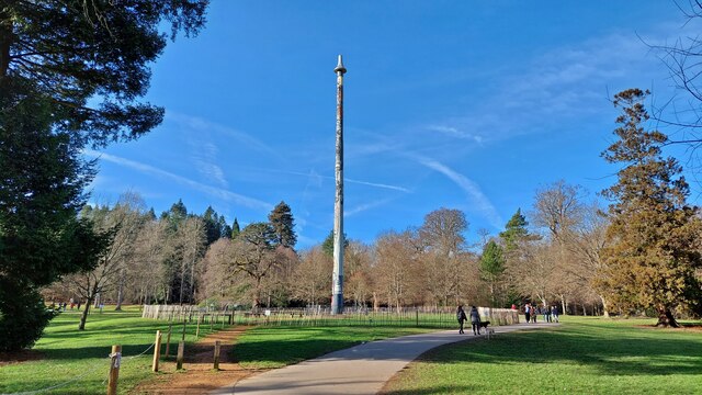
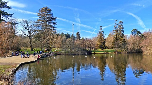
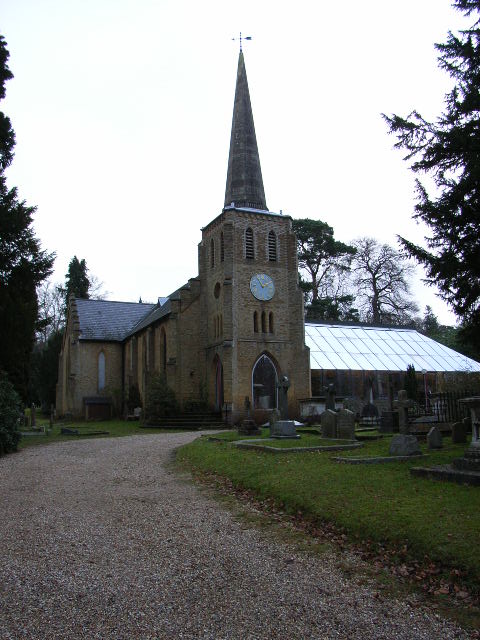
Broom Hill is a picturesque hill located in the county of Surrey, England. Situated near the village of Hindhead, it is part of the Surrey Hills Area of Outstanding Natural Beauty. Broom Hill stands at an elevation of approximately 198 meters (650 feet) above sea level, offering stunning panoramic views of the surrounding countryside.

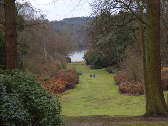
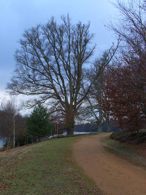
Covered in a lush carpet of greenery, Broom Hill is characterized by its dense woodlands and vibrant heathland. The hill is primarily composed of sandstone, which gives it a distinctive reddish hue. The diverse vegetation found on Broom Hill includes a variety of trees such as oak, beech, and birch, as well as heather and gorse, which add a splash of color to the landscape.

The hill is a popular destination for outdoor enthusiasts and nature lovers, offering a multitude of walking trails and pathways that wind through its verdant slopes. These trails provide both leisurely strolls for visitors seeking tranquility and more challenging routes for avid hikers. Broom Hill's expansive open spaces also make it an ideal spot for picnics and family outings.

In addition to its natural beauty, Broom Hill is home to a rich array of wildlife. The hill provides a habitat for a diverse range of bird species, including woodpeckers, warblers, and birds of prey such as buzzards and kestrels. Additionally, various mammals such as deer, foxes, and rabbits can be spotted throughout the area.

Overall, Broom Hill in Surrey offers a peaceful escape from the hustle and bustle of city life, providing visitors with breathtaking views, tranquil walks, and an opportunity to immerse themselves in the natural splendor of the Surrey Hills.

If you have any feedback on the listing, please let us know in the comments section below.
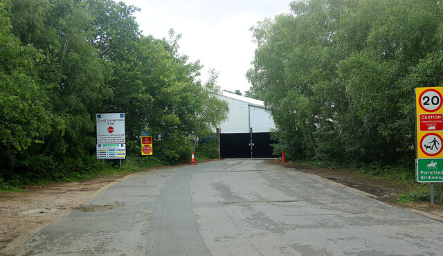
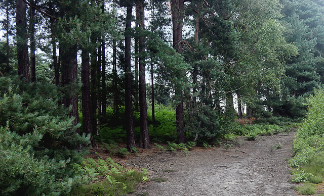
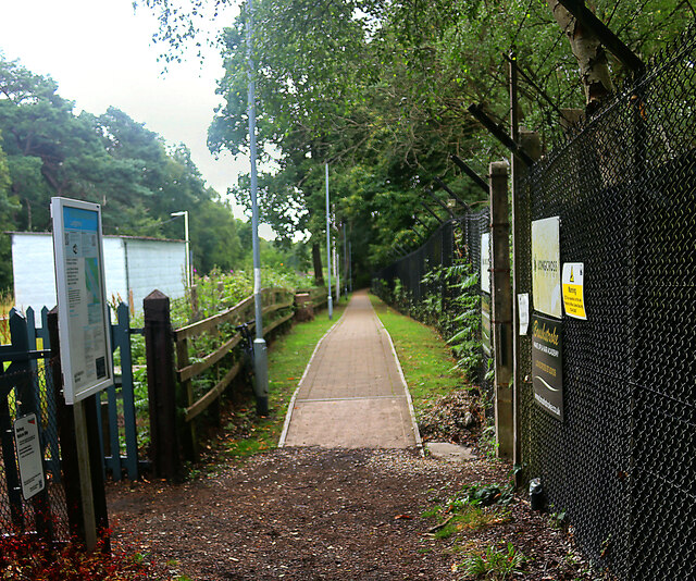
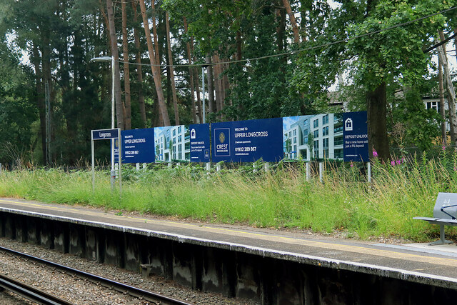
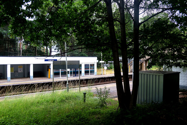
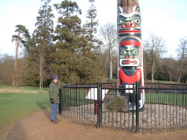
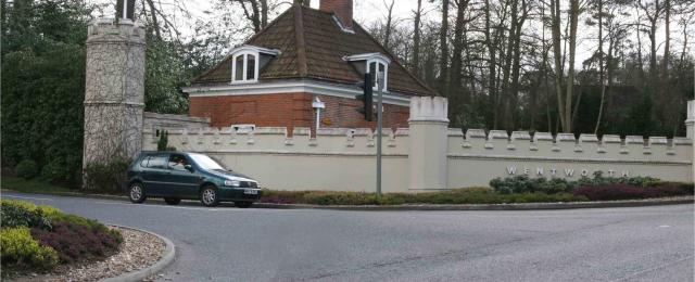
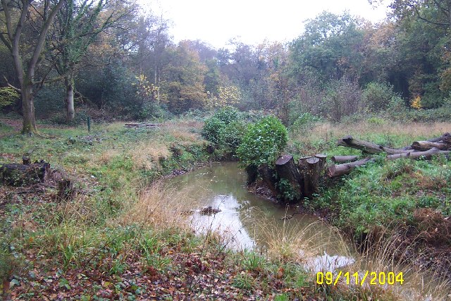
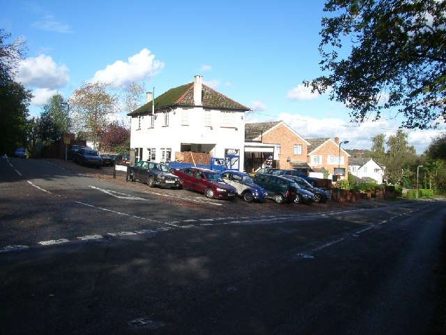
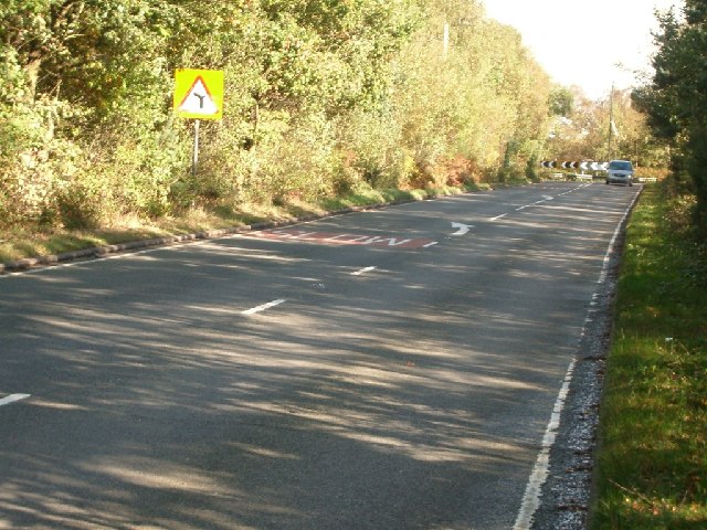
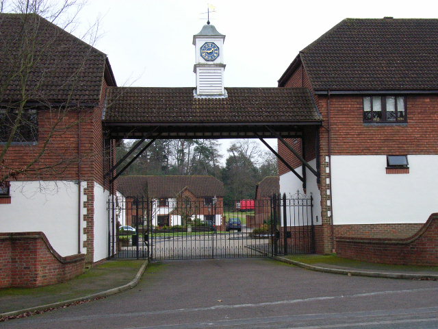
Broom Hill Images

Images are sourced within 2km of 51.400729/-0.59245436 or Grid Reference SU9867. Thanks to Geograph Open Source API. All images are credited.

Totem Pole, Windsor Great Park The 100-foot pole bears traditional First Nations carvings and was a gift from the Canadian province of British Columbia to the Queen in 1958.
Totem Pole, Windsor Great Park
The 100-foot pole bears traditional First Nations carvings and was a gift from the Canadian province of British Columbia to the Queen in 1958.
Wick Pond, Windsor Great Park Looking across Wick Pond to the totem pole.
Wick Pond, Windsor Great Park
Looking across Wick Pond to the totem pole.
Longcross station - entrance The facilities at and the service to Longcross have improved somewhat since the station was last Geographed in 2017. This reflects the fact that the adjacent former MoD site is now used by Longcross (film) Studios and that residential development has taken place at Upper Longcross nearby. Although there is still no direct road access the station, it is accessible along a made-up footpath. Despite the Tickets sign on the wall, the Permit to Travel machine was out of order.
Longcross station - entrance
The facilities at and the service to Longcross have improved somewhat since the station was last Geographed in 2017. This reflects the fact that the adjacent former MoD site is now used by Longcross (film) Studios and that residential development has taken place at Upper Longcross nearby. Although there is still no direct road access the station, it is accessible along a made-up footpath. Despite the Tickets sign on the wall, the Permit to Travel machine was out of order.
Longcross station looking west The facilities at and the service to Longcross have improved somewhat since the station was last Geographed in 2017. This reflects the fact that the adjacent former MoD site is now used by Longcross (film) Studios and that residential development has taken place at Upper Longcross nearby. Note that part of the previously spartan waiting room has now been glazed. Although there is still no direct road access the station, it is accessible along a made-up footpath. Despite the Tickets sign on the wall, the Permit to Travel machine was out of order.
Longcross station looking west
The facilities at and the service to Longcross have improved somewhat since the station was last Geographed in 2017. This reflects the fact that the adjacent former MoD site is now used by Longcross (film) Studios and that residential development has taken place at Upper Longcross nearby. Note that part of the previously spartan waiting room has now been glazed. Although there is still no direct road access the station, it is accessible along a made-up footpath. Despite the Tickets sign on the wall, the Permit to Travel machine was out of order.
Entrance to Crest Longcross Site An entrance to the former military site now in part occupied by Longcross Studios and being developed by Crest Nicholson.
Entrance to Crest Longcross Site
An entrance to the former military site now in part occupied by Longcross Studios and being developed by Crest Nicholson.
Footpath leading east to Longcross station This path through the woods links Burma Road and Chobham Common to the station and seems to be used mainly by walkers on the common.
Footpath leading east to Longcross station
This path through the woods links Burma Road and Chobham Common to the station and seems to be used mainly by walkers on the common.
Footpath leading east from Longcross station There is no road access to this station. This made-up footpath leads to the Crest Nicholson housing development at Upper Longcross.
Footpath leading east from Longcross station
There is no road access to this station. This made-up footpath leads to the Crest Nicholson housing development at Upper Longcross.
Sign proclaiming Upper Longcross at Longcross station Upper Longcross is a housing development on land adjacent to the former defence establishment at Longcross and is a few minutes walk from the station along a footpath. The area around the station is now more user-friendly in appearance than earlier Geographs suggested.
Sign proclaiming Upper Longcross at Longcross station
Upper Longcross is a housing development on land adjacent to the former defence establishment at Longcross and is a few minutes walk from the station along a footpath. The area around the station is now more user-friendly in appearance than earlier Geographs suggested.
Longcross station, up-side This station now looks less spartan than it did in the recent past when very few trains called there each day. A second (and locked) exit gate can be seen to the left of the steps.
Longcross station, up-side
This station now looks less spartan than it did in the recent past when very few trains called there each day. A second (and locked) exit gate can be seen to the left of the steps.
Virginia Water This Totem Pole is located on the extreme western edge of the square in Virginia Water.
Virginia Water
This Totem Pole is located on the extreme western edge of the square in Virginia Water.
Wentworth The entrance to the world famous championship golf course.
Wentworth
The entrance to the world famous championship golf course.
The Bourne, Virginia Water Recent clearance of trees has opened up this scene of The Bourne in the woodland between Virginia Water and Trumps Green. This view is taken looking westwards and upstream.
The Bourne, Virginia Water
Recent clearance of trees has opened up this scene of The Bourne in the woodland between Virginia Water and Trumps Green. This view is taken looking westwards and upstream.
Garage at the junction of Wellington Avenue and Trumpsgreen Road looking north
Garage at the junction of Wellington Avenue and Trumpsgreen Road
looking north
Chobham Lane looking north-east
Chobham Lane
looking north-east
The Polo Centre On the A329 near Blacknest
The Polo Centre
On the A329 near Blacknest
The Valley Gardens, Windsor Great Park The view from a gazebo in the gardens down to Virginia Water.
The Valley Gardens, Windsor Great Park
The view from a gazebo in the gardens down to Virginia Water.
Christ Church, Virginia Water
The banks of Virginia Water in Valley Gardens
Show me another place!

Broom Hill is located at Grid Ref: SU9867 (Lat: 51.400729, Lng: -0.59245436)

Administrative County: Surrey

District: Runnymede

Police Authority: Surrey

What 3 Words

///lace.puddles.limes. Near Virginia Water, Surrey

Related Wikis

2009 BMW PGA Championship

The 2009 BMW PGA Championship was the 55th edition of the BMW PGA Championship, an annual professional golf tournament on the European Tour. It was held...

1995 Volvo PGA Championship

The 1995 Volvo PGA Championship was the 41st edition of the Volvo PGA Championship, an annual professional golf tournament on the European Tour. It was...

2008 BMW PGA Championship

The 2008 BMW PGA Championship was the 54th edition of the BMW PGA Championship, an annual professional golf tournament on the European Tour. It was held...

2002 Volvo PGA Championship

The 2002 Volvo PGA Championship was the 48th edition of the Volvo PGA Championship, an annual professional golf tournament on the European Tour. It was...

2014 BMW PGA Championship

The 2014 BMW PGA Championship was the 60th edition of the BMW PGA Championship, an annual golf tournament on the European Tour, held 22–25 May at the West...

1990 Volvo PGA Championship

The 1990 Volvo PGA Championship was the 36th edition of the Volvo PGA Championship, an annual professional golf tournament on the European Tour. It was...

2003 Volvo PGA Championship

The 2003 Volvo PGA Championship was the 49th edition of the Volvo PGA Championship, an annual professional golf tournament on the European Tour. It was...

2005 BMW Championship

The 2005 BMW Championship was the 51st edition of the BMW Championship, an annual professional golf tournament on the European Tour. It was held 26–29...

Nearby Amenities

Located within 500m of 51.400729,-0.59245436
Wentworth
Building: yes
Source: npe
Lat/Long: 51.399942/-0.5888922
Broom Hill
Place: locality
Lat/Long: 51.4012048/-0.5932149
Wentworth Farm
Historic Place: farm
Lat/Long: 51.4033237/-0.5936086
Access: no
Door: yes
Entrance: emergency
Wheelchair: no
Lat/Long: 51.3986302/-0.5877407
Door: hinged
Lat/Long: 51.3992725/-0.588857
The data included in this document is from www.openstreetmap.org. The data is made available under ODbL.

Have you been to Broom Hill?

Leave your review of Broom Hill below (or comments, questions and feedback).