Wymond Hill
Hill, Mountain in Northamptonshire
England
Wymond Hill

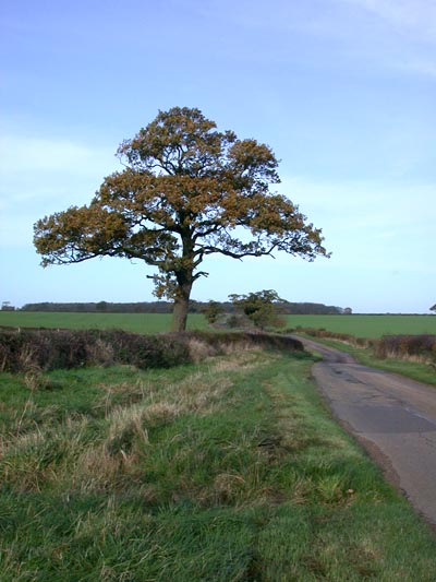
Wymond Hill is a prominent landmark located in Northamptonshire, England. It is situated near the village of Wymondham, about 10 miles southeast of the town of Oakham. The hill is a part of the picturesque Welland Valley, which is known for its rolling countryside and natural beauty.
Standing at an elevation of approximately 330 feet, Wymond Hill is not particularly tall compared to other mountains or hills around the world, but it offers breathtaking views of the surrounding area. The hill itself is covered in lush green vegetation and offers various walking trails, making it a popular destination for hikers and nature enthusiasts.
At the summit of Wymond Hill, there is a distinctive Iron Age hillfort, known as Castle Hill. This ancient fortification dates back to around 500 BC and is an important archaeological site. The hillfort consists of an oval-shaped enclosure with earthen ramparts and ditches. It is believed to have been used for defensive purposes during the Iron Age and possibly later.
The hill is also home to a variety of wildlife, including birds, rabbits, and foxes. The surrounding area boasts a diverse range of flora and fauna, adding to the natural beauty and appeal of Wymond Hill.
Overall, Wymond Hill in Northamptonshire offers visitors a chance to explore the region's rich history, enjoy stunning panoramic views, and immerse themselves in the tranquility of the English countryside.
If you have any feedback on the listing, please let us know in the comments section below.
Wymond Hill Images
Images are sourced within 2km of 52.514073/-0.56037829 or Grid Reference SP9791. Thanks to Geograph Open Source API. All images are credited.


Wymond Hill is located at Grid Ref: SP9791 (Lat: 52.514073, Lng: -0.56037829)
Unitary Authority: North Northamptonshire
Police Authority: Northamptonshire
What 3 Words
///dash.napkins.hurricane. Near Brigstock, Northamptonshire
Nearby Locations
Related Wikis
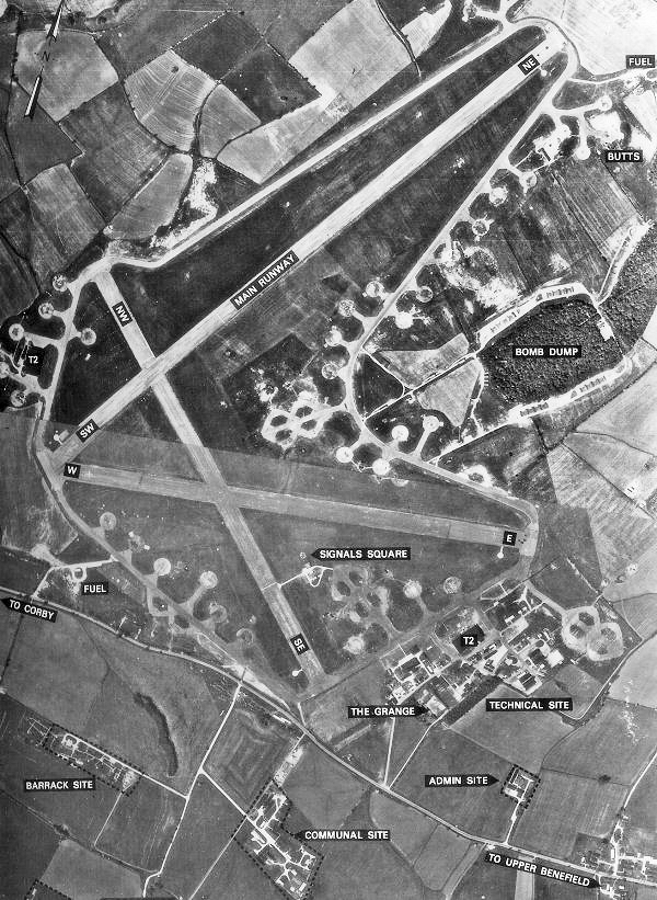
RAF Deenethorpe
Royal Air Force Deenethorpe or more simply RAF Deenethorpe is a former Royal Air Force station located 2 miles (3.2 km) east of Corby, Northamptonshire...
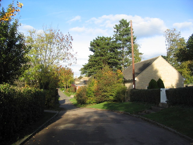
Deenethorpe
Deenethorpe is a village and civil parish in North Northamptonshire, England. It is situated north-east of Corby and near the A43 road between Corby and...

Upper Benefield
Upper Benefield is a linear village along the A427 road in the North Northamptonshire district of Northamptonshire, England. It is part of the civil parish...
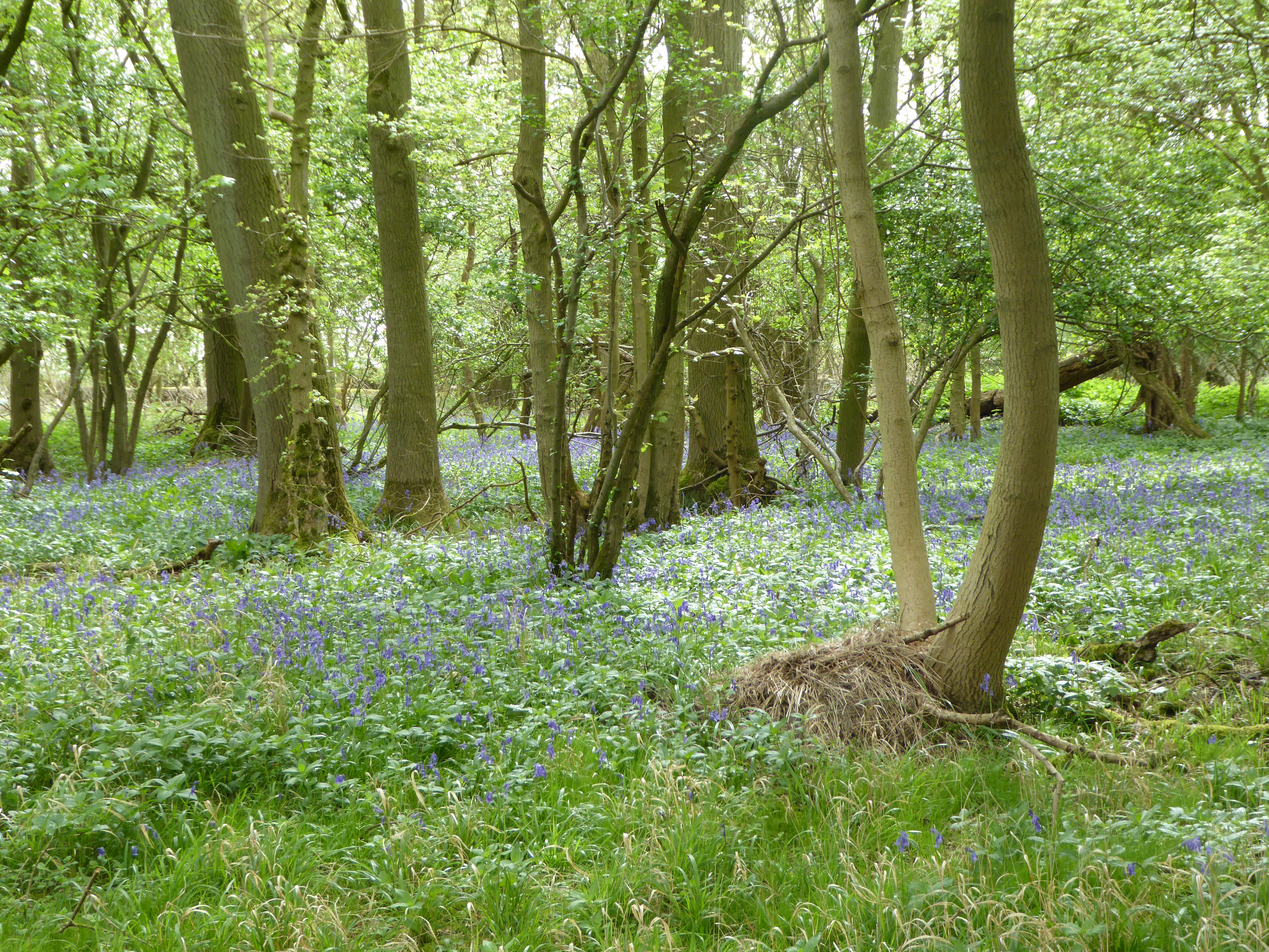
Glapthorn Cow Pasture
Glapthorn Cow Pasture is a 28.2-hectare (70-acre) biological Site of Special Scientific Interest north-west of Oundle in Northamptonshire. It is managed...
Benefield
Benefield is a civil parish in North Northamptonshire, England, along the A427 road and about 6 miles (9.7 km) east of Corby and 3 miles (4.8 km) west...
St Peter's Church, Deene
St Peter's Church is an Anglican church in the village of Deene, Northamptonshire, England. It is recorded in the National Heritage List for England as...

Deene Park
Deene Park, the seat of the Brudenell family since 1514, is a country manor located 5 miles (8 kilometres) northeast of Corby in the county of Northamptonshire...
Deene
Deene is a small village and civil parish near Deenethorpe and Bulwick in North Northamptonshire. It has a village hall, and notable buildings include...
Nearby Amenities
Located within 500m of 52.514073,-0.56037829Have you been to Wymond Hill?
Leave your review of Wymond Hill below (or comments, questions and feedback).