Copper Hill

Hill, Mountain in Lincolnshire North Kesteven

England

Copper Hill

Small trees on Moor Closes Encountered on the way to Woodland Waters through the Lincolnshire Wildlife Trust's site at Moor Closes. <span class="nowrap"><a title="https://www.lincstrust.org.uk/nature-reserves/moor-closes" rel="nofollow ugc noopener" href="https://www.lincstrust.org.uk/nature-reserves/moor-closes">Link</a><img style="margin-left:2px;" alt="External link" title="External link - shift click to open in new window" src="https://s1.geograph.org.uk/img/external.png" width="10" height="10"/></span>
Small trees on Moor Closes Credit: Ian Paterson

Copper Hill is a picturesque hill located in Lincolnshire, England. Situated in the heart of the county, it is a prominent feature of the landscape, offering stunning panoramic views of the surrounding countryside. The hill stands at an elevation of approximately 300 meters and is a popular destination for hikers, nature enthusiasts, and those seeking a peaceful retreat.

The name Copper Hill originates from the copper mining activities that took place in the area during the 19th century. Although the mining operations have long ceased, the hill still bears the legacy of this historical industry, with remnants of old mine shafts and tunnels visible to this day.

The terrain of Copper Hill is varied, with gentle slopes leading to steeper inclines as one ascends towards the summit. The hill is covered in lush greenery, dotted with patches of wildflowers and heather, which add a vibrant touch to the landscape. The area is rich in biodiversity, home to a variety of flora and fauna, including rare plant species and several bird species.

Visitors to Copper Hill can enjoy a range of activities, such as hiking, birdwatching, and photography. The hill is crisscrossed with well-maintained trails, allowing for easy exploration of its natural beauty. At the summit, a viewpoint provides breathtaking vistas of the rolling hills, valleys, and distant villages.

Copper Hill is not only a place of natural beauty but also a site of historical significance, offering a glimpse into the region's mining heritage. With its stunning vistas and peaceful ambiance, it is no wonder that Copper Hill attracts visitors from near and far, seeking solace in its tranquil surroundings.

If you have any feedback on the listing, please let us know in the comments section below.
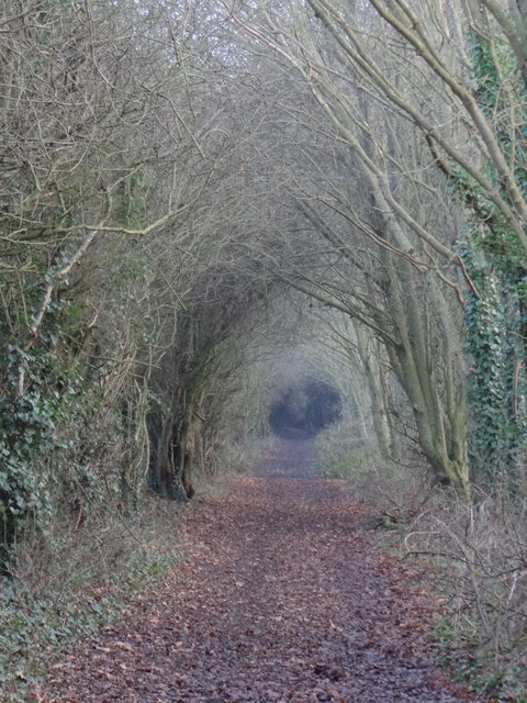
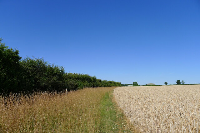
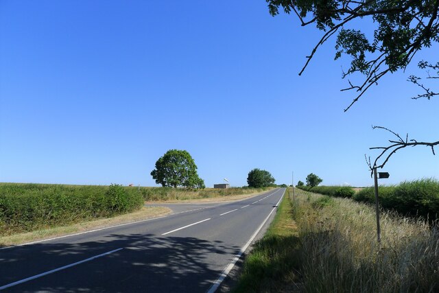
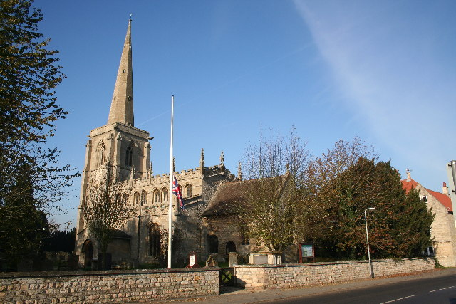
Copper Hill Images

Images are sourced within 2km of 52.966971/-0.54570479 or Grid Reference SK9742. Thanks to Geograph Open Source API. All images are credited.

Small trees on Moor Closes Encountered on the way to Woodland Waters through the Lincolnshire Wildlife Trust's site at Moor Closes. <span class="nowrap"><a title="https://www.lincstrust.org.uk/nature-reserves/moor-closes" rel="nofollow ugc noopener" href="https://www.lincstrust.org.uk/nature-reserves/moor-closes">Link</a><img style="margin-left:2px;" alt="External link" title="External link - shift click to open in new window" src="https://s1.geograph.org.uk/img/external.png" width="10" height="10"/></span>
Small trees on Moor Closes
Encountered on the way to Woodland Waters through the Lincolnshire Wildlife Trust's site at Moor Closes. LinkExternal link
Small trees and St Martin's Church View across Moor Closes nature reserve. <span class="nowrap"><a title="https://www.lincstrust.org.uk/nature-reserves/moor-closes" rel="nofollow ugc noopener" href="https://www.lincstrust.org.uk/nature-reserves/moor-closes">Link</a><img style="margin-left:2px;" alt="External link" title="External link - shift click to open in new window" src="https://s1.geograph.org.uk/img/external.png" width="10" height="10"/></span>
Small trees and St Martin's Church
View across Moor Closes nature reserve. LinkExternal link
Tall trees on Moor Closes Tall, but leaning, some of these trees have already had to be felled.
Tall trees on Moor Closes
Tall, but leaning, some of these trees have already had to be felled.
How's this for a hollow tree? The tree stump has sprouted new growth on one part of its body and the other part is nothing but a hollow tube of bark.
How's this for a hollow tree?
The tree stump has sprouted new growth on one part of its body and the other part is nothing but a hollow tube of bark.
One way in Entrance gate to Moor Closes nature reserve.  <span class="nowrap"><a title="https://www.lincstrust.org.uk/nature-reserves/moor-closes" rel="nofollow ugc noopener" href="https://www.lincstrust.org.uk/nature-reserves/moor-closes">Link</a><img style="margin-left:2px;" alt="External link" title="External link - shift click to open in new window" src="https://s1.geograph.org.uk/img/external.png" width="10" height="10"/></span>
One way in
Entrance gate to Moor Closes nature reserve. LinkExternal link
Specimen Lake at Woodland Waters Panorama of one of the lakes at the holiday park. <span class="nowrap"><a title="https://woodlandwaters.co.uk/" rel="nofollow ugc noopener" href="https://woodlandwaters.co.uk/">Link</a><img style="margin-left:2px;" alt="External link" title="External link - shift click to open in new window" src="https://s1.geograph.org.uk/img/external.png" width="10" height="10"/></span>
Specimen Lake at Woodland Waters
Panorama of one of the lakes at the holiday park. LinkExternal link
Lodge with a view One of the lodges at Woodland Waters holiday park. <span class="nowrap"><a title="https://woodlandwaters.co.uk/lodges/" rel="nofollow ugc noopener" href="https://woodlandwaters.co.uk/lodges/">Link</a><img style="margin-left:2px;" alt="External link" title="External link - shift click to open in new window" src="https://s1.geograph.org.uk/img/external.png" width="10" height="10"/></span>
Lodge with a view
One of the lodges at Woodland Waters holiday park. LinkExternal link
Fearless sheep It's not often that sheep are happy to stay put as you pass by.  Cheese!
Fearless sheep
It's not often that sheep are happy to stay put as you pass by. Cheese!
Walk in the nature reserve The footpath through the Ancaster Valley nature reserve takes a left turn uphill where the figure is.  The reserve itself continues further ahead.
<span class="nowrap"><a title="https://www.lincstrust.org.uk/nature-reserves/ancaster-valley" rel="nofollow ugc noopener" href="https://www.lincstrust.org.uk/nature-reserves/ancaster-valley">Link</a><img style="margin-left:2px;" alt="External link" title="External link - shift click to open in new window" src="https://s1.geograph.org.uk/img/external.png" width="10" height="10"/></span>
Walk in the nature reserve
The footpath through the Ancaster Valley nature reserve takes a left turn uphill where the figure is. The reserve itself continues further ahead. LinkExternal link
Holy moley Bit of underground activity going on at Ancaster Valley nature reserve. <span class="nowrap"><a title="https://www.lincstrust.org.uk/nature-reserves/ancaster-valley" rel="nofollow ugc noopener" href="https://www.lincstrust.org.uk/nature-reserves/ancaster-valley">Link</a><img style="margin-left:2px;" alt="External link" title="External link - shift click to open in new window" src="https://s1.geograph.org.uk/img/external.png" width="10" height="10"/></span>
Holy moley
Bit of underground activity going on at Ancaster Valley nature reserve. LinkExternal link
Tunnel vision Interesting walk through the 'tunnel' encountered along the footpath.
Tunnel vision
Interesting walk through the 'tunnel' encountered along the footpath.
O2 radio transmitter Not marked on my OS map.
O2 radio transmitter
Not marked on my OS map.
Shameful It's all very well having to place your dog's droppings in a plastic bag, but at least it's bio-degradable, stepped-on or not.  The whole point surely is so that the responsible owner disposes of both items responsibly without getting their hands dirty.

I don't suppose the perpetrator would ever contemplate taking the offending articles home and disposing of them in their own back yard.
Shameful
It's all very well having to place your dog's droppings in a plastic bag, but at least it's bio-degradable, stepped-on or not. The whole point surely is so that the responsible owner disposes of both items responsibly without getting their hands dirty. I don't suppose the perpetrator would ever contemplate taking the offending articles home and disposing of them in their own back yard.
Path junction Well-marked sign to the stile and footpath which cuts across an adjacent field.
Path junction
Well-marked sign to the stile and footpath which cuts across an adjacent field.
Keep to  the footpath Easy to find your way over the fields - once you clear the muddy section of path in the wooded part beside the nature reserve to the north-west that is.
Keep to the footpath
Easy to find your way over the fields - once you clear the muddy section of path in the wooded part beside the nature reserve to the north-west that is.
St Martin's Church, Ancaster
Bridleway towards Ermine Street Running along the district boundary between North and South Kesteven
Bridleway towards Ermine Street
Running along the district boundary between North and South Kesteven
Ermine Street (High Dike) at the junction with Heath Lane The fingerpost on the right indicates a bridleway to another Roman road, King Street, to the east.
Ermine Street (High Dike) at the junction with Heath Lane
The fingerpost on the right indicates a bridleway to another Roman road, King Street, to the east.
Show me another place!

Copper Hill is located at Grid Ref: SK9742 (Lat: 52.966971, Lng: -0.54570479)

Administrative County: Lincolnshire

District: North Kesteven

Police Authority: Lincolnshire

What 3 Words

///unfilled.grub.happening. Near Ancaster, Lincolnshire

Nearby Locations

Copper Hill Duke's Covert

Related Wikis

Ancaster, Lincolnshire

Ancaster is a village and civil parish in the South Kesteven district of Lincolnshire, England, on the site of a Roman town. The population of the civil...

RAF Barkston Heath

Royal Air Force Barkston Heath or RAF Barkston Heath (ICAO: EGYE) is a Royal Air Force Relief Landing Ground under the command of RAF Cranwell near Grantham...

St Martin's Church, Ancaster

St Martin's Church is a Grade I listed Anglican church, dedicated to Martin of Tours, in Ancaster, Lincolnshire, England. The church is 6 miles (10 km...

Ancaster (Roman town)

Ancaster was a small town in the Roman province of Britannia. It is sited on the Roman road known as the Ermine Street and is situated in the county of...

Nearby Amenities

Located within 500m of 52.966971,-0.54570479
Access: no
Barrier: lift_gate
Lat/Long: 52.9633205/-0.5495763
Access: no
Barrier: lift_gate
Lat/Long: 52.963365/-0.5495493
Turning Circle
Lat/Long: 52.9665785/-0.5495416
Man Made: mast
Lat/Long: 52.9631579/-0.5474732
Turning Circle
Lat/Long: 52.9630203/-0.5481873
Access: no
Barrier: lift_gate
Lat/Long: 52.9644075/-0.5479085
Copper Hill Farm
Historic Place: farm
Source: Bing
Lat/Long: 52.9664845/-0.5468581
Copper Hill
Place: locality
Source: Bing
Lat/Long: 52.9664755/-0.5430331
English Electric Canberra B(I)8
Aircraft Type: English Electric Canberra B(I)8
Historic: aircraft
Manufacturer Wikidata: English Electric
Manufacturer Wikipedia: English Electric
Model Wikidata: English Electric Canberra
Model Wikipedia: English Electric Canberra
Ref: WT339
Lat/Long: 52.9694086/-0.5504145
Man Made: flagpole
Lat/Long: 52.9636111/-0.5493681
Access: no
Barrier: lift_gate
Lat/Long: 52.9632792/-0.5490432
E2
Aeroway: holding_position
Holding Position Type: runway
Ref: E2
Lat/Long: 52.9664075/-0.5488732
Aeroway: windsock
Lit: no
Lat/Long: 52.9675037/-0.5527354
The data included in this document is from www.openstreetmap.org. The data is made available under ODbL.

Have you been to Copper Hill?

Leave your review of Copper Hill below (or comments, questions and feedback).