Cracknell Hill
Hill, Mountain in Bedfordshire
England
Cracknell Hill

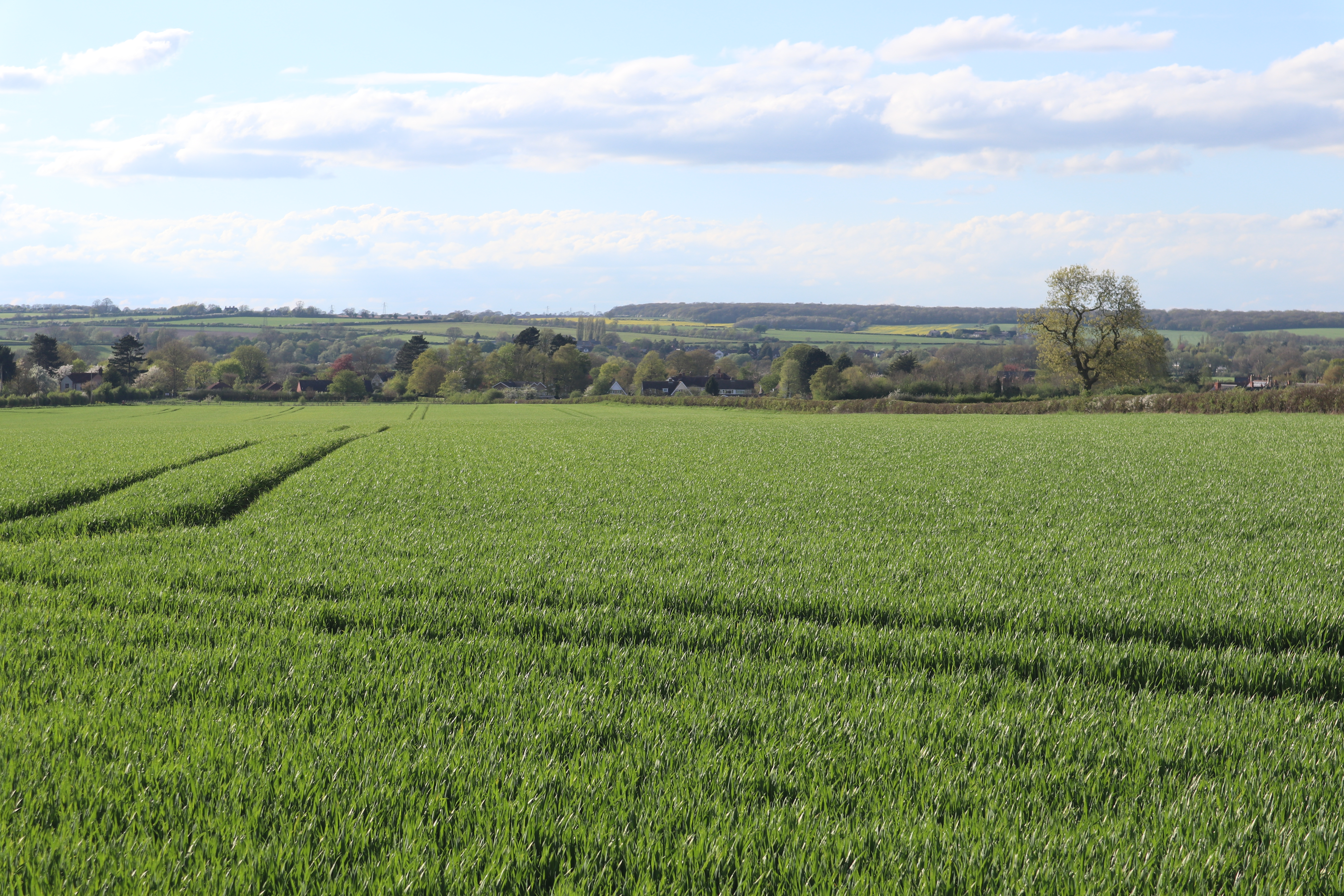
Cracknell Hill is a prominent hill located in the county of Bedfordshire, in the eastern region of England. Situated near the village of Maulden, this natural landmark offers captivating views of the surrounding countryside.
Standing at an elevation of approximately 111 meters (364 feet), Cracknell Hill is a popular destination for outdoor enthusiasts and nature lovers. Its gentle slopes and well-defined trails make it an ideal location for hiking, walking, and even picnicking. The hill is covered with lush green vegetation, including grassland and scattered trees, creating a picturesque setting for visitors to enjoy.
Cracknell Hill is part of the Greensand Ridge, a range of hills that stretches across Bedfordshire and neighboring counties. This geological feature adds to the scenic beauty of the area and provides a diverse habitat for a variety of plant and animal species. The hill is particularly known for its wildflowers, which bloom in abundance during the spring and summer months, attracting butterflies and other pollinators.
The hill is accessible via public footpaths and is a popular spot for local residents and tourists alike. On a clear day, visitors can admire panoramic views of the surrounding landscape, including nearby towns and villages. The tranquil and peaceful atmosphere of Cracknell Hill makes it an excellent place for relaxation and connecting with nature.
In conclusion, Cracknell Hill in Bedfordshire offers a delightful natural escape, with its stunning views, well-maintained trails, and diverse flora and fauna. Whether for a leisurely stroll or a more challenging hike, this hill provides an enjoyable and rewarding experience for all who venture to its summit.
If you have any feedback on the listing, please let us know in the comments section below.
Cracknell Hill Images
Images are sourced within 2km of 52.197878/-0.62172509 or Grid Reference SP9456. Thanks to Geograph Open Source API. All images are credited.


![Stinking Iris [Iris foetidissima] Striking fruits of this wild Iris by a lakeside footpath in Harrold-Odell Country Park. The crushed leaves are said to have a strong unpleasant smell when bruised.](https://s2.geograph.org.uk/geophotos/07/68/14/7681450_6677eb81.jpg)


Cracknell Hill is located at Grid Ref: SP9456 (Lat: 52.197878, Lng: -0.62172509)
Unitary Authority: Bedford
Police Authority: Bedfordshire
What 3 Words
///drum.positions.jukebox. Near Harrold, Bedfordshire
Nearby Locations
Related Wikis
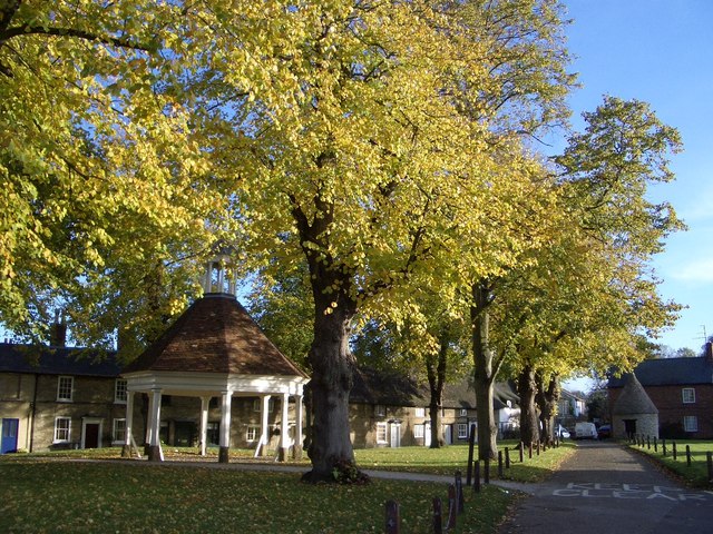
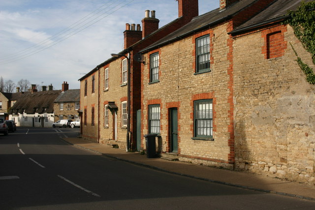
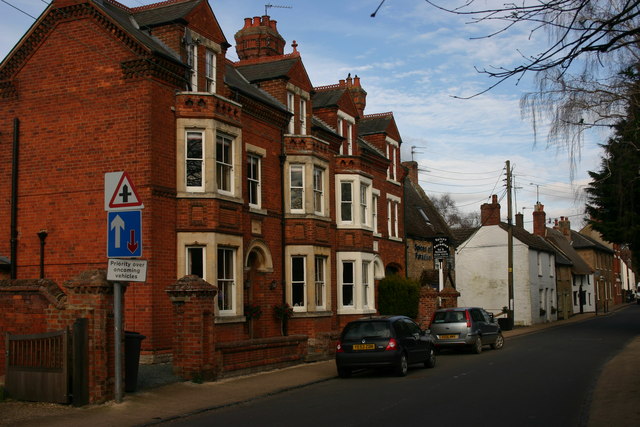
Harrold, Bedfordshire
Harrold is a village, civil parish and electoral ward in the Borough of Bedford within Bedfordshire, England, around nine miles north-west of Bedford....
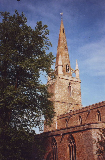
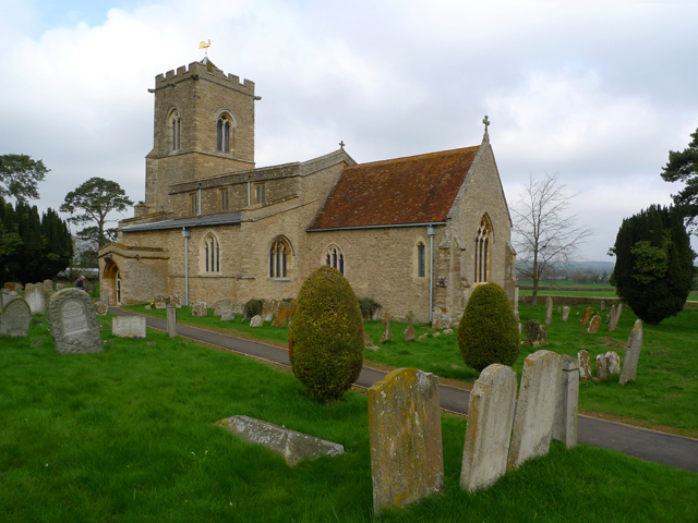
Church of St Peter, Harrold, Bedfordshire
Church of St Peter is a Grade I listed church in Harrold, Bedfordshire, England. == See also == Grade I listed buildings in Bedfordshire == References ==

Harrold Priory
Harrold Priory was a priory in Harrold, Bedfordshire, England. It was established in 1138 and disestablished in 1536. == History == The priory of Harrold...
Harrold Hall
Harrold Hall was a country house in Harrold, Bedfordshire, England. Dated to 1210, the house was demolished in 1961. == References ==
Carlton, Bedfordshire
Carlton is a village and former civil parish, now in the parish of Carlton and Chellington, in the Bedford district, in the ceremonial county of Bedfordshire...
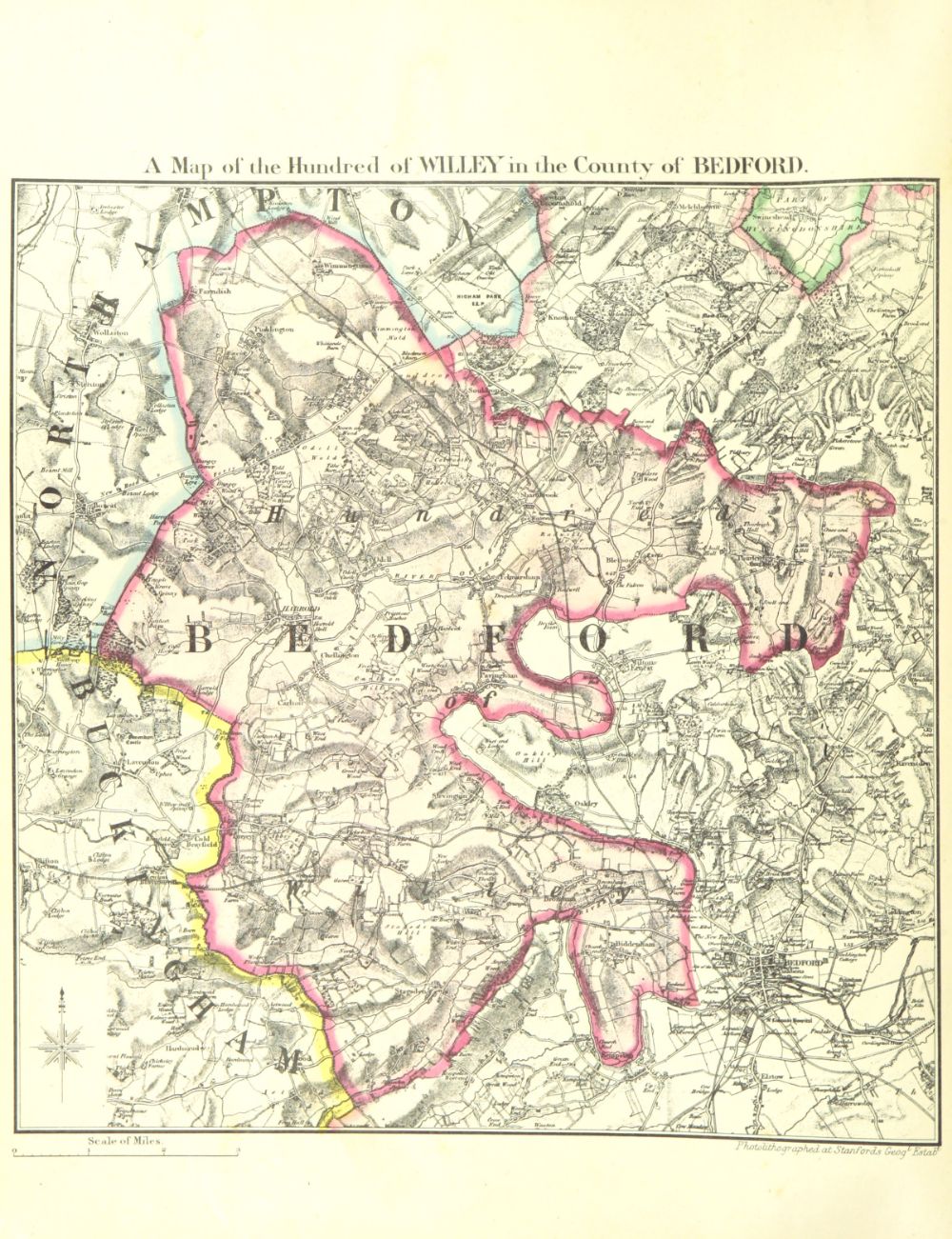
Hundred of Willey
The Hundred of Willey is a historical land division, a hundred in the northwest corner of Bedfordshire, England. Its northwestern boundary is the county...
Carlton with Chellington
Carlton with Chellington is a civil parish in the historical Hundred of Willey in Bedfordshire, England, and is within the Borough of Bedford. The parish...
Church of St Mary, Carlton, Bedfordshire
Church of St Mary is a Grade I listed church in Carlton, Bedfordshire, England. == See also == Grade I listed buildings in Bedfordshire == References ==
Nearby Amenities
Located within 500m of 52.197878,-0.62172509Have you been to Cracknell Hill?
Leave your review of Cracknell Hill below (or comments, questions and feedback).