Hop Hill
Hill, Mountain in Lincolnshire North Kesteven
England
Hop Hill
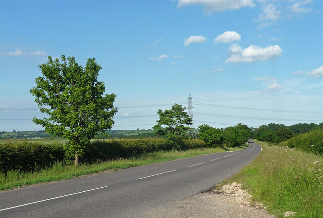
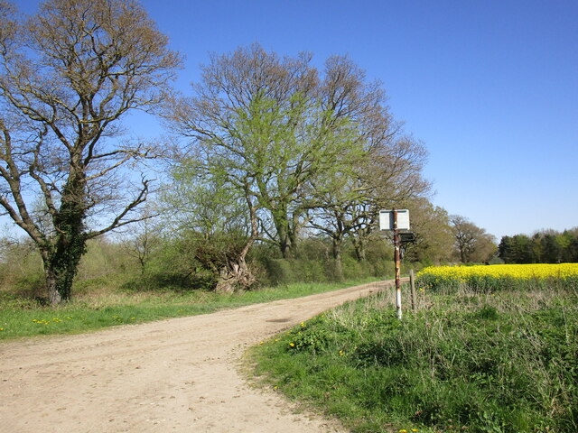
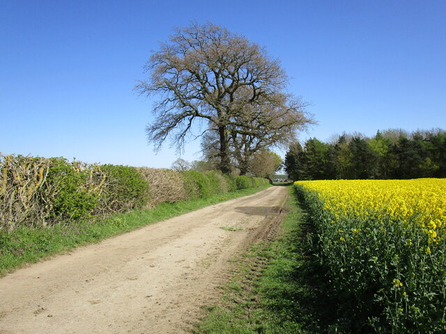
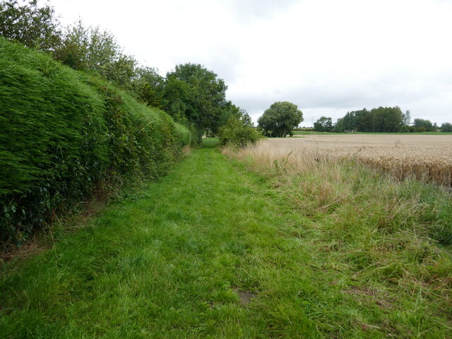
Hop Hill is a prominent hill located in the county of Lincolnshire, England. Situated near the village of Skillington, it forms part of the picturesque landscape of the Lincolnshire Wolds, an Area of Outstanding Natural Beauty. Standing at an elevation of approximately 168 meters (551 feet), it is one of the highest points in the region.
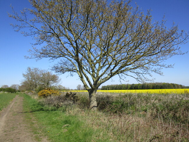
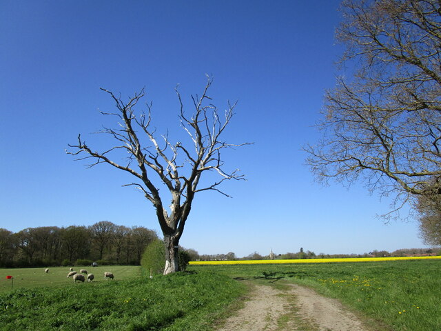
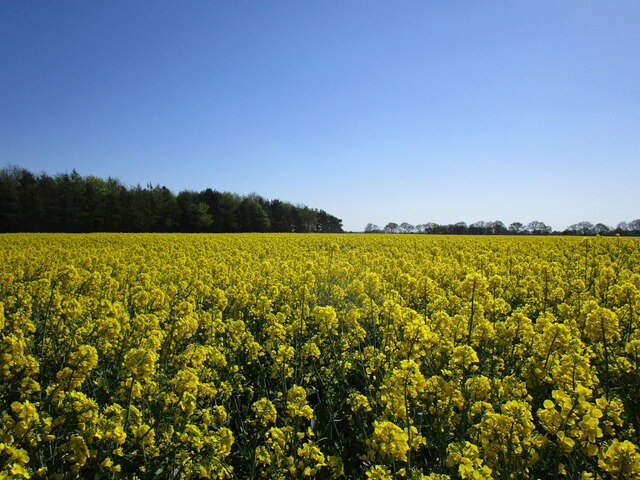
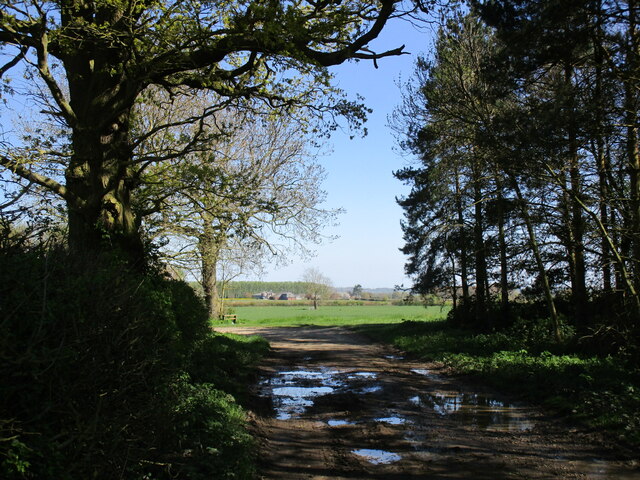
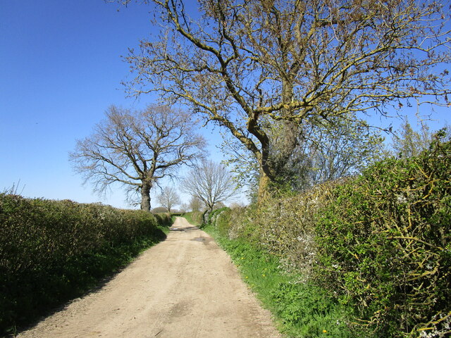
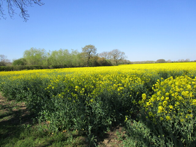
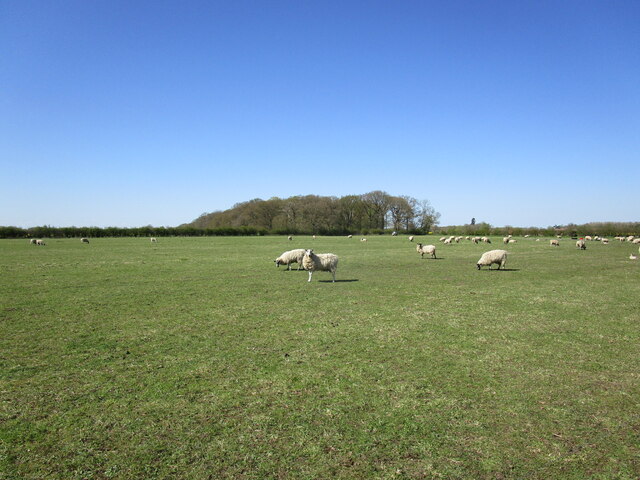
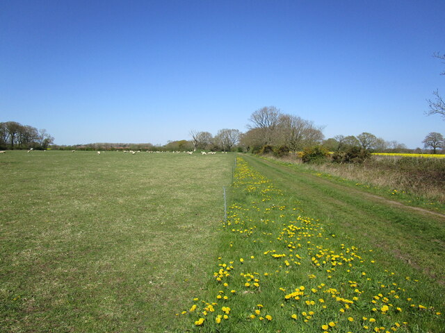
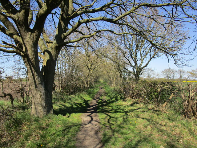
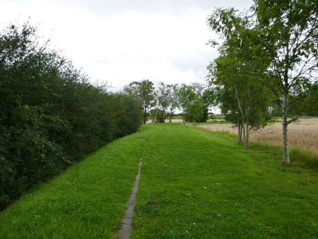
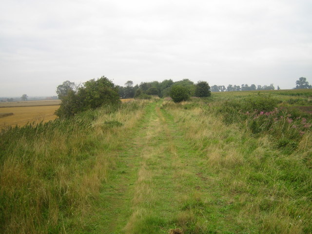
Covered in lush green vegetation, Hop Hill offers breathtaking panoramic views of the surrounding countryside. Its gently sloping sides are adorned with vibrant wildflowers during the spring and summer months, creating a picturesque scene. The hill's unique topography makes it a popular destination for hikers, nature enthusiasts, and photographers.
Hop Hill derives its name from the old English word "hop" meaning "steep." It is believed to have been formed by glacial activity during the last Ice Age. The hill's geological composition consists mainly of chalk and limestone, which contribute to its distinctive appearance.
The area surrounding Hop Hill is rich in biodiversity, providing a habitat for a variety of plant and animal species. During the summer, the hillside is alive with the buzzing of bees and the songs of birds. Visitors may encounter wildlife such as hares, rabbits, and various species of butterflies.
Hop Hill offers visitors a tranquil retreat away from the hustle and bustle of urban life. Its natural beauty and stunning vistas make it a popular destination for outdoor activities, including walking, picnicking, and photography. Whether exploring the area's flora and fauna or simply enjoying the peaceful surroundings, Hop Hill is a must-visit attraction for nature lovers in Lincolnshire.
If you have any feedback on the listing, please let us know in the comments section below.
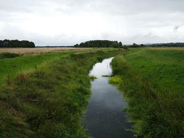
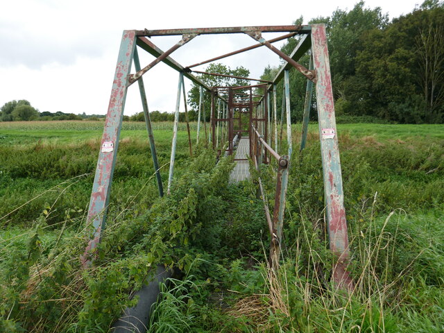
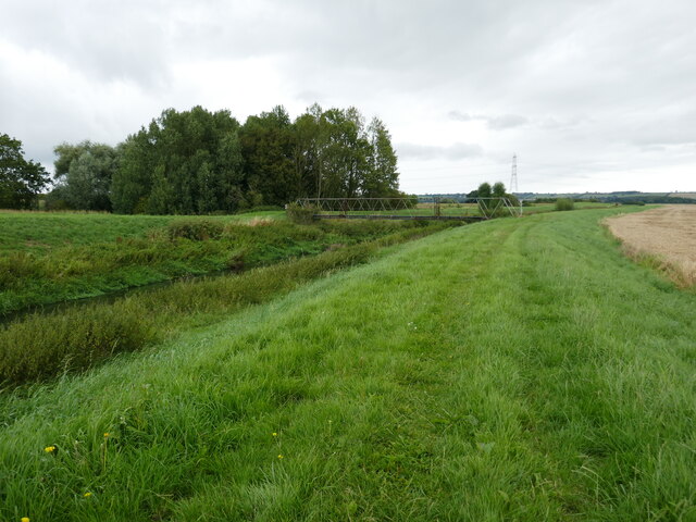
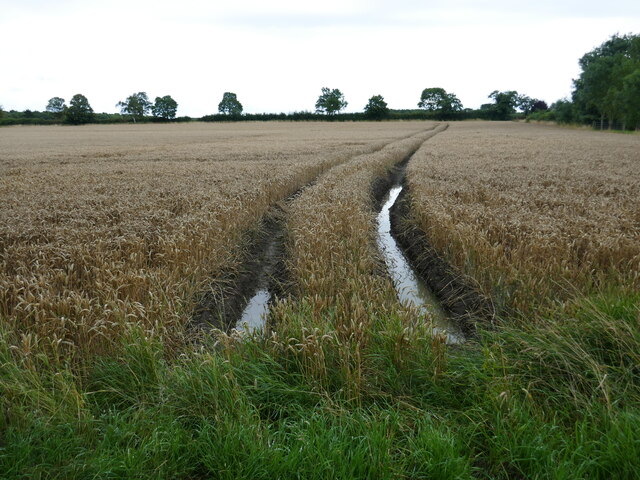
Hop Hill Images
Images are sourced within 2km of 53.153724/-0.60644457 or Grid Reference SK9362. Thanks to Geograph Open Source API. All images are credited.
Hop Hill is located at Grid Ref: SK9362 (Lat: 53.153724, Lng: -0.60644457)
Administrative County: Lincolnshire
District: North Kesteven
Police Authority: Lincolnshire
What 3 Words
///trucks.summit.entrust. Near Bassingham, Lincolnshire
Nearby Locations
Related Wikis

Aubourn Haddington and South Hykeham
Aubourn Haddington and South Hykeham was a former civil parish in the North Kesteven district of Lincolnshire, England. According to the 2001 census it...

Aubourn
Aubourn ("Stream where the Alders grow") is a small village in the civil parish of Aubourn with Haddington, in the North Kesteven district, in the county...

Aubourn with Haddington
Aubourn with Haddington or Aubourn and Haddington is a civil parish in the North Kesteven district of Lincolnshire, England. The population of the civil...

Haddington, Lincolnshire
Haddington is a hamlet in the civil parish of Aubourn with Haddington, in the North Kesteven district of Lincolnshire, England. It is situated just off...

South Hykeham
South Hykeham is a village and civil parish in the North Kesteven district of Lincolnshire, England. The population of the civil parish at the 2011 census...

River Brant
The River Brant is a 14 mi-long (23 km) tributary of the River Witham that flows entirely in the county of Lincolnshire, in the east of England. In 1855...

Thurlby, North Kesteven
Thurlby is a village and civil parish in the North Kesteven district of Lincolnshire, England, about 9 miles (14 km) south-west of the city of Lincoln...
Harmston railway station
Harmston railway station was a station in Harmston, Lincolnshire on the Grantham and Lincoln railway line. It closed in 1962 but the line remained open...
Nearby Amenities
Located within 500m of 53.153724,-0.60644457Have you been to Hop Hill?
Leave your review of Hop Hill below (or comments, questions and feedback).